Valley Plantation
Wood, Forest in Hertfordshire North Hertfordshire
England
Valley Plantation
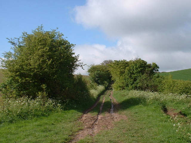
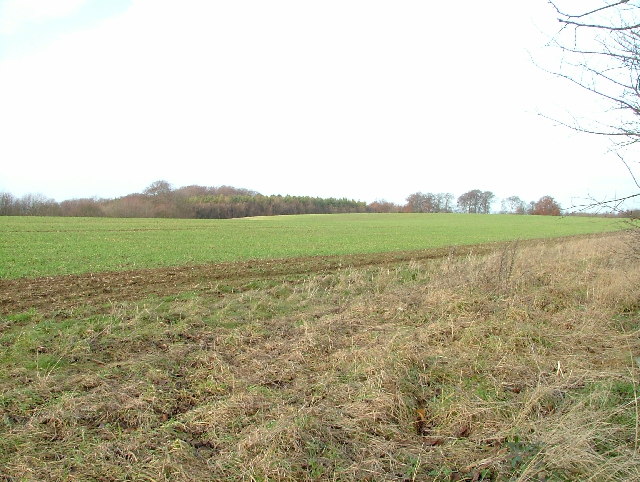
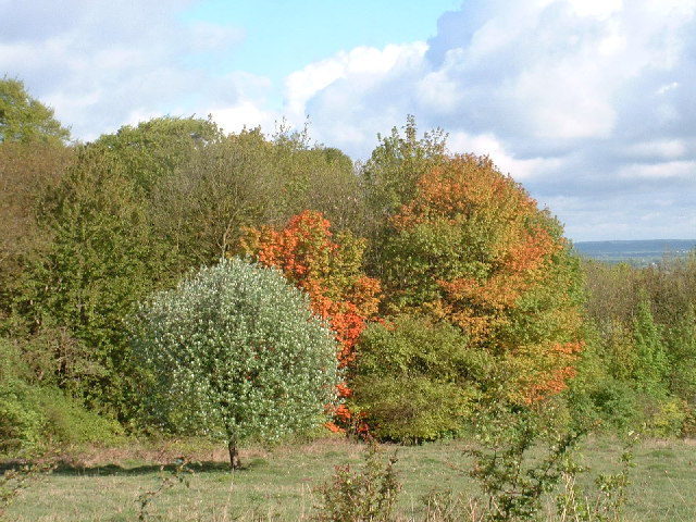
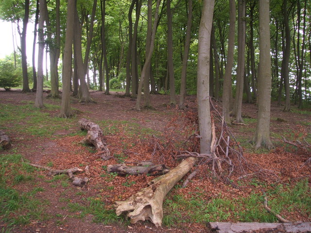
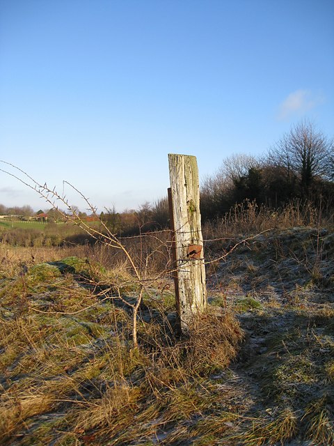
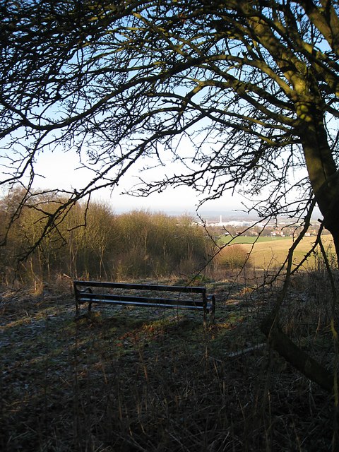
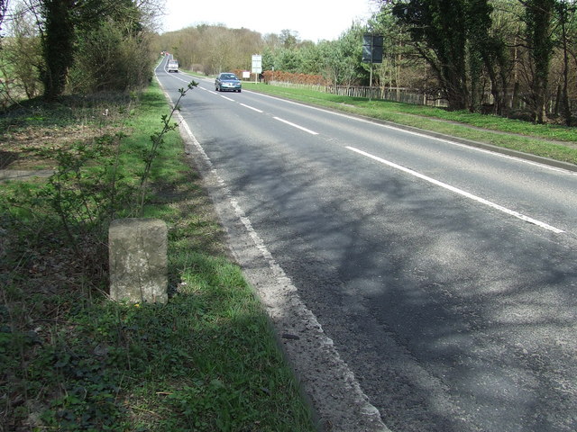
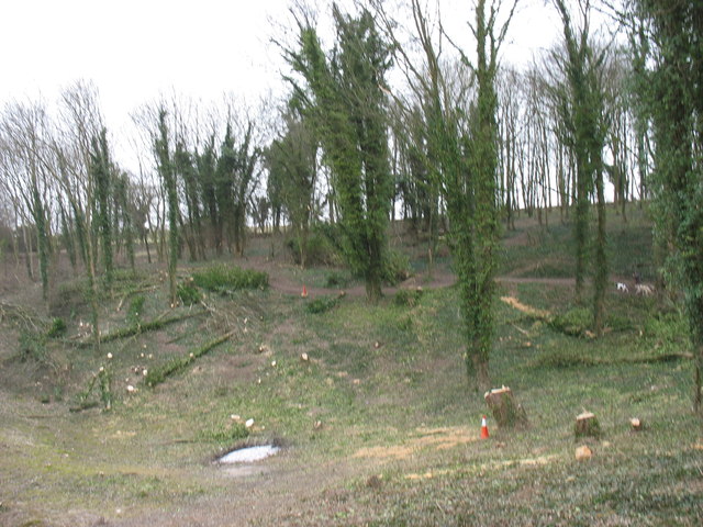
Valley Plantation is a picturesque woodland located in Hertfordshire, England. Situated in the heart of the county, this enchanting forest covers an expansive area, providing a serene natural escape for visitors. With its diverse flora and fauna, Valley Plantation offers a unique opportunity to immerse oneself in the beauty of nature.
This woodland boasts a rich history, dating back centuries. It was once part of a vast estate owned by the local nobility and has since been preserved as a protected area. The ancient trees that populate the plantation stand tall, creating a majestic canopy that casts a soothing shade over the forest floor.
Walking through Valley Plantation, visitors can expect to encounter a wide variety of plant species. The woodland is home to a plethora of native trees, including oak, beech, and ash, which provide habitats for numerous birds, insects, and small mammals. In the spring, the forest floor is adorned with a vibrant display of bluebells, creating a breathtaking sight.
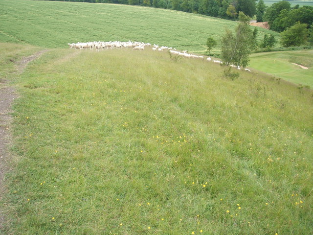
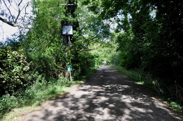
The plantation offers a network of well-maintained walking trails, allowing visitors to explore its enchanting surroundings. Whether strolling through the tranquil woodland or embarking on a more challenging hike, Valley Plantation provides a peaceful retreat for outdoor enthusiasts of all levels.
In addition to its natural beauty, Valley Plantation is also a site of historical interest. Ruins of an old manor house can still be found within the woodland, serving as a reminder of the area's past. This combination of natural splendor and historical significance makes Valley Plantation a must-visit destination for nature lovers and history enthusiasts alike.
If you have any feedback on the listing, please let us know in the comments section below.
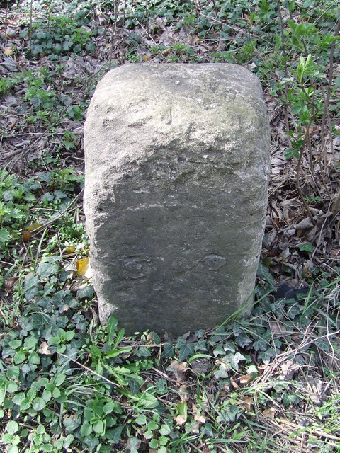
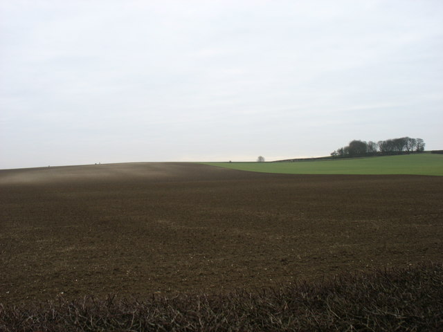
Valley Plantation Images
Images are sourced within 2km of 52.041768/-0.041578517 or Grid Reference TL3439. Thanks to Geograph Open Source API. All images are credited.
Valley Plantation is located at Grid Ref: TL3439 (Lat: 52.041768, Lng: -0.041578517)
Administrative County: Hertfordshire
District: North Hertfordshire
Police Authority: Hertfordshire
What 3 Words
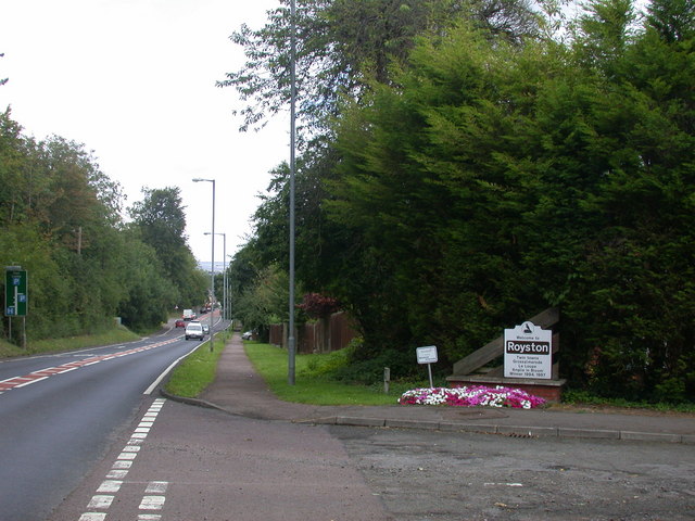
///cans.elevated.flippers. Near Royston, Hertfordshire
Nearby Locations
Related Wikis
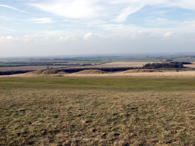
Therfield Heath
Therfield Heath is a biological Site of Special Scientific Interest and Local Nature Reserve on the chalk escarpment just north of Therfield, Hertfordshire...

Fox Covert
Fox Covert is a 2.9-hectare (7.2-acre) nature reserve near Royston in North Hertfordshire. It is owned and managed by the Herts and Middlesex Wildlife...

Ashwell Rural District
Ashwell Rural District was a rural district in Hertfordshire, England from 1894 to 1935, covering an area in the north-east of the county. == Evolution... ==
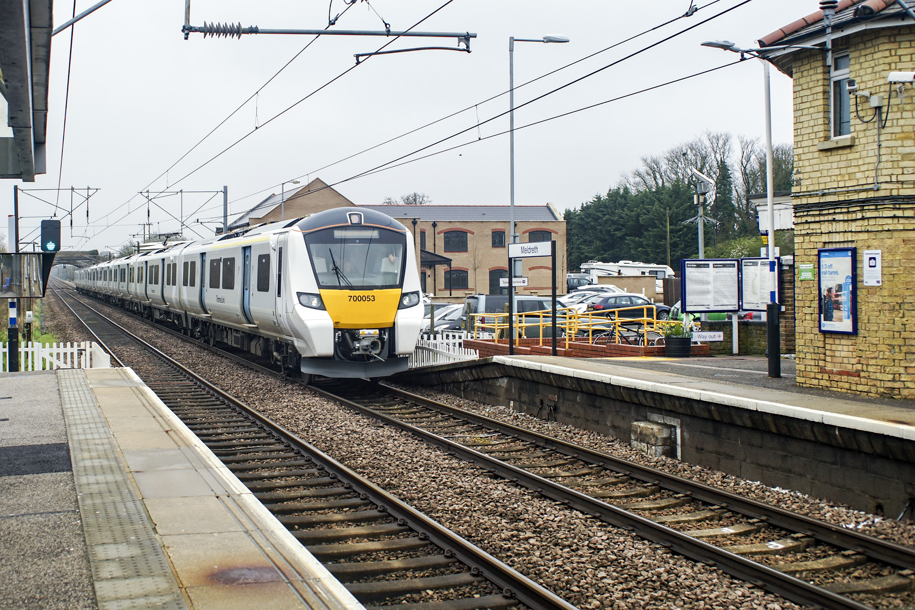
Cambridge line
The Cambridge line runs from Cambridge junction north of Hitchin on the East Coast Main Line to Shepreth Branch Junction south of Cambridge on the West...

Roisia's Cross
Roisia's Cross is a cross in Royston, Hertfordshire, at the crossroads of Ermine Street and the Icknield Way (cum Ashwell Street).Most likely it was in...
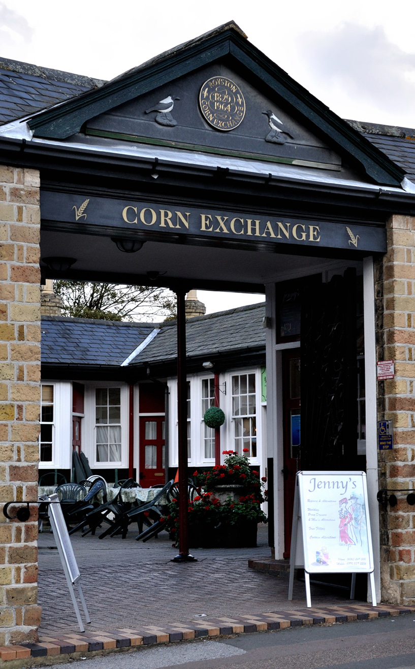
Corn Exchange, Royston
The Corn Exchange is a commercial building on Market Hill in Royston, Hertfordshire, England. The structure, which is now used as a series of retail units...

Church of St John the Baptist, Royston, Hertfordshire
The Church of St John the Baptist is an Anglican church in the town of Royston, Hertfordshire, England. The nave and aisles, which were built c. 1250,...

Royston Cave
Royston Cave is an artificial cave located in Katherine's Yard, Melbourn Street, Royston, England. It is located beneath the crossroads formed by Ermine...
Nearby Amenities
Located within 500m of 52.041768,-0.041578517Have you been to Valley Plantation?
Leave your review of Valley Plantation below (or comments, questions and feedback).