Tillinghurst Shaw

Wood, Forest in Sussex Mid Sussex

England

Tillinghurst Shaw

Bridleway 33Ba This follows the east side of Ardingly Reservoir, usually closer than this.
Bridleway 33Ba Credit: Robin Webster

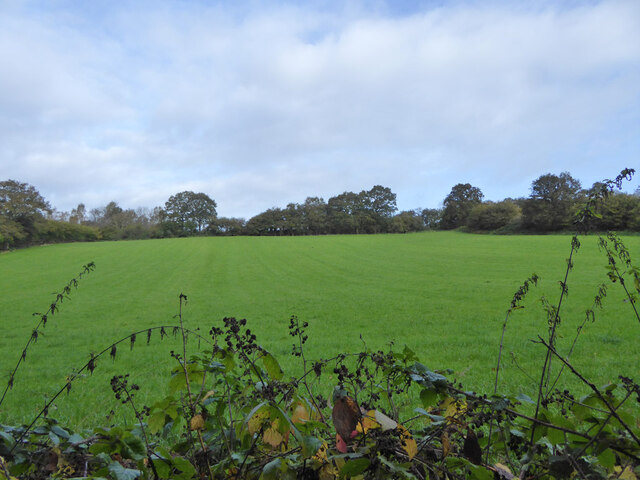
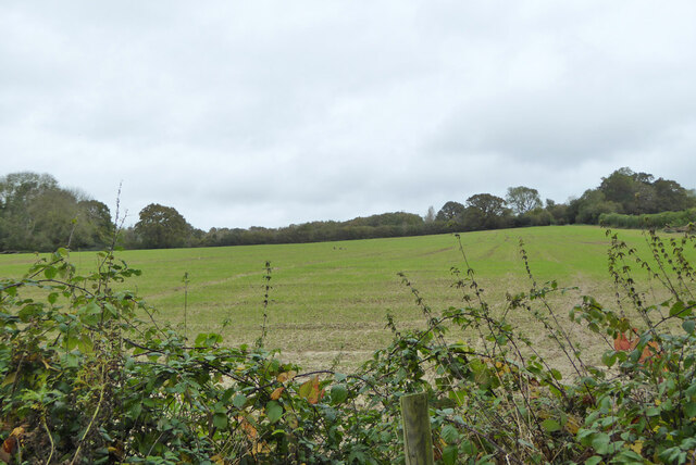
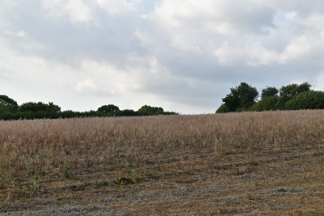
Tillinghurst Shaw is a picturesque woodland area located in Sussex, England. This enchanting forest covers an expansive area, providing a thriving habitat for a diverse range of flora and fauna. The shaw is situated amidst the rolling hills and valleys, creating a serene and tranquil atmosphere.

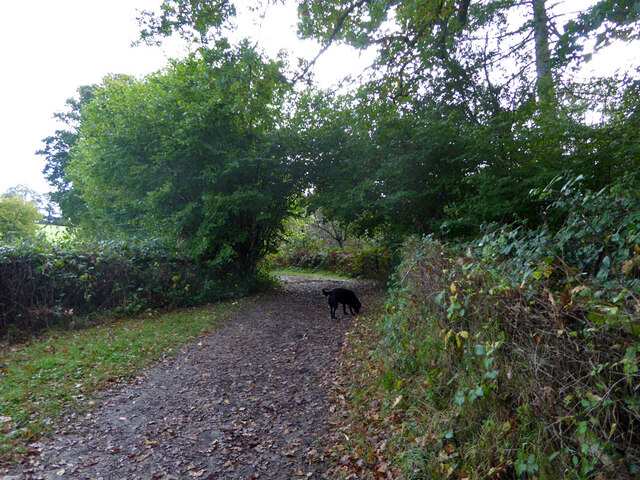
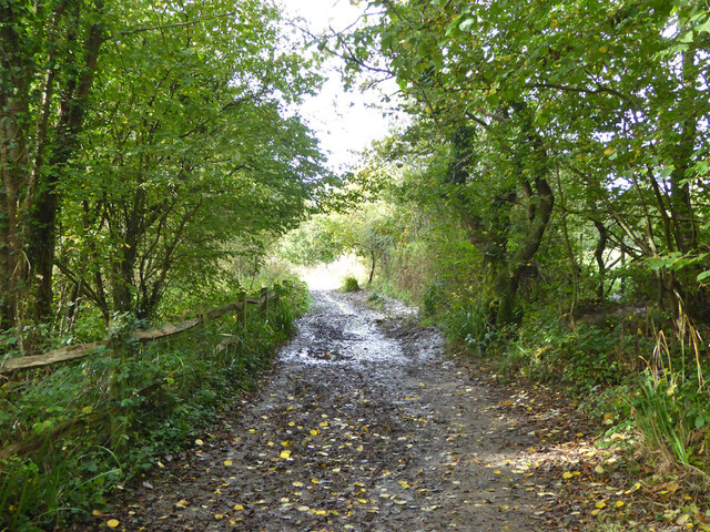
The woodland is predominantly composed of deciduous trees, including oak, beech, and maple, which create a stunning canopy that provides shade and shelter. The forest floor is adorned with a rich carpet of wildflowers, ferns, and mosses, adding to the area's natural beauty.

Tillinghurst Shaw is a haven for wildlife enthusiasts, as it is home to a variety of animal species. Visitors may have the chance to spot deer, foxes, badgers, and a plethora of bird species, including woodpeckers, owls, and various songbirds. The shaw provides a vital habitat for these creatures, offering ample food sources and protective cover.

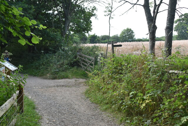
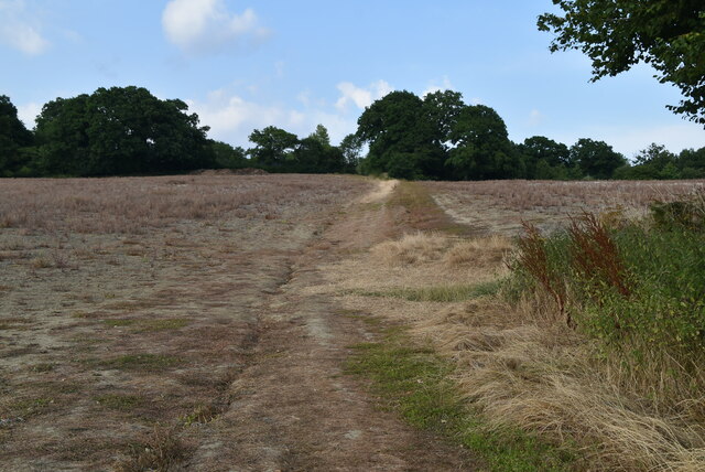
The forest also offers numerous recreational activities for visitors to enjoy. There are several walking trails and pathways that wind through the woodland, allowing visitors to immerse themselves in the peaceful surroundings. These trails provide an opportunity for nature lovers to observe the local wildlife and appreciate the beauty of the forest.

Tillinghurst Shaw is a true gem of Sussex, offering a remarkable natural setting that is both serene and captivating. Whether it is exploring the diverse flora and fauna or simply enjoying a peaceful walk, this woodland is a must-visit destination for nature enthusiasts and those seeking tranquility in the heart of Sussex.

If you have any feedback on the listing, please let us know in the comments section below.

Tillinghurst Shaw Images

Images are sourced within 2km of 51.061471/-0.085589503 or Grid Reference TQ3430. Thanks to Geograph Open Source API. All images are credited.

Bridleway 33Ba This follows the east side of Ardingly Reservoir, usually closer than this.
Bridleway 33Ba
This follows the east side of Ardingly Reservoir, usually closer than this.
Field north of Ardingly Reservoir
Bridleway 42 Ar This, together with its continuation 33Ba, follows the east side of Ardingly Reservoir.
Bridleway 42 Ar
This, together with its continuation 33Ba, follows the east side of Ardingly Reservoir.
Ardingly Reservoir
Ardingly Reservoir
Field near Townhouse Farm Looking up from the path by Ardingly Reservoir.
Field near Townhouse Farm
Looking up from the path by Ardingly Reservoir.
Houses on High Street
Ardingly Post Office
Footpath waymarker
Footpath waymarker
Field by Ardingly Reservoir
Footpath to Ardingly
Townhouse Farmhouse
Townhouse Farmhouse
Track to Ardingly
Track to Ardingly
Old Knowles
Old Knowles
Church Lane
Church Lane
The Croft
The Croft
Graves, Church of St Peter The present building dates from the 14th century and was restored during the Victorian era, but Christian worship on the site has a much longer history. The stone-built, Decorated Gothic-style church, west of the village centre, has been designated a Grade I Listed building. <span class="nowrap"><a title="http://www.britishlistedbuildings.co.uk/en-302284-the-parish-church-of-st-peter-ardingly-w" rel="nofollow ugc noopener" href="http://www.britishlistedbuildings.co.uk/en-302284-the-parish-church-of-st-peter-ardingly-w">Link</a><img style="margin-left:2px;" alt="External link" title="External link - shift click to open in new window" src="https://s1.geograph.org.uk/img/external.png" width="10" height="10"/></span> 
Wikipedia: <span class="nowrap"><a title="http://en.wikipedia.org/wiki/St_Peter%27s_Church,_Ardingly" rel="nofollow ugc noopener" href="http://en.wikipedia.org/wiki/St_Peter%27s_Church,_Ardingly">Link</a><img style="margin-left:2px;" alt="External link" title="External link - shift click to open in new window" src="https://s1.geograph.org.uk/img/external.png" width="10" height="10"/></span>
Graves, Church of St Peter
The present building dates from the 14th century and was restored during the Victorian era, but Christian worship on the site has a much longer history. The stone-built, Decorated Gothic-style church, west of the village centre, has been designated a Grade I Listed building. LinkExternal link Wikipedia: LinkExternal link
Church of St Peter The present building dates from the 14th century and was restored during the Victorian era, but Christian worship on the site has a much longer history. The stone-built, Decorated Gothic-style church, west of the village centre, has been designated a Grade I Listed building. <span class="nowrap"><a title="http://www.britishlistedbuildings.co.uk/en-302284-the-parish-church-of-st-peter-ardingly-w" rel="nofollow ugc noopener" href="http://www.britishlistedbuildings.co.uk/en-302284-the-parish-church-of-st-peter-ardingly-w">Link</a><img style="margin-left:2px;" alt="External link" title="External link - shift click to open in new window" src="https://s1.geograph.org.uk/img/external.png" width="10" height="10"/></span> 
Wikipedia: <span class="nowrap"><a title="http://en.wikipedia.org/wiki/St_Peter%27s_Church,_Ardingly" rel="nofollow ugc noopener" href="http://en.wikipedia.org/wiki/St_Peter%27s_Church,_Ardingly">Link</a><img style="margin-left:2px;" alt="External link" title="External link - shift click to open in new window" src="https://s1.geograph.org.uk/img/external.png" width="10" height="10"/></span>
Church of St Peter
The present building dates from the 14th century and was restored during the Victorian era, but Christian worship on the site has a much longer history. The stone-built, Decorated Gothic-style church, west of the village centre, has been designated a Grade I Listed building. LinkExternal link Wikipedia: LinkExternal link
Show me another place!

Tillinghurst Shaw is located at Grid Ref: TQ3430 (Lat: 51.061471, Lng: -0.085589503)

Administrative County: West Sussex

District: Mid Sussex

Police Authority: Sussex

What 3 Words

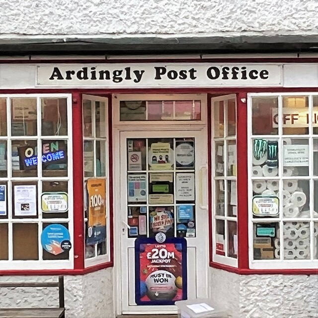
///loom.kinks.resurgent. Near Ardingly, West Sussex

Related Wikis

Wakehurst Place

Wakehurst, previously known as Wakehurst Place, is a house and botanic gardens in West Sussex, England, owned by the National Trust but used and managed...

South of England Show

The South of England Show is a county show held annually at its own showground in Ardingly, Sussex during June.The show was founded in 1967 and is organised...

Millennium Seed Bank Partnership

The Millennium Seed Bank Partnership (MSBP or MSB), formerly known as the Millennium Seed Bank Project, is the largest ex situ plant conservation programme...

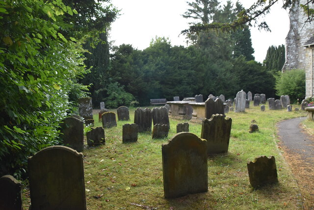
St Peter's Church, Ardingly

St Peter's Church is the Church of England parish church of the parish of Ardingly in Mid Sussex, one of seven local government districts in the English...

Wakehurst and Chiddingly Woods

Wakehurst and Chiddingly Woods is a 155.9-hectare (385-acre) biological and geological Site of Special Scientific Interest south-east of Crawley in West...

Philpot's and Hook Quarries

Philpot's and Hook Quarries is a 2.6-hectare (6.4-acre) geological Site of Special Scientific Interest south-west of Sharpthorne in West Sussex. It is...
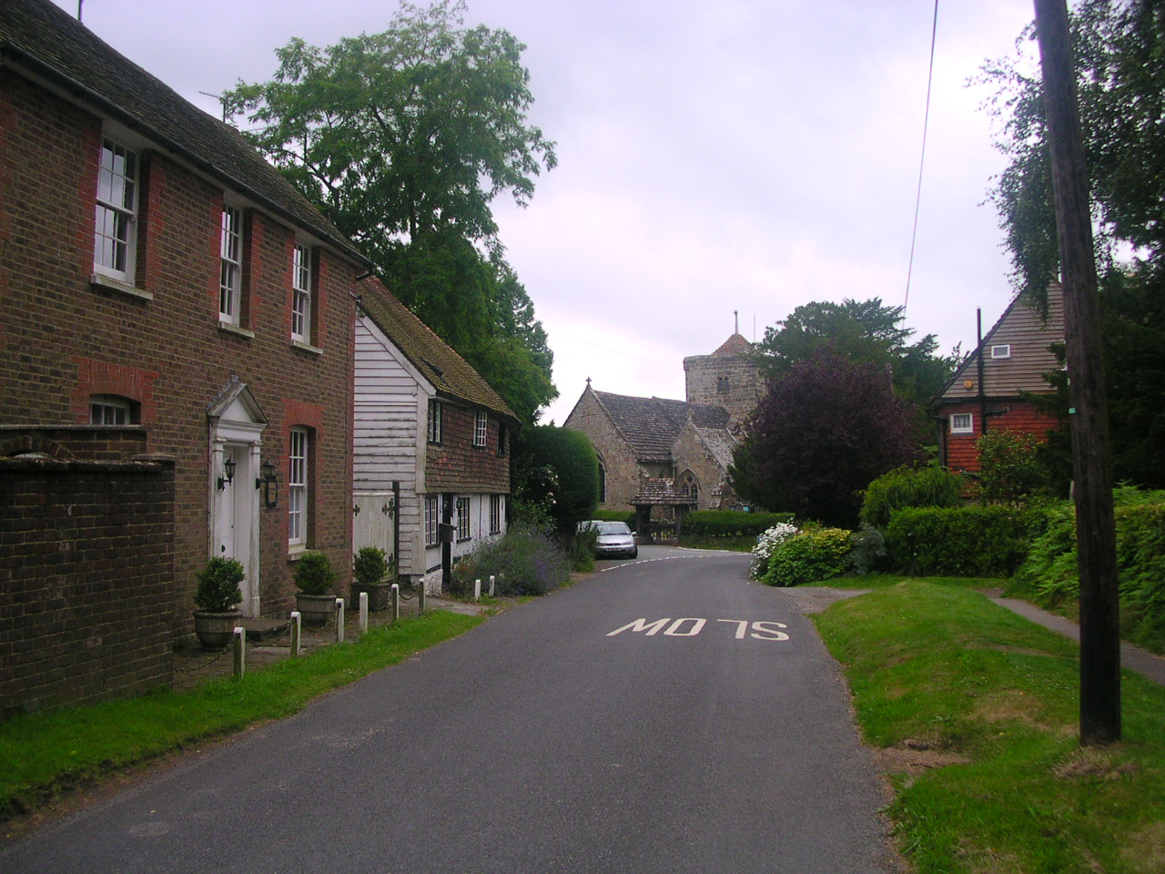
Ardingly

Ardingly ( AR-ding-lye) is an English village and civil parish in the Mid Sussex district of West Sussex, England. The village is in the High Weald Area...
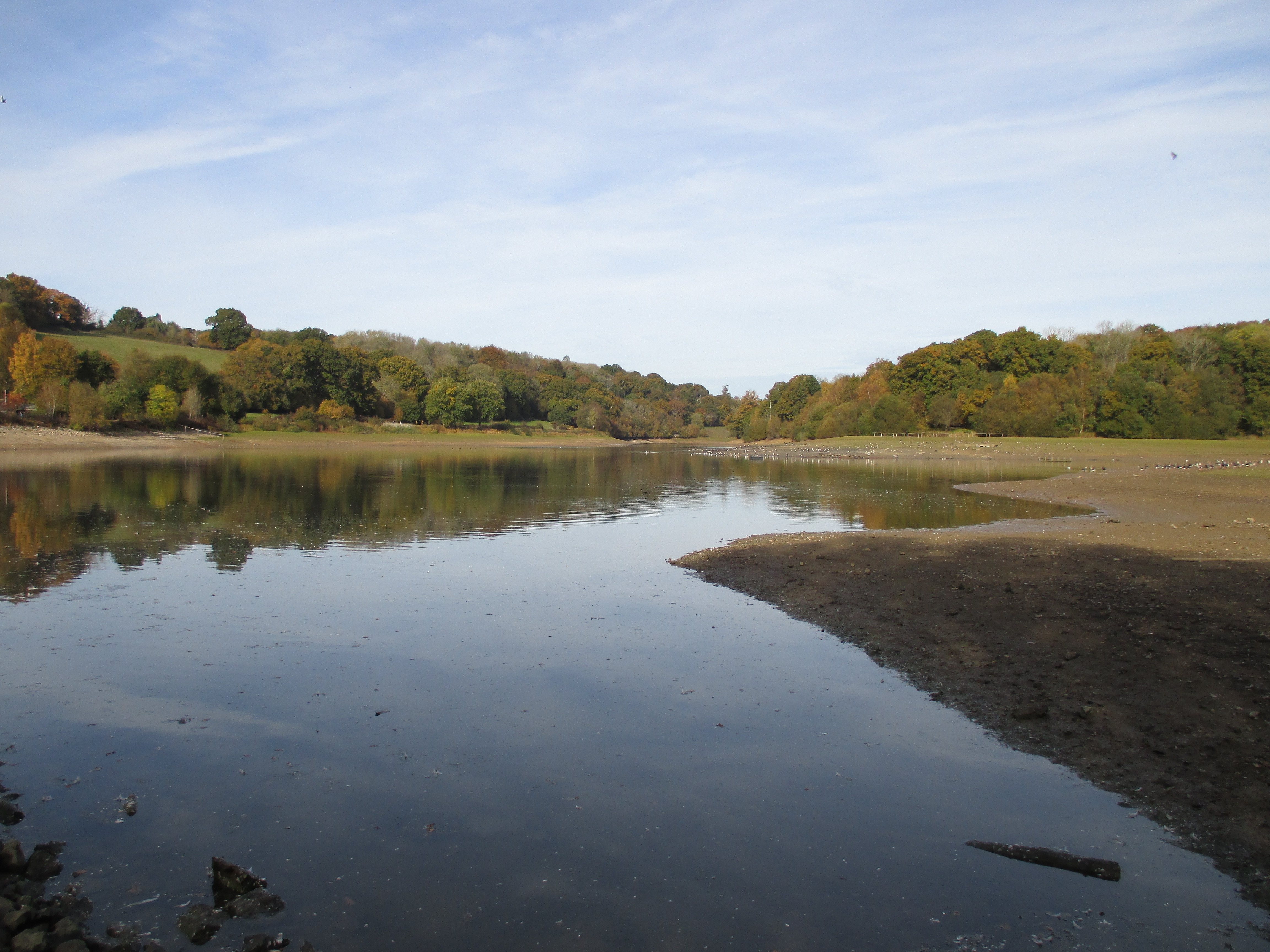
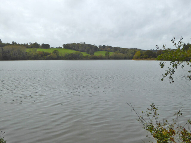
Ardingly Reservoir

Ardingly Reservoir is west of Ardingly in West Sussex. The southern end is a 74.5-hectare (184-acre) Local Nature Reserve owned and managed by South East...

Nearby Amenities

Located within 500m of 51.061471,-0.085589503
Post Box
Ref: RH17 40
Lat/Long: 51.0596883/-0.0857354
Bus Stop
Gardeners Arms
Naptan AtcoCode: 4400EG0163
Naptan Bearing: N
Naptan CommonName: Gardeners Arms
Naptan Indicator: opp Gardners Arms
Naptan Landmark: Gardners Arms
Naptan NaptanCode: wsxapagt
Naptan Street: B2028
Naptan Verified: no
Public Transport: platform
Shelter: no
Source: naptan_import
Lat/Long: 51.0598887/-0.0859671
Bus Stop
Gardeners Arms
Bench: no
Naptan AtcoCode: 4400EG0164
Naptan Bearing: S
Naptan CommonName: Gardeners Arms
Naptan Indicator: outside Gardeners Arms
Naptan Landmark: Gardners Arms
Naptan NaptanCode: wsxapagw
Naptan Street: A2028
Naptan Verified: no
Public Transport: platform
Shelter: no
Source: naptan_import
Lat/Long: 51.0595882/-0.0858311
20
Information: guidepost
Tourism: information
Lat/Long: 51.0653068/-0.0889696
19
Information: guidepost
Tourism: information
Lat/Long: 51.0648732/-0.0881555
21
Information: guidepost
Tourism: information
Lat/Long: 51.0653187/-0.0892224
Bench
Backrest: yes
Lat/Long: 51.0646448/-0.0892817
Bench
Backrest: yes
Lat/Long: 51.063968/-0.0899226
Bench
Lat/Long: 51.0641289/-0.0903637
Bench
Backrest: yes
Lat/Long: 51.0642276/-0.0894154
Bench
Lat/Long: 51.0641874/-0.0910591
Artwork Type: sculpture
Tourism: artwork
Lat/Long: 51.0651325/-0.0890971
Ardingly Showground
Historic: monument
Name En: Ardingly Showground
Lat/Long: 51.0573057/-0.0851969
Bench
Backrest: yes
Lat/Long: 51.0638316/-0.0897249
Bench
Backrest: yes
Lat/Long: 51.0638464/-0.089975
Bench
Backrest: yes
Lat/Long: 51.0638209/-0.0897928
The data included in this document is from www.openstreetmap.org. The data is made available under ODbL.

Have you been to Tillinghurst Shaw?

Leave your review of Tillinghurst Shaw below (or comments, questions and feedback).