Nevergood Wood

Wood, Forest in Surrey Tandridge

England

Nevergood Wood

London Temple of the Church of Jesus Christ of Latter-day Saints Often referred to as the Mormon Church at Lingfield, this has been a feature on the A22 for many years. <span class="nowrap"><a title="www.lds.org.uk" rel="nofollow ugc noopener" href="http://www.lds.org.uk">Link</a><img style="margin-left:2px;" alt="External link" title="External link - shift click to open in new window" src="https://s1.geograph.org.uk/img/external.png" width="10" height="10"/></span>
London Temple of the Church of Jesus Christ of Latter-day Saints Credit: Nigel Freeman

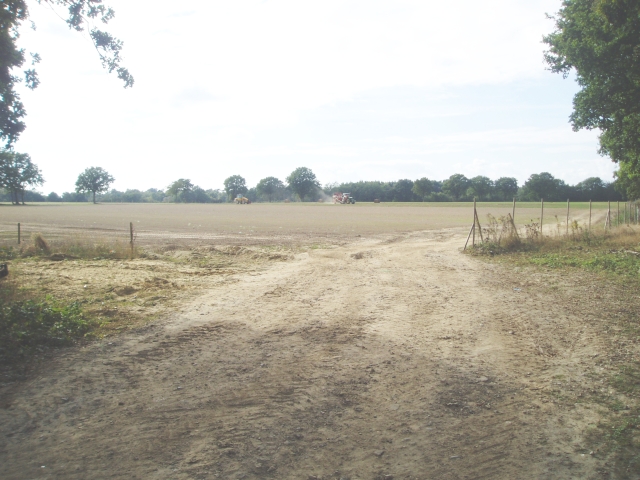
Nevergood Wood is a picturesque forest located in Surrey, England. Spanning over a vast area, this woodland is known for its natural beauty and tranquil atmosphere. It is situated in close proximity to the village of Nevergood, hence the name.

The forest is predominantly composed of deciduous trees, including oak, beech, and birch, which provide a stunning display of vibrant foliage during autumn. The dense canopy formed by these trees creates a shaded and cool environment, making it a perfect escape from the summer heat. A variety of wildflowers and ferns can also be found scattered across the forest floor, adding to its charm.

Nevergood Wood is home to a diverse range of wildlife, making it a popular spot for nature enthusiasts and birdwatchers. Visitors may spot various bird species, such as woodpeckers, jays, and owls, as well as small mammals like rabbits, squirrels, and even the occasional deer.

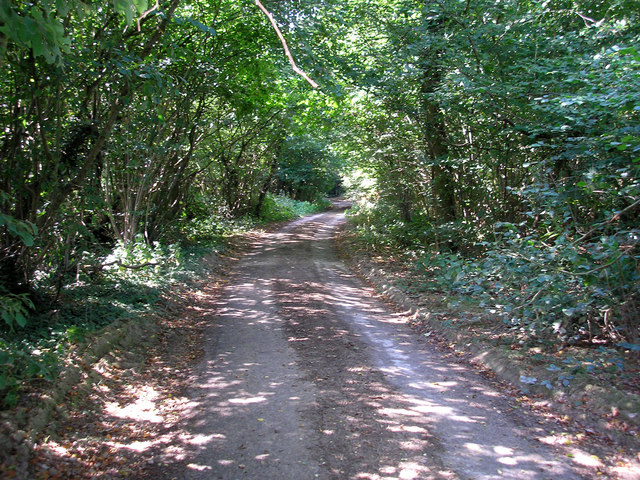
Walking and hiking trails crisscross the woodland, allowing visitors to explore its many hidden gems. These paths lead to secluded ponds, babbling brooks, and quiet glades, providing a peaceful retreat for those seeking solace in nature. The forest also offers a camping area for those who wish to spend a night under the stars.

Nevergood Wood is not only a natural haven but also an important ecological site, contributing to the conservation efforts in Surrey. It serves as a vital habitat for a wide range of plant and animal species, and efforts are made to maintain its biodiversity and protect it from human encroachment.

Overall, Nevergood Wood in Surrey is a captivating destination for nature lovers, offering a serene and enchanting experience in the heart of the English countryside.

If you have any feedback on the listing, please let us know in the comments section below.

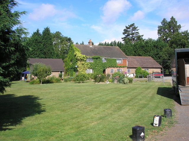
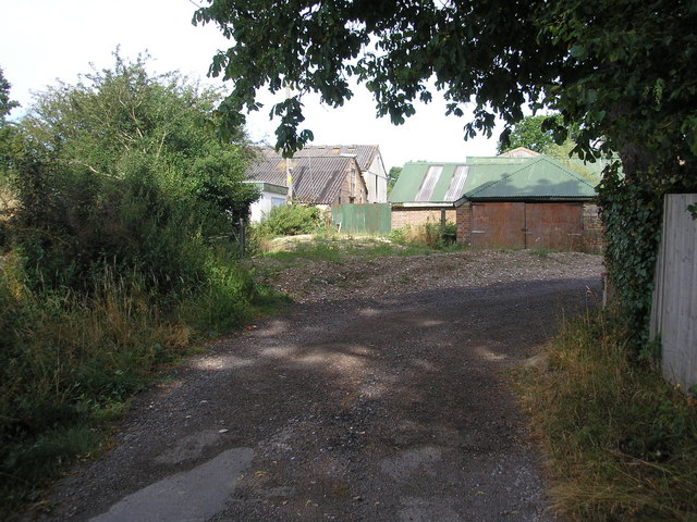
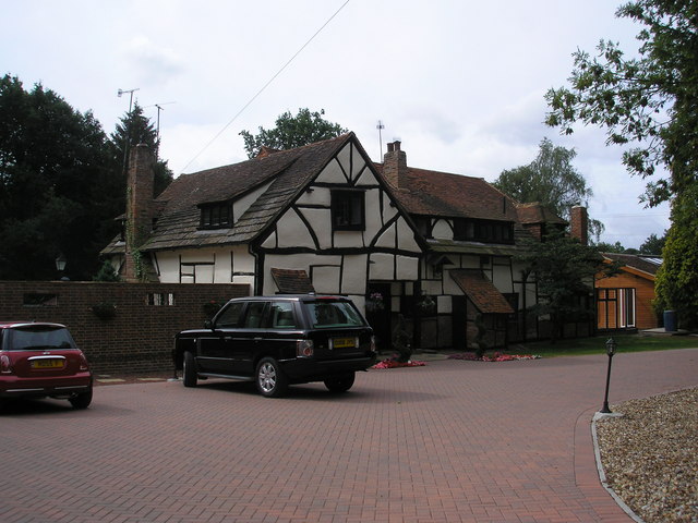
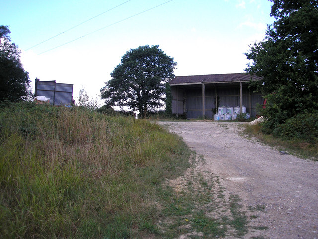
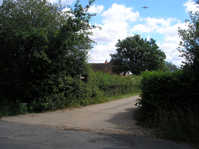
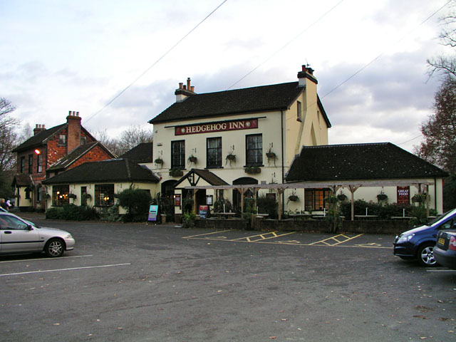
Nevergood Wood Images

Images are sourced within 2km of 51.16133/-0.081701477 or Grid Reference TQ3441. Thanks to Geograph Open Source API. All images are credited.

London Temple of the Church of Jesus Christ of Latter-day Saints Often referred to as the Mormon Church at Lingfield, this has been a feature on the A22 for many years. <span class="nowrap"><a title="www.lds.org.uk" rel="nofollow ugc noopener" href="http://www.lds.org.uk">Link</a><img style="margin-left:2px;" alt="External link" title="External link - shift click to open in new window" src="https://s1.geograph.org.uk/img/external.png" width="10" height="10"/></span>
London Temple of the Church of Jesus Christ of Latter-day Saints
Often referred to as the Mormon Church at Lingfield, this has been a feature on the A22 for many years. LinkExternal link
Turf Farming Perry Farm is flat and ideal for producing turves.
Turf Farming
Perry Farm is flat and ideal for producing turves.
Entering Bones Lane Coming from Brickhouse Lane, the road junction at Bones Lane.
Entering Bones Lane
Coming from Brickhouse Lane, the road junction at Bones Lane.
"Ducks crossing" unofficial warning sign in Smallfield Road, Smallfield to protect the residents of a nearby pond.
"Ducks crossing"
unofficial warning sign in Smallfield Road, Smallfield to protect the residents of a nearby pond.
Sheridan Farm, West Park Road, Surrey Sheridan Farm lies just south of the B2028 near Domewood.  The breeding and rearing of racehorses is an important activity here.
Sheridan Farm, West Park Road, Surrey
Sheridan Farm lies just south of the B2028 near Domewood. The breeding and rearing of racehorses is an important activity here.
Farm buildings, East Park Farm, Surrey This farm is reached down a small lane off the north side of the B2028.  Incidentally, geographers working in this gridsquare should be warned not to go onto the notorious Plantation Estate, where strangers, especially those with cameras, are very far from welcome.
Farm buildings, East Park Farm, Surrey
This farm is reached down a small lane off the north side of the B2028. Incidentally, geographers working in this gridsquare should be warned not to go onto the notorious Plantation Estate, where strangers, especially those with cameras, are very far from welcome.
Paygate, West Park Road (B2028), Surrey This splendid Tudor house lies on the south side of the B2028, though not easily visible from the road, owing to the fence.
Paygate, West Park Road (B2028), Surrey
This splendid Tudor house lies on the south side of the B2028, though not easily visible from the road, owing to the fence.
Glen Farm, Bones Lane, Surrey A splendidly modernised farmhouse on the north side of Bones Lane, with a complex of barn- and grainstore-conversions adjoining.
Glen Farm, Bones Lane, Surrey
A splendidly modernised farmhouse on the north side of Bones Lane, with a complex of barn- and grainstore-conversions adjoining.
White House Farm, off Bones Lane, Surrey The lady of the house was very pleasant and friendly, the dogs a little less so.
White House Farm, off Bones Lane, Surrey
The lady of the house was very pleasant and friendly, the dogs a little less so.
Croydonbarns Lane, Surrey A young rider guides her mount skilfully westwards along the busy Croydonbarns Lane, near to the junction with Church Road, Horne.
Croydonbarns Lane, Surrey
A young rider guides her mount skilfully westwards along the busy Croydonbarns Lane, near to the junction with Church Road, Horne.
Open barns, Chithurst Farm, Surrey Chithurst Farm is reached by a long and narrow lane leading southwards from Croydonbarns Lane
Open barns, Chithurst Farm, Surrey
Chithurst Farm is reached by a long and narrow lane leading southwards from Croydonbarns Lane
Chithurst Lane, Surrey The status of this lane south of Chithurst Farm is not known to me.  There are no public footpath or bridleway markings on the OS map, where it is just shown as a 'white' road.  Whether it actually emerges anywhere at the southern end I do not know.  As can be seen from the photograph, it is barely motorable.
Chithurst Lane, Surrey
The status of this lane south of Chithurst Farm is not known to me. There are no public footpath or bridleway markings on the OS map, where it is just shown as a 'white' road. Whether it actually emerges anywhere at the southern end I do not know. As can be seen from the photograph, it is barely motorable.
Oakwood House, Croydonbarns Lane, Surrey This very substantial house stands on the corner of Croydonbarns Lane with Wilmot's Lane
Oakwood House, Croydonbarns Lane, Surrey
This very substantial house stands on the corner of Croydonbarns Lane with Wilmot's Lane
Rough Beech Farm, Dowlands Lane, Surrey This farm was rather difficult to photograph well owing to the prevailing light direction at the time.  It can, however, be seen that much work has gone into making this a successful and thriving enterprise.
Rough Beech Farm, Dowlands Lane, Surrey
This farm was rather difficult to photograph well owing to the prevailing light direction at the time. It can, however, be seen that much work has gone into making this a successful and thriving enterprise.
Dowlands Farm, Dowlands Lane, Surrey Dowlands Farm drowses in the late morning sun, while high above an airliner begins its landing approach to Gatwick Airport.
Dowlands Farm, Dowlands Lane, Surrey
Dowlands Farm drowses in the late morning sun, while high above an airliner begins its landing approach to Gatwick Airport.
The Hedgehog Inn, Copthorne Formerly the Effingham Arms the Hedgehog is now a restaurant pub and has acquired the adjacent house (in the left of shot) to provide guest rooms. In a sense it's assumed the function of the old-fashioned inn. The exterior has hardly changed since the 1950s <span class="nowrap"><a title="http://www.francisfrith.com/search/england/west+sussex/copthorne/photos/copthorne_C422005.htm" rel="nofollow ugc noopener" href="http://www.francisfrith.com/search/england/west+sussex/copthorne/photos/copthorne_C422005.htm">Link</a><img style="margin-left:2px;" alt="External link" title="External link - shift click to open in new window" src="https://s1.geograph.org.uk/img/external.png" width="10" height="10"/></span>.

It's the occasional meeting place for local members of the Guinea Pig Club <span class="nowrap"><a title="http://en.wikipedia.org/wiki/Guinea_Pig_Club" rel="nofollow ugc noopener" href="http://en.wikipedia.org/wiki/Guinea_Pig_Club">Link</a><img style="margin-left:2px;" alt="External link" title="External link - shift click to open in new window" src="https://s1.geograph.org.uk/img/external.png" width="10" height="10"/></span> who will have witnessed the changes over the years.
The Hedgehog Inn, Copthorne
Formerly the Effingham Arms the Hedgehog is now a restaurant pub and has acquired the adjacent house (in the left of shot) to provide guest rooms. In a sense it's assumed the function of the old-fashioned inn. The exterior has hardly changed since the 1950s LinkExternal link. It's the occasional meeting place for local members of the Guinea Pig Club LinkExternal link who will have witnessed the changes over the years.
Accommodation for the Hedgehog House converted into guest rooms to provide accommodation for <a href="https://www.geograph.org.uk/photo/620618">TQ3340 : The Hedgehog Inn, Copthorne</a>. The structure built on to the right of the house looks new but may simply have been repointed as it appears on a photograph from the 1950s <span class="nowrap"><a title="http://www.francisfrith.com/search/england/west+sussex/copthorne/photos/copthorne_C422005.htm" rel="nofollow ugc noopener" href="http://www.francisfrith.com/search/england/west+sussex/copthorne/photos/copthorne_C422005.htm">Link</a><img style="margin-left:2px;" alt="External link" title="External link - shift click to open in new window" src="https://s1.geograph.org.uk/img/external.png" width="10" height="10"/></span>.
Accommodation for the Hedgehog
House converted into guest rooms to provide accommodation for TQ3340 : The Hedgehog Inn, Copthorne. The structure built on to the right of the house looks new but may simply have been repointed as it appears on a photograph from the 1950s LinkExternal link.
Stubpond Lane A minor road leading south to Felbridge off West Park Road (B2028), but (in part) not maintained as fit for motor vehicles (although perfectly passable if you don't mind a few potholes). Eventually emerges at Hedgecourt Lake <a href="https://www.geograph.org.uk/photo/210661">TQ3540 : Hedgecourt Lake, Surrey</a>.
Stubpond Lane
A minor road leading south to Felbridge off West Park Road (B2028), but (in part) not maintained as fit for motor vehicles (although perfectly passable if you don't mind a few potholes). Eventually emerges at Hedgecourt Lake TQ3540 : Hedgecourt Lake, Surrey.
Show me another place!

Nevergood Wood is located at Grid Ref: TQ3441 (Lat: 51.16133, Lng: -0.081701477)

Administrative County: Surrey

District: Tandridge

Police Authority: Surrey

What 3 Words

///gross.reef.water. Near Copthorne, West Sussex

Related Wikis

London England Temple

The London England Temple (formerly the London Temple) is the twelfth operating temple of the Church of Jesus Christ of Latter-day Saints (LDS Church)...

A264 road

The A264 is an east–west road in southern England that runs from Pembury in west Kent to Five Oaks in West Sussex. == History == There have been a number...

Hedgecourt

Hedgecourt is a 33.6-hectare (83-acre) biological Site of Special Scientific Interest west of Felbridge in Surrey. An area of 5-hectare (12-acre) is managed...

Burstow

Burstow is a village and civil parish in the Tandridge district of Surrey, England. Its largest settlement is Smallfield. Smallfield is 2.5 miles (4.0...

Newchapel, Surrey

Newchapel is a large hamlet in Surrey, England, that falls under the civil parish of Horne. It lies on the A22 between Godstone and East Grinstead. It...

Horne, Surrey

Horne is a rural village and civil parish in the District of Tandridge in Surrey, England. The parish includes the hamlet of Newchapel, where the British...

British Wildlife Centre

The British Wildlife Centre is a zoo in the hamlet of Newchapel near Lingfield village in the county of Surrey, South East England. The zoo was founded...

London to Brighton Way

The London to Brighton Way, also called the London to Portslade Way, is a Roman road between Stane Street at Kennington Park and Brighton (or more specifically...

Nearby Amenities

Located within 500m of 51.16133,-0.081701477
Power: tower
Lat/Long: 51.1621711/-0.0815092
Power: tower
Lat/Long: 51.1598182/-0.0803169
Power: tower
Lat/Long: 51.1647759/-0.0828413
Barrier: kissing_gate
Lat/Long: 51.1639816/-0.0855544
The data included in this document is from www.openstreetmap.org. The data is made available under ODbL.

Have you been to Nevergood Wood?

Leave your review of Nevergood Wood below (or comments, questions and feedback).