Ansley Berry Shaw
Wood, Forest in Surrey
England
Ansley Berry Shaw

Ansley Berry Shaw is a small suburban neighborhood located in Surrey, British Columbia, Canada. Situated in the Wood, Forest area, it is known for its peaceful and family-friendly atmosphere. The neighborhood is named after the three main streets that intersect within its boundaries: Ansley Drive, Berry Street, and Shaw Avenue.
The community primarily consists of single-family homes, offering a range of architectural styles and sizes to suit different preferences and budgets. The well-maintained properties are often surrounded by lush green lawns and landscaped gardens, contributing to the overall charm of the neighborhood.
Ansley Berry Shaw benefits from its proximity to several parks and recreational areas, providing residents with ample opportunities for outdoor activities. Nearby parks include Tynehead Regional Park, a sprawling green space perfect for hiking, picnicking, and wildlife observation, as well as Surrey Bend Regional Park, which offers beautiful views of the Fraser River.
Residents of Ansley Berry Shaw also enjoy convenient access to essential amenities. The neighborhood is within close proximity to various shopping centers, including Guildford Town Centre, where residents can find a wide range of retail stores, restaurants, and services.
Transportation options in the area are abundant, with several bus routes passing through the neighborhood, providing easy connectivity to other parts of Surrey and the Greater Vancouver area. Additionally, the neighborhood is conveniently located near major transportation corridors, such as Highway 1, allowing for easy commuting by car.
Overall, Ansley Berry Shaw is a desirable neighborhood that offers a tranquil and family-oriented lifestyle, coupled with convenient access to amenities and recreational opportunities.
If you have any feedback on the listing, please let us know in the comments section below.
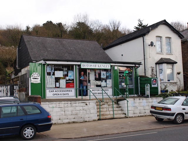
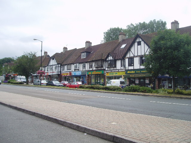
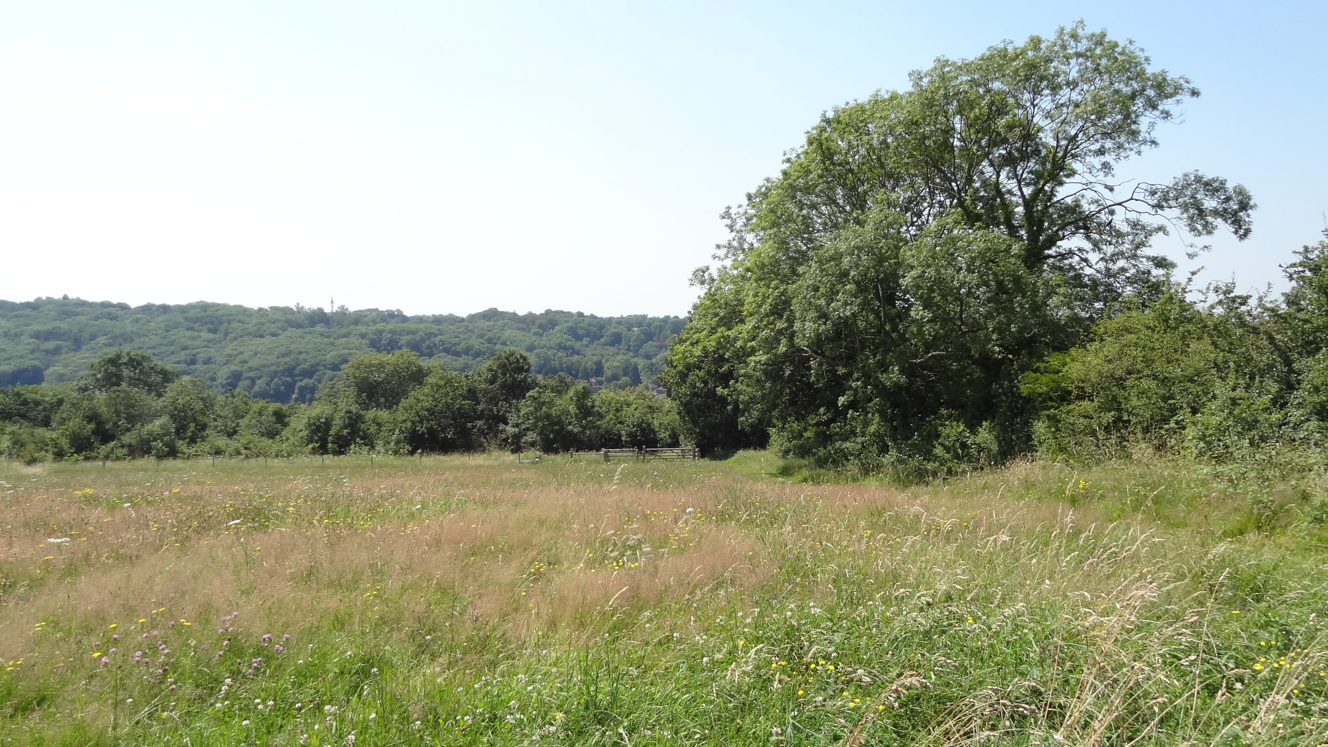
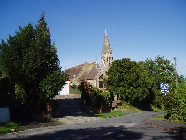
Ansley Berry Shaw Images
Images are sourced within 2km of 51.323509/-0.076765012 or Grid Reference TQ3460. Thanks to Geograph Open Source API. All images are credited.


Ansley Berry Shaw is located at Grid Ref: TQ3460 (Lat: 51.323509, Lng: -0.076765012)
Unitary Authority: Croydon
Police Authority: Metropolitan
What 3 Words
///twins.such.pose. Near Whyteleafe, Surrey
Nearby Locations
Related Wikis

Riddlesdown Collegiate
Riddlesdown Collegiate (formerly Riddlesdown High School) is a secondary school with academy status located in the Riddlesdown area of the London Borough...

Warlingham School
Warlingham School is a large secondary school with pupils aged 11–16, and also has a sixth form for 16- to 18-year-olds. The school is located in the village...
Hamsey Green
Hamsey Green is an area of Sanderstead in the Tandridge District of Surrey and partly in the London Borough of Croydon of Greater London, England. To the...
Riddlesdown Common
Riddlesdown Common or Riddlesdown is a 43 hectare area of green space in Kenley, towards the northern end of the North Downs in the London Borough of Croydon...

London Borough of Croydon
The London Borough of Croydon () is a London borough in south London, part of Outer London. It covers an area of 87 km2 (33.6 sq mi). It is the southernmost...
Kenley
Kenley is a residential suburb within the London Borough of Croydon. It is located 13 miles (21 km) south of Charing Cross and within the southern boundary...

Sanderstead
Sanderstead is a village and medieval-founded church parish at the southern end of Croydon in south London, England, within the London Borough of Croydon...
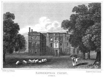
Sanderstead Court
Sanderstead Court was a country house in Sanderstead, Surrey, England, dating from at least the 17th century. It was destroyed by fire in 1944, and its...
Related Videos

Sunday walking | SELSDON WOODLANDS | Picnic | NO TALKING!
We are nearly 2 weeks into isolation, the sun is out and the birds are chirping their morning chorus. Katie and I decided to explore ...

Warlingham Circular walk | 🇬🇧 Hiking in uk for beginners
Bluebell woods, fields, valleys and nature reserves on the London/Surrey border. Main Walk: 21¼ km (13.2 miles). Five hours ...
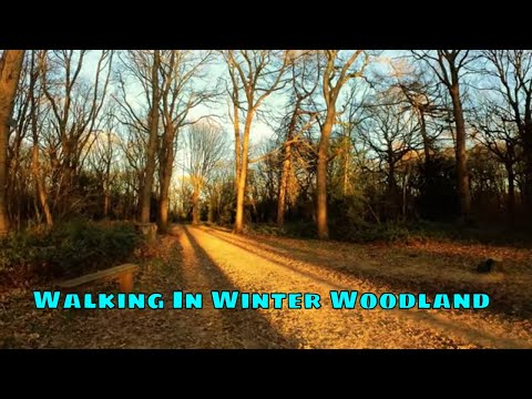
Walking In Winter Woodland #trees #relax #asmrvideo #mindfulness #hdvideo
Walking In Winter Woodland - Escape to some woodland with us and enjoy this relaxing walk through trees and autumnal colors ...
Nearby Amenities
Located within 500m of 51.323509,-0.076765012Have you been to Ansley Berry Shaw?
Leave your review of Ansley Berry Shaw below (or comments, questions and feedback).