Home Wood

Wood, Forest in Hertfordshire Broxbourne

England

Home Wood

Jones Road This appears to be mapped as a public road up to a point some way behind the camera, when it becomes a public bridleway and private untarred road. However, it is gated at the end of this straight, the gates being open in this view. It is used as part of the 'Chain Walk' - a long distance walking route.
The road was mapped with the odd name of St. Jones's Road up to the 1930s.
Jones Road Credit: Robin Webster

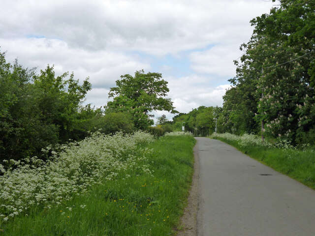
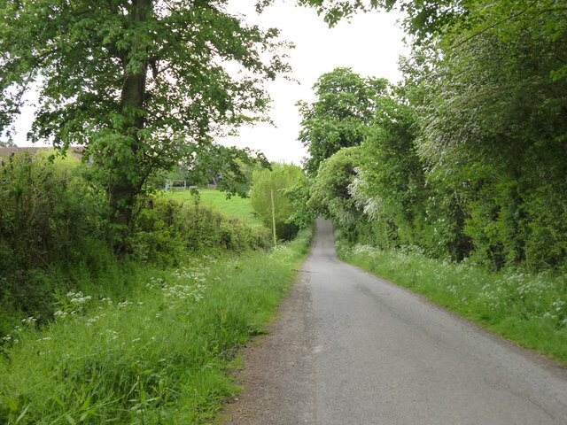
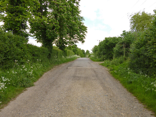
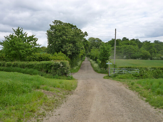
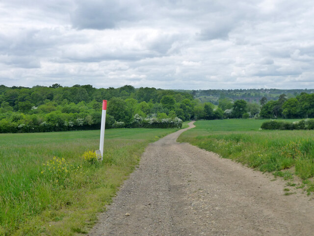
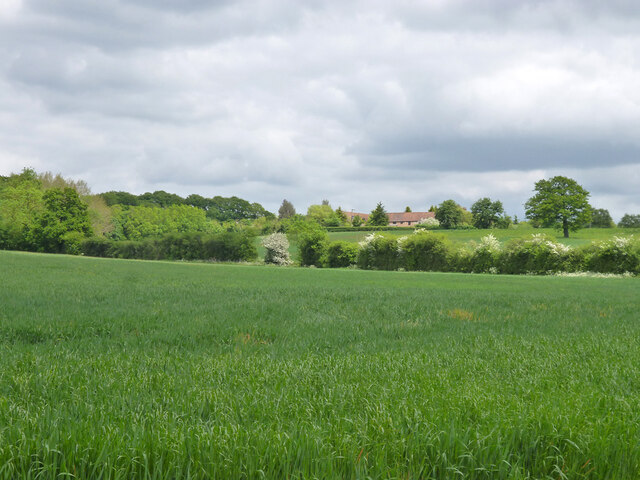
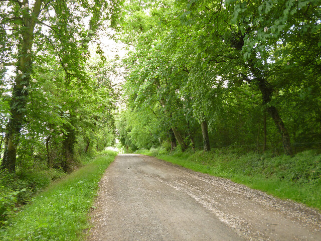
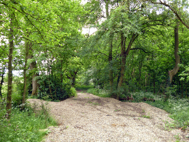
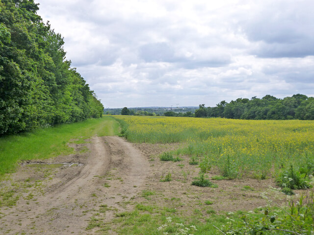
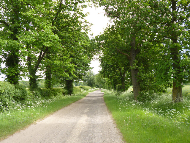
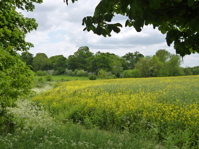
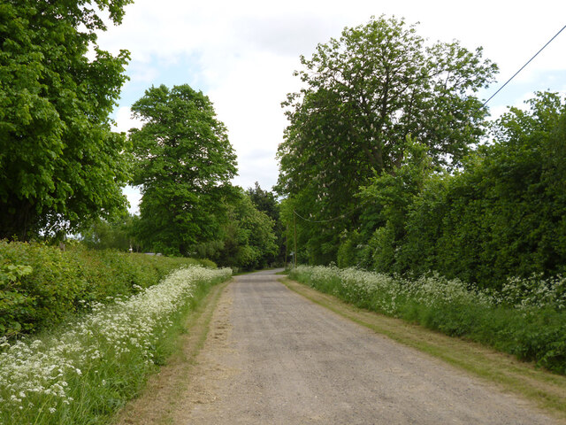
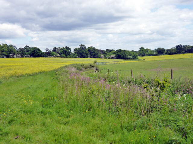
Home Wood is a picturesque forest located in Hertfordshire, England. Covering an area of approximately 100 acres, this enchanting woodland is a haven for nature lovers and outdoor enthusiasts alike. Nestled amidst rolling green hills and surrounded by tranquil countryside, Home Wood offers a peaceful retreat from the bustling city life.

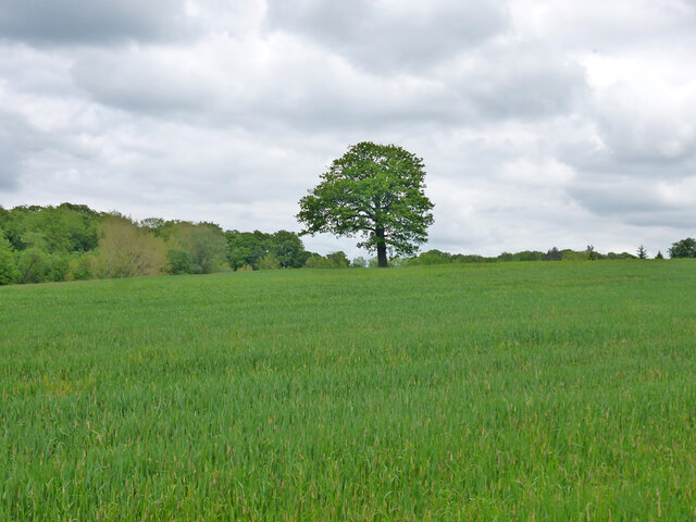
The forest is predominantly composed of an array of broadleaf trees, including oak, beech, and birch, which form a dense canopy overhead. These majestic trees provide a cool shade during the summer months and create a vibrant tapestry of colors in autumn.

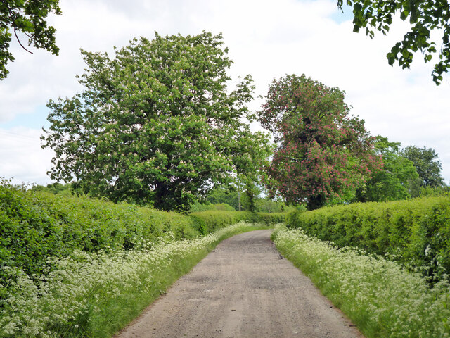
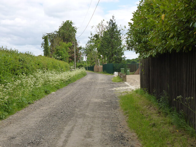
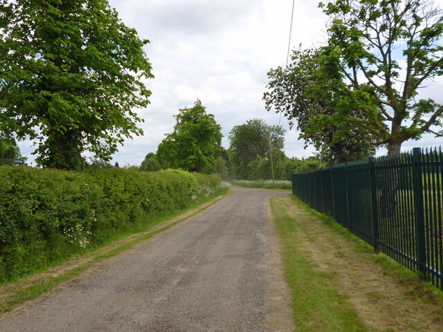
Walking through Home Wood, visitors can explore a network of well-maintained trails that wind their way through the forest. These trails offer opportunities for leisurely strolls, invigorating hikes, or even a scenic jog. Along the way, one may encounter various wildlife species such as deer, foxes, and a diverse range of birdlife.

Home Wood is also home to a diverse range of flora, with an abundance of wildflowers and ferns carpeting the forest floor. This attracts a myriad of butterflies and insects, adding to the natural beauty of the woodland.

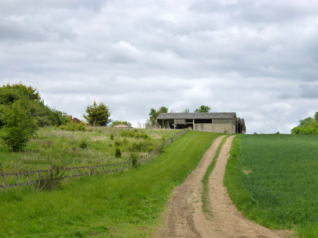
For those seeking a more immersive experience, Home Wood offers designated camping areas where visitors can spend the night under the stars. The forest also has picnic spots, making it an ideal destination for family outings or a peaceful lunch in nature.

With its tranquil ambiance, diverse wildlife, and stunning natural beauty, Home Wood is truly a gem in Hertfordshire, offering an escape to nature for all who visit.

If you have any feedback on the listing, please let us know in the comments section below.

Home Wood Images

Images are sourced within 2km of 51.693489/-0.072826697 or Grid Reference TL3301. Thanks to Geograph Open Source API. All images are credited.

Jones Road This appears to be mapped as a public road up to a point some way behind the camera, when it becomes a public bridleway and private untarred road. However, it is gated at the end of this straight, the gates being open in this view. It is used as part of the 'Chain Walk' - a long distance walking route.
The road was mapped with the odd name of St. Jones's Road up to the 1930s.
Jones Road
This appears to be mapped as a public road up to a point some way behind the camera, when it becomes a public bridleway and private untarred road. However, it is gated at the end of this straight, the gates being open in this view. It is used as part of the 'Chain Walk' - a long distance walking route. The road was mapped with the odd name of St. Jones's Road up to the 1930s.
Burnt Farm Ride A private tarmac road as far as Burnt Farm, thereafter a well surfaced track. Public bridleway Cheshunt 17.
Burnt Farm Ride
A private tarmac road as far as Burnt Farm, thereafter a well surfaced track. Public bridleway Cheshunt 17.
Burnt Farm Ride The surface changes here, tarmac northwards, just 'mac' to the south.  Public bridleway Cheshunt 17.
Burnt Farm Ride
The surface changes here, tarmac northwards, just 'mac' to the south. Public bridleway Cheshunt 17.
Crossways south of Burnt Farm Burnt Farm Ride runs left and right, bridleway Cheshunt 17 to the left, bridleway Cheshunt 70 to the right. Straight on beyond the junction is bridleway Cheshunt 73. Viewed from footpath Cheshunt 59.
Crossways south of Burnt Farm
Burnt Farm Ride runs left and right, bridleway Cheshunt 17 to the left, bridleway Cheshunt 70 to the right. Straight on beyond the junction is bridleway Cheshunt 73. Viewed from footpath Cheshunt 59.
Farm track crosses gas pipeline The track is public footpath Cheshunt 59.
Farm track crosses gas pipeline
The track is public footpath Cheshunt 59.
Tree in field west of Burnt Farm
View over fields towards Burnt Farm
Barns at Burnt Farm
Barns at Burnt Farm
Bridleway Cheshunt 73 heads east A wood called Cattlins is on the right.
Bridleway Cheshunt 73 heads east
A wood called Cattlins is on the right.
Track into a wood called Cattlins At the eastern edge of the wood.
Track into a wood called Cattlins
At the eastern edge of the wood.
Field edge track by Dysons Osiers A wood called Cattlins is over to the right.
Field edge track by Dysons Osiers
A wood called Cattlins is over to the right.
Oldpark Ride Bridleway Cheshunt 73 towards Theobalds Manor.
Oldpark Ride
Bridleway Cheshunt 73 towards Theobalds Manor.
Farmland near Theobalds Manor
Oldpark Ride Bridleway Cheshunt 73 towards Theobalds Manor.
Oldpark Ride
Bridleway Cheshunt 73 towards Theobalds Manor.
Oldpark Ride by Spring Farm Bridleway Cheshunt 73 towards Theobalds Manor.
Oldpark Ride by Spring Farm
Bridleway Cheshunt 73 towards Theobalds Manor.
Oldpark Ride Bridleway Cheshunt 73 towards Theobalds Manor.
Oldpark Ride
Bridleway Cheshunt 73 towards Theobalds Manor.
Oldpark Ride Bridleway Cheshunt 73 towards Theobalds Manor.
Oldpark Ride
Bridleway Cheshunt 73 towards Theobalds Manor.
Drain near Theobalds Manor Heading down to join Theobalds Brook.
Drain near Theobalds Manor
Heading down to join Theobalds Brook.
Show me another place!

Home Wood is located at Grid Ref: TL3301 (Lat: 51.693489, Lng: -0.072826697)

Administrative County: Hertfordshire

District: Broxbourne

Police Authority: Hertfordshire

What 3 Words

///branch.nurses.harsh. Near Waltham Cross, Hertfordshire

Nearby Locations

Home Wood

Related Wikis

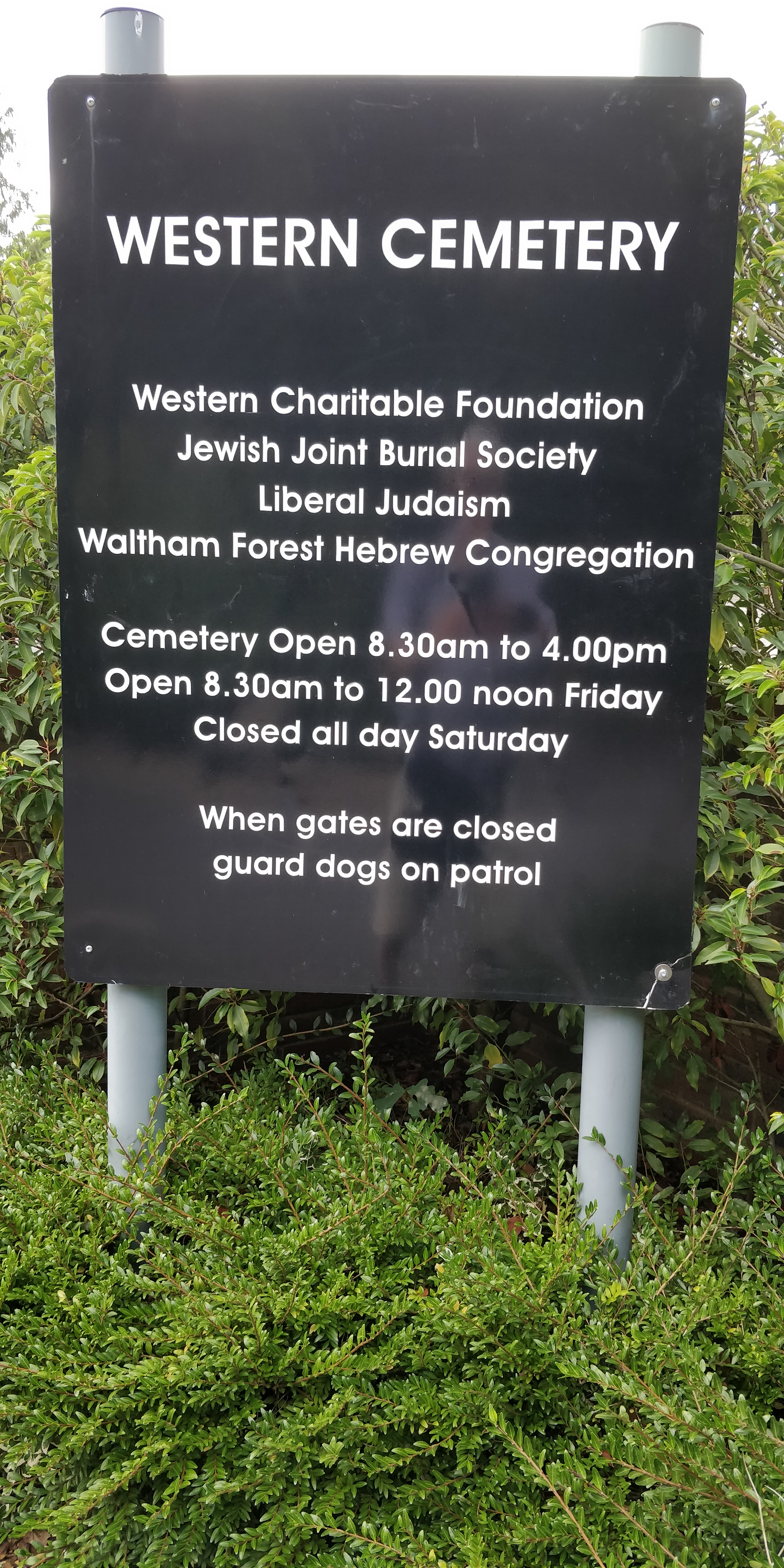
Western Cemetery (Cheshunt)

Western Cemetery is a Jewish cemetery at Bulls Cross Ride in Cheshunt in the Borough of Broxbourne, Hertfordshire EN7 5HT, England. It was established...

St Mary's Church of England High School

St Mary's Church of England High School is a mixed secondary school and sixth form located in Cheshunt, Hertfordshire, England. It is a Church of England...

Theobalds Brook

Theobalds Brook is a minor tributary of the River Lea which rises in the hills south of Goffs Oak in Hertfordshire, England.

Theobalds House

Theobalds House (also known as Theobalds Palace) in the parish of Cheshunt in the English county of Hertfordshire, north of London, was a significant stately...

F.C. Broxbourne Borough

Football Club Broxbourne Borough was a football club based in Broxbourne, Hertfordshire, England. They played at Goffs Lane in Cheshunt. == History... ==

Goffs Academy

Goffs Academy is a selective secondary school and sixth form with academy status located in Cheshunt, Hertfordshire, England with around 1,300 students...

Capel Manor College

Capel Manor College is a special environmental college located in Enfield, London. The College has five campuses across the capital, Crystal Palace Park...

Bulls Cross

Bulls Cross is a road and hamlet in Enfield, England, on the outskirts of north London, forming part of the Metropolitan Green Belt. Although it now lies...

Nearby Amenities

Located within 500m of 51.693489,-0.072826697
Created By: YahooApplet 1.0
Lat/Long: 51.691837/-0.070873
Created By: YahooApplet 1.0
Lat/Long: 51.6932203/-0.0704933
Created By: YahooApplet 1.0
Lat/Long: 51.6942942/-0.0700642
Created By: YahooApplet 1.0
Lat/Long: 51.6947591/-0.0693459
Created By: YahooApplet 1.0
Lat/Long: 51.6953975/-0.0692329
Created By: YahooApplet 1.0
Lat/Long: 51.6953513/-0.0678214
Created By: YahooApplet 1.0
Lat/Long: 51.6952981/-0.0667485
Power: pole
Lat/Long: 51.6969164/-0.0771918
Power: pole
Lat/Long: 51.6952994/-0.0696328
Power: pole
Lat/Long: 51.6959555/-0.0726857
Power: pole
Lat/Long: 51.6963179/-0.074354
Power: pole
Lat/Long: 51.6966903/-0.0761374
Power: pole
Lat/Long: 51.6947518/-0.0666615
Power: pole
Lat/Long: 51.6955897/-0.0709959
Power: pole
Lat/Long: 51.6949987/-0.0679889
Material: wood
Power: pole
Lat/Long: 51.692119/-0.0755849
Material: wood
Power: pole
Lat/Long: 51.691178/-0.0734874
Material: wood
Power: pole
Lat/Long: 51.6918563/-0.0749519
Material: wood
Power: pole
Lat/Long: 51.6921057/-0.0763788
Material: wood
Power: pole
Lat/Long: 51.6927509/-0.0770762
Material: wood
Power: pole
Lat/Long: 51.6915936/-0.0742921
Material: wood
Power: pole
Lat/Long: 51.6939479/-0.0790557
Material: wood
Power: pole
Lat/Long: 51.6932696/-0.0779828
Material: wood
Power: pole
Lat/Long: 51.6923917/-0.0762179
The data included in this document is from www.openstreetmap.org. The data is made available under ODbL.

Have you been to Home Wood?

Leave your review of Home Wood below (or comments, questions and feedback).