Wickham Wood

Wood, Forest in Sussex Mid Sussex

England

Wickham Wood

Lindfield Pond When the fountain was working.
Lindfield Pond Credit: Peter Jeffery

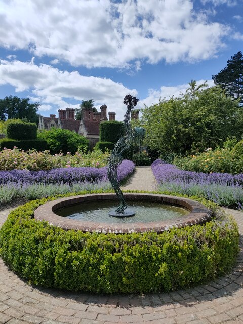
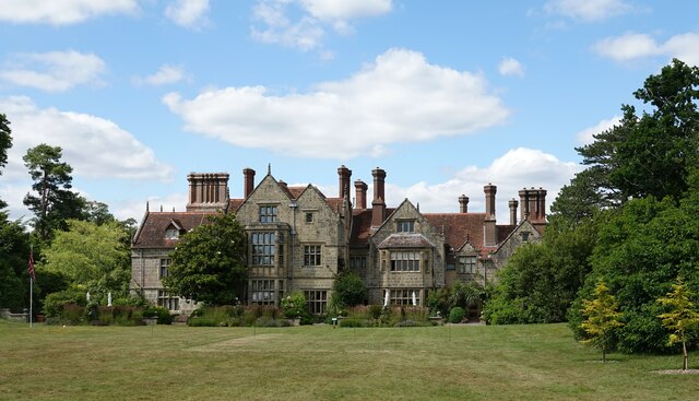
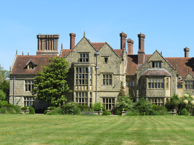
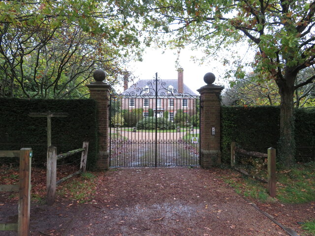
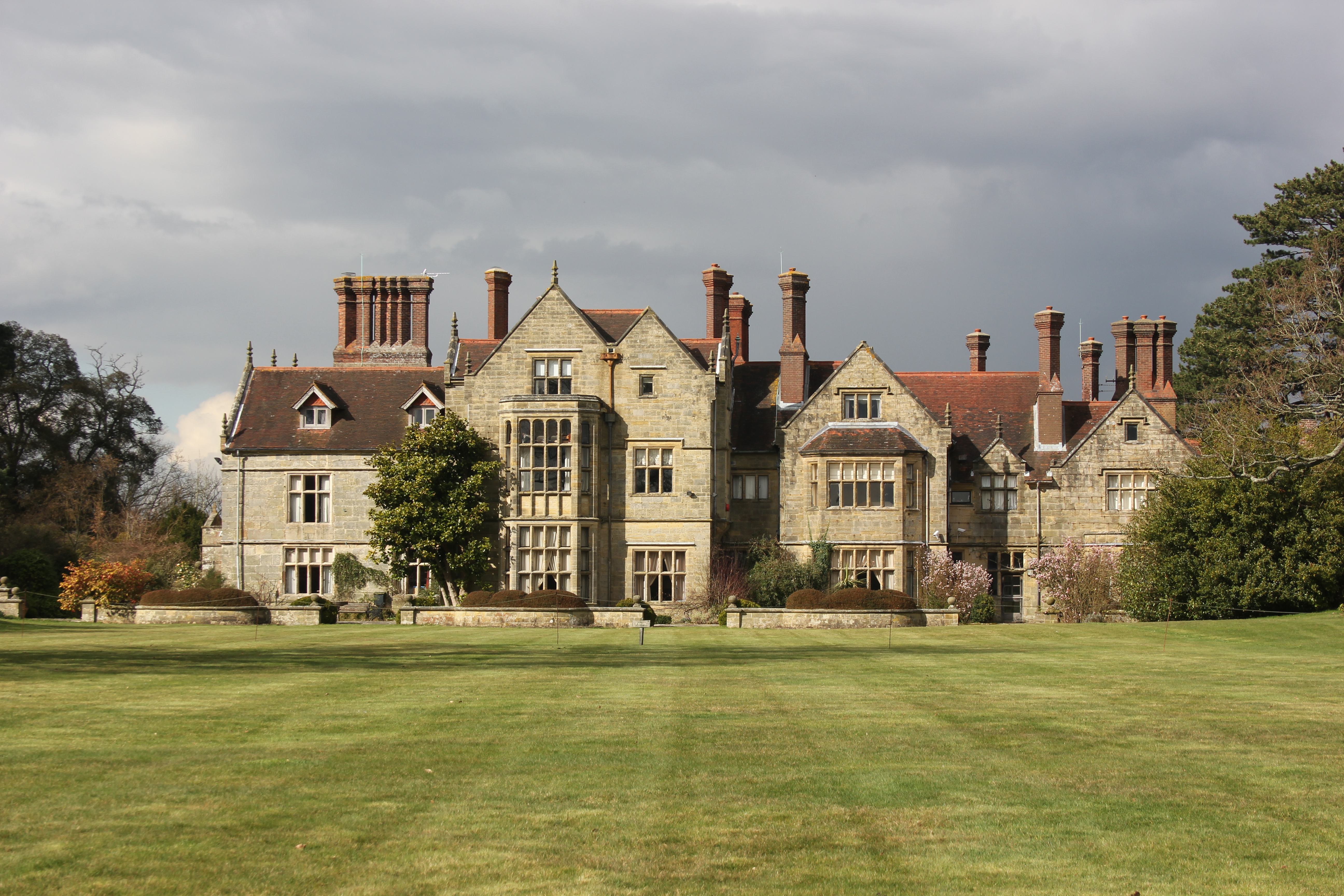
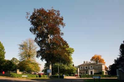
Wickham Wood, located in Sussex, England, is a charming and picturesque woodland area that spans across a vast expanse of approximately 500 acres. It is nestled in the heart of the South Downs National Park, making it a popular destination for nature enthusiasts and outdoor lovers alike.

This woodland is renowned for its rich biodiversity, with a diverse range of flora and fauna thriving within its boundaries. It is home to an array of native tree species, including oak, beech, and birch, which contribute to its verdant and serene atmosphere. The forest floor is adorned with a dense carpet of wildflowers, adding a vibrant burst of color during the spring and summer months.

Several walking trails wind their way through Wickham Wood, providing visitors with the opportunity to explore its hidden gems. These trails offer breathtaking views of the surrounding countryside and provide an immersive experience in nature. Along the way, hikers may encounter various wildlife species, such as deer, foxes, and a plethora of bird species, making it a haven for birdwatchers.

Wickham Wood is a designated Site of Special Scientific Interest (SSSI) due to its exceptional ecological importance. It plays a vital role in conservation efforts, providing a protected habitat for rare and endangered species. The management of the wood follows sustainable practices to ensure the preservation of its natural beauty and ecological balance.

Overall, Wickham Wood stands as a tranquil and enchanting destination, offering visitors a chance to escape the hustle and bustle of everyday life and immerse themselves in the beauty of nature.

If you have any feedback on the listing, please let us know in the comments section below.
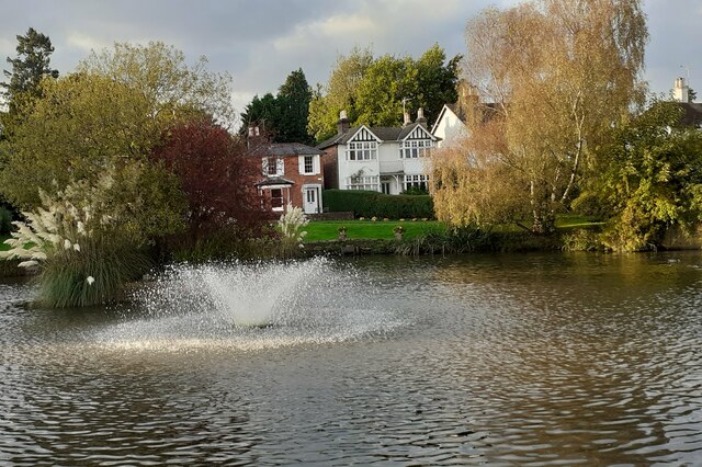
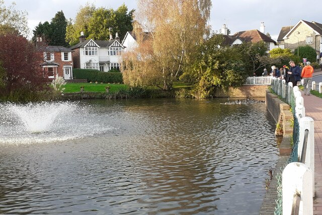
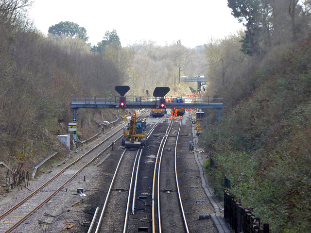
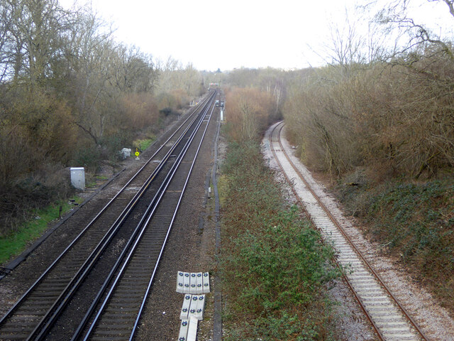
Wickham Wood Images

Images are sourced within 2km of 51.02402/-0.10136401 or Grid Reference TQ3326. Thanks to Geograph Open Source API. All images are credited.

Lindfield Pond When the fountain was working.
Lindfield Pond
When the fountain was working.
Lindfield Pond When the fountain was working, and people were feeding the ducks.
Lindfield Pond
When the fountain was working, and people were feeding the ducks.
The view southwest from the Ouse Valley Viaduct The River Ouse is running from left to right in this photo.
The view southwest from the Ouse Valley Viaduct
The River Ouse is running from left to right in this photo.
View SSE under the Ouse Valley Viaduct Also known as "Balcombe Viaduct". The nearest 30 metres or so of the viaduct is in this grid square. The remainder of the viaduct is in the square to the south.
View SSE under the Ouse Valley Viaduct
Also known as "Balcombe Viaduct". The nearest 30 metres or so of the viaduct is in this grid square. The remainder of the viaduct is in the square to the south.
View SE along the Ouse Valley Viaduct Also known as "Balcombe Viaduct". The nearest couple of arches are in this grid square. The rest of the viaduct lies in the square to the south.
View SE along the Ouse Valley Viaduct
Also known as "Balcombe Viaduct". The nearest couple of arches are in this grid square. The rest of the viaduct lies in the square to the south.
The Ouse Valley Viaduct - from Haywards Heath Road Also known as "Balcombe Viaduct".
The Ouse Valley Viaduct - from Haywards Heath Road
Also known as "Balcombe Viaduct".
Railway work at Copyhold Junction The Brighton Line was closed south of Three Bridges for over a week for work to be carried out at several sites. A move likely to severely test customers loyalty to rail travel - but these days the customers belong to someone else. Such are the wonders of fragmented privatisation.
Railway work at Copyhold Junction
The Brighton Line was closed south of Three Bridges for over a week for work to be carried out at several sites. A move likely to severely test customers loyalty to rail travel - but these days the customers belong to someone else. Such are the wonders of fragmented privatisation.
Railway north of Copyhold Bridge The Brighton Main line on the left, and the freight line to Ardingly stone terminal on the right. The latter was formerly double track to Horsted Keynes, and at closure of the through line, electrified.
Railway north of Copyhold Bridge
The Brighton Main line on the left, and the freight line to Ardingly stone terminal on the right. The latter was formerly double track to Horsted Keynes, and at closure of the through line, electrified.
Wharf Cottages
Wharf Cottages
Borde Hill Garden Described as 'One of the country's truly great gardens' by Country Life magazine, Borde Hill is more than just a beautiful & historic garden.
Borde Hill Garden is nestled in 200 acres of English Heritage listed Sussex parkland and woodland, with wonderful views across the Sussex Weald and the magnificent Ouse Valley. Borde Hill Garden is home to a nationally important collection of rare shrubs, champion trees and exotic plants<span class="nowrap"><a title="http://www.bordehill.co.uk/" rel="nofollow ugc noopener" href="http://www.bordehill.co.uk/">Link</a><img style="margin-left:2px;" alt="External link" title="External link - shift click to open in new window" src="https://s1.geograph.org.uk/img/external.png" width="10" height="10"/></span>
Borde Hill Garden
Described as 'One of the country's truly great gardens' by Country Life magazine, Borde Hill is more than just a beautiful & historic garden. Borde Hill Garden is nestled in 200 acres of English Heritage listed Sussex parkland and woodland, with wonderful views across the Sussex Weald and the magnificent Ouse Valley. Borde Hill Garden is home to a nationally important collection of rare shrubs, champion trees and exotic plantsLinkExternal link
Borde Hill Described as 'One of the country's truly great gardens' by Country Life magazine, Borde Hill is more than just a beautiful & historic garden.
Borde Hill Garden is nestled in 200 acres of English Heritage listed Sussex parkland and woodland, with wonderful views across the Sussex Weald and the magnificent Ouse Valley. Borde Hill Garden is home to a nationally important collection of rare shrubs, champion trees and exotic plants<span class="nowrap"><a title="http://www.bordehill.co.uk/" rel="nofollow ugc noopener" href="http://www.bordehill.co.uk/">Link</a><img style="margin-left:2px;" alt="External link" title="External link - shift click to open in new window" src="https://s1.geograph.org.uk/img/external.png" width="10" height="10"/></span>
Borde Hill
Described as 'One of the country's truly great gardens' by Country Life magazine, Borde Hill is more than just a beautiful & historic garden. Borde Hill Garden is nestled in 200 acres of English Heritage listed Sussex parkland and woodland, with wonderful views across the Sussex Weald and the magnificent Ouse Valley. Borde Hill Garden is home to a nationally important collection of rare shrubs, champion trees and exotic plantsLinkExternal link
Borde Hill Place A Tudor mansion with 19th century alterations, surrounded by fine gardens. The High Weald Trail goes past.
Borde Hill Place
A Tudor mansion with 19th century alterations, surrounded by fine gardens. The High Weald Trail goes past.
The gardens at Borde Hill The fountain is one feature of the lily pond.
The gardens at Borde Hill
The fountain is one feature of the lily pond.
Borde Hill gardens One of the Weald's finest gardens.
Borde Hill gardens
One of the Weald's finest gardens.
Driveway to Wickham Farm
Gated entrance to Sunte House
Rail-Head Treatment Train near Haywards Heath A rail-head treatment train, top-and-tailed with GBRf class 73 locomotives No. 73141 and No. 73136, heads north towards Wickham Lane bridge.
Rail-Head Treatment Train near Haywards Heath
A rail-head treatment train, top-and-tailed with GBRf class 73 locomotives No. 73141 and No. 73136, heads north towards Wickham Lane bridge.
College Rd
College Rd
Show me another place!

Wickham Wood is located at Grid Ref: TQ3326 (Lat: 51.02402, Lng: -0.10136401)

Administrative County: West Sussex

District: Mid Sussex

Police Authority: Sussex

What 3 Words

///initiated.exonerate.touched. Near South Nutfield, Surrey

Related Wikis

Borde Hill Garden

Borde Hill Garden is a garden located 1.5 miles (2.4 km) north of Haywards Heath, West Sussex in southern England. It is set in over 200 acres (80 ha)...

Ardingly railway station

Ardingly was a railway station which served the West Sussex village of Ardingly in England. It was opened on 3 September 1883 by the London, Brighton and...

Ouse Valley Railway

The Ouse Valley Railway was to have been part of the London, Brighton & South Coast Railway (LBSCR). It was authorised by an Act of Parliament in 1864...

Mid Sussex (UK Parliament constituency)

Mid Sussex is a constituency represented in the House of Commons of the UK Parliament from 2019 by Mims Davies, a Conservative. She is currently a minister...
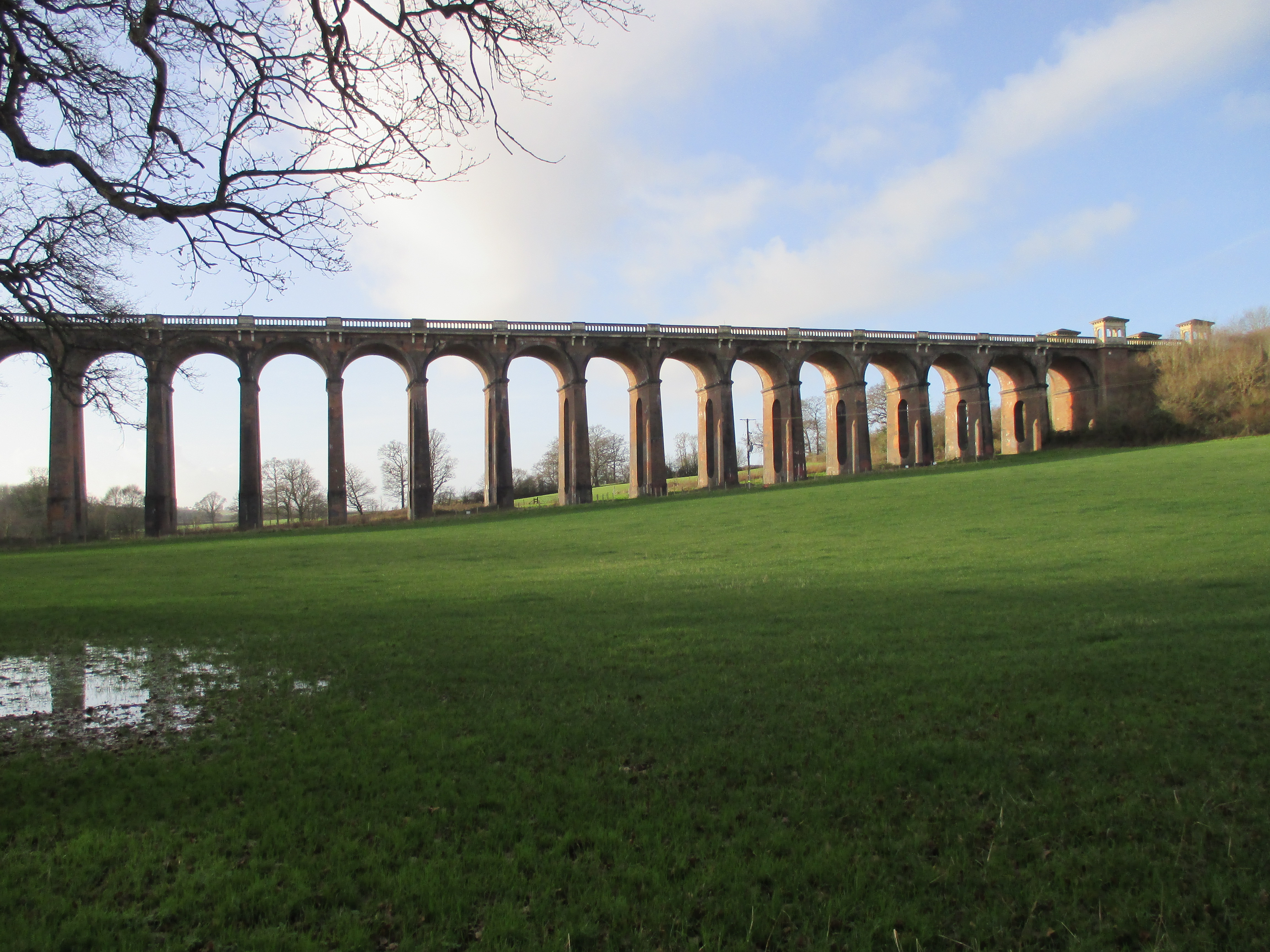
Ouse Valley Viaduct

The Ouse Valley Viaduct (or the Balcombe Viaduct) carries the London-Brighton Railway Line over the River Ouse in Sussex. It is located to the north of...

Tavistock and Summerhill School

Tavistock and Summerhill School, located in Lindfield just 4 minutes from the heart of Haywards Heath, West Sussex was an independent day mixed nursery...

Lindfield, West Sussex

Lindfield is a village and civil parish in the Mid Sussex District of West Sussex, England. The parish lies 1 mile (2 km) to the north-east of Haywards...

All Saints Church, Lindfield

All Saints Church, Lindfield is a Grade II* listed Church of England church in Lindfield, West Sussex, England, built in the Middle Ages in the Early English...

Nearby Amenities

Located within 500m of 51.02402,-0.10136401
Barrier: kissing_gate
Bicycle: yes
Foot: yes
Lat/Long: 51.0260378/-0.1007618
Barrier: kissing_gate
Bicycle: yes
Foot: yes
Lat/Long: 51.0282798/-0.1007467
Barrier: kissing_gate
Bicycle: yes
Foot: yes
Lat/Long: 51.0274225/-0.1007917
Barrier: kissing_gate
Bicycle: yes
Foot: yes
Lat/Long: 51.0261179/-0.1007151
Golf: pin
Lat/Long: 51.0224743/-0.0996493
Golf: pin
Lat/Long: 51.0220313/-0.0960146
Golf: pin
Lat/Long: 51.0240504/-0.0976745
Golf: pin
Lat/Long: 51.0233715/-0.0991892
Golf: pin
Lat/Long: 51.0205597/-0.1010013
Golf: pin
Lat/Long: 51.0220046/-0.1003076
Golf: pin
Lat/Long: 51.0238167/-0.0954908
Golf: pin
Lat/Long: 51.0229329/-0.09966
Hiking: yes
Information: guidepost
Tourism: information
Lat/Long: 51.0232946/-0.0996682
Hiking: yes
Information: guidepost
Tourism: information
Lat/Long: 51.0231301/-0.0988247
Hiking: yes
Information: guidepost
Tourism: information
Lat/Long: 51.0222646/-0.0976338
Hiking: yes
Information: guidepost
Tourism: information
Lat/Long: 51.0217505/-0.0957341
The data included in this document is from www.openstreetmap.org. The data is made available under ODbL.

Have you been to Wickham Wood?

Leave your review of Wickham Wood below (or comments, questions and feedback).