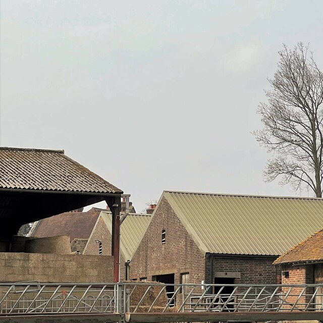
Alder Wood
Wood, Forest in Sussex Mid Sussex
England
Alder Wood
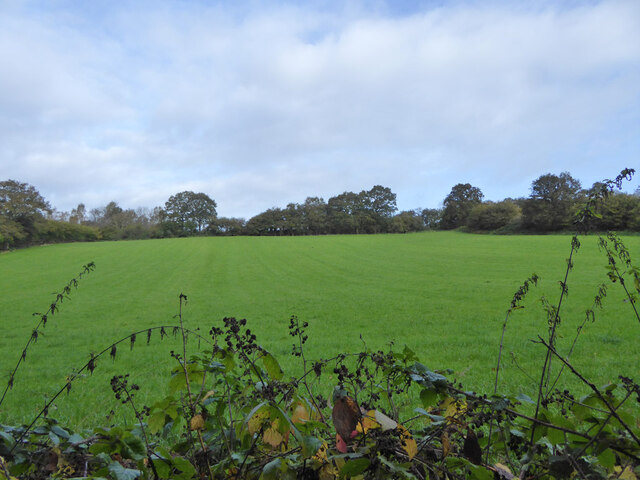
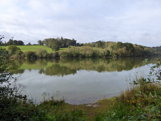
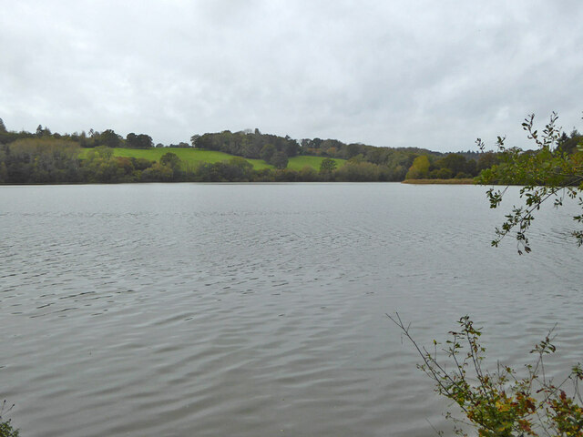
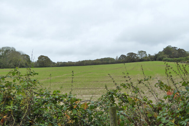
Alder Wood, located in Sussex, England, is a picturesque forested area renowned for its tranquil beauty and diverse flora and fauna. Spanning over a vast expanse of land, Alder Wood is a haven for nature enthusiasts and a popular destination for outdoor activities.
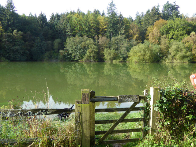
The wood is primarily composed of alder trees, which dominate the landscape with their striking appearance and unique characteristics. These deciduous trees are known for their conical shape and dark green leaves, which turn yellow in the autumn months, creating a breathtaking display of colors.
The diverse ecosystem within Alder Wood is home to a wide range of wildlife, including various bird species, mammals, and insects. Birdwatchers can spot species such as woodpeckers, owls, and jays, while animal enthusiasts may catch a glimpse of deer, foxes, and rabbits among the undergrowth.
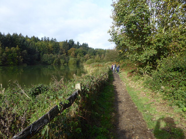
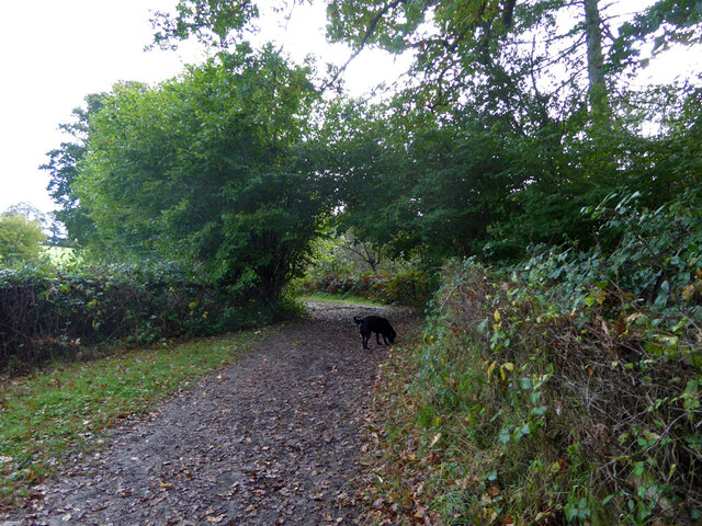
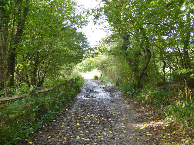
Walking trails crisscross the wood, providing visitors with the opportunity to explore its natural wonders at their own pace. The paths wind through dense vegetation, revealing hidden clearings, babbling brooks, and picturesque ponds along the way. These peaceful surroundings make Alder Wood an ideal location for hiking, picnicking, or simply immersing oneself in the serenity of nature.
Due to its accessibility and proximity to nearby towns and villages, Alder Wood attracts both locals and tourists alike. Its natural beauty, combined with the abundance of recreational activities, ensures that visitors can enjoy a memorable experience in the heart of Sussex's countryside. Whether seeking solace in nature or embarking on an adventure, Alder Wood offers a truly enchanting escape.
If you have any feedback on the listing, please let us know in the comments section below.
Alder Wood Images
Images are sourced within 2km of 51.039483/-0.10827787 or Grid Reference TQ3228. Thanks to Geograph Open Source API. All images are credited.


Alder Wood is located at Grid Ref: TQ3228 (Lat: 51.039483, Lng: -0.10827787)
Administrative County: West Sussex
District: Mid Sussex
Police Authority: Sussex
What 3 Words
///bike.rush.generated. Near Ardingly, West Sussex
Nearby Locations
Related Wikis

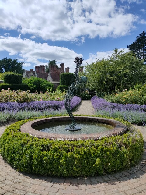
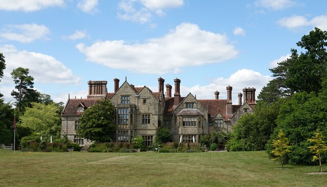
Balcombe Place
Balcombe Place is a Grade II* Listed Building, built in 1856 in West Sussex, with a south view across the Ouse Valley. It now forms part of The Balcombe...
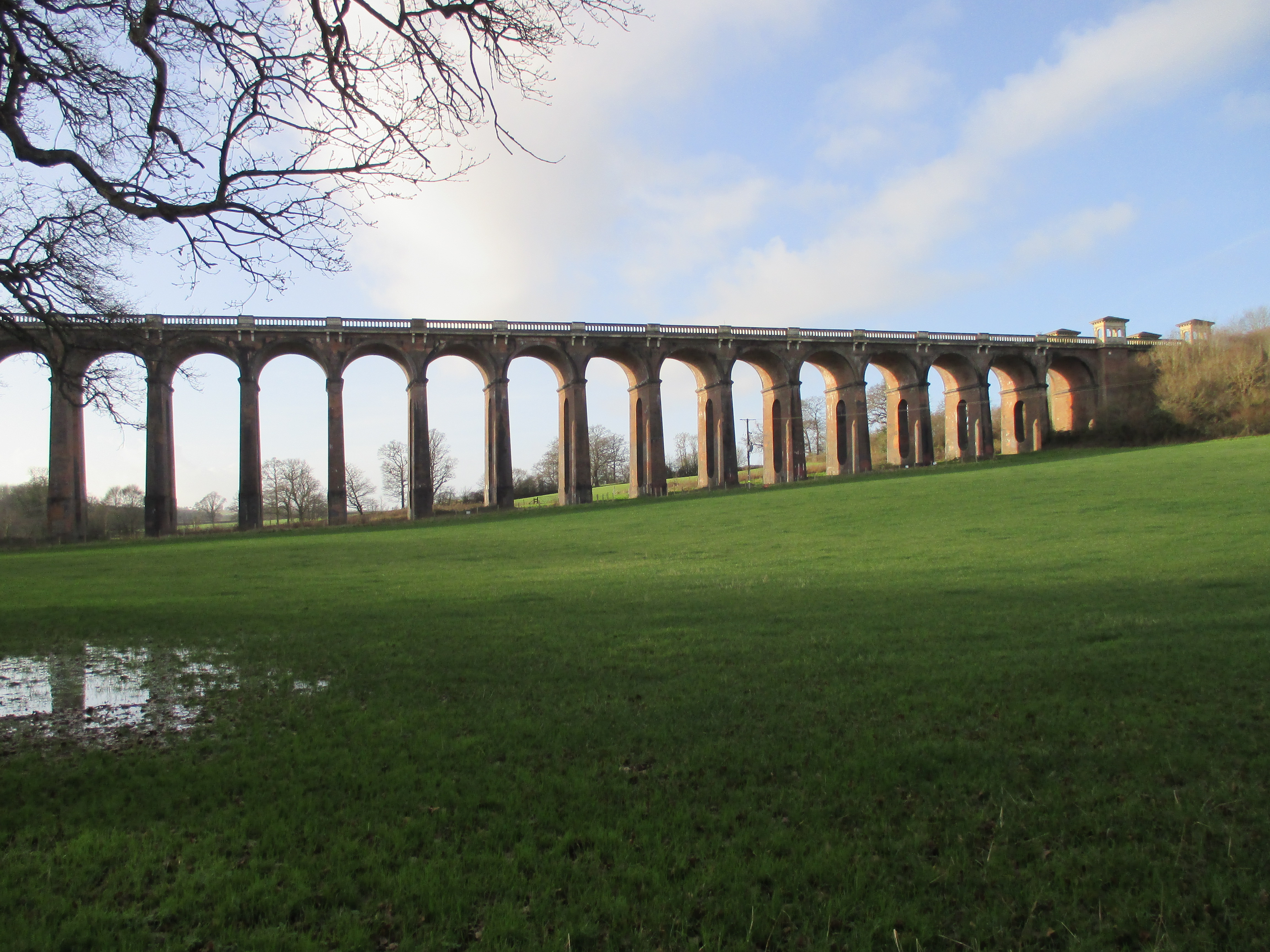
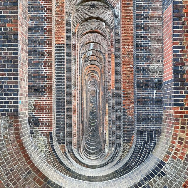
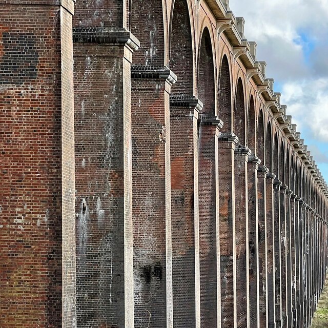
Ouse Valley Viaduct
The Ouse Valley Viaduct (or the Balcombe Viaduct) carries the London-Brighton Railway Line over the River Ouse in Sussex. It is located to the north of...
Ouse Valley Railway
The Ouse Valley Railway was to have been part of the London, Brighton & South Coast Railway (LBSCR). It was authorised by an Act of Parliament in 1864...

Mid Sussex (UK Parliament constituency)
Mid Sussex is a constituency represented in the House of Commons of the UK Parliament from 2019 by Mims Davies, a Conservative. She is currently a minister...
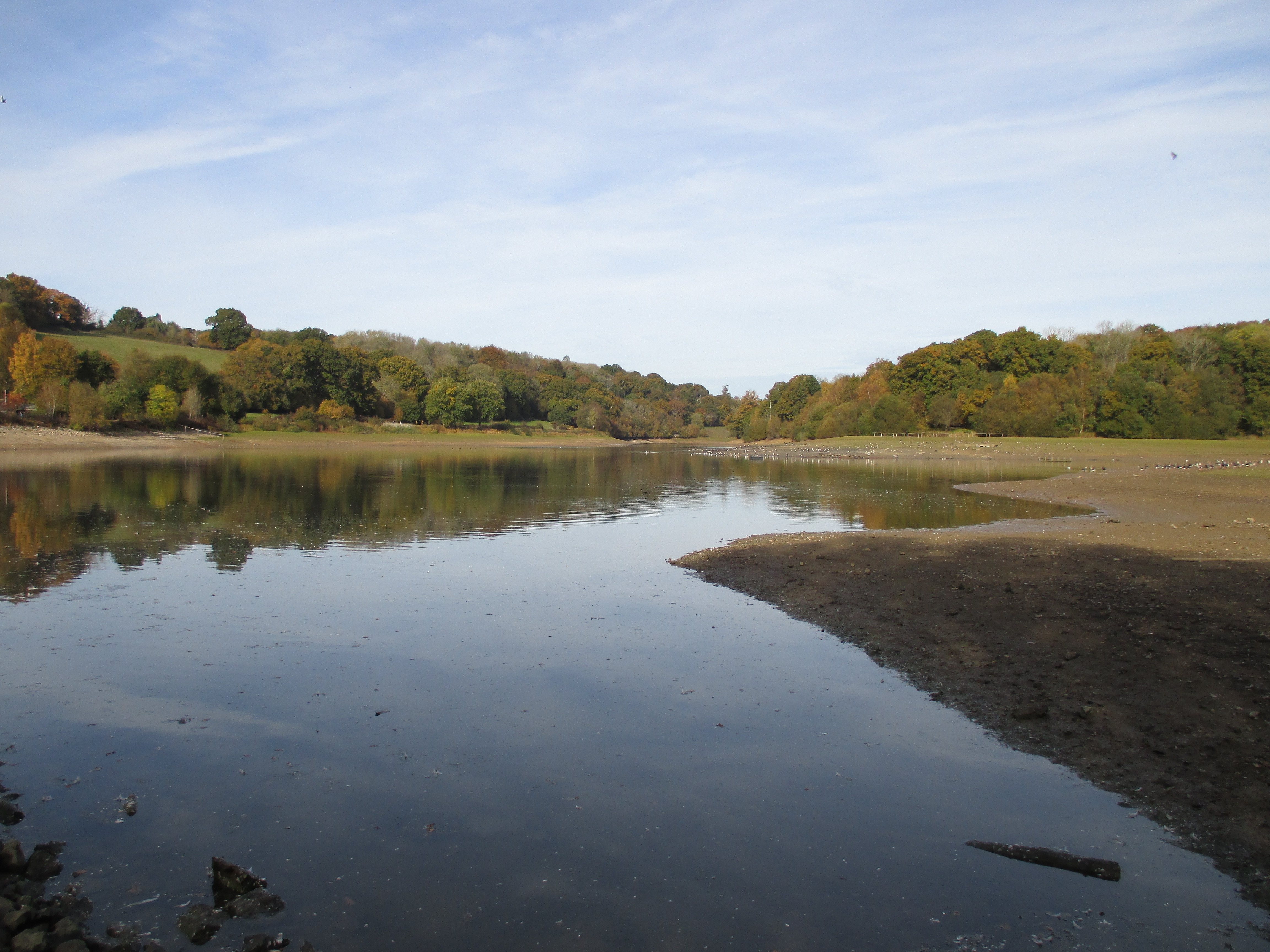
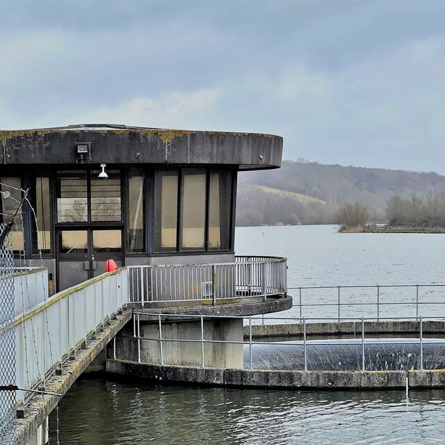
Ardingly Reservoir
Ardingly Reservoir is west of Ardingly in West Sussex. The southern end is a 74.5-hectare (184-acre) Local Nature Reserve owned and managed by South East...
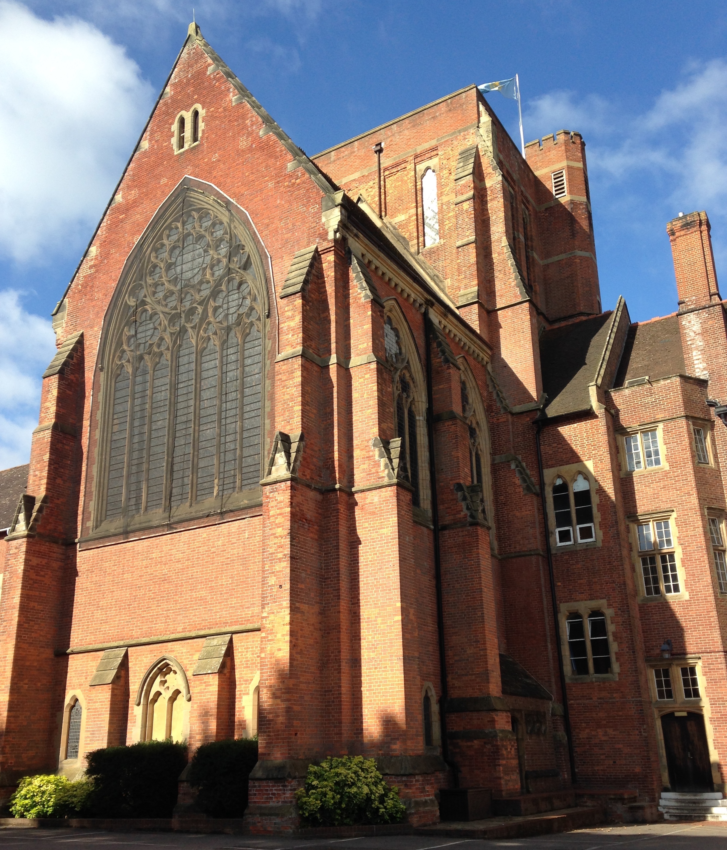
Ardingly College Chapel
The Chapel of S. Saviour is the chapel to Ardingly College in West Sussex, England, and is considered an example of Gothic Revival architecture. The chapel...

Ardingly College
Ardingly College () is a fee-charging boarding and day school in the English public school tradition located near Ardingly, West Sussex, England. The school...

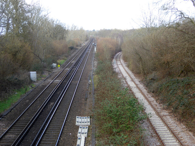
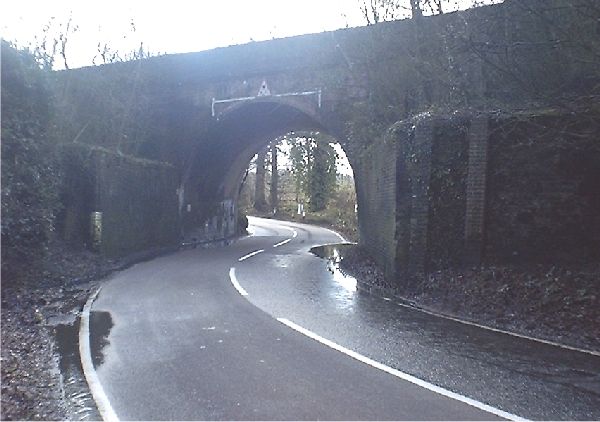
Ardingly railway station
Ardingly was a railway station which served the West Sussex village of Ardingly in England. It was opened on 3 September 1883 by the London, Brighton and...
Nearby Amenities
Located within 500m of 51.039483,-0.10827787Have you been to Alder Wood?
Leave your review of Alder Wood below (or comments, questions and feedback).