Foxholes Wood
Wood, Forest in Hertfordshire East Hertfordshire
England
Foxholes Wood
Foxholes Wood is a picturesque woodland located in Hertfordshire, England. Covering an area of approximately 45 hectares, it is a popular destination for nature lovers and outdoor enthusiasts. The wood is situated near the village of Hertingfordbury, just a short drive from the town of Hertford.
The woodland is characterized by its diverse range of trees, including oak, beech, hornbeam, and sweet chestnut, creating a rich and vibrant ecosystem. Visitors can explore the numerous well-maintained trails that wind through the wood, offering a tranquil escape from the hustle and bustle of everyday life.
Foxholes Wood is home to a variety of wildlife, making it a haven for nature enthusiasts. It provides a habitat for species such as deer, badgers, foxes, woodpeckers, and a multitude of bird species. Birdwatchers can spot species such as nuthatches, treecreepers, and tawny owls, among others.
The wood also boasts a diverse range of plant life, with bluebells carpeting the forest floor in the spring, creating a stunning display of color and beauty. Other wildflowers, ferns, and fungi can also be found throughout the wood, adding to its natural charm.
Visitors to Foxholes Wood can take advantage of the various amenities available, including picnic areas, benches, and information boards providing educational insight into the wood's flora and fauna. The wood is managed by a local conservation organization, ensuring that it is well-preserved and accessible to the public.
Overall, Foxholes Wood offers a peaceful and enchanting natural environment, making it an ideal destination for those seeking a slice of nature's beauty in the heart of Hertfordshire.
If you have any feedback on the listing, please let us know in the comments section below.
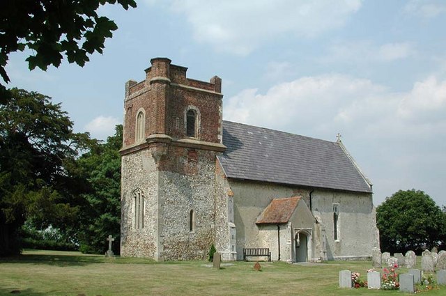
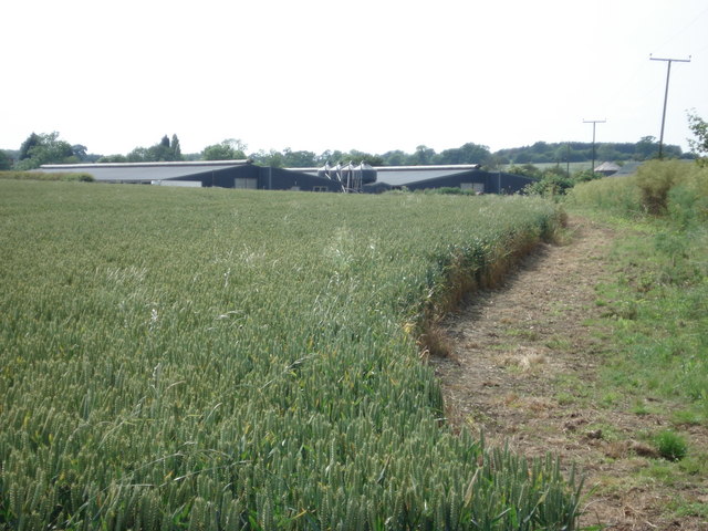
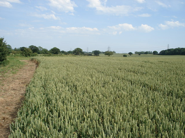
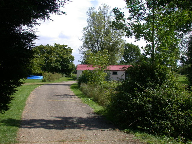
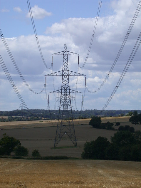
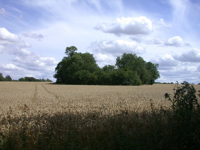
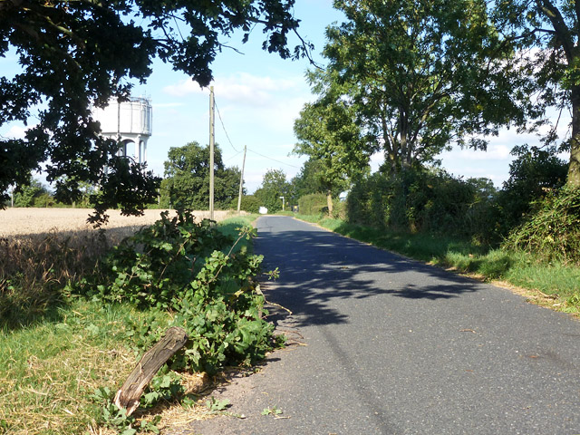
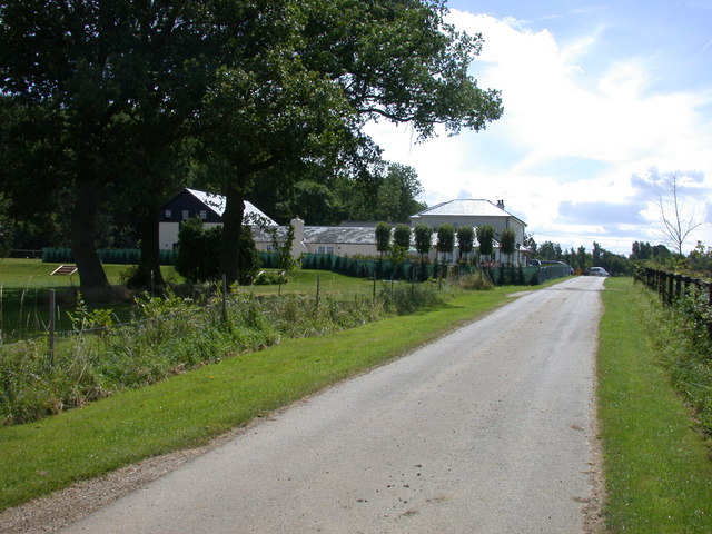
Foxholes Wood Images
Images are sourced within 2km of 51.959554/-0.069820054 or Grid Reference TL3230. Thanks to Geograph Open Source API. All images are credited.


Foxholes Wood is located at Grid Ref: TL3230 (Lat: 51.959554, Lng: -0.069820054)
Administrative County: Hertfordshire
District: East Hertfordshire
Police Authority: Hertfordshire
What 3 Words
///hound.explain.earl. Near Buntingford, Hertfordshire
Nearby Locations
Related Wikis
Broadfield, Hertfordshire
Broadfield is a hamlet and former civil parish, now in the parish of Cottered, in the East Hertfordshire district, in the county of Hertfordshire, England...
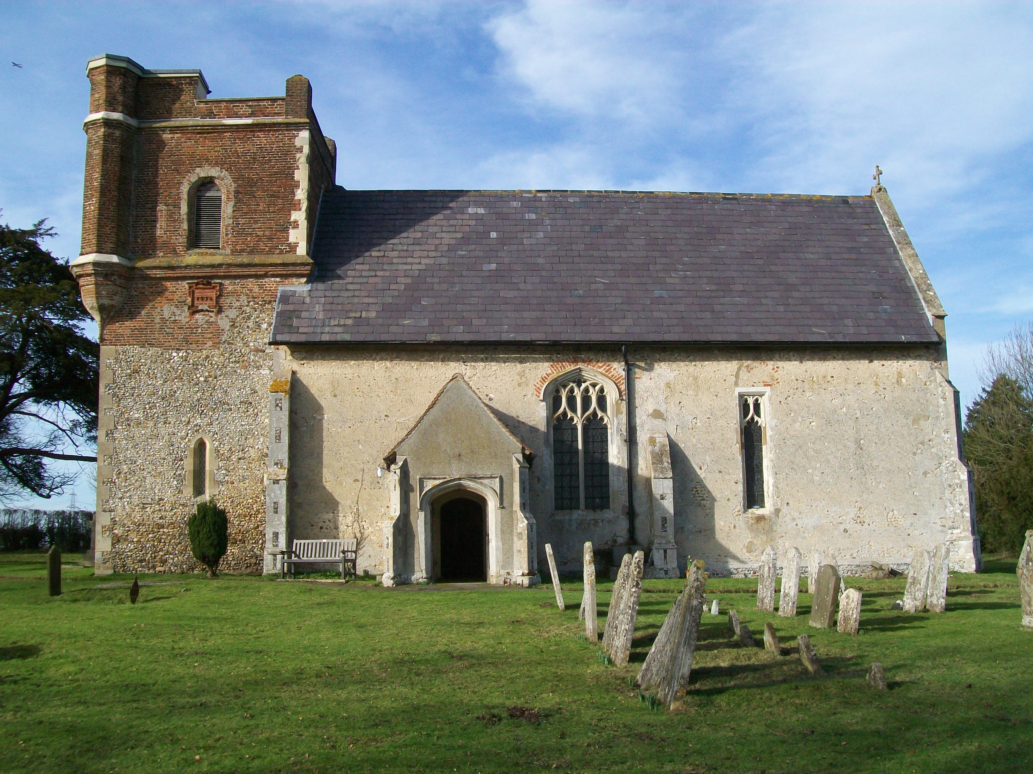
Throcking
Throcking is a village and former civil parish, now in the parish of Cottered, in the East Hertfordshire district, in the county of Hertfordshire, England...

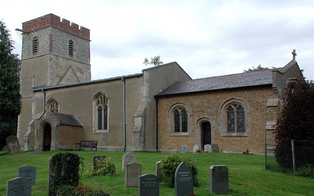
Cottered
Cottered is a village and civil parish 3 miles (4.8 km) west of Buntingford and 6 miles (9.7 km) east of Baldock in the East Hertfordshire District of...
Rushden, Hertfordshire
Rushden is a small village and civil parish which forms part of the grouped parish council of Rushden and Wallington in the North Hertfordshire district...

Freman College
Freman College is an upper school and sixth form with academy status in Buntingford, Hertfordshire, England. It was established as Ward Freman School in...

Blagrove Common
Blagrove Common is a 4.0-hectare (9.9-acre) Site of Special Scientific Interest in Green End near Sandon in Hertfordshire. It is managed by the Hertfordshire...
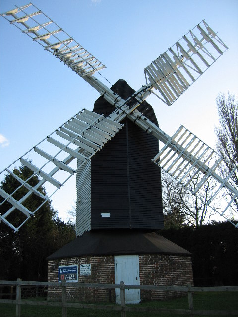
Cromer Windmill, Ardeley
Cromer Windmill, restored in four stages between 1967 and 1998, is a Grade II* listed post mill at Cromer, Ardeley, Hertfordshire, England. == History... ==

Chipping, Hertfordshire
Chipping is a hamlet in the civil parish of Buckland in the East Hertfordshire district, in the county of Hertfordshire, England. Situated along the A10...
Nearby Amenities
Located within 500m of 51.959554,-0.069820054Have you been to Foxholes Wood?
Leave your review of Foxholes Wood below (or comments, questions and feedback).