Ash Plantation
Wood, Forest in Lincolnshire East Lindsey
England
Ash Plantation
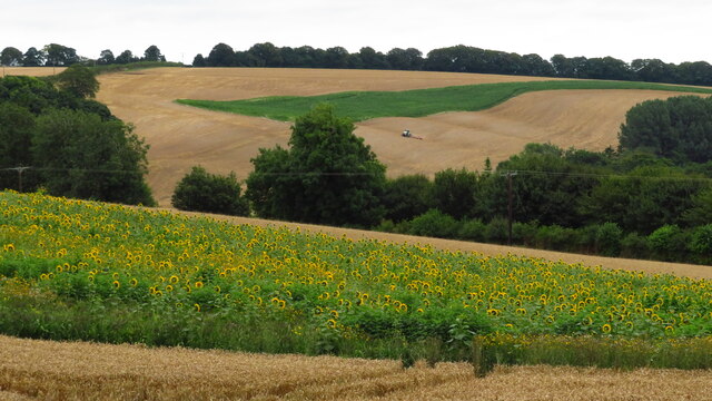
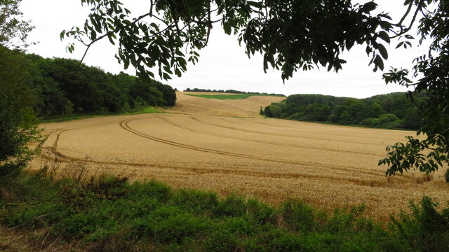
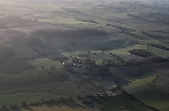
Ash Plantation is a stunning woodland area located in the county of Lincolnshire, England. Covering a vast area, the plantation is primarily composed of ash trees, which give it its name. It is a popular destination for nature enthusiasts and outdoor lovers looking for a serene and picturesque location to explore.
The plantation boasts a diverse range of flora and fauna, making it an important habitat for various species. The towering ash trees provide a dense canopy, creating a peaceful and tranquil atmosphere within the woodland. Underneath the canopy, a rich undergrowth of ferns, mosses, and wildflowers thrives, adding to the beauty of the landscape.
Visitors to Ash Plantation can enjoy a network of well-maintained walking trails that wind through the woodland. These trails offer stunning views of the surrounding countryside and provide an opportunity to observe the local wildlife. Birdwatchers, in particular, will be delighted by the abundance of avian species that call the plantation home, including woodpeckers, owls, and various songbirds.
The plantation is also home to a variety of mammals, such as squirrels, rabbits, and foxes, which can often be spotted scurrying through the underbrush. Additionally, the woodland supports a diverse range of insects, including butterflies and beetles, adding to the overall biodiversity of the area.
Ash Plantation is a cherished natural gem in Lincolnshire, offering visitors a chance to connect with nature and escape the hustle and bustle of everyday life. Whether it's a leisurely stroll through the woodland or a peaceful picnic surrounded by the beauty of the ash trees, this plantation is truly a haven for those seeking solace in the great outdoors.
If you have any feedback on the listing, please let us know in the comments section below.
Ash Plantation Images
Images are sourced within 2km of 53.284187/-0.012066924 or Grid Reference TF3278. Thanks to Geograph Open Source API. All images are credited.


Ash Plantation is located at Grid Ref: TF3278 (Lat: 53.284187, Lng: -0.012066924)
Administrative County: Lincolnshire
District: East Lindsey
Police Authority: Lincolnshire
What 3 Words
///committed.magma.cooking. Near Burwell, Lincolnshire
Nearby Locations
Related Wikis

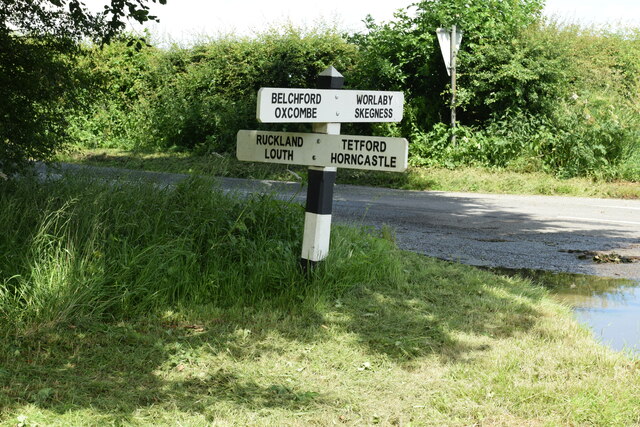
Ruckland
Ruckland is a village in the civil parish of Maidenwell, and about 6 miles (10 km) south from the town of Louth, in the East Lindsey district, in the county...

Farforth
Farforth or Farforth-cum-Maidenwell is a hamlet in the East Lindsey district of Lincolnshire, England. It is in the civil parish of Maidenwell, and approximately...
Maidenwell, Lincolnshire
Maidenwell is a village and civil parish in the East Lindsey district of Lincolnshire, England. The village is 6 miles (10 km) south from Louth. Maidenwell...

Oxcombe
Oxcombe is a small village in the civil parish of Maidenwell, in the East Lindsey district of Lincolnshire, England. It is situated 3 miles (5 km) west...

Louth and Horncastle (UK Parliament constituency)
Louth and Horncastle is a constituency in Lincolnshire represented in the House of Commons of the UK Parliament since 2015 by Victoria Atkins, a Conservative...

Bluestone Heath Road
The Bluestone Heath Road is an ancient route and ridgeway across the Lincolnshire Wolds in Lincolnshire, England. The surviving parts are somewhat fragmented...

Burwell, Lincolnshire
Burwell is a small village and Civil parish in the East Lindsey district of Lincolnshire, England. It is situated on the A16 road, and north from Spilsby...

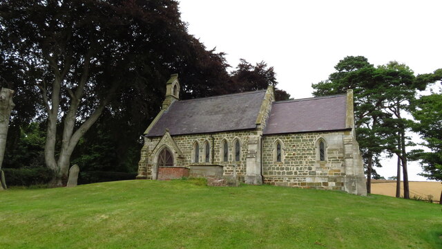
St Michael's Church, Burwell
St Michael's Church is a redundant Anglican church in the village of Burwell, Lincolnshire, England. It is recorded in the National Heritage List for...
Related Videos
St OLAVE RUCKLAND MAY 2021 | 30 ಅಡಿ ಉದ್ದದ ಚರ್ಚ್ | SMALLEST CHURCH | UK (ಇಂಗ್ಲೆಂಡ್ ) KANNADA VLOGS
vgavlogs #vgarandom , #vgakannada , #ಬ್ರಿಟನ್, #Halli, #ಹಳ್ಳಿ St Olave church is situated in the picturesque village ...
Nearby Amenities
Located within 500m of 53.284187,-0.012066924Have you been to Ash Plantation?
Leave your review of Ash Plantation below (or comments, questions and feedback).