Bashfords Wood

Wood, Forest in Sussex Mid Sussex

England

Bashfords Wood

Road in a rural area Taken from TQ322400 looking almost north shows the smaller of two roads in the square, which is very rural.
Road in a rural area Credit: SGBailey

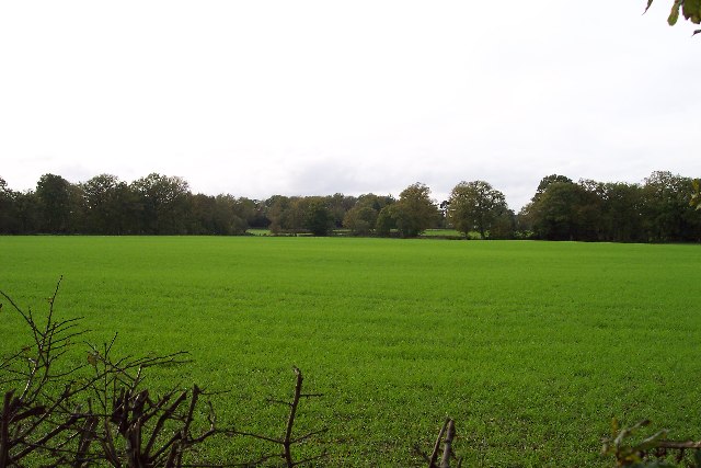
Bashfords Wood is a picturesque woodland located in Sussex, England. Covering an area of approximately 50 acres, it is a charming forest that offers a tranquil escape from the hustle and bustle of everyday life.

The wood is characterized by its diverse range of tree species, including oak, beech, and ash. These towering trees create a dense canopy that provides shade and shelter for a variety of wildlife. Visitors to Bashfords Wood can expect to encounter a rich array of flora and fauna, such as bluebells, wood anemones, and bird species including woodpeckers and song thrushes.

The wood is crisscrossed by a network of well-maintained footpaths and bridleways, making it easily accessible for walkers, cyclists, and horse riders. These paths offer visitors the opportunity to explore the wood and discover its hidden gems, including a small stream that meanders through the heart of the forest.

Bashfords Wood is a popular destination for nature enthusiasts and families alike. It provides an ideal setting for picnics, wildlife spotting, and peaceful walks amidst nature's beauty. The wood also offers educational opportunities, with interpretation boards dotted throughout, providing information about the various tree species and wildlife that can be found within the area.

Overall, Bashfords Wood is a serene and enchanting woodland that offers a delightful escape into nature. Its natural beauty, diverse wildlife, and well-maintained paths make it an idyllic location for outdoor enthusiasts seeking a peaceful retreat in the heart of Sussex.

If you have any feedback on the listing, please let us know in the comments section below.

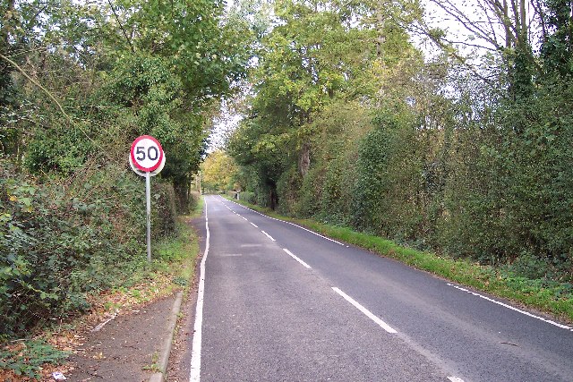
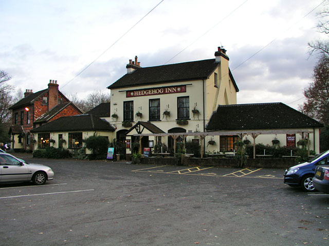
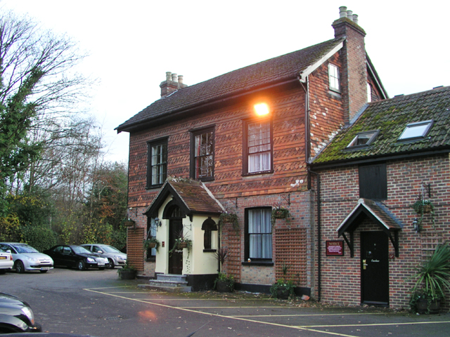
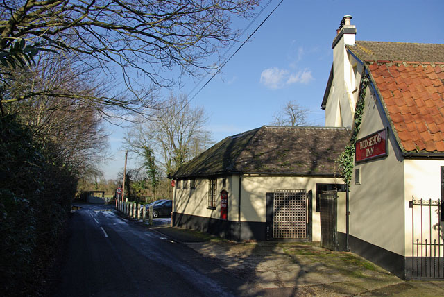
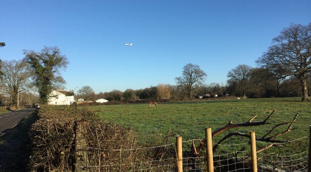
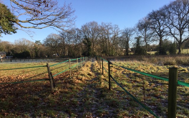
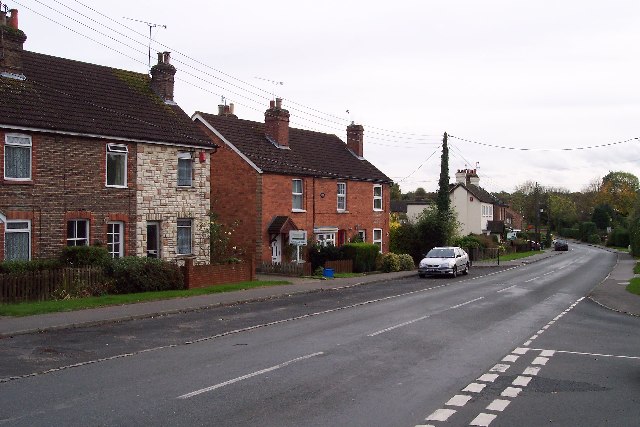
Bashfords Wood Images

Images are sourced within 2km of 51.13159/-0.10596002 or Grid Reference TQ3238. Thanks to Geograph Open Source API. All images are credited.

Road in a rural area Taken from TQ322400 looking almost north shows the smaller of two roads in the square, which is very rural.
Road in a rural area
Taken from TQ322400 looking almost north shows the smaller of two roads in the square, which is very rural.
A very rural square Taken from the b.o.a.t. at TQ327405 looking west. A very rural square.
A very rural square
Taken from the b.o.a.t. at TQ327405 looking west. A very rural square.
The Hedgehog Inn, Copthorne Formerly the Effingham Arms the Hedgehog is now a restaurant pub and has acquired the adjacent house (in the left of shot) to provide guest rooms. In a sense it's assumed the function of the old-fashioned inn. The exterior has hardly changed since the 1950s <span class="nowrap"><a title="http://www.francisfrith.com/search/england/west+sussex/copthorne/photos/copthorne_C422005.htm" rel="nofollow ugc noopener" href="http://www.francisfrith.com/search/england/west+sussex/copthorne/photos/copthorne_C422005.htm">Link</a><img style="margin-left:2px;" alt="External link" title="External link - shift click to open in new window" src="https://s1.geograph.org.uk/img/external.png" width="10" height="10"/></span>.

It's the occasional meeting place for local members of the Guinea Pig Club <span class="nowrap"><a title="http://en.wikipedia.org/wiki/Guinea_Pig_Club" rel="nofollow ugc noopener" href="http://en.wikipedia.org/wiki/Guinea_Pig_Club">Link</a><img style="margin-left:2px;" alt="External link" title="External link - shift click to open in new window" src="https://s1.geograph.org.uk/img/external.png" width="10" height="10"/></span> who will have witnessed the changes over the years.
The Hedgehog Inn, Copthorne
Formerly the Effingham Arms the Hedgehog is now a restaurant pub and has acquired the adjacent house (in the left of shot) to provide guest rooms. In a sense it's assumed the function of the old-fashioned inn. The exterior has hardly changed since the 1950s LinkExternal link. It's the occasional meeting place for local members of the Guinea Pig Club LinkExternal link who will have witnessed the changes over the years.
Accommodation for the Hedgehog House converted into guest rooms to provide accommodation for <a href="https://www.geograph.org.uk/photo/620618">TQ3340 : The Hedgehog Inn, Copthorne</a>. The structure built on to the right of the house looks new but may simply have been repointed as it appears on a photograph from the 1950s <span class="nowrap"><a title="http://www.francisfrith.com/search/england/west+sussex/copthorne/photos/copthorne_C422005.htm" rel="nofollow ugc noopener" href="http://www.francisfrith.com/search/england/west+sussex/copthorne/photos/copthorne_C422005.htm">Link</a><img style="margin-left:2px;" alt="External link" title="External link - shift click to open in new window" src="https://s1.geograph.org.uk/img/external.png" width="10" height="10"/></span>.
Accommodation for the Hedgehog
House converted into guest rooms to provide accommodation for TQ3340 : The Hedgehog Inn, Copthorne. The structure built on to the right of the house looks new but may simply have been repointed as it appears on a photograph from the 1950s LinkExternal link.
Garden Centre at Snowhill Some large gold fish in the pond.
Garden Centre at Snowhill
Some large gold fish in the pond.
Haskins Garden Centre at Snowhill
Entrance to Haskins garden centre Always busy as shown by the queue to get in at a quarter past three on a Sunday afternoon! The big black barn functions as a restaurant for shoppers. There is also a Hobbycraft tucked away behind the restaurant.
Entrance to Haskins garden centre
Always busy as shown by the queue to get in at a quarter past three on a Sunday afternoon! The big black barn functions as a restaurant for shoppers. There is also a Hobbycraft tucked away behind the restaurant.
New road layout ahead The sign on B2037 Effingham Road refers to the substitution of a roundabout for the staggered crossroads with the B2028. This is the third layout here - it started as a normal crossroads.
New road layout ahead
The sign on B2037 Effingham Road refers to the substitution of a roundabout for the staggered crossroads with the B2028. This is the third layout here - it started as a normal crossroads.
Hedgehog Inn - round the corner The inn is on the corner of  Effingham Road and Effingham Lane - the view is from the latter.
Hedgehog Inn - round the corner
The inn is on the corner of Effingham Road and Effingham Lane - the view is from the latter.
Haskins Snowhill Garden Centre
Copthorne Bank
Copthorne Bank
Judge's Corner Roundabout completed in 2009 at the junction of the B2028 West Park Road and the B2037 Snow Hill/Effingham Road.  Originally this was an ordinary crossroads, but around 1960 it was turned into a staggered junction in an attempt to improve traffic flow.  However, this proved inadequate, with significant queues building up in both directions on West Park Road.  Various options were considered in the 1990s (including even then the provision of a roundabout), but it was not until 2009 that the work was completed.

Although I have not found any evidence supporting this, I assume that the name Judge's Corner refers to John Henderson, who had a house built in adjacent Effingham Park in the 1870s and who among other things was a magistrate.
Judge's Corner
Roundabout completed in 2009 at the junction of the B2028 West Park Road and the B2037 Snow Hill/Effingham Road. Originally this was an ordinary crossroads, but around 1960 it was turned into a staggered junction in an attempt to improve traffic flow. However, this proved inadequate, with significant queues building up in both directions on West Park Road. Various options were considered in the 1990s (including even then the provision of a roundabout), but it was not until 2009 that the work was completed. Although I have not found any evidence supporting this, I assume that the name Judge's Corner refers to John Henderson, who had a house built in adjacent Effingham Park in the 1870s and who among other things was a magistrate.
Haskins Garden Centre Starting in the 1950s as a nursery owned by a Mr Crutchfield, the site was later expanded and developed into Snow Hill Garden Centre.  In 2003 it was acquired by a Dorset based company, Haskins, hence its current name.
Haskins Garden Centre
Starting in the 1950s as a nursery owned by a Mr Crutchfield, the site was later expanded and developed into Snow Hill Garden Centre. In 2003 it was acquired by a Dorset based company, Haskins, hence its current name.
Haskins Garden Centre Starting in the 1950s as a nursery owned by a Mr Crutchfield, specialising in Dahlias, the site was later expanded and developed into Snow Hill Garden Centre.  In 2003 it was acquired by a Dorset based company, Haskins, hence its current name.

This building houses the Centre's café/restaurant.
Haskins Garden Centre
Starting in the 1950s as a nursery owned by a Mr Crutchfield, specialising in Dahlias, the site was later expanded and developed into Snow Hill Garden Centre. In 2003 it was acquired by a Dorset based company, Haskins, hence its current name. This building houses the Centre's café/restaurant.
Field near Allingham Farm Field of horses near to Allingham Farm. Overhead a plane is on its approach to landing at Gatwick Airport.
Field near Allingham Farm
Field of horses near to Allingham Farm. Overhead a plane is on its approach to landing at Gatwick Airport.
Path between Electric Fences The Tandridge Border Path crosses a field between electric fences.
Path between Electric Fences
The Tandridge Border Path crosses a field between electric fences.
Show me another place!

Bashfords Wood is located at Grid Ref: TQ3238 (Lat: 51.13159, Lng: -0.10596002)

Administrative County: West Sussex

District: Mid Sussex

Police Authority: Sussex

What 3 Words

///power.only.visa. Near Copthorne, West Sussex

Related Wikis

Copthorne, West Sussex

Copthorne is a village in the Mid Sussex district of West Sussex, England. It lies close to Gatwick Airport, 25.5 miles (41 km) south of London, 21.5 miles...

Rowfant railway station

Rowfant was a railway station on the Three Bridges to Tunbridge Wells Central Line in the parish of Worth, West Sussex. The line closed in 1967, a casualty...

Crawley Down Monastery

The Monastery of the Holy Trinity, Crawley Down is an Anglican monastery located at Crawley Down in West Sussex, England. The monastery belongs to the...

Crawley Down

Crawley Down is a village in the Mid Sussex district of West Sussex, England. There is one church, one school, and a number of social groups. It lies...

Crawley Down Gatwick F.C.

Crawley Down Gatwick Football Club is a football club based in Crawley Down, West Sussex, England. They are currently members of the Southern Combination...

Worth Way

The Worth Way is a 7-mile (11 km) footpath and bridleway linking the West Sussex towns of Crawley and East Grinstead via the village of Crawley Down. Mostly...

Grange Road railway station

Grange Road was a railway station on the Three Bridges to Tunbridge Wells Central Line. The station opened in 1860 and was rebuilt on an enlarged scale...

A264 road

The A264 is an east–west road in southern England that runs from Pembury in west Kent to Five Oaks in West Sussex. == History == There have been a number...

Nearby Amenities

Located within 500m of 51.13159,-0.10596002
Power: tower
Lat/Long: 51.127676/-0.103561
Copthorne Common
Created By: Potlatch 0.10f
Leisure: common
Source: npe
Lat/Long: 51.134668/-0.1056986
The data included in this document is from www.openstreetmap.org. The data is made available under ODbL.

Have you been to Bashfords Wood?

Leave your review of Bashfords Wood below (or comments, questions and feedback).