Kingston Wood
Wood, Forest in Cambridgeshire South Cambridgeshire
England
Kingston Wood
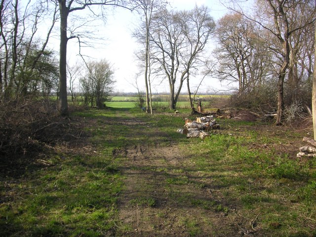
Kingston Wood is a picturesque forest located in Cambridgeshire, England. Spanning approximately 100 acres, it is a popular destination for nature enthusiasts and outdoor lovers. The wood is situated near the village of Kingston, which adds to its charm and accessibility.
The forest is primarily composed of deciduous trees, with a variety of species including oak, beech, and birch. This rich diversity of trees creates a vibrant canopy, providing shade and shelter for the local wildlife. The forest floor is adorned with a carpet of ferns, wildflowers, and mosses, adding to its enchanting beauty.
Kingston Wood is home to a wide array of flora and fauna. Birdwatchers often flock to the area to catch glimpses of species such as woodpeckers, warblers, and owls. Small mammals like squirrels, foxes, and rabbits can also be spotted darting through the undergrowth. Additionally, the wood is home to various insects, including butterflies and beetles.
The forest offers numerous walking trails and pathways, allowing visitors to explore and experience its natural wonders. These paths are well-maintained and suitable for all levels of fitness, making Kingston Wood an ideal destination for families and individuals alike. The serene ambiance and tranquility of the forest provide an escape from the hustle and bustle of daily life.
Overall, Kingston Wood is a breathtaking woodland retreat, offering a peaceful haven for those seeking solace in nature. Its diverse ecosystem, scenic beauty, and recreational opportunities make it a cherished destination for both locals and tourists.
If you have any feedback on the listing, please let us know in the comments section below.
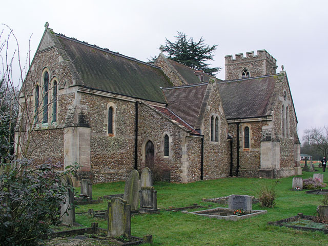
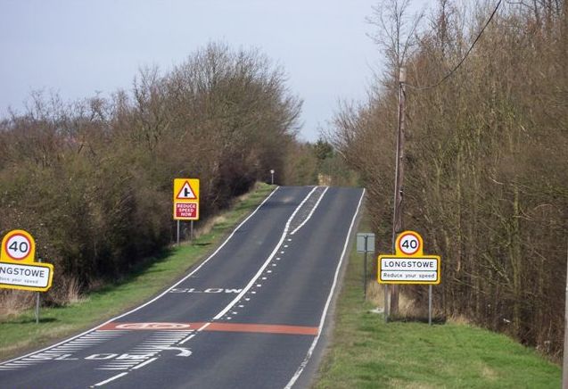
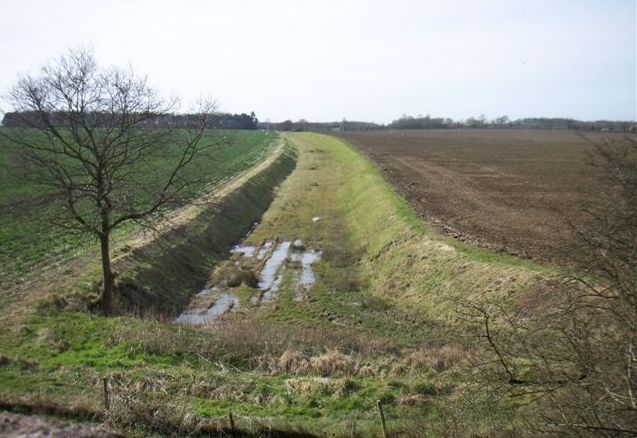
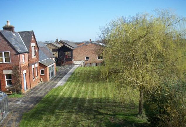
Kingston Wood Images
Images are sourced within 2km of 52.170643/-0.062524274 or Grid Reference TL3254. Thanks to Geograph Open Source API. All images are credited.


Kingston Wood is located at Grid Ref: TL3254 (Lat: 52.170643, Lng: -0.062524274)
Administrative County: Cambridgeshire
District: South Cambridgeshire
Police Authority: Cambridgeshire
What 3 Words
///radiated.teach.thrones. Near Orwell, Cambridgeshire
Nearby Locations
Related Wikis

Kingston Wood and Outliers
Kingston Wood and Outliers is a 47.4-hectare (117-acre) biological Site of Special Scientific Interest south-west of Kingston in Cambridgeshire. The site...
Old North Road railway station
Old North Road was a railway station on the Varsity Line which served the small village of Longstowe near Bourn in Cambridgeshire. As its name suggests...

Wysing Arts Centre
Wysing Arts Centre is a contemporary arts residency centre and campus for artistic production, experimentation and learning in South Cambridgeshire, England...

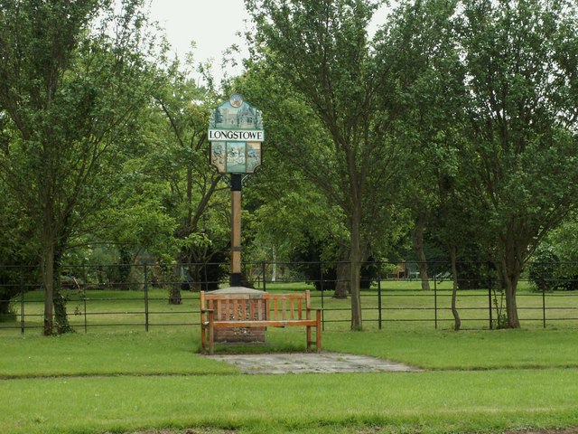
Longstowe
Longstowe is a civil parish and small rural village of nearly 200 residents in South Cambridgeshire, England, 12 miles (19 km) west of Cambridge. The population...
Bourn Castle
Bourn Castle was in the village of Bourn in Cambridgeshire, 10 miles to the west of Cambridge (grid reference TL322562). It originally consisted of wooden...

Bourn Hall Clinic
Bourn Hall Clinic in Bourn, Cambridgeshire, England, is a centre for the treatment of infertility. The original building, Bourn Hall, is about 400 years...
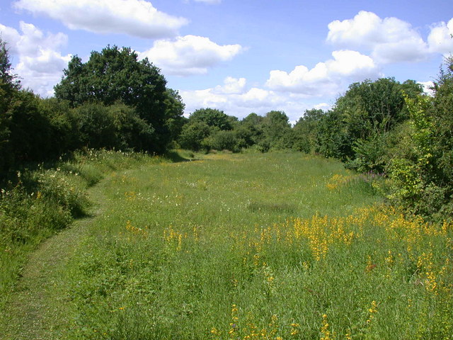
Kingston and Bourn Old Railway
Kingston and Bourn Old Railway or Kingston Amenity Area is a linear 1.9-hectare (4.7-acre) Local Nature Reserve between Kingston and Bourn in Cambridgeshire...
Bourn
Bourn is a small village and civil parish in South Cambridgeshire, England. Surrounding villages include Caxton, Eltisley and Cambourne. It is 8 miles...
Related Videos
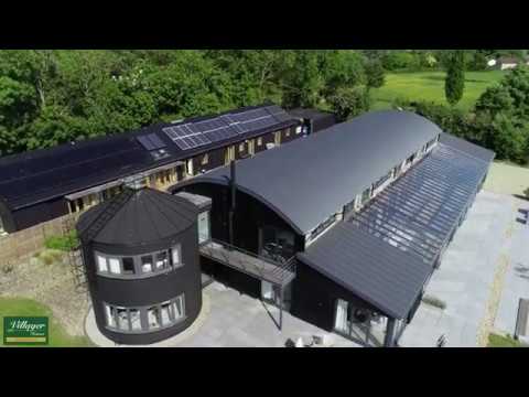
Kingston Barns
Situated in an enviable position with uninterrupted views over the Cambridgeshire Countryside, Kingston Barns has multiple ...
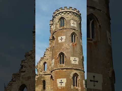
Wimpole Folly 🏰
Wimpole Castle may look like a real medieval castle ruin, but it holds a fascinating secret – it's actually a "folly," a charming garden ...
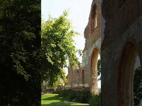
Wimpole Castle... It's Really A Folly 🏰
Wimpole Castle may look like a real medieval castle ruin, but it holds a fascinating secret – it's actually a "folly," a charming garden ...

Disinformation at Wysing Arts Centre - "Kwaidan" + "Ammonite" - 10 Sept 2011
Disinformation presenting "Kwaidan" (for percussion and electrical noise) from the "Sense Data & Perception" CD, at Past, Present ...
Nearby Amenities
Located within 500m of 52.170643,-0.062524274Have you been to Kingston Wood?
Leave your review of Kingston Wood below (or comments, questions and feedback).