Flat Wood

Wood, Forest in Sussex Mid Sussex

England

Flat Wood

Bridleway heading East Looking eastwards along the Bridleway near to Moonhill Farm.
Bridleway heading East Credit: Chris Thomas-Atkin

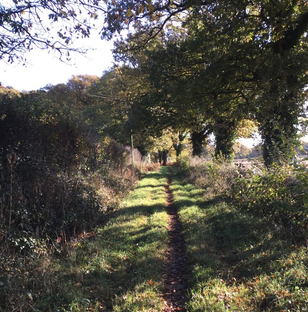
Flat Wood, Sussex is a picturesque woodland located in the southern region of England. Situated in the county of Sussex, this forest is a popular destination for nature enthusiasts and outdoor adventurers alike. Covering a vast area of approximately 100 hectares, Flat Wood offers a serene and tranquil atmosphere that is perfect for those seeking a break from the hustle and bustle of city life.

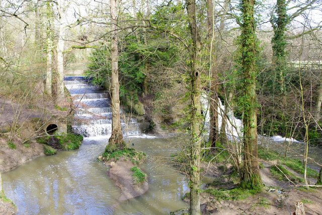
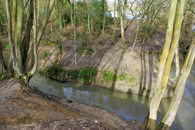
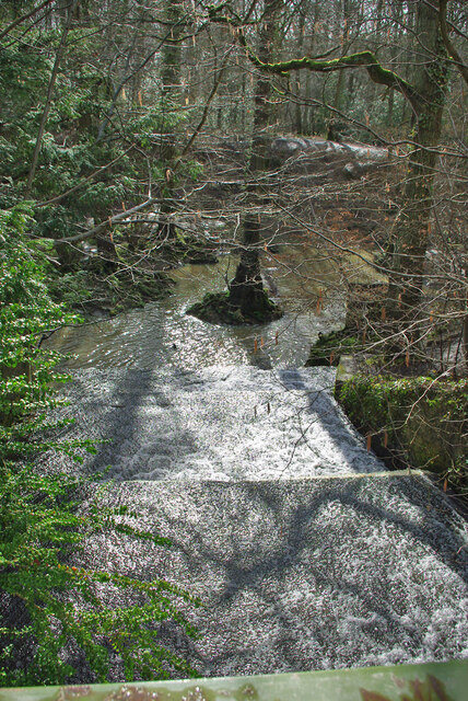
The wood is characterized by its dense canopy of trees, which mainly consists of oak, beech, and birch species. This creates a unique and diverse ecosystem, providing a habitat for a wide range of flora and fauna. Visitors to Flat Wood can expect to encounter an array of wildlife, including deer, rabbits, squirrels, and various species of birds.

There are several well-maintained walking trails that meander through the wood, allowing visitors to explore its natural beauty at their own pace. These trails offer breathtaking views of the surrounding countryside and are suitable for individuals of all fitness levels. Additionally, there are designated picnic areas and benches where visitors can relax and take in the tranquil surroundings.

Flat Wood is also home to a number of historical and archaeological sites. It is believed that the wood has been inhabited since ancient times, with evidence of human activity dating back thousands of years. Archaeological excavations have unearthed artifacts such as pottery, tools, and even remnants of ancient settlements.

Overall, Flat Wood, Sussex is a captivating destination that offers a unique blend of natural beauty and historical significance. Whether it's a leisurely walk, wildlife spotting, or exploring the remnants of the past, this woodland has something to offer for everyone.

If you have any feedback on the listing, please let us know in the comments section below.
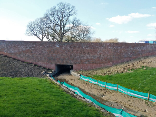
Flat Wood Images

Images are sourced within 2km of 50.986336/-0.12347636 or Grid Reference TQ3122. Thanks to Geograph Open Source API. All images are credited.

Bridleway heading East Looking eastwards along the Bridleway near to Moonhill Farm.
Bridleway heading East
Looking eastwards along the Bridleway near to Moonhill Farm.
Path in Big Wood, Bedelands Farm A local nature reserve.
Path in Big Wood, Bedelands Farm
A local nature reserve.
Spillways, Valebridge Pond On the eastern branch of the River Adur.
Spillways, Valebridge Pond
On the eastern branch of the River Adur.
Blue rope hanging over River Adur Standard equipment for such places.
Blue rope hanging over River Adur
Standard equipment for such places.
Spillway, Valebridge Pond On the eastern branch of the River Adur.
Spillway, Valebridge Pond
On the eastern branch of the River Adur.
Path with footbridge, Leylands Wood Part of Bedelands Farm Local Nature Reserve.
Path with footbridge, Leylands Wood
Part of Bedelands Farm Local Nature Reserve.
Brook in Leylands Wood Part of Bedelands Farm Local Nature Reserve. The water emerges from a culvert under a built-up area and feeds into the River Adur, eastern branch.
Brook in Leylands Wood
Part of Bedelands Farm Local Nature Reserve. The water emerges from a culvert under a built-up area and feeds into the River Adur, eastern branch.
Path in Leylands Wood Part of Bedelands Farm Local Nature Reserve, although this route is a public footpath, 101CR, the CR probably being Cuckfield Rural.
Path in Leylands Wood
Part of Bedelands Farm Local Nature Reserve, although this route is a public footpath, 101CR, the CR probably being Cuckfield Rural.
Paths in Leylands Wood Part of Bedelands Farm Local Nature Reserve, although one route is a public footpath, 101CR, the CR probably being Cuckfield Rural. The helpful board on the right is one of several similar ones at key points, with a map of the nature reserve and its paths and where the local paths go. The reserve is an irregular patchwork of open fields and woods, quite easy to get lost in.
Paths in Leylands Wood
Part of Bedelands Farm Local Nature Reserve, although one route is a public footpath, 101CR, the CR probably being Cuckfield Rural. The helpful board on the right is one of several similar ones at key points, with a map of the nature reserve and its paths and where the local paths go. The reserve is an irregular patchwork of open fields and woods, quite easy to get lost in.
Brook in Leylands Wood Part of Bedelands Farm Local Nature Reserve. The water emerges from a culvert under a built-up area and feeds into the River Adur, eastern branch.
Brook in Leylands Wood
Part of Bedelands Farm Local Nature Reserve. The water emerges from a culvert under a built-up area and feeds into the River Adur, eastern branch.
Footbridge on footpath 46BH The footpath is a continuation into another parish of 101CR, it crosses here a drainage ditch down the side of a football field.
Footbridge on footpath 46BH
The footpath is a continuation into another parish of 101CR, it crosses here a drainage ditch down the side of a football field.
Woodland west of Bedelands Farm nature reserve Continuous with reserve woodland, but just outside its boundary.
Woodland west of Bedelands Farm nature reserve
Continuous with reserve woodland, but just outside its boundary.
No access on Freek's Lane Public footpath 45BH, which is unaffected, but as far as Lowlands Farm and land to the west, was used for vehicle access. All has been taken over by housing developers.
No access on Freek's Lane
Public footpath 45BH, which is unaffected, but as far as Lowlands Farm and land to the west, was used for vehicle access. All has been taken over by housing developers.
New bridge on building site, Burgess Hill A large site, but not a lot more than groundworks so far.
New bridge on building site, Burgess Hill
A large site, but not a lot more than groundworks so far.
Lowlands Farm All fenced off and apparently deserted, what is its fate?
Lowlands Farm
All fenced off and apparently deserted, what is its fate?
Building site west of Freek's Lane A large site, but not a lot more than groundworks so far.
Building site west of Freek's Lane
A large site, but not a lot more than groundworks so far.
Building site west of Freek's Lane A large site, but not a lot more than groundworks so far.
Building site west of Freek's Lane
A large site, but not a lot more than groundworks so far.
Show me another place!

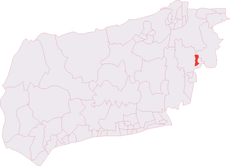
Flat Wood is located at Grid Ref: TQ3122 (Lat: 50.986336, Lng: -0.12347636)

Administrative County: West Sussex

District: Mid Sussex

Police Authority: Sussex

What 3 Words

///blunt.robots.drum. Near Haywards Heath, West Sussex

Related Wikis

Ashenground and Bolnore Woods

Ashenground and Bolnore Woods is a 14.4-hectare (36-acre) Local Nature Reserve in Haywards Heath in West Sussex. It is owned and managed by Mid Sussex...

Bedelands Farm Nature Reserve

Bedelands Farm Nature Reserve is a 35.2-hectare (87-acre) Local Nature Reserve on the northern outskirts of Burgess Hill in West Sussex. It is owned and...

Battle of Muster Green

The Battle of Muster Green (also known as the Battle of Haywards Heath) was a minor battle of major significance that took place during the first week...

Jireh Chapel, Haywards Heath

The Jireh Chapel is a Strict Baptist place of worship in the town of Haywards Heath in the English county of West Sussex. The chapel was built in 1879...

St Francis Hospital, Haywards Heath

St Francis Hospital was a mental health facility in Haywards Heath, West Sussex, England. The main building survives and is a Grade II listed building...

St Francis Rangers F.C.

St Francis Rangers F.C. is a football club based in Haywards Heath, England. They are currently members of the Southern Combination Division Two and play...

St Wilfrid's Church, Haywards Heath

St Wilfrid's Church is an Anglican church in the town of Haywards Heath in the district of Mid Sussex, one of seven local government districts in the English...

Haywards Heath Town (electoral division)

Haywards Heath Town is an electoral division of West Sussex in the United Kingdom, and returns one member to sit on West Sussex County Council. == Extent... ==

Nearby Amenities

Located within 500m of 50.986336,-0.12347636
Surface: paving_stones
Traffic Calming: choker
Lat/Long: 50.9863626/-0.1167413
The data included in this document is from www.openstreetmap.org. The data is made available under ODbL.

Have you been to Flat Wood?

Leave your review of Flat Wood below (or comments, questions and feedback).