Millbrook Shaw
Wood, Forest in Sussex Mid Sussex
England
Millbrook Shaw
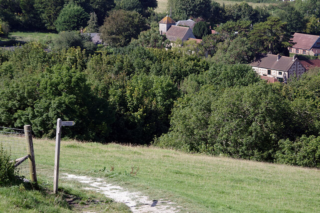
Millbrook Shaw is a picturesque woodland area located in Sussex, England. Covering a vast expanse of land, it is known for its dense forest and tranquil surroundings. The woodland is primarily composed of various types of trees, including oak, beech, and birch, creating a rich and diverse ecosystem.
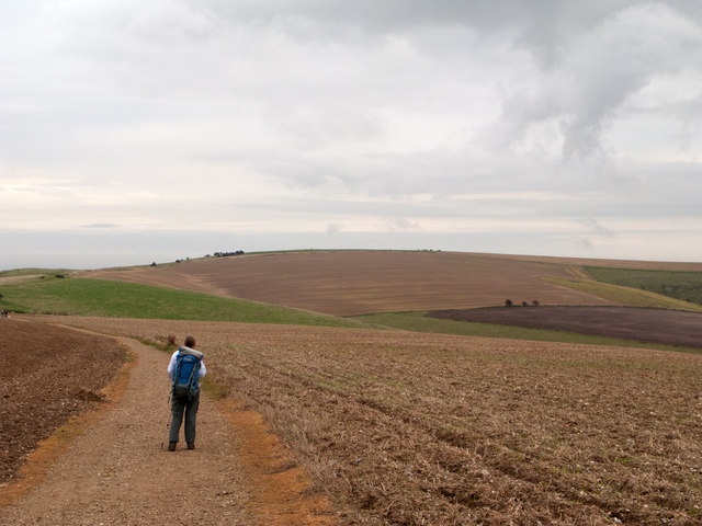
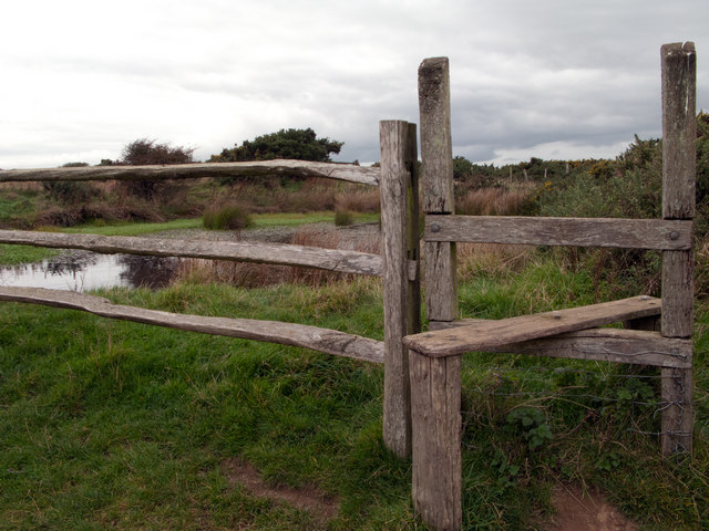
The natural beauty of Millbrook Shaw attracts nature enthusiasts and hikers alike. The forest is home to an array of wildlife, such as deer, squirrels, and a variety of bird species. Visitors can embark on leisurely walks or more challenging hikes through the well-marked trails, immersing themselves in the serene atmosphere and enjoying the sights and sounds of nature.
The woodland has been carefully managed, with designated picnic areas and benches scattered throughout, offering visitors the opportunity to relax and take in the scenic surroundings. There are also several designated camping spots for those looking to spend a night under the stars.
Millbrook Shaw is conveniently located near several amenities. Nearby villages offer quaint shops, cafes, and restaurants, providing visitors with a chance to explore the local culture and indulge in delicious cuisine.
With its idyllic setting and diverse wildlife, Millbrook Shaw is a haven for nature lovers seeking respite from the hustle and bustle of city life. Whether it's a leisurely stroll, an adventurous hike, or a peaceful picnic, this woodland offers something for everyone, making it a must-visit destination in Sussex.
If you have any feedback on the listing, please let us know in the comments section below.
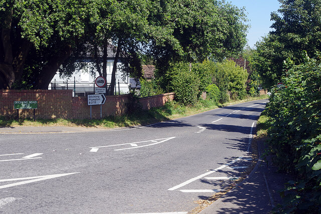
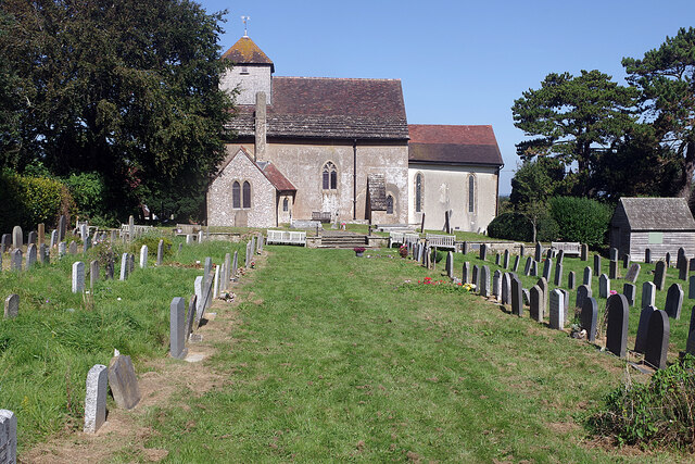
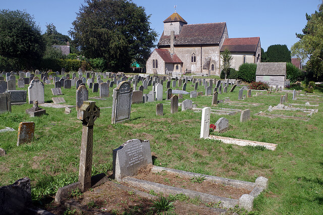
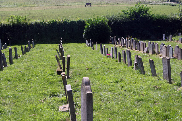
Millbrook Shaw Images
Images are sourced within 2km of 50.912309/-0.13281405 or Grid Reference TQ3114. Thanks to Geograph Open Source API. All images are credited.


Millbrook Shaw is located at Grid Ref: TQ3114 (Lat: 50.912309, Lng: -0.13281405)
Administrative County: West Sussex
District: Mid Sussex
Police Authority: Sussex
What 3 Words
///backpack.dose.reckoned. Near Ditchling, East Sussex
Nearby Locations
Related Wikis
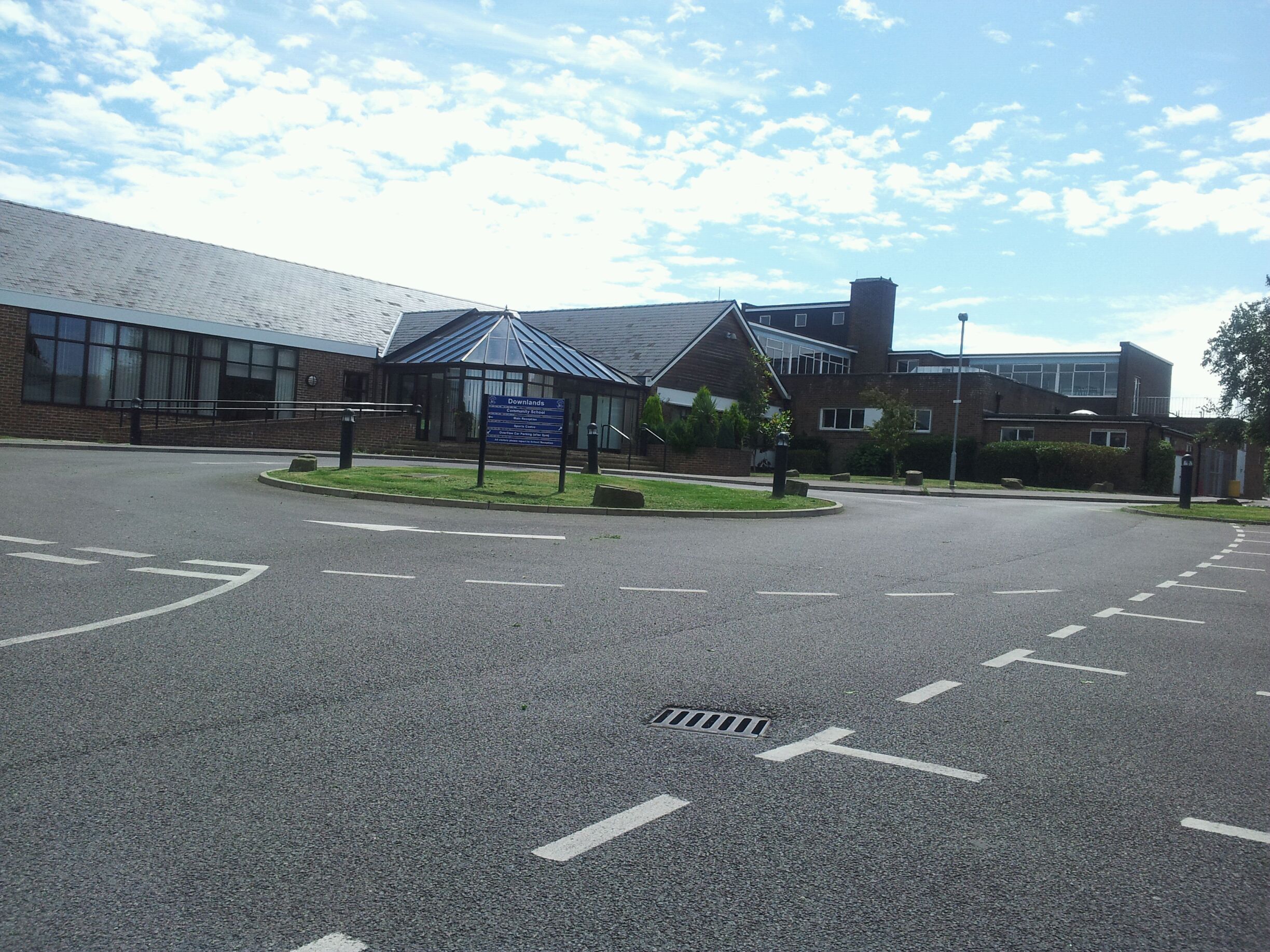
Downlands Community School
Downlands Community School is a maintained comprehensive for pupils aged 11 to 16. It has about 1200 pupils. In November 2016, Ofsted inspected the school...
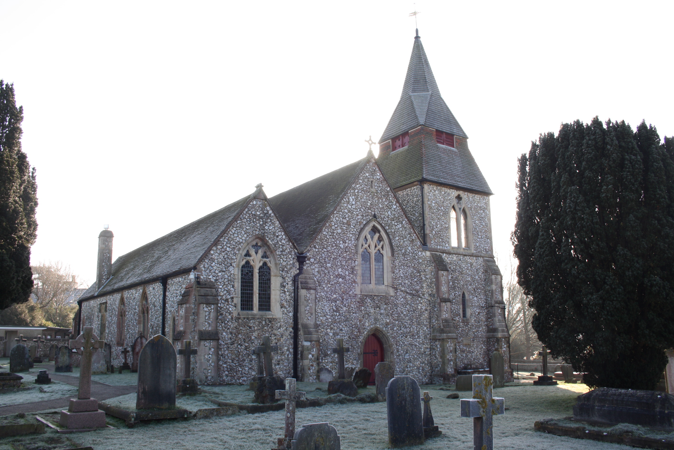
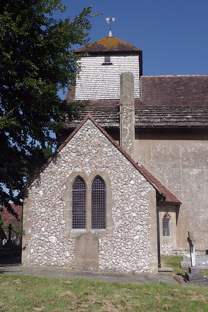
St Cosmas and St Damian Church, Keymer
St Cosmas and St Damian Church is an Anglican church in the village of Keymer, in the Mid Sussex district of West Sussex, England. Rebuilt in 1866 in...

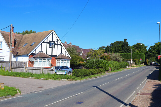
Keymer
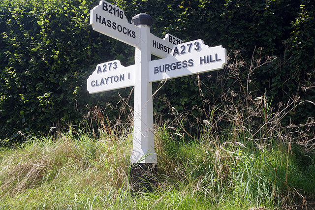
Keymer is a village in Hassocks civil parish, in the Mid Sussex District of West Sussex, England. It lies on the B2116 road 2.4 miles (3.9 km) south of...

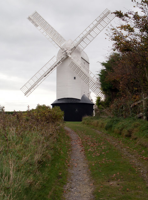
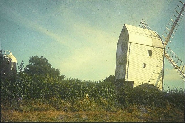
Clayton Windmills
The Clayton Windmills, known locally as Jack and Jill, stand on the South Downs above the village of Clayton, West Sussex, England. They comprise a post...

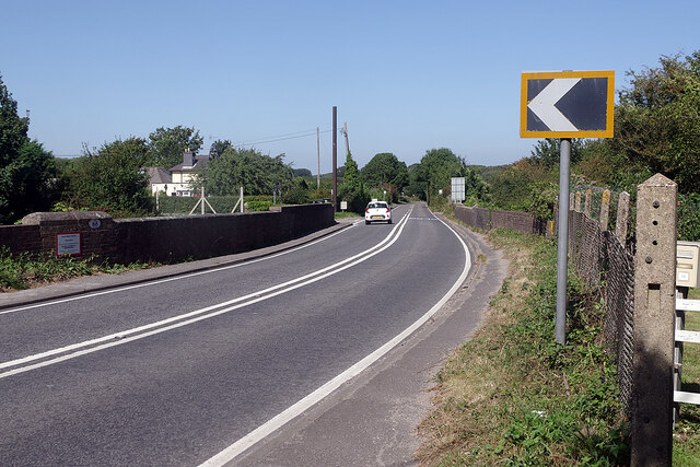
Clayton, West Sussex
Clayton is a small village and former civil parish, now in the parish of Hassocks, in the Mid Sussex district, in the county of West Sussex, England. It...

St John the Baptist's Church, Clayton
St John the Baptist's Church is the Church of England parish church of the village of Clayton in Mid Sussex District, one of seven local government districts...
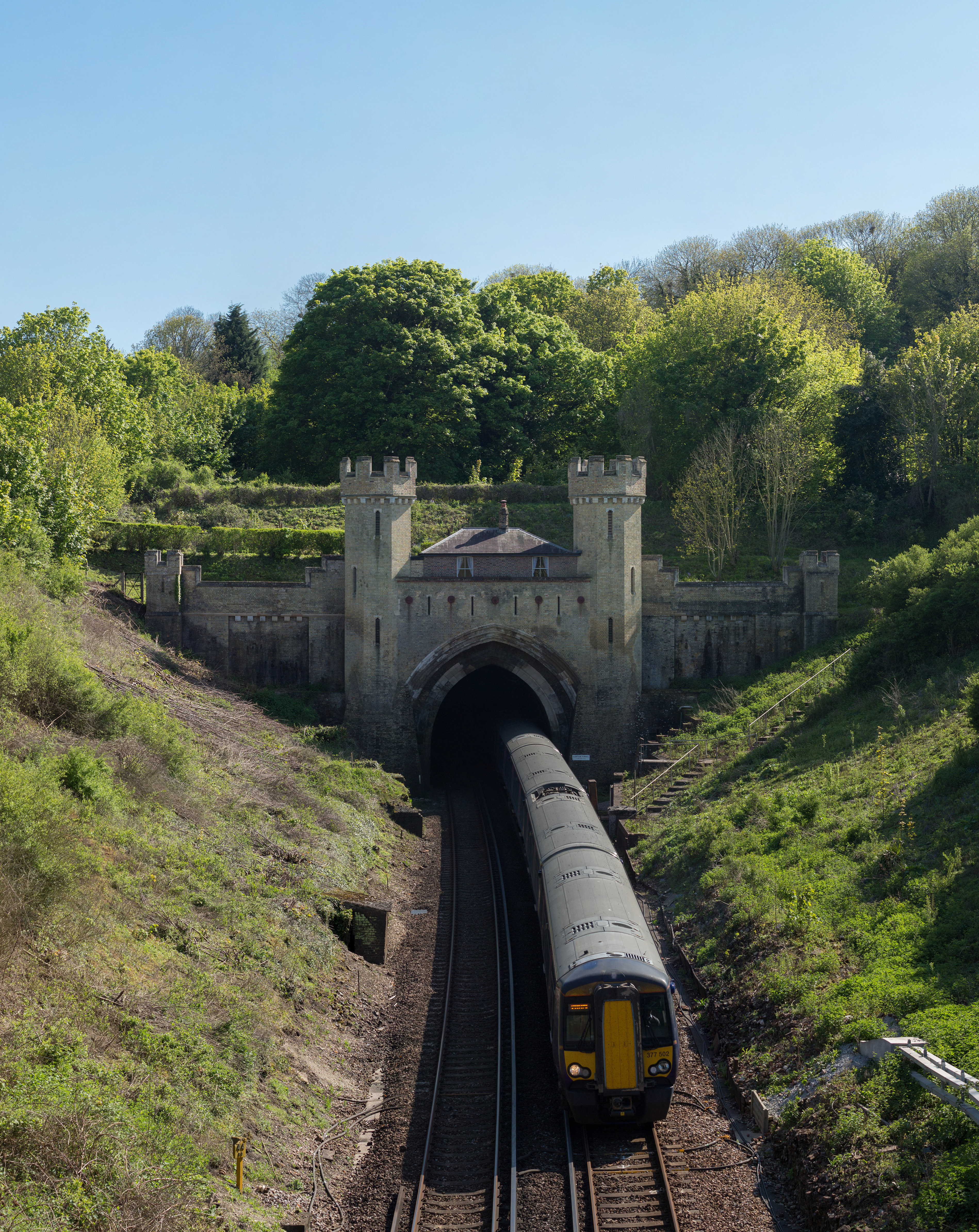
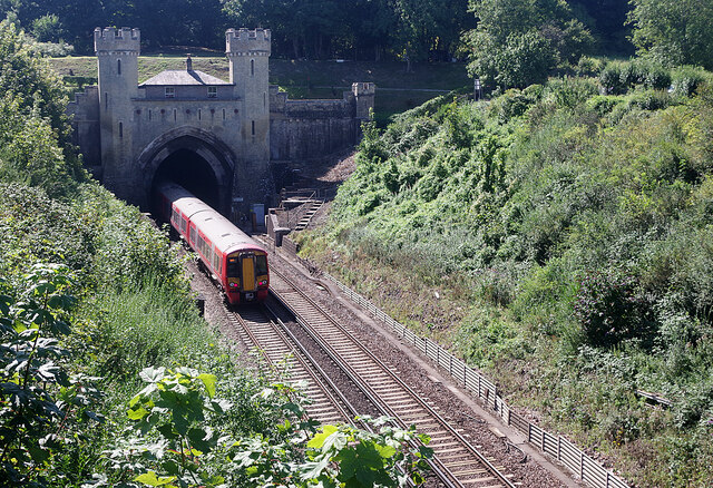
Clayton Tunnel
Clayton Tunnel is a railway tunnel located near the villages of Clayton and Pyecombe in West Sussex, between Hassocks and Preston Park railway stations...

Clayton Tunnel rail crash
The Clayton Tunnel rail crash occurred on Sunday 25 August 1861, five miles (8 km) from Brighton on the south coast of England. At the time it was the...
Nearby Amenities
Located within 500m of 50.912309,-0.13281405Have you been to Millbrook Shaw?
Leave your review of Millbrook Shaw below (or comments, questions and feedback).