Pingle Wood
Wood, Forest in Huntingdonshire Huntingdonshire
England
Pingle Wood
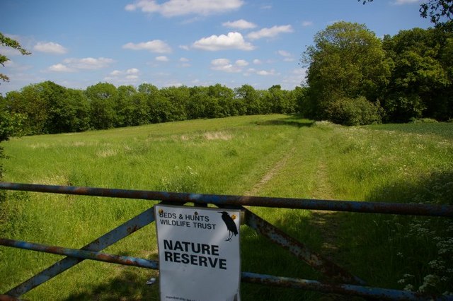
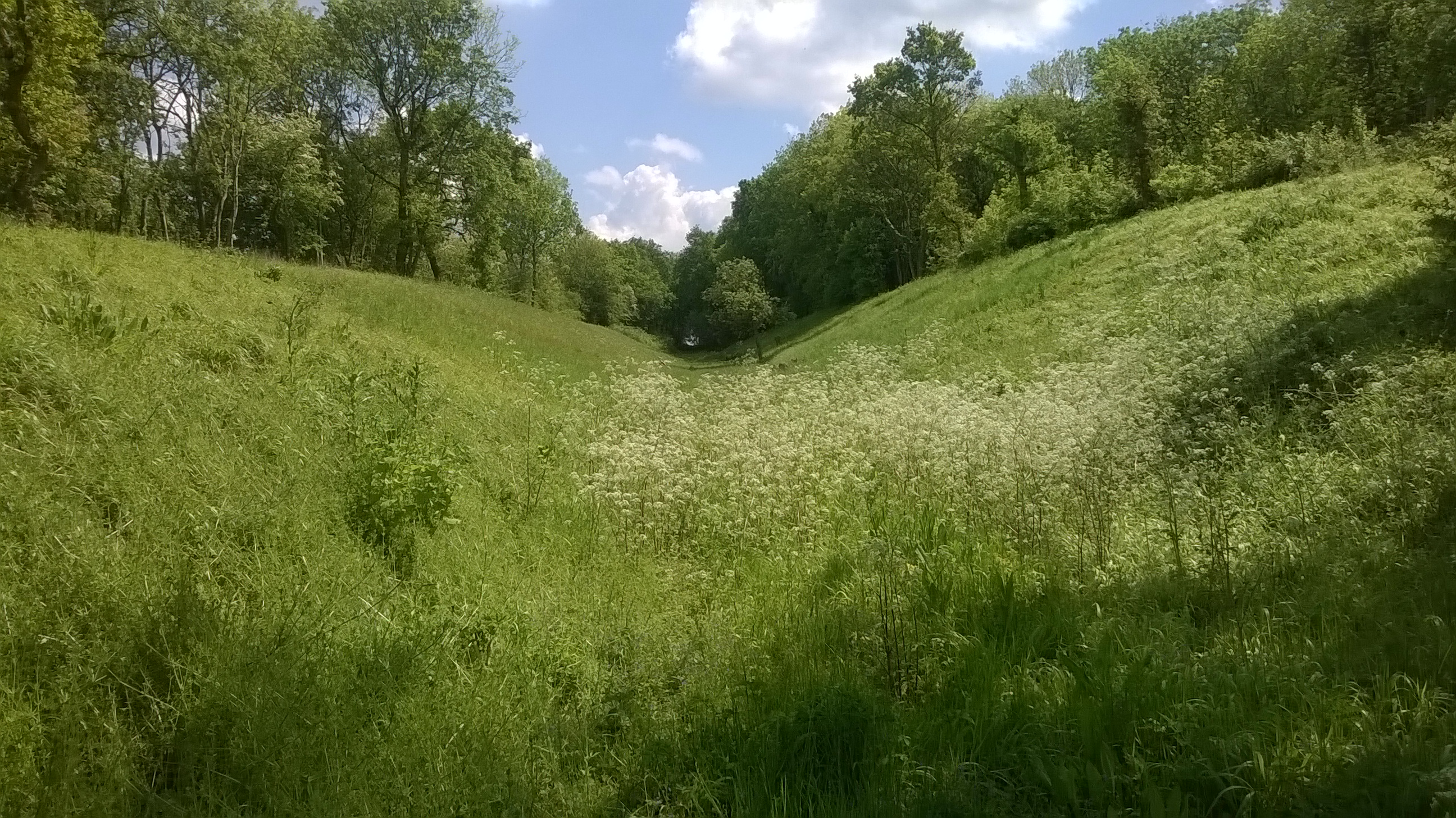
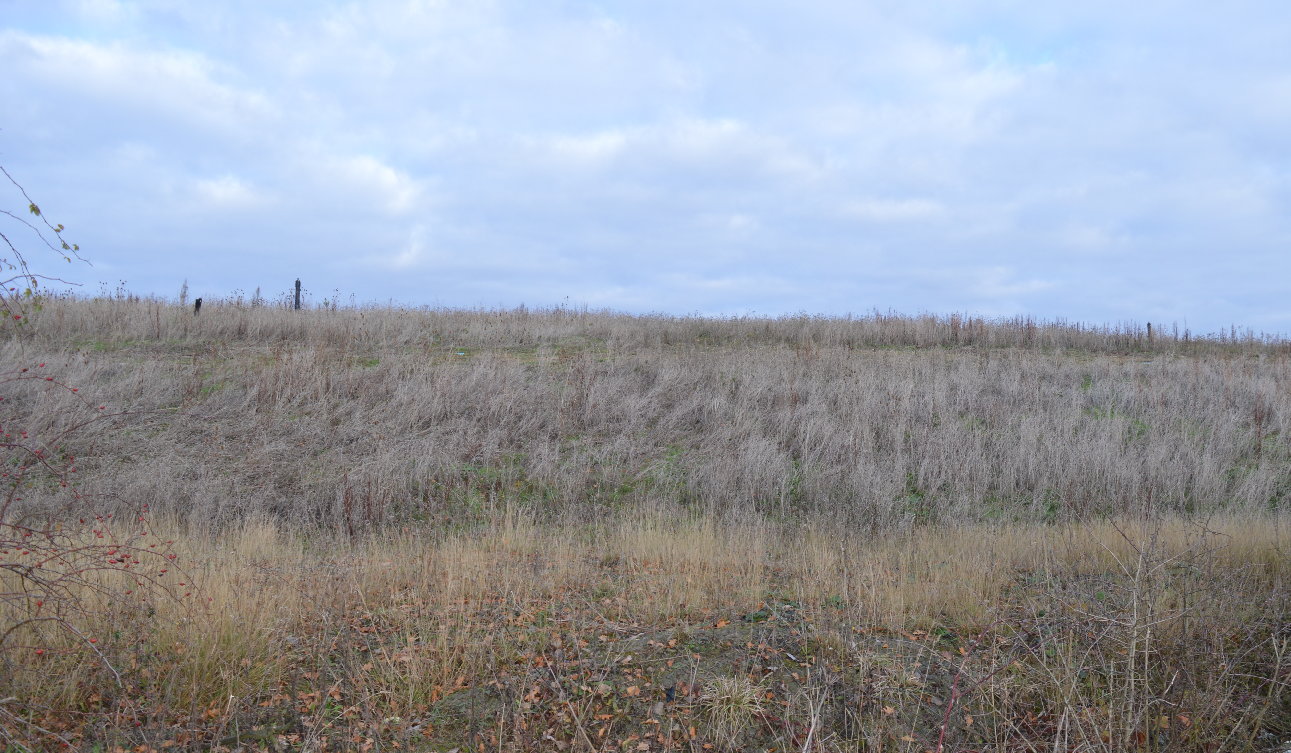
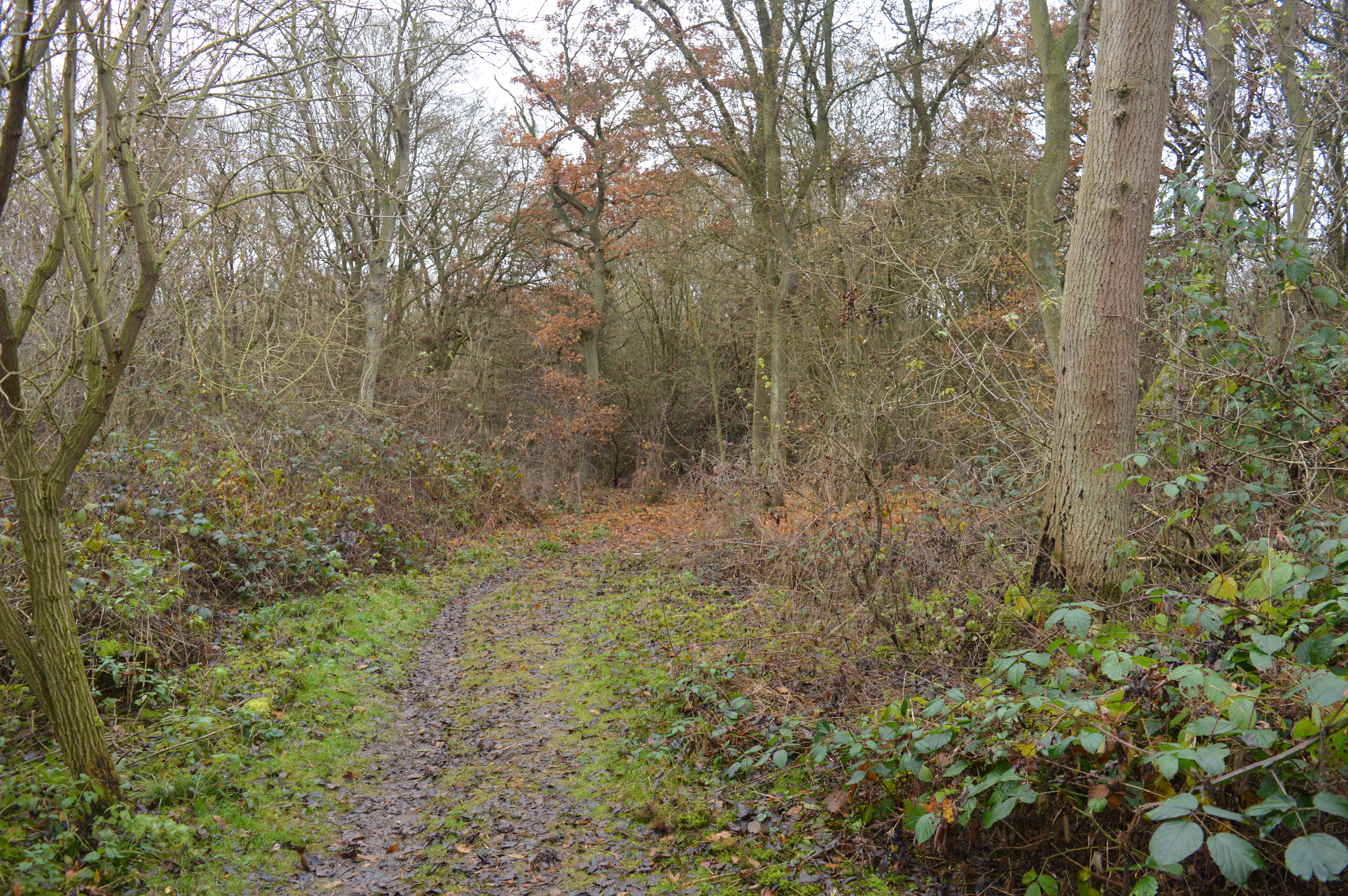
Pingle Wood is a picturesque woodland located in the county of Huntingdonshire, England. Covering an area of approximately 50 hectares, it is situated on the outskirts of the small village of Pingle, near the town of Huntingdon. The wood is part of a larger forested area known as Pingle Woodland, which encompasses several other smaller woods and green spaces.
Characterized by its dense canopy of mature trees, Pingle Wood is predominantly composed of native broadleaf species such as oak, beech, and birch. These trees create a rich and diverse habitat, providing a haven for a variety of wildlife including birds, mammals, and insects.
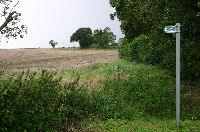
The woodland features a network of well-maintained footpaths, allowing visitors to explore its natural beauty at their leisure. These paths wind through the wood, passing by tranquil ponds and open clearings, which offer an opportunity for peaceful reflection and relaxation.
Pingle Wood is a popular destination for walkers, joggers, and nature enthusiasts seeking to immerse themselves in the natural environment. It attracts visitors throughout the year, each season bringing its own unique charm. In spring, the woodland floor bursts with vibrant wildflowers, while autumn sees the trees adorned with rich hues of red, orange, and gold.
Managed by the local forestry commission, Pingle Wood is cared for and protected to ensure its preservation for future generations to enjoy. It serves as a valuable natural resource, providing not only recreational opportunities but also playing a crucial role in the conservation of local biodiversity.
If you have any feedback on the listing, please let us know in the comments section below.
Pingle Wood Images
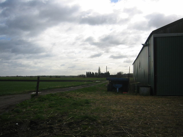
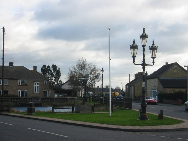
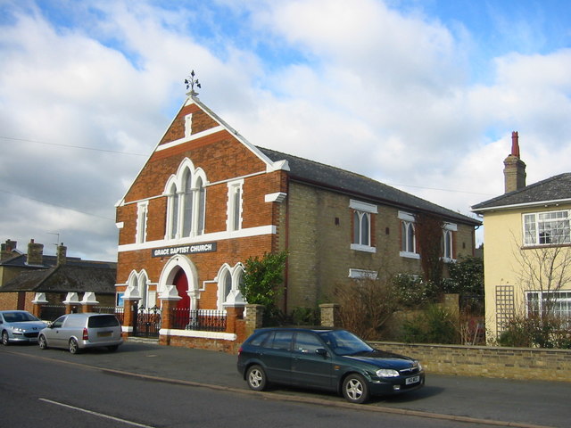
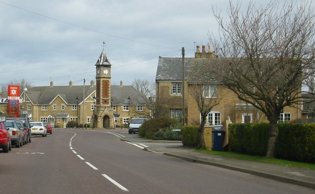
Images are sourced within 2km of 52.415031/-0.070107253 or Grid Reference TL3181. Thanks to Geograph Open Source API. All images are credited.


Pingle Wood is located at Grid Ref: TL3181 (Lat: 52.415031, Lng: -0.070107253)
Administrative County: Cambridgeshire
District: Huntingdonshire
Police Authority: Cambridgeshire
What 3 Words
///unfilled.branch.reddish. Near Warboys, Cambridgeshire
Nearby Locations
Related Wikis
Pingle Cutting
Pingle Cutting is a 1.0-hectare (2.5-acre) nature reserve north of Warboys in Cambridgeshire. It is managed by the Wildlife Trust for Bedfordshire, Cambridgeshire...

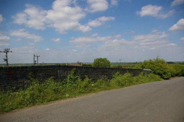
Warboys railway station
Warboys railway station was a railway station in Warboys, Cambridgeshire, which opened in 1889 and closed completely in 1964. == References == == External... ==
Warboys Clay Pit
Warboys Clay Pit is a 12.6-hectare (31-acre) geological Site of Special Scientific Interest west of Warboys in Cambridgeshire. It is a Geological Conservation...
Warboys and Wistow Woods
Warboys and Wistow Woods is a 44.5-hectare (110-acre) biological Site of Special Scientific Interest north of Warboys and west of Wistow in Cambridgeshire...
Warboys Town F.C.
Warboys Town Football Club is a football club based in Warboys, near Ramsey in Cambridgeshire, England. The club are currently members of the Peterborough...

Warboys
Warboys is a large village and civil parish in the Huntingdonshire district of Cambridgeshire, England, 7 miles (11 km) north-east of Huntingdon. ��2...
Wistow, Cambridgeshire
Wistow is a village and civil parish in Cambridgeshire, England. Wistow lies approximately 6 miles (10 km) north-east of Huntingdon, near Warboys. Wistow...
Bury, Cambridgeshire
Bury is a village and civil parish in Cambridgeshire, England. Bury lies approximately 7 miles (11 km) north/north east of Huntingdon and is near to Ramsey...
Nearby Amenities
Located within 500m of 52.415031,-0.070107253Have you been to Pingle Wood?
Leave your review of Pingle Wood below (or comments, questions and feedback).