The Roughs

Wood, Forest in Hertfordshire Welwyn Hatfield

England

The Roughs

Epping Green It's the road and village name.
Epping Green Credit: David Howard

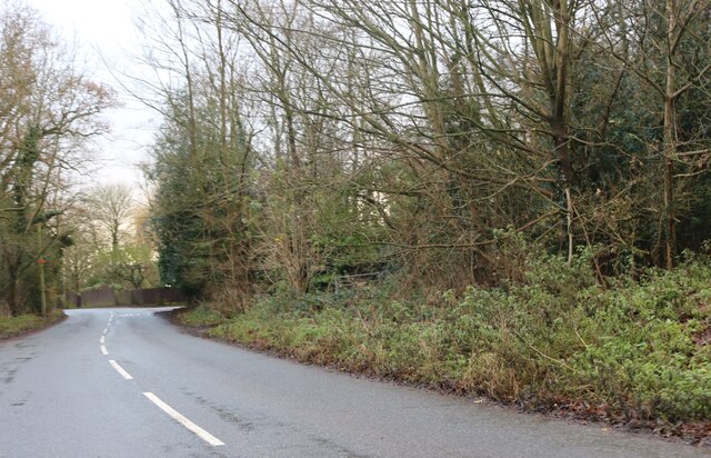
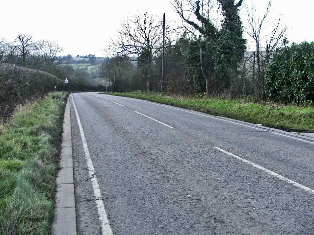
The Roughs is a stunning woodland area located in Hertfordshire, England. This enchanting forest covers a vast area of approximately 500 acres, offering visitors a peaceful and picturesque retreat. The Roughs is nestled between the charming towns of Hertford and Ware, making it easily accessible for both locals and tourists alike.

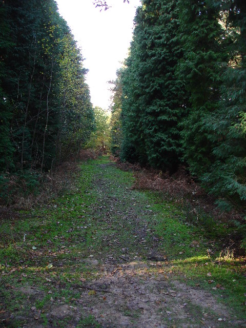
The woodland is predominantly made up of native oak and hornbeam trees, creating a dense canopy that provides shade and shelter for an array of wildlife. Walking through The Roughs, visitors can expect to encounter a variety of flora and fauna, including foxes, deer, and various species of birds.

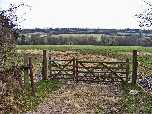
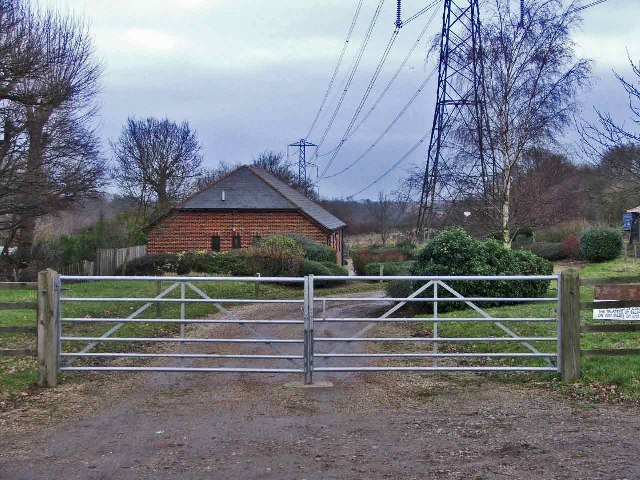
The Roughs is crisscrossed by a network of well-maintained footpaths, allowing visitors to explore the area at their own pace. These paths lead visitors through a diverse landscape, including meadows, ponds, and gently flowing streams. Nature enthusiasts will be in awe of the abundance of wildflowers that bloom throughout the seasons, adding vibrant pops of color to the woodland scenery.

For those seeking a more active adventure, The Roughs offers cycling trails that wind their way through the forest. These trails cater to riders of all abilities, from beginners to experienced cyclists. Horse riders are also welcome in The Roughs, with designated bridle paths providing a scenic route for equestrian enthusiasts.

The Roughs is a true gem in Hertfordshire, providing a serene escape from the hustle and bustle of everyday life. Whether visitors are seeking a peaceful stroll, a challenging bike ride, or simply a moment of tranquility amidst nature, The Roughs offers an idyllic setting that is sure to captivate all who venture into its wooded embrace.

If you have any feedback on the listing, please let us know in the comments section below.

The Roughs Images

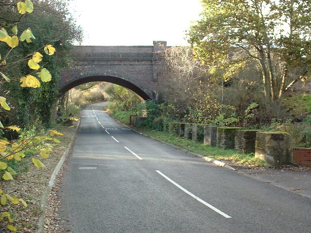
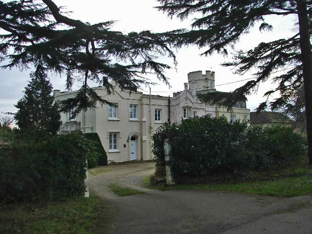
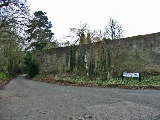
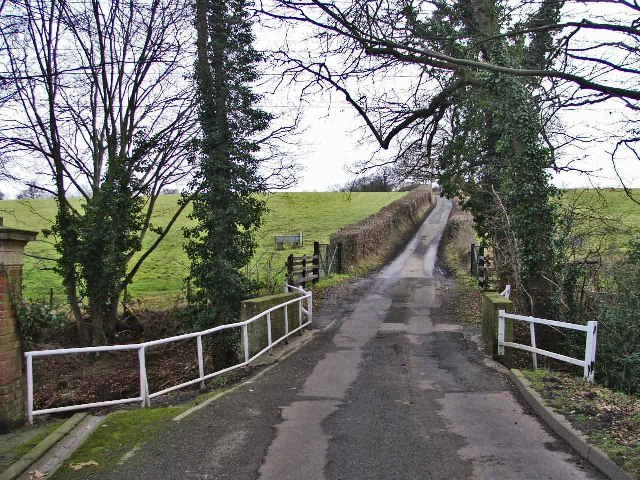
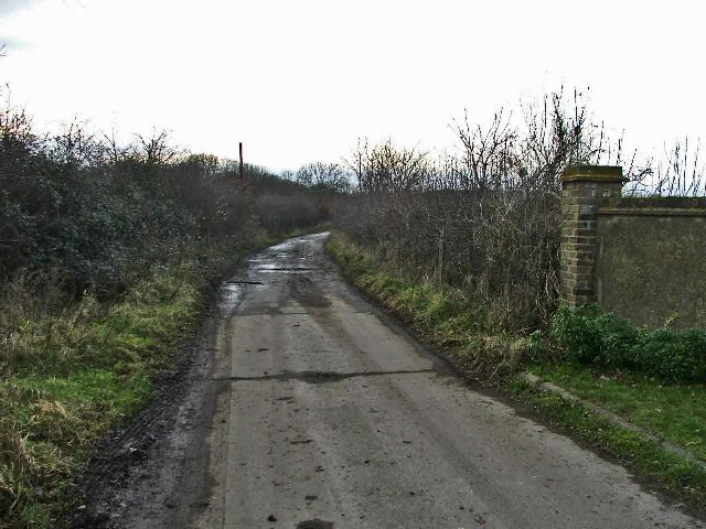
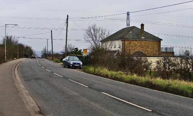
Images are sourced within 2km of 51.735872/-0.10059813 or Grid Reference TL3105. Thanks to Geograph Open Source API. All images are credited.

Epping Green It's the road and village name.
Epping Green
It's the road and village name.
House in Epping Green
St Mary's Church Newgate Street Quite a handsome church
St Mary's Church Newgate Street
Quite a handsome church
Pathway in Broxbourne Woods This pathway is one of many in these beautiful woods.  There is also a circular walk with beautiful sculptures carved from great chunks of wood.
Pathway in Broxbourne Woods
This pathway is one of many in these beautiful woods. There is also a circular walk with beautiful sculptures carved from great chunks of wood.
Sculpture in Broxbourne Woods. This is one of about a dozen sculptures scattered around these woods by artist Dan Cordell.  Each appears to be carved from a solid chunk of wood, some, as in this case, appear to be carved from a stump, where it grew.
Sculpture in Broxbourne Woods.
This is one of about a dozen sculptures scattered around these woods by artist Dan Cordell. Each appears to be carved from a solid chunk of wood, some, as in this case, appear to be carved from a stump, where it grew.
Cuffley world War 2 Anti-tank Blocks This railway bridge at Cuffley was also an intersection with a road and a river and is protected by no less than 85 anti-tank blocks. This is the most extensive surviving group of anti-tank obstacles in Hertfordshire. 

For more info visit <span class="nowrap"><a title="http://www.pillboxesuk.co.uk" rel="nofollow ugc noopener" href="http://www.pillboxesuk.co.uk">Link</a><img style="margin-left:2px;" alt="External link" title="External link - shift click to open in new window" src="https://s1.geograph.org.uk/img/external.png" width="10" height="10"/></span>
Cuffley world War 2 Anti-tank Blocks
This railway bridge at Cuffley was also an intersection with a road and a river and is protected by no less than 85 anti-tank blocks. This is the most extensive surviving group of anti-tank obstacles in Hertfordshire. For more info visit LinkExternal link
Beaumont Manor, Beaumont Road, Cheshunt Beaumont Manor, is on the corner of Beaumont Road and Bread and Cheese Lane, Cheshunt, Hertfordshire
Beaumont Manor, Beaumont Road, Cheshunt
Beaumont Manor, is on the corner of Beaumont Road and Bread and Cheese Lane, Cheshunt, Hertfordshire
Cottages, Beaumont Road, Cheshunt These cottages are at the end of Beaumont Road before it becomes a path leading to Baisley's Wood
Cottages, Beaumont Road, Cheshunt
These cottages are at the end of Beaumont Road before it becomes a path leading to Baisley's Wood
Farmland, Beaumont Road, looking South Farmland in Beaumont Road, Cheshunt, looking southwards.  This farmland is adjacent to Beaumont Manor.
Farmland, Beaumont Road, looking South
Farmland in Beaumont Road, Cheshunt, looking southwards. This farmland is adjacent to Beaumont Manor.
Corner of Bread and Cheese Lane where it meets Beaumont Road, Cheshunt Bread and Cheese Lane Cheshunt on the corner of Beaumont Road.  The brick wall belongs to Beaumont Manor
Corner of Bread and Cheese Lane where it meets Beaumont Road, Cheshunt
Bread and Cheese Lane Cheshunt on the corner of Beaumont Road. The brick wall belongs to Beaumont Manor
Bread and Cheese Bridge, Bread and Cheese Lane, Cheshunt Bread and Cheese Bridge is in the valley in Bread and Cheese Lane, where the road passes over the Turnford Brook.
Bread and Cheese Bridge, Bread and Cheese Lane, Cheshunt
Bread and Cheese Bridge is in the valley in Bread and Cheese Lane, where the road passes over the Turnford Brook.
Beaumont Road looking West Beaumont Road, Cheshunt, looking west towards Bailey's Wood
Beaumont Road looking West
Beaumont Road, Cheshunt, looking west towards Bailey's Wood
Darnicle Hill, Cheshunt, Hertfordshire Darnicle Hill, Cheshunt, looking east.
Darnicle Hill, Cheshunt, Hertfordshire
Darnicle Hill, Cheshunt, looking east.
Darnicle Hill, Cheshunt, Hertfordshire Darnicle Hill, Cheshunt, looking west.
Darnicle Hill, Cheshunt, Hertfordshire
Darnicle Hill, Cheshunt, looking west.
Darnicle Hill Nursery, Darnicle Hill, Cheshunt Darnicle Hill Nursery is on the North side of the road.  L A Dingemans, Specialist Lettuce Growers, operate from this nursery
Darnicle Hill Nursery, Darnicle Hill, Cheshunt
Darnicle Hill Nursery is on the North side of the road. L A Dingemans, Specialist Lettuce Growers, operate from this nursery
Looking East from Newgatestreet Road, Goffs Oak Looking east down a track off Newgatestreet Road, Goffs Oak.  I believe the building is some kind of meeting house
Looking East from Newgatestreet Road, Goffs Oak
Looking east down a track off Newgatestreet Road, Goffs Oak. I believe the building is some kind of meeting house
St Mary's Ponsbourne, Newgate Street, Hertfordshire
The Gables Restaurant, New Park Road, Newgate Street This restaurant serves Mediterranean food.
The Gables Restaurant, New Park Road, Newgate Street
This restaurant serves Mediterranean food.
Show me another place!

The Roughs is located at Grid Ref: TL3105 (Lat: 51.735872, Lng: -0.10059813)

Administrative County: Hertfordshire

District: Welwyn Hatfield

Police Authority: Hertfordshire

What 3 Words

///relax.driver.jukebox. Near Cuffley, Hertfordshire

Related Wikis

Newgate Street, Hertfordshire

Newgate Street is a village near Cuffley, in Hatfield civil parish, in the Welwyn Hatfield district of Hertfordshire, England. It is approximately six...

Tolmers Park

Tolmers Park is a manor house in Newgate Street Village near Hatfield in Hertfordshire, England. == Early history == The early history of the manor is...

Broxbourne Woods

Broxbourne Woods are a 239.1 hectare National Nature Reserve west of Broxbourne in Hertfordshire. The site is Hertfordshire's only National Nature Reserve...

Wormley-Hoddesdonpark Wood North

Wormley-Hoddesdonpark Wood North is a 143.9-hectare (356-acre) woodland area in Hertfordshire which has been designated as a biological site of Special...

Have you been to The Roughs?

Leave your review of The Roughs below (or comments, questions and feedback).