Isabel Wood
Wood, Forest in Surrey Tandridge
England
Isabel Wood
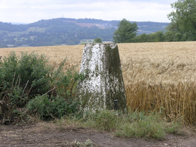
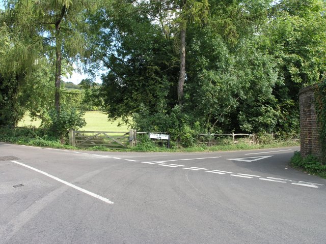
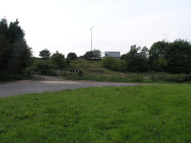
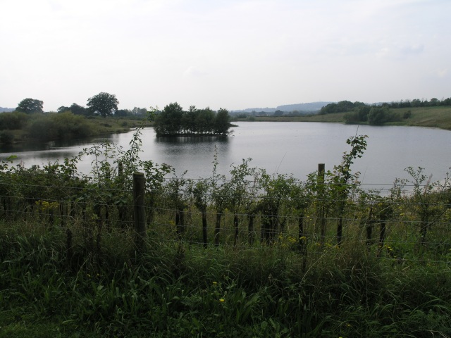
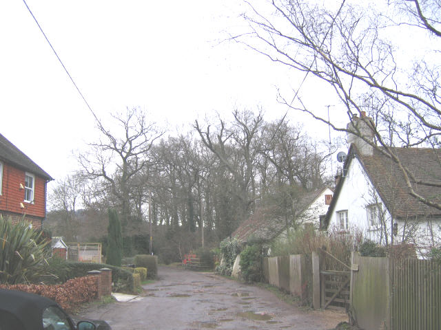
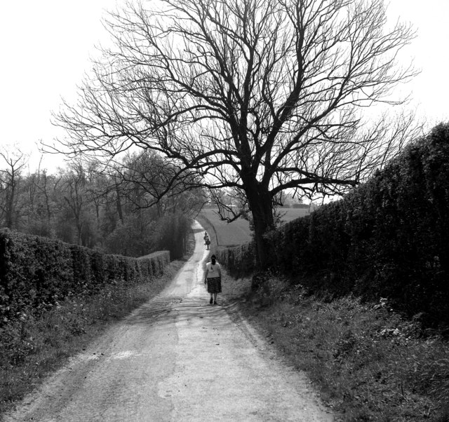
Isabel Wood, Surrey, also known as Wood or Forest, is a picturesque wooded area located in the county of Surrey, England. It is situated within the borough of Waverley, near the village of Churt. This enchanting woodland covers an approximate area of 200 acres and is part of the larger Surrey Hills Area of Outstanding Natural Beauty.
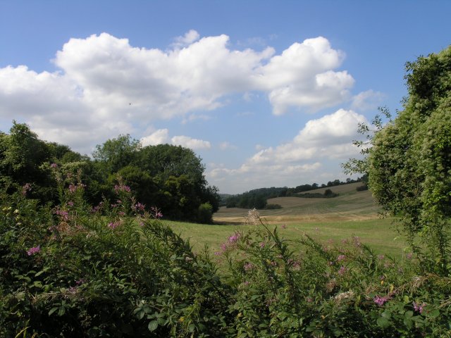
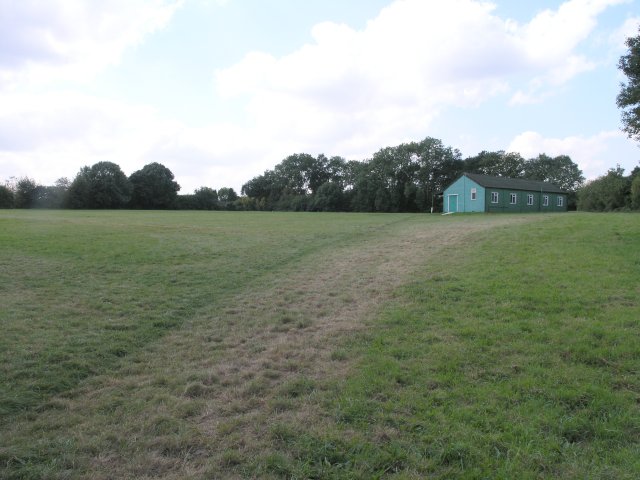
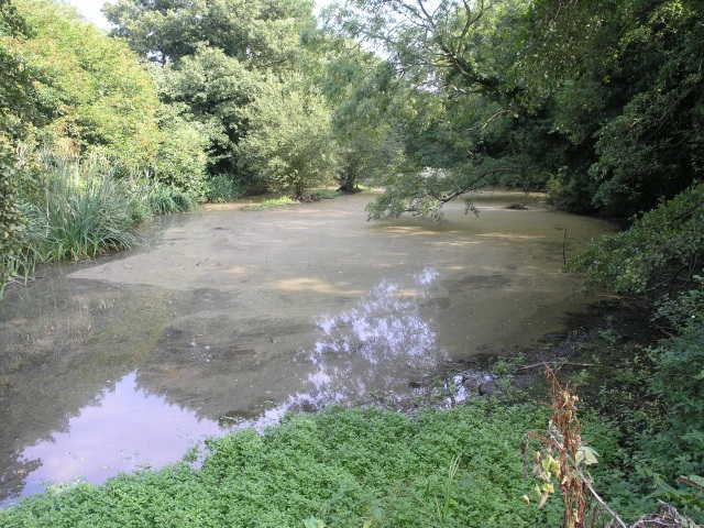
Isabel Wood is renowned for its rich biodiversity and abundance of wildlife. The woodland is primarily composed of mature broadleaf trees, including oak, beech, and birch, which create a dense and shady canopy. The forest floor is carpeted with a variety of wildflowers, ferns, and mosses, adding to its natural beauty.
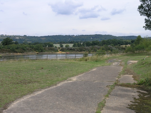
The wood offers ample opportunities for outdoor activities such as hiking, nature walks, and birdwatching. The well-maintained trails meander through the woodland, providing visitors with a chance to immerse themselves in the tranquil surroundings and discover the diverse flora and fauna that call Isabel Wood home. The area is particularly popular among birdwatchers, as it is home to a variety of bird species, including woodpeckers, owls, and songbirds.
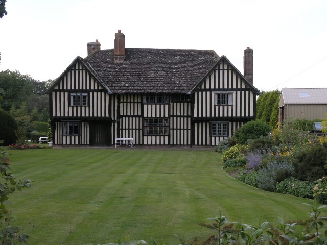
Isabel Wood also has historical significance, with evidence of human activity dating back to the Bronze Age. Ancient earthworks and burial mounds can still be found within the woodland, providing a glimpse into its past.
Overall, Isabel Wood, Surrey is a stunning natural haven, offering visitors a chance to escape the hustle and bustle of everyday life and reconnect with nature. Its peaceful atmosphere, diverse wildlife, and scenic beauty make it a beloved destination for both locals and tourists alike.
If you have any feedback on the listing, please let us know in the comments section below.
Isabel Wood Images
Images are sourced within 2km of 51.260292/-0.12461041 or Grid Reference TQ3052. Thanks to Geograph Open Source API. All images are credited.


Isabel Wood is located at Grid Ref: TQ3052 (Lat: 51.260292, Lng: -0.12461041)
Administrative County: Surrey
District: Tandridge
Police Authority: Surrey
What 3 Words
///pink.allow.humid. Near Bletchingley, Surrey
Nearby Locations
Related Wikis

Quarry Hangers
Quarry Hangers is a 28.5-hectare (70-acre) biological Site of Special Scientific Interest south-west of Caterham in Surrey. An area of 11 hectares (27...
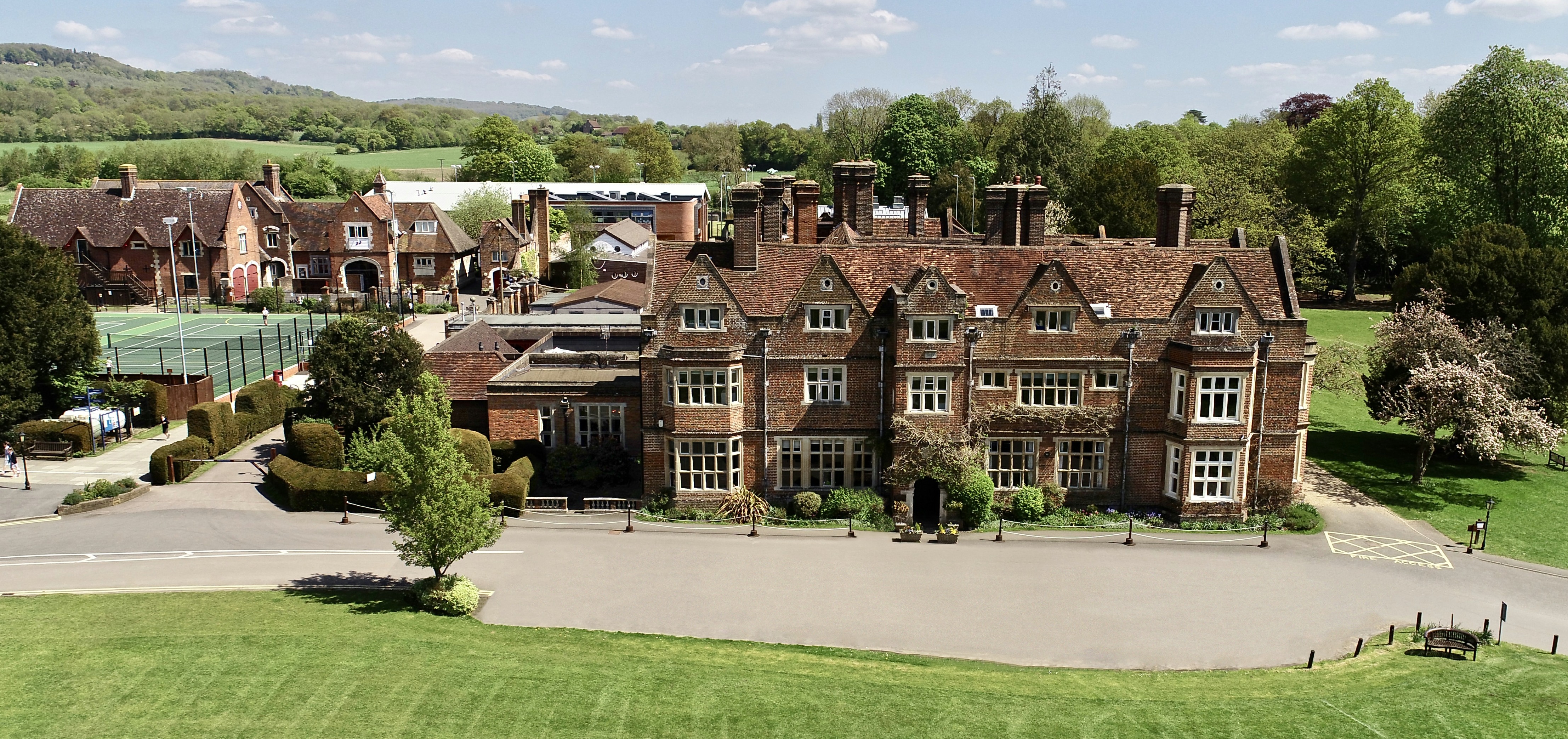
The Hawthorns School
The Hawthorns School is an independent preparatory school for boys and girls aged 2 years to 13 years in Bletchingley, Surrey, England. The headmaster...

Merstham F.C.
Merstham Football Club is a football club based in Merstham, Surrey, England. Affiliated to the Surrey FA, they are currently members of the Isthmian League...

Merstham railway station
Merstham railway station is in Merstham, Surrey, England. It is on the Brighton Main Line, 20 miles 59 chains (33.4 km) measured from London Charing Cross...

Kitchen Copse
Kitchen Copse is a 7-hectare (17-acre) nature reserve north of Bletchingley in Surrey. It is managed by the Surrey Wildlife Trust.This ancient semi-natural...
Merstham
Merstham is a town in the borough of Reigate and Banstead in Surrey, England. It lies 17 miles south of Charing Cross just beyond the Greater London border...

Chaldon
Chaldon is a village and civil parish in the Tandridge District of Surrey, England. The village is situated high on the North Downs, immediately west of...
Merstham tunnels
The Merstham and Quarry tunnels are two neighbouring railway tunnels on the Brighton Main Line between Merstham and Coulsdon (formerly Stoats Nest) in...
Nearby Amenities
Located within 500m of 51.260292,-0.12461041Have you been to Isabel Wood?
Leave your review of Isabel Wood below (or comments, questions and feedback).