Round Close Plantation

Wood, Forest in Yorkshire

England

Round Close Plantation

All Saints Church, Tunstall The church has a chancel, aisled nave and west tower. It is built of boulders with ashlar dressings, 13th-century but with 12th-century masonry in the chancel. There is herringbone masonry. Many walls in the village use cobbles in this way too.
All Saints Church, Tunstall Credit: Colin Kinnear

Round Close Plantation is a charming woodland area located in Yorkshire, England. Spanning over several acres, this plantation is a haven for nature enthusiasts and offers a serene escape from the hustle and bustle of daily life.

Situated in the heart of the Yorkshire countryside, Round Close Plantation is characterized by its dense forest and lush greenery. The plantation is predominantly composed of deciduous trees, such as oak, beech, and birch, which provide a stunning display of colors during the autumn months. These trees also create a diverse ecosystem that is home to a variety of wildlife, including birds, squirrels, and deer.

Visitors to Round Close Plantation can enjoy a range of activities, such as hiking, picnicking, and birdwatching. The plantation features well-maintained walking trails that meander through the woodland, allowing visitors to explore its beauty at their own pace. These trails offer stunning views of the surrounding countryside and provide ample opportunities for nature photography.

Round Close Plantation is open to the public year-round, with no admission fees. It is a popular destination for families, nature lovers, and outdoor enthusiasts alike. The plantation is easily accessible by car, with ample parking available. Additionally, there are picnic areas and benches throughout the plantation, providing visitors with convenient places to relax and soak in the tranquil atmosphere.

In conclusion, Round Close Plantation in Yorkshire is a picturesque woodland that offers a peaceful retreat for those seeking a connection with nature. Its sprawling forest, diverse wildlife, and well-maintained trails make it a must-visit destination for anyone looking to escape into the beauty of the Yorkshire countryside.

If you have any feedback on the listing, please let us know in the comments section below.

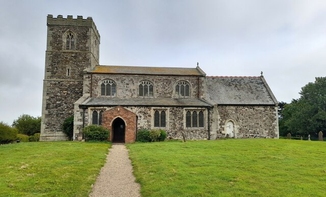
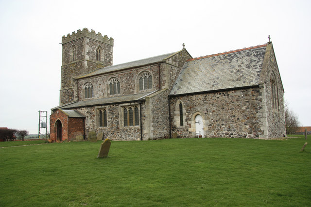
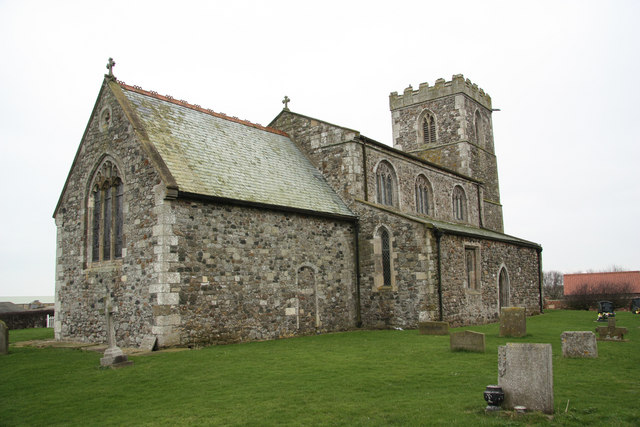
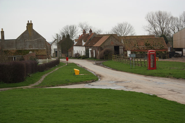
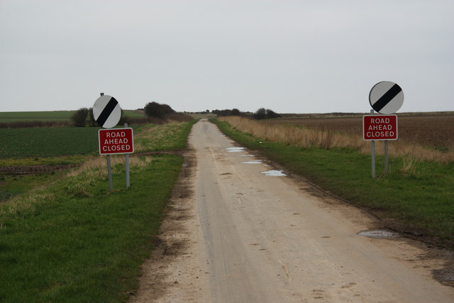
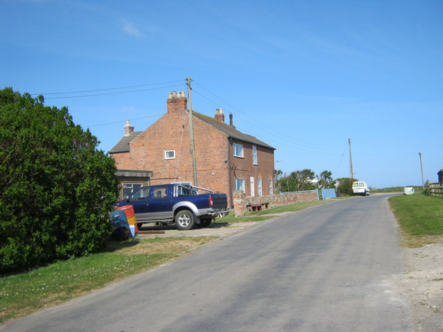
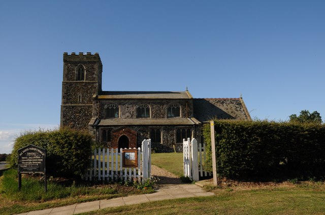
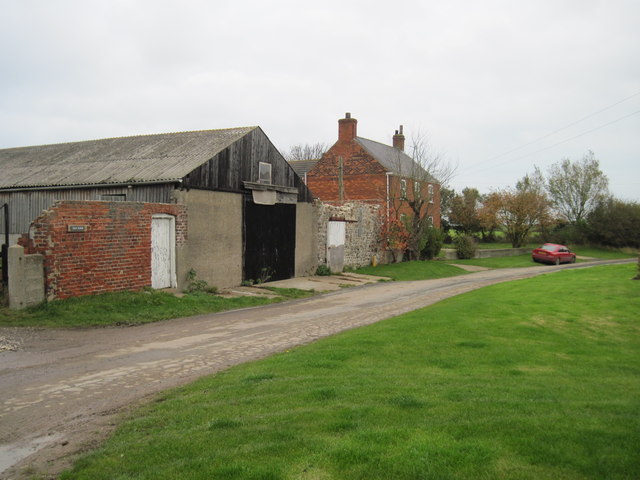
Round Close Plantation Images

Images are sourced within 2km of 53.757182/-0.015219072 or Grid Reference TA3030. Thanks to Geograph Open Source API. All images are credited.

All Saints Church, Tunstall The church has a chancel, aisled nave and west tower. It is built of boulders with ashlar dressings, 13th-century but with 12th-century masonry in the chancel. There is herringbone masonry. Many walls in the village use cobbles in this way too.
All Saints Church, Tunstall
The church has a chancel, aisled nave and west tower. It is built of boulders with ashlar dressings, 13th-century but with 12th-century masonry in the chancel. There is herringbone masonry. Many walls in the village use cobbles in this way too.
All Saints' church Now just 580m from the North Sea, All Saints' church would have been several miles from the coast when the 13th century chancel was built. The nave and lower stages of the tower are 14th century with a 15th century crenelated top to the tower.
All Saints' church
Now just 580m from the North Sea, All Saints' church would have been several miles from the coast when the 13th century chancel was built. The nave and lower stages of the tower are 14th century with a 15th century crenelated top to the tower.
Main Street Main Street in Tunstall from All Saints' churchyard
Main Street
Main Street in Tunstall from All Saints' churchyard
Pastures Lane Once the road from Tunstall to Monkwith, now lost to coastal erosion and the road ends abruptly over the cliff edge further on <a title="https://www.geograph.org.uk/photo/1257863" href="https://www.geograph.org.uk/photo/1257863">Link</a> hence the road closure
Pastures Lane
Once the road from Tunstall to Monkwith, now lost to coastal erosion and the road ends abruptly over the cliff edge further on Link hence the road closure
Tunstall cliffs Dramatic coastal erosion on the Holderness coast near Tunstall
Tunstall cliffs
Dramatic coastal erosion on the Holderness coast near Tunstall
Coastguard House Seaside Lane Tunstall
Farmers cliff top track to Waxholme
All Saints' Church All Saints' Church in the village of Tunstall, East Yorkshire, England.
All Saints' Church
All Saints' Church in the village of Tunstall, East Yorkshire, England.
Field  Track  from  Thirtle  Bridge  Lane
Field Track from Thirtle Bridge Lane
Thirtle  Bridge  and  Roos  Drain From Withernsea Road
Thirtle Bridge and Roos Drain
From Withernsea Road
Tunstall  Drain The beach is beyond the fields
Tunstall Drain
The beach is beyond the fields
A  Hill  in  Holderness From the footpath along Tunstall Drain, the fields rise up to Flagstaff House Farm, at 15 metres!
A Hill in Holderness
From the footpath along Tunstall Drain, the fields rise up to Flagstaff House Farm, at 15 metres!
Tractor  and  Trailer  at  Fishing  Boat  Launch  Area
Tractor and Trailer at Fishing Boat Launch Area
A  Guarded  Field Just one field from the beach is a WW2 Pill Box. Tunstall Drain is in the dip to the left
A Guarded Field
Just one field from the beach is a WW2 Pill Box. Tunstall Drain is in the dip to the left
Tunstall's  Crumbling  Cliff It is "no contest" a sedimentary cliff against the sea.
Tunstall's Crumbling Cliff
It is "no contest" a sedimentary cliff against the sea.
Tunstall  Beach  Notice  Board Of interest top right, The Greenwich Meridian Line first touches land here, in 2000 a Meridian Marker was placed on the cliff to commemorate it. Due to erosion it fell into the sea in 2003.
Tunstall Beach Notice Board
Of interest top right, The Greenwich Meridian Line first touches land here, in 2000 a Meridian Marker was placed on the cliff to commemorate it. Due to erosion it fell into the sea in 2003.
Kiln  Farm  Kilnhouse  Lane
Kiln Farm Kilnhouse Lane
Show me another place!

Round Close Plantation is located at Grid Ref: TA3030 (Lat: 53.757182, Lng: -0.015219072)

Division: East Riding

Unitary Authority: East Riding of Yorkshire

Police Authority: Humberside

What 3 Words

///charities.coach.culminate. Near Rimswell, East Yorkshire

Related Wikis

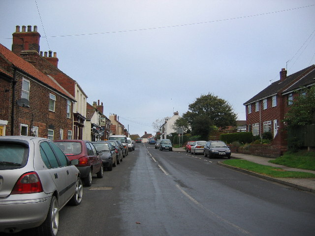
Tunstall, East Riding of Yorkshire

Tunstall is a village in the civil parish of Roos, in Holderness, in the East Riding of Yorkshire, England, close to the North Sea coast. It is situated...
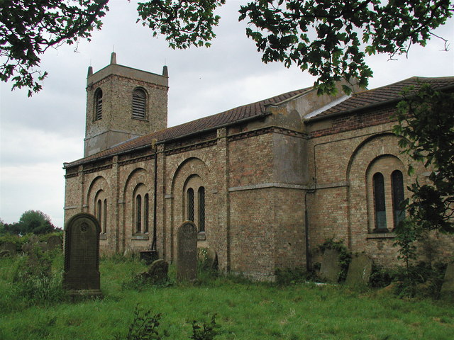
Roos

Roos is a village and civil parish in the East Riding of Yorkshire, England. It is situated 12 miles (19 km) east from Kingston upon Hull city centre and...

Waxholme

Waxholme is a hamlet in the civil parish of Rimswell, in the East Riding of Yorkshire, England. It is situated on the North Sea coast approximately 1 mile...

Rimswell

Rimswell is a village and civil parish in the East Riding of Yorkshire, England, in an area known as Holderness. It is situated approximately 2 miles...

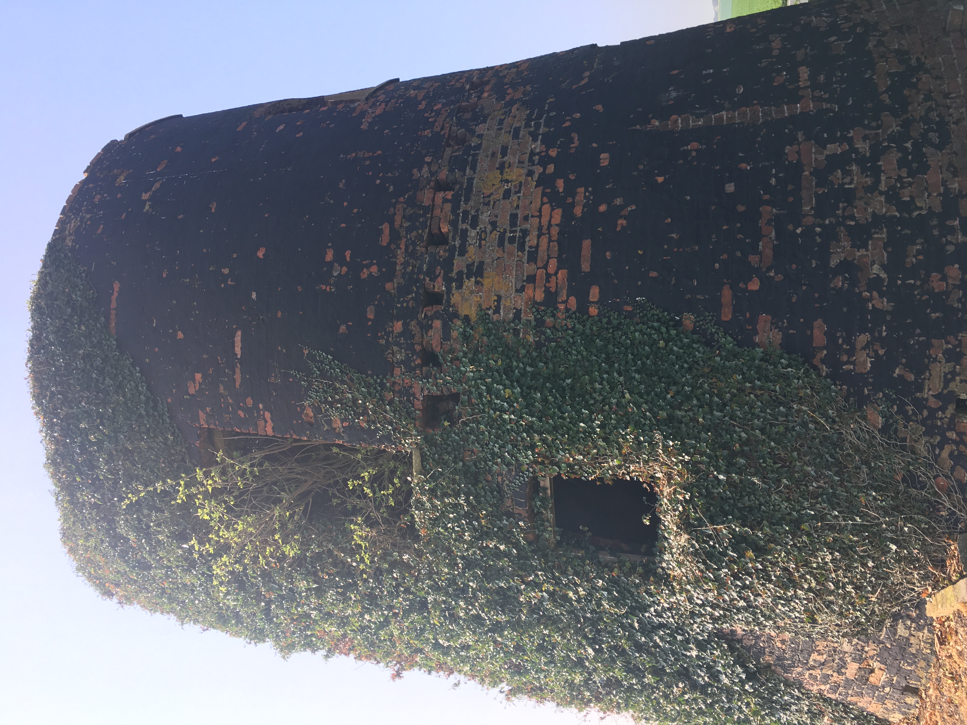
Black Mill, Waxholme

Black Mill, (or Owthorne Mill ), Waxholme, is a local landmark in the hamlet of Waxholme close to the town of Withernsea, East Riding of Yorkshire, England...

Owthorne

Owthorne is an area of the town of Withernsea, on the Holderness coast in the East Riding of Yorkshire, England. Owthorne was originally a separate town...
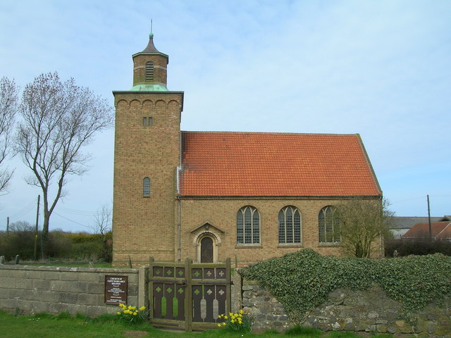
Hilston

Hilston is a village in the civil parish of Roos, in the East Riding of Yorkshire, England, near the North Sea coast in an area known as Holderness. It...

Withernsea High School

Withernsea High School is a coeducational secondary school located in Withernsea in the East Riding of Yorkshire, England.The school was officially opened...

Nearby Amenities

Located within 500m of 53.757182,-0.015219072
Telephone
Booth: K4 Post Office
Colour: red
Covered: booth
Listed Status: Grade II
Lat/Long: 53.7612936/-0.0132067
Post Box
Post Box Type: phone_box
Royal Cypher: GR
Royal Cypher Wikidata: Q33102273
Lat/Long: 53.7612637/-0.0132094
Mini Roundabout
Lat/Long: 53.7609197/-0.0151675
Turning Circle
Lat/Long: 53.7605039/-0.0130731
Crossing
Crossing: marked
Lat/Long: 53.7613939/-0.0130851
Turning Circle
Lat/Long: 53.760611/-0.0125516
The data included in this document is from www.openstreetmap.org. The data is made available under ODbL.

Have you been to Round Close Plantation?

Leave your review of Round Close Plantation below (or comments, questions and feedback).