Wellgrove Wood
Wood, Forest in Sussex Mid Sussex
England
Wellgrove Wood

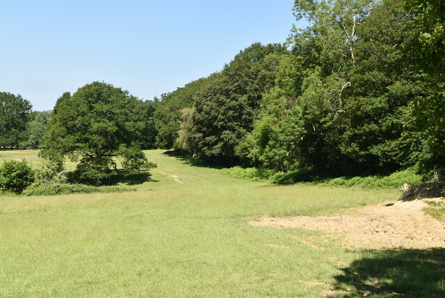
Wellgrove Wood is a picturesque forest located in Sussex, England. Covering an area of approximately 50 acres, the wood is a popular destination for nature lovers and outdoor enthusiasts. The forest is home to a diverse range of flora and fauna, including oak, beech, and chestnut trees, as well as a variety of wildlife such as deer, squirrels, and birds.
Visitors to Wellgrove Wood can enjoy peaceful walks along the well-maintained trails that wind through the forest, offering opportunities to observe the natural beauty of the area. The wood also features a small stream that meanders through the trees, adding to the tranquility of the surroundings.
Wellgrove Wood is managed by the Sussex Wildlife Trust, ensuring that the area is preserved and protected for future generations to enjoy. The trust works to maintain the biodiversity of the forest, implementing conservation efforts to protect the wildlife and natural habitats within the wood.
Overall, Wellgrove Wood is a tranquil and beautiful destination for those seeking to connect with nature and experience the peacefulness of a traditional English woodland.
If you have any feedback on the listing, please let us know in the comments section below.
Wellgrove Wood Images
Images are sourced within 2km of 51.065183/-0.14396745 or Grid Reference TQ3031. Thanks to Geograph Open Source API. All images are credited.


Wellgrove Wood is located at Grid Ref: TQ3031 (Lat: 51.065183, Lng: -0.14396745)
Administrative County: West Sussex
District: Mid Sussex
Police Authority: Sussex
What 3 Words
///snapping.indulgent.escapades. Near Balcombe, West Sussex
Nearby Locations
Related Wikis
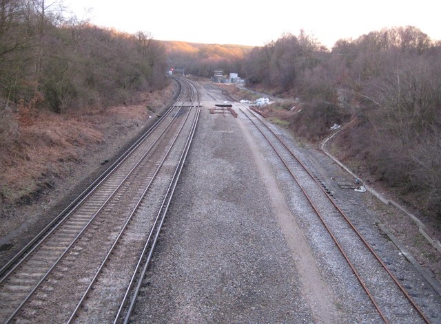
Balcombe tunnel
Balcombe tunnel is a railway tunnel on the Brighton Main Line through the Sussex Weald between Three Bridges and Balcombe. It is 1,034 metres (1,131 yards...
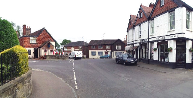
Balcombe
Balcombe is a village and civil parish in the Mid Sussex District of West Sussex, England. It lies 31 miles (50 km) south of London, 16 miles (26 km) north...

Balcombe railway station
Balcombe railway station is on the Brighton Main Line in England, serving the village of Balcombe, West Sussex. It is 33 miles 64 chains (54.4 km) down...

Brantridge Park
Brantridge Park, Balcombe, West Sussex, England is a 19th-century country house, formerly one of the lesser royal residences. It is a Grade II listed building...
Nearby Amenities
Located within 500m of 51.065183,-0.14396745Have you been to Wellgrove Wood?
Leave your review of Wellgrove Wood below (or comments, questions and feedback).