Blackcorner Wood

Wood, Forest in Sussex Crawley

England

Blackcorner Wood

M23 Junction 9 - Gatwick Airport Spur Road, West Sussex Viewed from a bridleway bridge just to the south, looking N.
M23 Junction 9 - Gatwick Airport Spur Road, West Sussex Credit: Pete Chapman

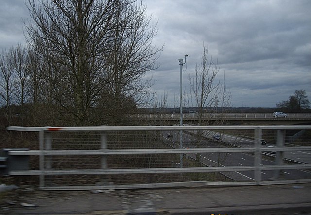
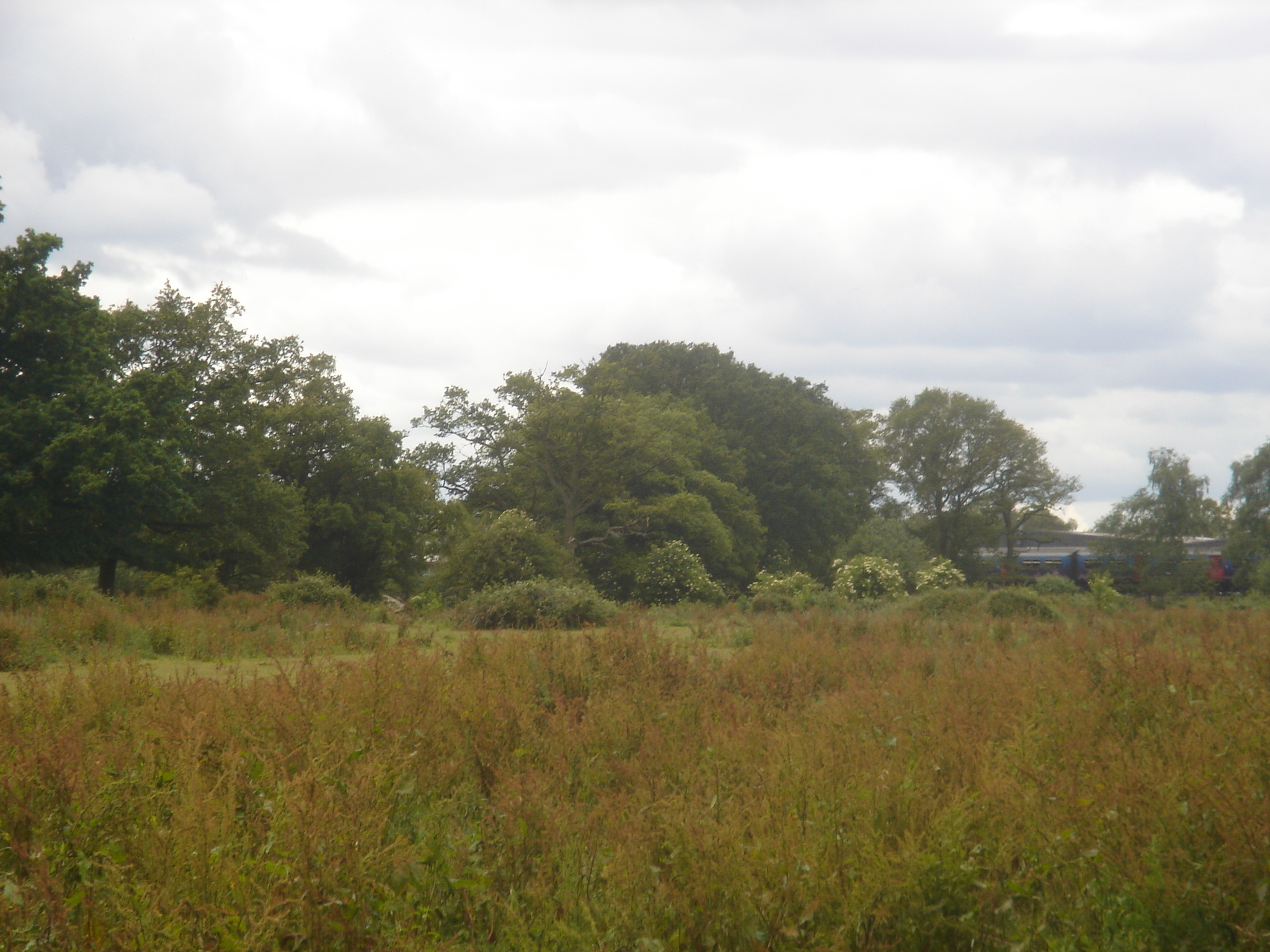
Blackcorner Wood is a picturesque woodland located in Sussex, England. Covering an area of approximately 50 acres, it is nestled within the rolling hills and scenic landscapes of the South Downs National Park. The wood is predominantly composed of native broadleaf trees such as oak, beech, and ash, which create a dense canopy that provides shade and shelter for a variety of wildlife.

The wood is known for its tranquil and peaceful atmosphere, making it a popular destination for nature enthusiasts and walkers. A network of well-maintained footpaths and trails meander through the woodland, allowing visitors to explore the diverse flora and fauna that inhabit the area. Bluebells carpet the forest floor in spring, creating a beautiful and vibrant display of color.

Blackcorner Wood is also home to a rich diversity of wildlife. Deer, foxes, and badgers are often spotted roaming the forest, while a wide range of bird species can be observed throughout the year. The wood provides an important habitat for many endangered and protected species, including bats and several species of butterflies.

The management of Blackcorner Wood is overseen by local conservation organizations, who work tirelessly to maintain the woodland's ecological balance and protect its natural beauty. This includes selective tree thinning and invasive species control to promote the growth of native plants and ensure the long-term sustainability of the wood.

Overall, Blackcorner Wood is a hidden gem in Sussex, offering visitors a chance to immerse themselves in the beauty of nature and enjoy the peace and tranquility of this enchanting woodland.

If you have any feedback on the listing, please let us know in the comments section below.

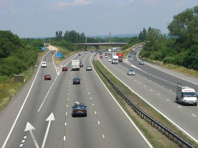
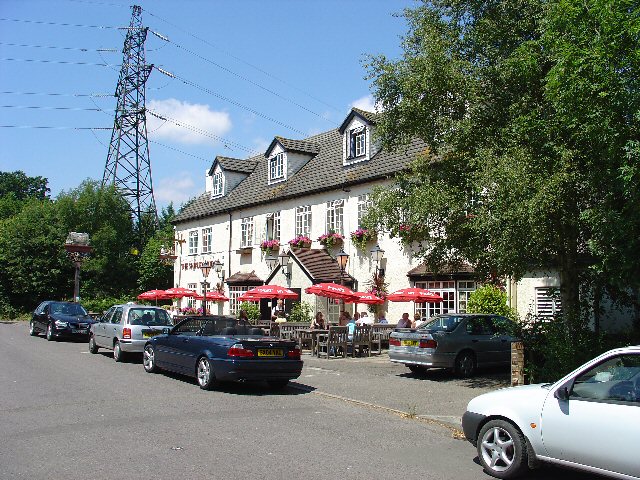
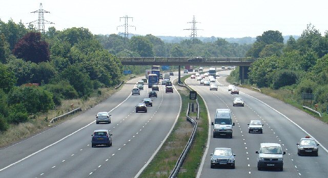
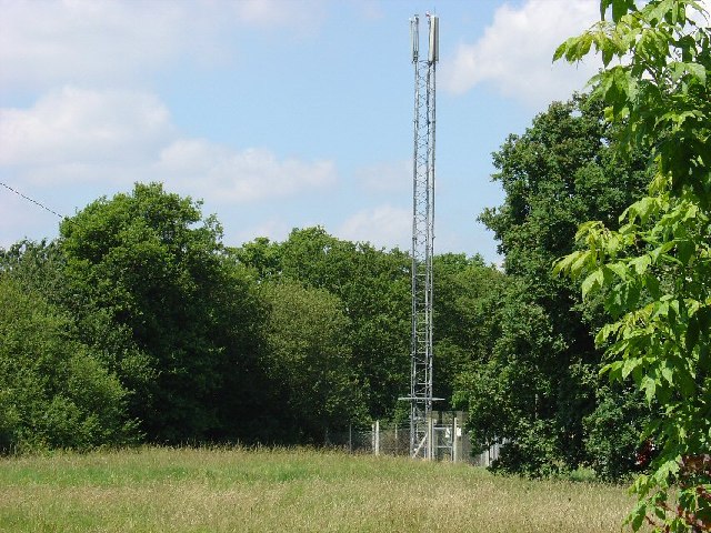
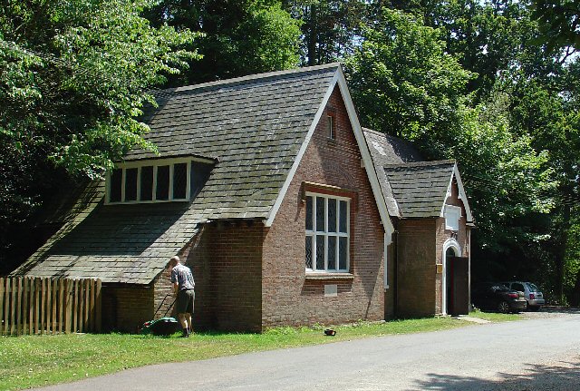
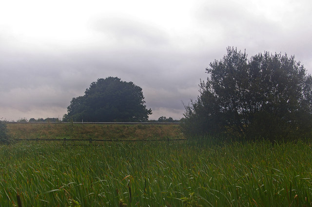
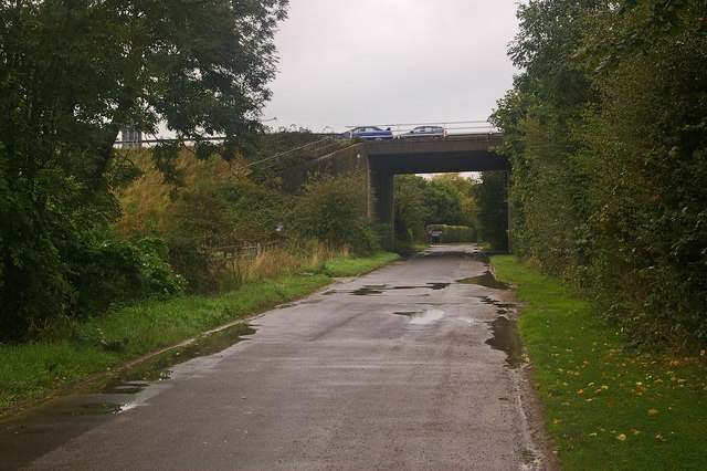
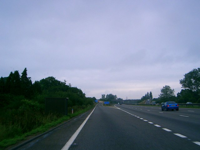
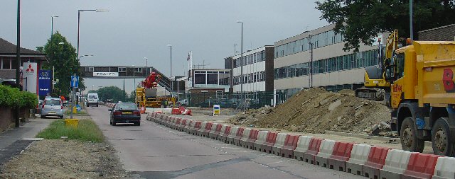
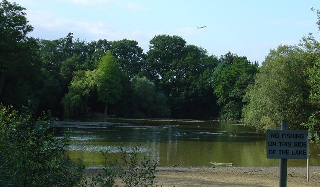
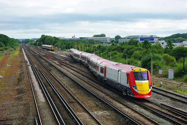
Blackcorner Wood Images

Images are sourced within 2km of 51.14248/-0.14577245 or Grid Reference TQ2939. Thanks to Geograph Open Source API. All images are credited.

M23 Junction 9 - Gatwick Airport Spur Road, West Sussex Viewed from a bridleway bridge just to the south, looking N.
M23 Junction 9 - Gatwick Airport Spur Road, West Sussex
Viewed from a bridleway bridge just to the south, looking N.
The Shipley Bridge Pub, Shipley Bridge, Surrey A country pub with a large pub garden. View taken from E looking W. Popular on this Friday lunchtime.
The Shipley Bridge Pub, Shipley Bridge, Surrey
A country pub with a large pub garden. View taken from E looking W. Popular on this Friday lunchtime.
Motorway Bridge of B2037 over M23, Shipley Bridge, Surrey View taken from Bridleway bridge to the N, looking S. The Shipley Bridge Pub is very close to this bridge.
Motorway Bridge of B2037 over M23, Shipley Bridge, Surrey
View taken from Bridleway bridge to the N, looking S. The Shipley Bridge Pub is very close to this bridge.
Telephone Mast near M23 Junction 9, Near Burstow, Surrey. This is situated in a field just N of a bridleway leading to Burstow. View taken looking N from the bridleway.
Telephone Mast near M23 Junction 9, Near Burstow, Surrey.
This is situated in a field just N of a bridleway leading to Burstow. View taken looking N from the bridleway.
The John Flamsteed Hall, Burstow Church, Burstow, Surrey Just over the road from the church. A plaque over the door states that the building was erected in 1859.
The John Flamsteed Hall, Burstow Church, Burstow, Surrey
Just over the road from the church. A plaque over the door states that the building was erected in 1859.
Boundary meeting point The far side of this balancing pond, at the foot of the M23 Gatwick Spur (the crash barriers of which can be seen across the middle of the photo), is the meeting point of Tandridge District and Reigate and Banstead District (both in Surrey) and West Sussex.  The motorway is in West Sussex, most of the foreground is in Reigate and Banstead and a thin sliver of land at the base of the embankment, running from the left hand side of the photo to a point in the centre, is in Tandridge.  Older maps show the Surrey/West Sussex border running south from this point, which subsequently got shifted to the main M23.  But the district boundaries appear to have remained unchanged, which would seem to explain the thin triangle of Tandridge shown on the map.  Viewed on a very gloomy Sunday morning.
Boundary meeting point
The far side of this balancing pond, at the foot of the M23 Gatwick Spur (the crash barriers of which can be seen across the middle of the photo), is the meeting point of Tandridge District and Reigate and Banstead District (both in Surrey) and West Sussex. The motorway is in West Sussex, most of the foreground is in Reigate and Banstead and a thin sliver of land at the base of the embankment, running from the left hand side of the photo to a point in the centre, is in Tandridge. Older maps show the Surrey/West Sussex border running south from this point, which subsequently got shifted to the main M23. But the district boundaries appear to have remained unchanged, which would seem to explain the thin triangle of Tandridge shown on the map. Viewed on a very gloomy Sunday morning.
Peeks Brook Lane Running under the M23 Gatwick Spur.
Peeks Brook Lane
Running under the M23 Gatwick Spur.
Joining the M23 Gatwick spur road from the Northbound M23 Front seat passenger's view
Joining the M23 Gatwick spur road from the Northbound M23
Front seat passenger's view
Access to Gatwick Airport from M23 Junction 9.
Access to Gatwick Airport from M23
Junction 9.
Police Parking? A not totally clear road sign for foreign visitors to Britain approaching their departure airport!
Police Parking?
A not totally clear road sign for foreign visitors to Britain approaching their departure airport!
M23 Motorway
M23 Motorway
Fly tipping on Church Lane Although a public bridleway, this part of the lane is vehicular access to several houses and commercial premises over the M23 bridge ahead. Composed largely of old brick rubble, this is not the sort of thing to run into when coming over the hump in the dark.
Fly tipping on Church Lane
Although a public bridleway, this part of the lane is vehicular access to several houses and commercial premises over the M23 bridge ahead. Composed largely of old brick rubble, this is not the sort of thing to run into when coming over the hump in the dark.
Burstow Stream at Church Lane The bridleway Church Lane crosses by a bridge with a stone "REBUILT 1909". A good job seems to have been done, although the underside was not inspected!
Burstow Stream at Church Lane
The bridleway Church Lane crosses by a bridge with a stone "REBUILT 1909". A good job seems to have been done, although the underside was not inspected!
Airborne above the M23 We have just taken off from Gatwick airport in the less usual easterly direction.  This was the day before most European airspace was closed for six days due to an ash cloud caused by a volcanic eruption in Iceland.
In the foreground we can see the minor road at Worth crossing the M23 and in the distance junction 10, which is in <a href="https://www.geograph.org.uk/gridref/TQ3038">TQ3038</a>
Airborne above the M23
We have just taken off from Gatwick airport in the less usual easterly direction. This was the day before most European airspace was closed for six days due to an ash cloud caused by a volcanic eruption in Iceland. In the foreground we can see the minor road at Worth crossing the M23 and in the distance junction 10, which is in TQ3038
The Shipley Bridge Inn, Shipley Bridge, Surrey
Gatwick Beehive Original 1930s Circular Airport Terminal. The airport was re-built approximately 1/2 mile to the north in the 1950s. The "Beehive" is now used as offices
Gatwick Beehive
Original 1930s Circular Airport Terminal. The airport was re-built approximately 1/2 mile to the north in the 1950s. The "Beehive" is now used as offices
Gatwick Road, Manor Royal Industrial Estate, Crawley, West Sussex The Manor Royal industrial estate is centred on TQ2738, but also spreads over about a third of this grid square. A feature here is the bridge over the main road linking two buildings belonging to the same organisation. The road building works are connected with the installation of the "Fastway" guided bus network throughout Crawley.
Gatwick Road, Manor Royal Industrial Estate, Crawley, West Sussex
The Manor Royal industrial estate is centred on TQ2738, but also spreads over about a third of this grid square. A feature here is the bridge over the main road linking two buildings belonging to the same organisation. The road building works are connected with the installation of the "Fastway" guided bus network throughout Crawley.
Milton Mount Lake, Pound Hill, Crawley, West Sussex Milton Mount Lake was once in the grounds of the Worth Park country estate. The estate was absorbed into the residential neighbourhood of Pound Hill and built upon. In the background, it is just possible to see an aircraft that has just taken off from Gatwick airport. The E end of the runway is 2km north of here. Aircraft taking off would not normally be seen from here, as they usually take off into the West (against the prevailing wind). The wind on this day was from the east.
Milton Mount Lake, Pound Hill, Crawley, West Sussex
Milton Mount Lake was once in the grounds of the Worth Park country estate. The estate was absorbed into the residential neighbourhood of Pound Hill and built upon. In the background, it is just possible to see an aircraft that has just taken off from Gatwick airport. The E end of the runway is 2km north of here. Aircraft taking off would not normally be seen from here, as they usually take off into the West (against the prevailing wind). The wind on this day was from the east.
Show me another place!

Blackcorner Wood is located at Grid Ref: TQ2939 (Lat: 51.14248, Lng: -0.14577245)

Administrative County: West Sussex

District: Crawley

Police Authority: Sussex

What 3 Words

///guitar.charge.grades. Near Copthorne, West Sussex

Related Wikis

Tinsley Green, West Sussex

Tinsley Green is an area in the Borough of Crawley, one of seven local government districts in the English county of West Sussex. Originally a hamlet...

Forge Wood

Forge Wood (under construction and semi-occupied, but scheduled for completion in 2026) is the 14th residential neighbourhood in Crawley, a town and borough...

Pound Hill & Worth (electoral division)

Pound Hill & Worth is an electoral division of West Sussex in England, and returns one member to sit on West Sussex County Council. == Extent == The division...

City Place Gatwick

City Place Gatwick is an office complex located on the property of London Gatwick Airport in Crawley, West Sussex, England. The complex includes four buildings...

Beehive, Gatwick Airport

The Beehive is the original terminal building at Gatwick Airport, England. Opened in 1936, it became obsolete in the 1950s as the airport expanded. In...

Gatwick Airport Up sidings

Gatwick Airport Up sidings are located near London Gatwick Airport, Crawley, England, situated on the Brighton Main Line south of Gatwick Airport station...

The Gatwick School

The Gatwick School is an all-through free school located on the Manor Royal estate, on the northern outskirts of Crawley, just south of the Gatwick Airport...

Ariana Afghan Airlines Flight 701

Ariana Afghan Airlines Flight 701 was the flight involved in a fatal air accident on 5 January 1969, when a Boeing 727 with 62 people on board crashed...

Nearby Amenities

Located within 500m of 51.14248,-0.14577245
Traffic Signals
Traffic Signals Direction: forward
Lat/Long: 51.1401474/-0.1508183
Power: tower
Lat/Long: 51.1421039/-0.1387302
Pub
The Parsons Pig
Outdoor Seating: yes
Smoking: outside
Lat/Long: 51.1434106/-0.1463925
Traffic Signals
Traffic Signals Direction: backward
Lat/Long: 51.1387018/-0.1470888
Crossing
Bicycle: no
Crossing: traffic_signals
Crossing Island: yes
Crossing Ref: puffin
Kerb: lowered
Tactile Paving: yes
Lat/Long: 51.1401194/-0.1512678
Post Box
Collection Times: Mo-Fr 09:00; Sa 07:00
Operator: Royal Mail
Operator Wikidata: Q638098
Post Box Type: lamp
Ref: RH10 7D
Royal Cypher: EIIR
Royal Cypher Wikidata: Q33102113
Lat/Long: 51.1444677/-0.1457271
Crossing
Bicycle: yes
Crossing: traffic_signals
Crossing Island: yes
Crossing Ref: toucan
Kerb: lowered
Tactile Paving: yes
Lat/Long: 51.1387384/-0.1470981
Traffic Signals
Traffic Signals Direction: forward
Lat/Long: 51.1388968/-0.1471205
Traffic Signals
Traffic Signals Direction: backward
Lat/Long: 51.1388379/-0.1472989
Traffic Signals
Traffic Signals Direction: backward
Lat/Long: 51.14009/-0.1513128
Traffic Signals
Traffic Signals Direction: backward
Lat/Long: 51.1403567/-0.1512954
Traffic Signals
Lat/Long: 51.14038/-0.1509262
Crossing
Lat/Long: 51.1403683/-0.1513166
Crossing
Lat/Long: 51.1401245/-0.1507579
Leisure: picnic_table
Lat/Long: 51.1382106/-0.1442687
Addr City: Crawley
Addr Flats: 1-6
Addr Housename: Topaz House
Addr Postcode: RH10 3FX
Addr Street: Tulip Close
Entrance: staircase
Lat/Long: 51.1388704/-0.143086
Addr City: Crawley
Addr Flats: 1-6
Addr Housename: Topaz House
Addr Postcode: RH10 3FX
Addr Street: Tulip Close
Entrance: staircase
Lat/Long: 51.1388595/-0.1429362
Addr City: Crawley
Addr Flats: 7-12
Addr Housename: Topaz House
Addr Postcode: RH10 3YD
Addr Street: Beryl Close
Entrance: staircase
Lat/Long: 51.1390245/-0.1428597
Addr City: Crawley
Addr Flats: 1-6
Addr Housename: Clematis House
Addr Postcode: RH10 3FX
Addr Street: Tulip Close
Entrance: staircase
Lat/Long: 51.1388198/-0.1423382
Addr City: Crawley
Addr Flats: 7-12
Addr Housename: Clematis House
Addr Postcode: RH10 3YD
Addr Street: Beryl Close
Entrance: staircase
Lat/Long: 51.1389867/-0.1423467
Addr City: Crawley
Addr Flats: 1-6
Addr Housename: Clematis House
Addr Postcode: RH10 3FX
Addr Street: Tulip Close
Entrance: staircase
Lat/Long: 51.1388056/-0.1421878
Bicycle Parking
Lat/Long: 51.1385484/-0.1431435
Addr Flats: 1-6
Entrance: staircase
Lat/Long: 51.1391854/-0.1420985
Addr Flats: 1-6
Entrance: staircase
Lat/Long: 51.1391976/-0.1422313
Forge Wood Unity Cricket Club
Club: sport
Sport: cricket
Website: https://forgewoodcc.play-cricket.com/
Lat/Long: 51.1384075/-0.1433671
Entrance: staircase
Lat/Long: 51.1381908/-0.1461611
Entrance: staircase
Lat/Long: 51.1382848/-0.1461613
Addr Flats: 1-6
Entrance: staircase
Lat/Long: 51.1381485/-0.1457787
Addr Flats: 1-6
Entrance: staircase
Lat/Long: 51.1380927/-0.1456607
Addr Flats: 7-12
Entrance: staircase
Lat/Long: 51.1381631/-0.1455064
Addr Flats: 7-12
Entrance: staircase
Lat/Long: 51.1380597/-0.1450473
Crossing
Crossing: traffic_signals
Lat/Long: 51.1404172/-0.1508831
The data included in this document is from www.openstreetmap.org. The data is made available under ODbL.

Have you been to Blackcorner Wood?

Leave your review of Blackcorner Wood below (or comments, questions and feedback).