Patrick's Plantation
Wood, Forest in Lincolnshire East Lindsey
England
Patrick's Plantation
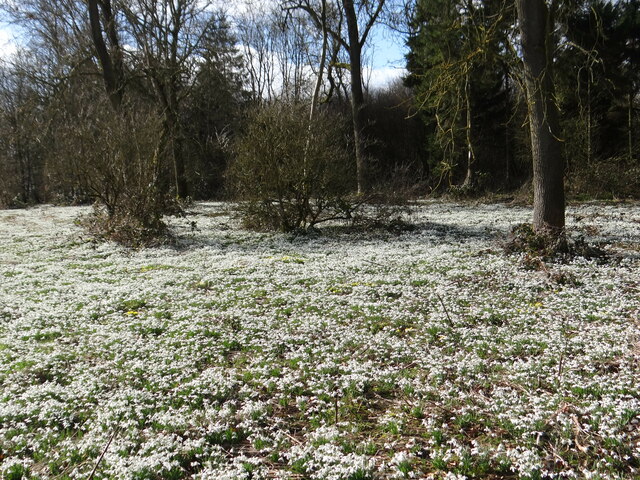
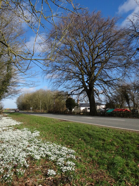
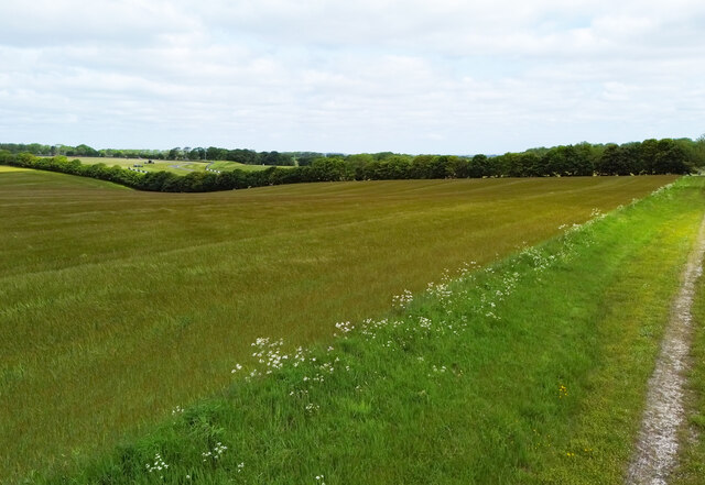
Patrick's Plantation is a picturesque woodland area located in the county of Lincolnshire, England. Situated in the heart of the region, this plantation covers a vast area of lush greenery and is known for its diverse ecosystem and scenic beauty. The plantation is named after its original owner, Patrick, who established it several decades ago.
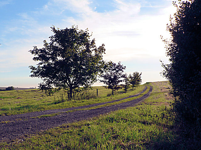
The woodland is primarily made up of a variety of trees, including oak, beech, and pine, which create a dense canopy overhead. The undergrowth is rich with ferns, wildflowers, and moss, adding to the enchanting atmosphere of the plantation. The forest floor is covered in a carpet of fallen leaves and twigs, giving visitors a sense of tranquility as they explore the area.
One of the notable features of Patrick's Plantation is its well-maintained network of walking trails that wind through the woods. These trails offer visitors the opportunity to immerse themselves in nature and spot local wildlife such as squirrels, rabbits, and various bird species. The plantation is also home to a small lake, which further enhances the natural beauty of the area.
Patrick's Plantation attracts nature enthusiasts, hikers, and families throughout the year who come to enjoy the peaceful surroundings and engage in outdoor activities. The plantation is open to the public and offers amenities such as picnic areas and benches, allowing visitors to relax and fully appreciate the beauty of the woodland.
Overall, Patrick's Plantation in Lincolnshire is a haven for those seeking solace in nature. Its diverse flora and fauna, well-maintained trails, and serene ambiance make it a must-visit destination for anyone looking to connect with the natural wonders of the region.
If you have any feedback on the listing, please let us know in the comments section below.
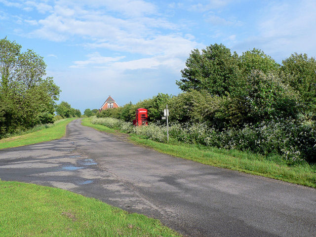
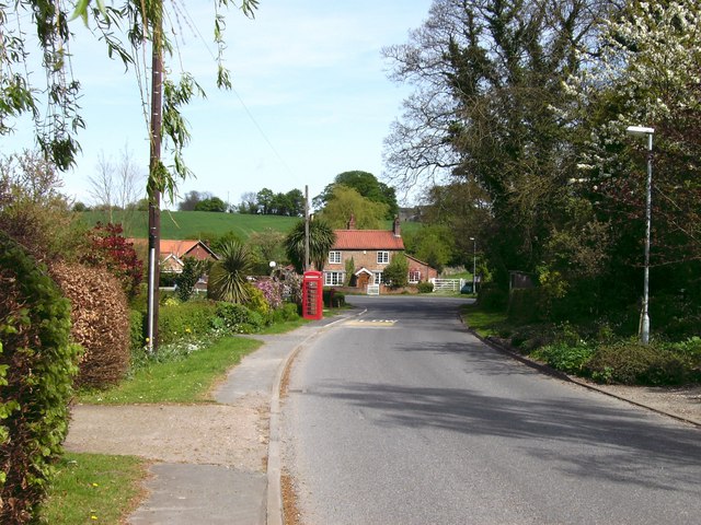
Patrick's Plantation Images
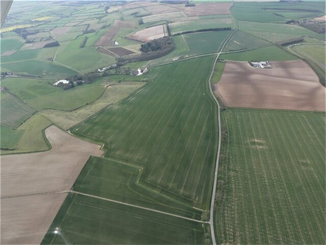
Images are sourced within 2km of 53.31067/-0.053947721 or Grid Reference TF2981. Thanks to Geograph Open Source API. All images are credited.


Patrick's Plantation is located at Grid Ref: TF2981 (Lat: 53.31067, Lng: -0.053947721)
Administrative County: Lincolnshire
District: East Lindsey
Police Authority: Lincolnshire
What 3 Words
///life.producers.quicksand. Near Burwell, Lincolnshire
Nearby Locations
Related Wikis

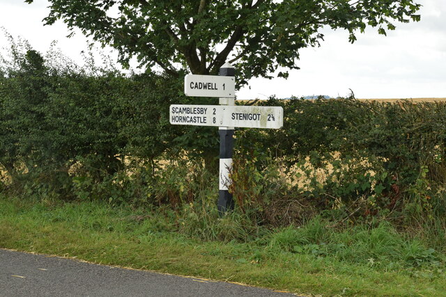
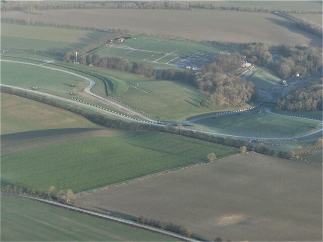
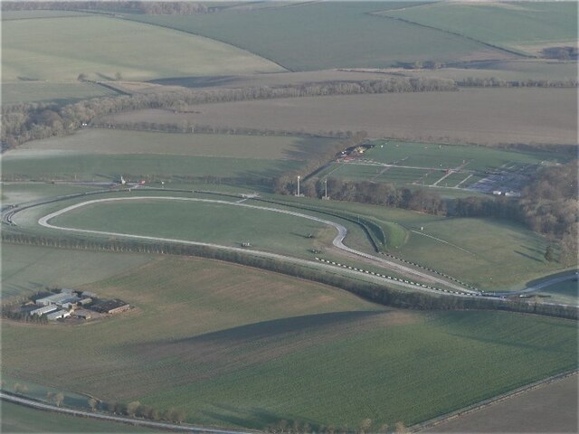
Cadwell Park
Cadwell Park is a motor racing circuit in Lincolnshire, England, 5 mi (8.0 km) south of Louth, owned and operated by MotorSport Vision, a business associated...
Cawkwell
Cawkwell is a hamlet and former civil parish, now in the parish of Scamblesby, in the East Lindsey district of Lincolnshire, England. It is situated approximately...
Maidenwell, Lincolnshire
Maidenwell is a village and civil parish in the East Lindsey district of Lincolnshire, England. The village is 6 miles (10 km) south from Louth. Maidenwell...
Tathwell
Tathwell is a village in the East Lindsey district of Lincolnshire, England. Tathwell is situated approximately 3 miles (5 km) south from the market town...

Withcall railway station
Withcall railway station was a station in Withcall, Lincolnshire, England. == History == The Great Northern Railway planned and built a branch line from...

Withcall
Withcall is a small farming village and civil parish in the East Lindsey district of Lincolnshire, England. It lies within the Lincolnshire Wolds, and...

Scamblesby
Scamblesby is a village and civil parish in the East Lindsey district from Lincolnshire, England. It is situated 6 miles (10 km) south-west from Louth...

Farforth
Farforth or Farforth-cum-Maidenwell is a hamlet in the East Lindsey district of Lincolnshire, England. It is in the civil parish of Maidenwell, and approximately...
Nearby Amenities
Located within 500m of 53.31067,-0.053947721Have you been to Patrick's Plantation?
Leave your review of Patrick's Plantation below (or comments, questions and feedback).