Avenue Plantation
Wood, Forest in Lincolnshire East Lindsey
England
Avenue Plantation
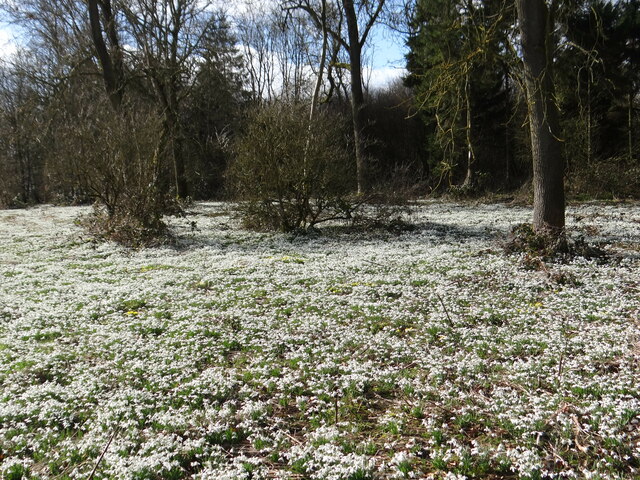
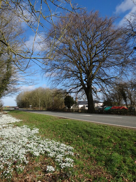
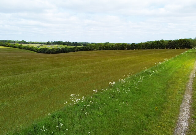
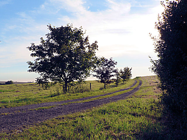
Avenue Plantation, located in Lincolnshire, is a picturesque woodland area known for its natural beauty and serene environment. Nestled amidst the vibrant landscape of Lincolnshire, this plantation offers a refreshing escape from the hustle and bustle of city life.
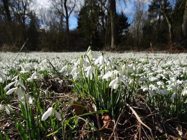
Covering a vast expanse, Avenue Plantation is characterized by a dense forest of various tree species, including oak, ash, and birch. The woodland is carefully managed to maintain its ecological balance while providing an enchanting setting for visitors to explore and enjoy. The plantation's well-maintained pathways and trails offer easy access for nature enthusiasts and hikers to immerse themselves in the tranquil surroundings.
Avenue Plantation is also home to a diverse range of wildlife, making it a haven for nature lovers and birdwatchers. The woodland provides a habitat for various bird species, including woodpeckers, owls, and robins. Visitors may also spot small mammals, such as squirrels and foxes, as they traverse through the forest.
In addition to its natural wonders, Avenue Plantation offers a range of recreational activities for visitors. Picnic areas and benches are scattered throughout the woodland, providing the perfect spot to relax and enjoy a meal amidst nature. The plantation is also a popular destination for photography enthusiasts, who are drawn to its captivating scenery and abundant wildlife.
Overall, Avenue Plantation in Lincolnshire is a captivating woodland retreat that offers a peaceful respite for those seeking solace in nature. With its diverse flora and fauna, well-maintained trails, and ample recreational opportunities, this plantation is a hidden gem waiting to be explored.
If you have any feedback on the listing, please let us know in the comments section below.
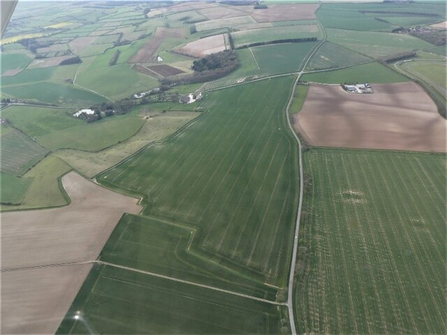
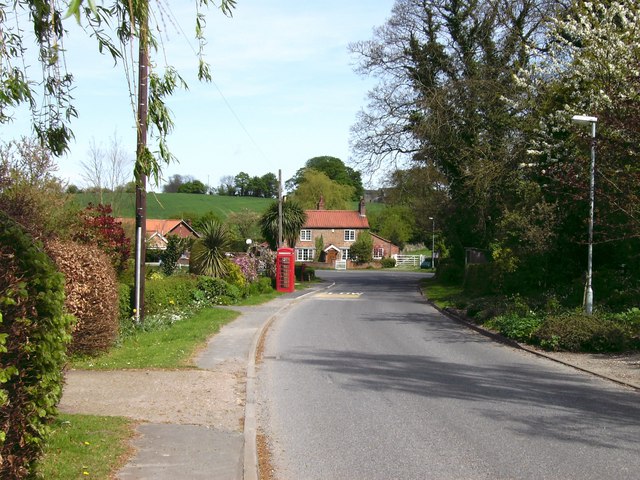
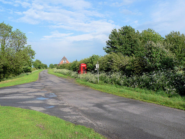
Avenue Plantation Images
Images are sourced within 2km of 53.311216/-0.057120219 or Grid Reference TF2981. Thanks to Geograph Open Source API. All images are credited.


Avenue Plantation is located at Grid Ref: TF2981 (Lat: 53.311216, Lng: -0.057120219)
Administrative County: Lincolnshire
District: East Lindsey
Police Authority: Lincolnshire
What 3 Words
///grasp.village.gross. Near Burwell, Lincolnshire
Nearby Locations
Related Wikis

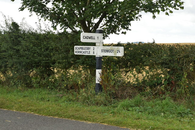
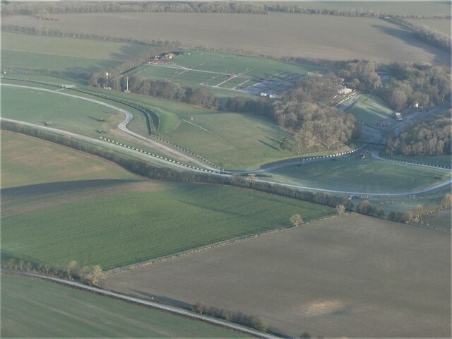
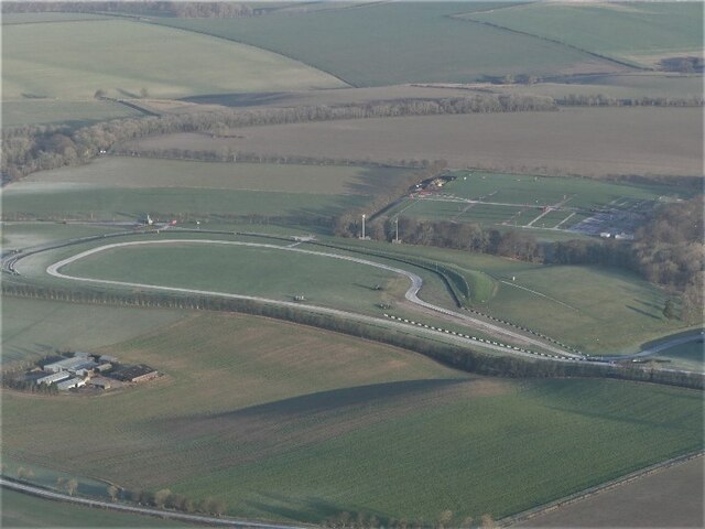
Cadwell Park
Cadwell Park is a motor racing circuit in Lincolnshire, England, 5 mi (8.0 km) south of Louth, owned and operated by MotorSport Vision, a business associated...
Cawkwell
Cawkwell is a hamlet and former civil parish, now in the parish of Scamblesby, in the East Lindsey district of Lincolnshire, England. It is situated approximately...

Withcall railway station
Withcall railway station was a station in Withcall, Lincolnshire, England. == History == The Great Northern Railway planned and built a branch line from...

Withcall
Withcall is a small farming village and civil parish in the East Lindsey district of Lincolnshire, England. It lies within the Lincolnshire Wolds, and...

Scamblesby
Scamblesby is a village and civil parish in the East Lindsey district from Lincolnshire, England. It is situated 6 miles (10 km) south-west from Louth...
Tathwell
Tathwell is a village in the East Lindsey district of Lincolnshire, England. Tathwell is situated approximately 3 miles (5 km) south from the market town...
Maidenwell, Lincolnshire
Maidenwell is a village and civil parish in the East Lindsey district of Lincolnshire, England. The village is 6 miles (10 km) south from Louth. Maidenwell...

Maltby, Lincolnshire
Maltby is a hamlet in the East Lindsey district of Lincolnshire, England. It forms part of Raithby cum Maltby civil parish, and is situated on the A153...
Nearby Amenities
Located within 500m of 53.311216,-0.057120219Have you been to Avenue Plantation?
Leave your review of Avenue Plantation below (or comments, questions and feedback).