Cattlegate Wood

Wood, Forest in Hertfordshire Welwyn Hatfield

England

Cattlegate Wood

Northaw Road West
Northaw Road West Credit: David Howard

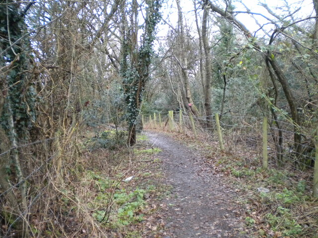
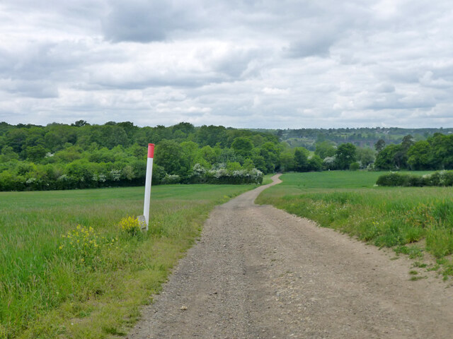
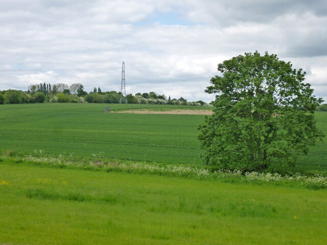
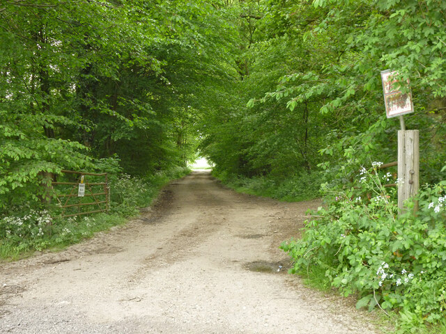
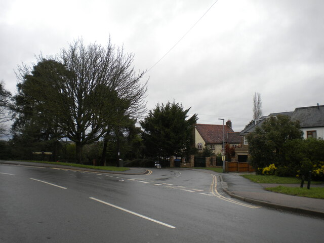
Cattlegate Wood is a picturesque woodland located in the county of Hertfordshire, England. Covering an area of approximately 60 hectares, it is a popular destination for nature lovers and outdoor enthusiasts. The wood is situated near the village of Cuffley, just a short distance from the bustling town of Potters Bar.

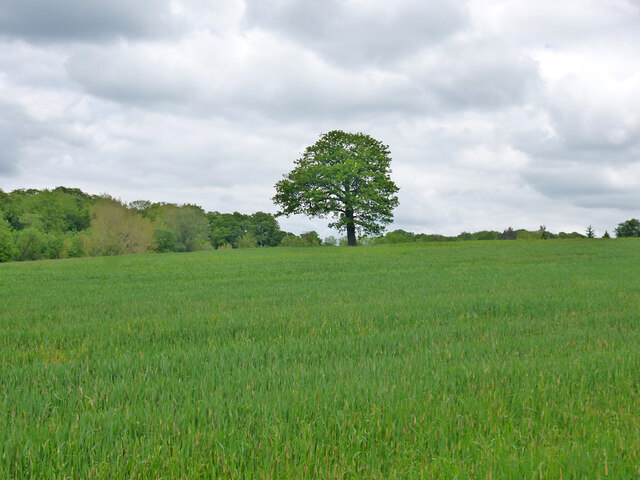
The woodland is predominantly made up of broadleaf trees, including oak, beech, and birch, which create a diverse and vibrant ecosystem. These trees provide a canopy overhead, offering shade and shelter for a variety of wildlife species. Visitors to Cattlegate Wood can expect to see an array of birds, such as woodpeckers, buzzards, and owls, as well as small mammals like foxes and squirrels.

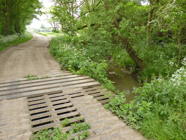
The wood is crisscrossed by a network of well-maintained footpaths and trails, making it an ideal location for walking, jogging, or cycling. The tranquil atmosphere and peaceful surroundings also make it a popular spot for picnicking or simply enjoying the beauty of nature.

Additionally, Cattlegate Wood is a designated Site of Special Scientific Interest (SSSI) due to its rich biodiversity. It boasts a diverse range of plant species, including bluebells, wild garlic, and primroses, which create stunning displays of color during springtime.

Overall, Cattlegate Wood offers a tranquil and immersive experience for visitors, providing a haven of natural beauty and a chance to connect with the great outdoors.

If you have any feedback on the listing, please let us know in the comments section below.

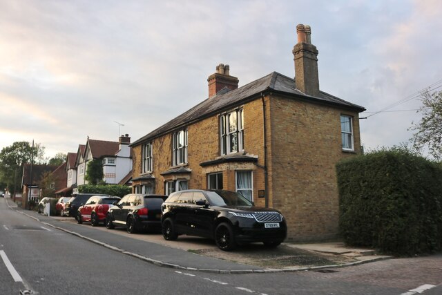
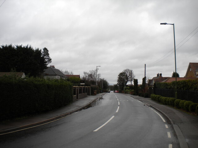
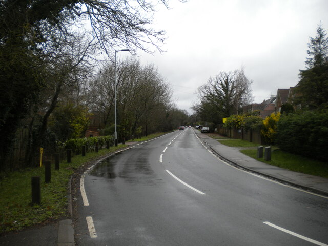
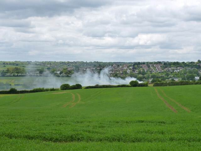
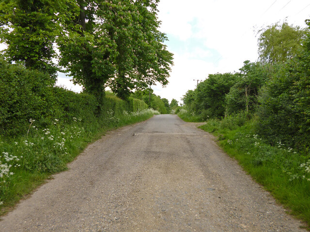
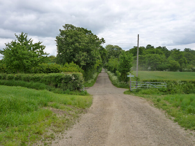
Cattlegate Wood Images

Images are sourced within 2km of 51.694345/-0.12570571 or Grid Reference TL2901. Thanks to Geograph Open Source API. All images are credited.

Northaw Road West
Northaw Road West
East Ridgeway, Cuffley
The Ridgeway, Cuffley (1)
Public footpath off The Ridgeway, Cuffley Part of the Hertfordshire Way.
Public footpath off The Ridgeway, Cuffley
Part of the Hertfordshire Way.
Clockwise M25, Enfield Officially named the London Orbital and frequently derided as nothing more than a very big car park, the M25 is a 117-mile orbital motorway that encircles London; one of the world's biggest ring roads (Europe's second longest orbital road after the Berliner Ring, which is 122 miles). It is not, however, a continuous loop of motorway as the Dartford Crossing section (comprising the Dartford Tunnels and the Queen Elizabeth II Bridge) over the Thames and its approach roads are designated as the A282. 

Constructed between 1975 and 1986, the M25 is reputedly the most expensive motorway Britain ever built, costing a total of £909m or roughly £7.5m per mile, but at the time of its planning, the demand for the road was considerably underestimated so that when it was finally completed in 1986, it was already out of date. Demand outstripped capacity within a few years and ever since then it's been very heavily congested. 

The M25 is one of the UK’s busiest motorways, carrying up to 200,000 vehicles and 10,000 HGVs per day (AADT - Annual Average Daily Traffic flow) on the section near to Heathrow Airport. Since its opening in the 1980s, the southern, western and eastern sections have been widened to largely dual four lane (D4M) standard, but much of the motorway retains its dual three lane road (D3M) cross-section as originally built. 

The M25 was home to England's first Variable Speed Limits on motorways between the A3 and M4 in the early 1990s.

<span class="nowrap"><a title="http://www.cbrd.co.uk/motorway/m25/" rel="nofollow ugc noopener" href="http://www.cbrd.co.uk/motorway/m25/">Link</a><img style="margin-left:2px;" alt="External link" title="External link - shift click to open in new window" src="https://s1.geograph.org.uk/img/external.png" width="10" height="10"/></span>  cbrd
<span class="nowrap"><a title="http://www.sabre-roads.org.uk/wiki/index.php?title=M25" rel="nofollow ugc noopener" href="http://www.sabre-roads.org.uk/wiki/index.php?title=M25">Link</a><img style="margin-left:2px;" alt="External link" title="External link - shift click to open in new window" src="https://s1.geograph.org.uk/img/external.png" width="10" height="10"/></span>  SABRE
Clockwise M25, Enfield
Officially named the London Orbital and frequently derided as nothing more than a very big car park, the M25 is a 117-mile orbital motorway that encircles London; one of the world's biggest ring roads (Europe's second longest orbital road after the Berliner Ring, which is 122 miles). It is not, however, a continuous loop of motorway as the Dartford Crossing section (comprising the Dartford Tunnels and the Queen Elizabeth II Bridge) over the Thames and its approach roads are designated as the A282. Constructed between 1975 and 1986, the M25 is reputedly the most expensive motorway Britain ever built, costing a total of £909m or roughly £7.5m per mile, but at the time of its planning, the demand for the road was considerably underestimated so that when it was finally completed in 1986, it was already out of date. Demand outstripped capacity within a few years and ever since then it's been very heavily congested. The M25 is one of the UK’s busiest motorways, carrying up to 200,000 vehicles and 10,000 HGVs per day (AADT - Annual Average Daily Traffic flow) on the section near to Heathrow Airport. Since its opening in the 1980s, the southern, western and eastern sections have been widened to largely dual four lane (D4M) standard, but much of the motorway retains its dual three lane road (D3M) cross-section as originally built. The M25 was home to England's first Variable Speed Limits on motorways between the A3 and M4 in the early 1990s. LinkExternal link cbrd LinkExternal link SABRE
Christmas scene in Cuffley
Fire down below But it appears to be agricultural and monitored, so everything is all right, isn't it?
Fire down below
But it appears to be agricultural and monitored, so everything is all right, isn't it?
Burnt Farm Ride The surface changes here, tarmac northwards, just 'mac' to the south.  Public bridleway Cheshunt 17.
Burnt Farm Ride
The surface changes here, tarmac northwards, just 'mac' to the south. Public bridleway Cheshunt 17.
Crossways south of Burnt Farm Burnt Farm Ride runs left and right, bridleway Cheshunt 17 to the left, bridleway Cheshunt 70 to the right. Straight on beyond the junction is bridleway Cheshunt 73. Viewed from footpath Cheshunt 59.
Crossways south of Burnt Farm
Burnt Farm Ride runs left and right, bridleway Cheshunt 17 to the left, bridleway Cheshunt 70 to the right. Straight on beyond the junction is bridleway Cheshunt 73. Viewed from footpath Cheshunt 59.
Farm track crosses gas pipeline The track is public footpath Cheshunt 59.
Farm track crosses gas pipeline
The track is public footpath Cheshunt 59.
Tree in field west of Burnt Farm
Bridge over Cuffley Brook A curious structure, looking like a cattle grid was incorporated in the bridge, and then there was a partial change of heart. Public footpath Cheshunt 59 crosses.
Bridge over Cuffley Brook
A curious structure, looking like a cattle grid was incorporated in the bridge, and then there was a partial change of heart. Public footpath Cheshunt 59 crosses.
Farmland north of Northaw Brook
Private track through Nursery Plantation
St Andrew's Church, Cuffley The Church of England establishment in the village. Seen from the end of Station Road.
St Andrew's Church, Cuffley
The Church of England establishment in the village. Seen from the end of Station Road.
Life Church, Cuffley Apparently an independent evangelical church. Seen from Plough Hill.
Life Church, Cuffley
Apparently an independent evangelical church. Seen from Plough Hill.
King James Avenue, Cuffley Off Plough Hill.
King James Avenue, Cuffley
Off Plough Hill.
South end of Hill Rise, Cuffley Off Plough Hill.
South end of Hill Rise, Cuffley
Off Plough Hill.
Show me another place!

Cattlegate Wood is located at Grid Ref: TL2901 (Lat: 51.694345, Lng: -0.12570571)

Administrative County: Hertfordshire

District: Welwyn Hatfield

Police Authority: Hertfordshire

What 3 Words

///pull.soil.hiding. Near Cuffley, Hertfordshire

Nearby Locations

Cattlegate Wood

Related Wikis

Northaw and Cuffley

Northaw and Cuffley is a civil parish in the Welwyn Hatfield borough of Hertfordshire, England. Located approximately 13.5 miles (21.7 km) north of central...

The Paddocks

The Paddocks, in Crews Hill, Enfield, London, is a farmhouse that is grade II* listed with Historic England. It dates from the first half of the seventeenth...

Crews Hill railway station

Crews Hill railway station serves Crews Hill in the London Borough of Enfield, north London. It is 11 miles 40 chains (11.50 miles, 18.51 km) down the...

Northaw

Northaw is a village in the Welwyn Hatfield district of Hertfordshire, England. It is part of the civil parish of Northaw and Cuffley (where at the 2011...

St John's Senior School

St. John's Prep and Senior School is an English all-through school, co-educational day school near the M25 motorway in The Ridgeway, Botany Bay, Enfield...

Cuffley railway station

Cuffley railway station serves the village of Cuffley in the Welwyn Hatfield district of Hertfordshire. It also serves other nearby settlements, namely...

Botany Bay, London

Botany Bay is a hamlet in Enfield, England, on the outskirts of north London, located within the London Borough of Enfield. It has a population close to...

Cuffley

Cuffley is a village in the civil parish of Northaw and Cuffley, in the Welwyn Hatfield district of south-east Hertfordshire located between Cheshunt and...

Nearby Amenities

Located within 500m of 51.694345,-0.12570571
Power: tower
Lat/Long: 51.6925334/-0.1315712
Power: tower
Lat/Long: 51.6905275/-0.1292809
Power: tower
Lat/Long: 51.6969013/-0.1231512
Power: tower
Lat/Long: 51.6914929/-0.1233365
Power: tower
Lat/Long: 51.6910397/-0.1261309
Post Box
Collection Times: Mo-Fr 16:30; Sa 11:30
Operator: Royal Mail
Post Box Type: lamp
Ref: EN6 105
Royal Cypher: EIIR
Royal Cypher Wikidata: Q33102113
Lat/Long: 51.6982718/-0.1230957
Power: tower
Lat/Long: 51.695133/-0.1265717
Cattlegate Cottages
Place: hamlet
Lat/Long: 51.6979894/-0.1230078
The data included in this document is from www.openstreetmap.org. The data is made available under ODbL.

Have you been to Cattlegate Wood?

Leave your review of Cattlegate Wood below (or comments, questions and feedback).