Bellowsnose Wood
Wood, Forest in Sussex Mid Sussex
England
Bellowsnose Wood
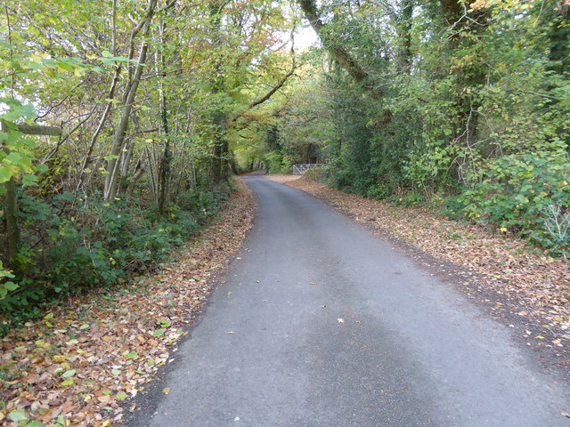
Bellowsnose Wood is a picturesque woodland located in Sussex, England. Covering an area of approximately 500 acres, it is renowned for its natural beauty and diverse wildlife. The wood is situated on the outskirts of a small village, providing a peaceful and tranquil environment for visitors to enjoy.
The wood is predominantly composed of deciduous trees, including oak, beech, and birch, which create a stunning display of vibrant colors during the autumn months. The dense canopy of the trees provides shade and shelters a rich variety of flora and fauna.
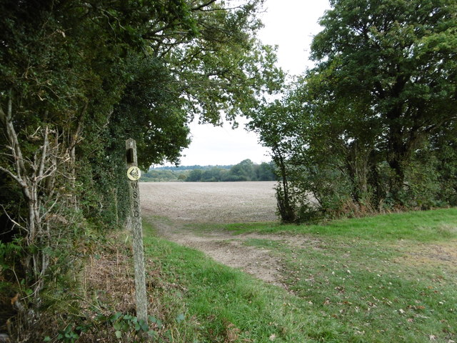
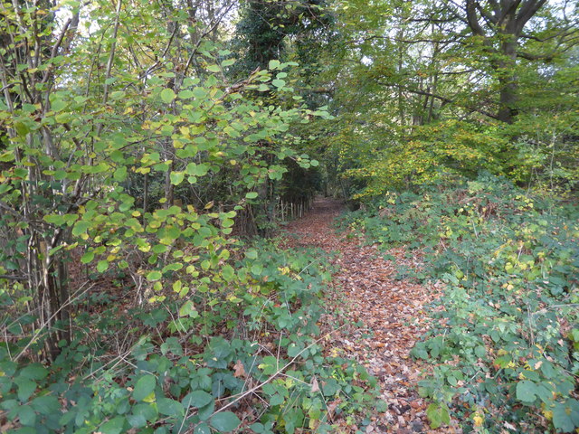
Walking through Bellowsnose Wood, visitors can explore a network of well-maintained footpaths that wind their way through the trees. These paths offer stunning views of the surrounding countryside and allow visitors to experience the wood's natural wonders up close.
One of the highlights of Bellowsnose Wood is its diverse wildlife. The wood is home to a wide range of bird species, including woodpeckers, owls, and warblers, making it a haven for birdwatchers. Additionally, the wood provides a habitat for various mammals, such as deer, foxes, and badgers, which can sometimes be spotted by lucky visitors.
Bellowsnose Wood is also known for its historical significance. It is believed that the wood has been in existence for centuries and has witnessed significant events throughout history. Some remnants of ancient settlements, including earthworks and burial mounds, can still be found within the wood, adding an intriguing layer of historical interest to the area.
Overall, Bellowsnose Wood is a captivating destination for nature enthusiasts and history buffs alike. With its stunning scenery, diverse wildlife, and historical significance, it offers a unique and enriching experience for all who visit.
If you have any feedback on the listing, please let us know in the comments section below.
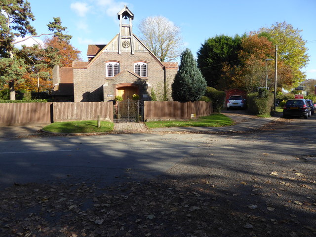
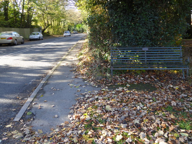
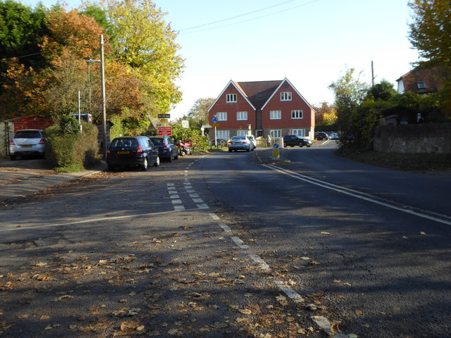
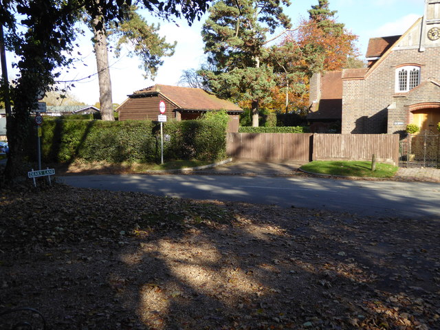
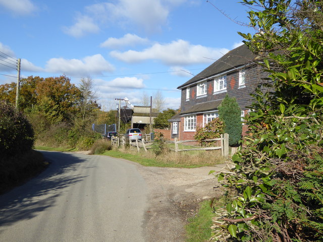
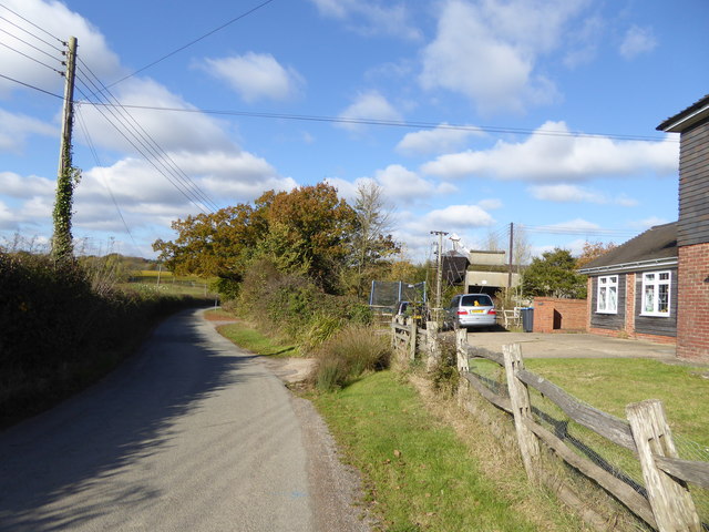
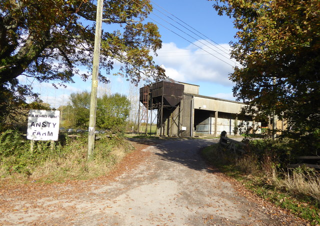
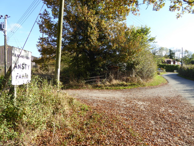
Bellowsnose Wood Images
Images are sourced within 2km of 50.98352/-0.15447798 or Grid Reference TQ2922. Thanks to Geograph Open Source API. All images are credited.


Bellowsnose Wood is located at Grid Ref: TQ2922 (Lat: 50.98352, Lng: -0.15447798)
Administrative County: West Sussex
District: Mid Sussex
Police Authority: Sussex
What 3 Words
///tube.urgent.doors. Near Burgess Hill, West Sussex
Nearby Locations
Related Wikis

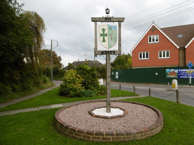
Ansty, West Sussex
Ansty is a village in the Mid Sussex district of West Sussex, England. It lies on the A272 road 1.4 miles (2.2 km) southwest of Cuckfield. It is in the...

St Paul's Catholic College
St Paul's Catholic College is a mixed-sex Roman Catholic secondary school and sixth form located in Burgess Hill, West Sussex, England. == History == The...

The Dene Hospital
The Dene Hospital is a private hospital in Gatehouse Lane, Goddards Green, West Sussex, England. It is managed by the Priory Group. == History == The original...
Goddards Green, West Sussex
Goddards Green (Goddards' Green on Ordnance Survey maps) is a hamlet in the Mid Sussex District of West Sussex, England. It is in the civil parish of Hurstpierpoint...
Burgess Hill Town (electoral division)
Burgess Hill Town is an electoral division of West Sussex in the United Kingdom, and returns one member to sit on West Sussex County Council. == Extent... ==

Holy Trinity Church, Cuckfield
Holy Trinity Church is an Anglican church in the village of Cuckfield in the district of Mid Sussex; one of seven local government districts in the English...

Bedelands Farm Nature Reserve
Bedelands Farm Nature Reserve is a 35.2-hectare (87-acre) Local Nature Reserve on the northern outskirts of Burgess Hill in West Sussex. It is owned and...

Ockenden Manor
Ockenden Manor is located in Cuckfield, West Sussex, England. The building itself dates from 1520 and is operated as a hotel and restaurant by the Historic...
Nearby Amenities
Located within 500m of 50.98352,-0.15447798Have you been to Bellowsnose Wood?
Leave your review of Bellowsnose Wood below (or comments, questions and feedback).