Browse Wood

Wood, Forest in Cambridgeshire South Cambridgeshire

England

Browse Wood

Guilden Morden Church
Guilden Morden Church Credit: mym

Browse Wood is a picturesque forest located in Cambridgeshire, England. Spread across an area of approximately 500 acres, it is a popular destination for nature lovers and outdoor enthusiasts. The wood is characterized by its diverse range of tree species, including oak, birch, beech, and pine, creating a lush and vibrant landscape.

The forest offers a variety of activities for visitors to enjoy. There are several well-maintained walking trails that meander through the wood, providing opportunities for leisurely strolls and peaceful hikes. These trails are suitable for all fitness levels and offer picturesque views of the surrounding countryside.

Browse Wood is also home to a rich array of wildlife, making it a haven for nature enthusiasts. It is not uncommon to spot squirrels, rabbits, and various species of birds during a visit. The forest is particularly renowned for its birdwatching opportunities, attracting avid birdwatchers from near and far.

For those seeking a more immersive experience, camping facilities are available in designated areas within the wood. These camping spots provide a tranquil setting for overnight stays, allowing visitors to fully immerse themselves in the beauty of nature.

Overall, Browse Wood in Cambridgeshire is a captivating destination that offers a peaceful escape from the hustle and bustle of everyday life. Whether one wishes to explore the forest trails, observe wildlife, or simply relax amidst nature, this wood provides an ideal setting for all.

If you have any feedback on the listing, please let us know in the comments section below.
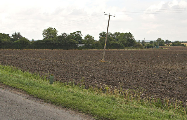
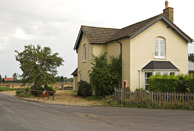
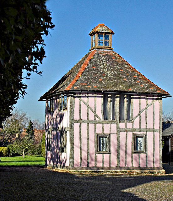
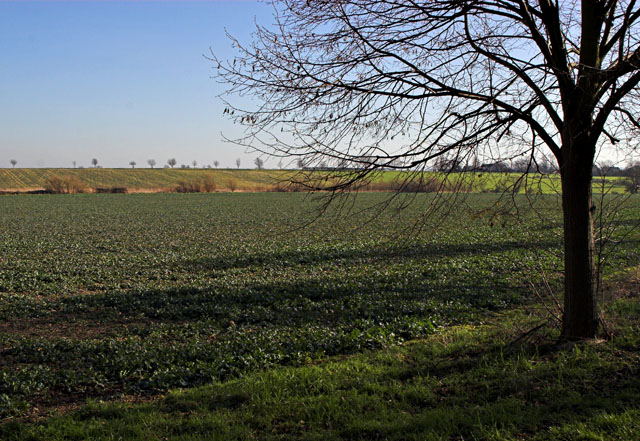
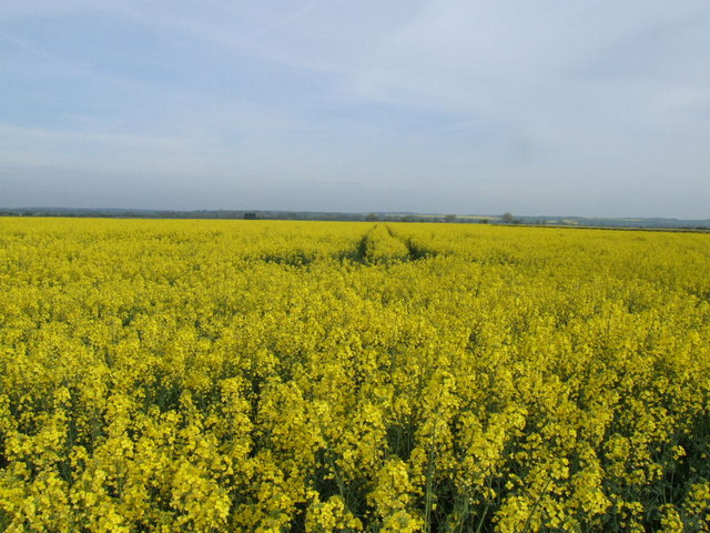
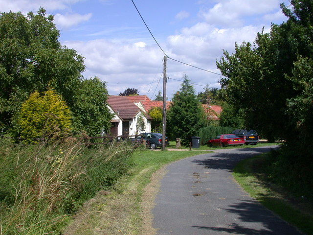
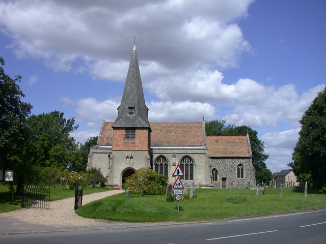
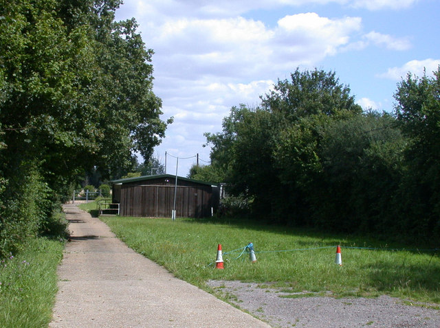
Browse Wood Images

Images are sourced within 2km of 52.074292/-0.11321888 or Grid Reference TL2943. Thanks to Geograph Open Source API. All images are credited.

Guilden Morden Church
Steeple Morden, SS Peter and Paul <span class="nowrap"><a title="http://www.druidic.org/camchurch/churches/steeplemorden.htm" rel="nofollow ugc noopener" href="http://www.druidic.org/camchurch/churches/steeplemorden.htm">Link</a><img style="margin-left:2px;" alt="External link" title="External link - shift click to open in new window" src="https://s1.geograph.org.uk/img/external.png" width="10" height="10"/></span>
Steeple Morden, SS Peter and Paul
Steeple Morden This view is from behind the RAF Memorial towards some of the old WWII buildings which formed part of Steeple Morden airfield. The whole area is now farmland.
Steeple Morden
This view is from behind the RAF Memorial towards some of the old WWII buildings which formed part of Steeple Morden airfield. The whole area is now farmland.
Bogs Gap - Steeple Morden The pumping Station and fields at Bogs Gap
Bogs Gap - Steeple Morden
The pumping Station and fields at Bogs Gap
House with Postbox in wall This house stands at the junction of Flecks Lane and North Brook End.
House with Postbox in wall
This house stands at the junction of Flecks Lane and North Brook End.
Ashwell Road  in  Steeple Morden An almost rural part of this Hertfordshire Village
Ashwell Road in Steeple Morden
An almost rural part of this Hertfordshire Village
Ashwell Road - Steeple Morden Almost all the main roads through the village are called Ashwell Road. This end of the village is known as Cold Harbour so no doubt the locals can tell where they are.
Ashwell Road - Steeple Morden
Almost all the main roads through the village are called Ashwell Road. This end of the village is known as Cold Harbour so no doubt the locals can tell where they are.
Church St and High St  Guilden Morden The junction of Church St and furthest away, High St in the Village of Guilden Morden
Church St and High St Guilden Morden
The junction of Church St and furthest away, High St in the Village of Guilden Morden
Former Dovecot in Guilden Morden Former dovecot located in Church St, Guilden Morden. This is a Grade II listed building "Dwelling, formerly a dovecot. C17, altered in C19 with C20 remodelling and renovations. Timber framed with plaster infill. Plain tiled roof. Two storeys. Lantern apex to pyramidal roof replacing C19 chimney stack and former flight entry. Windows inserted between timber frame, main entrance to rear." <span class="nowrap"><a title="http://www.britishlistedbuildings.co.uk/en-52506-dovecote-circa-13-metres-west-of-numbers-" rel="nofollow ugc noopener" href="http://www.britishlistedbuildings.co.uk/en-52506-dovecote-circa-13-metres-west-of-numbers-">Link</a><img style="margin-left:2px;" alt="External link" title="External link - shift click to open in new window" src="https://s1.geograph.org.uk/img/external.png" width="10" height="10"/></span>
Former Dovecot in Guilden Morden
Former dovecot located in Church St, Guilden Morden. This is a Grade II listed building "Dwelling, formerly a dovecot. C17, altered in C19 with C20 remodelling and renovations. Timber framed with plaster infill. Plain tiled roof. Two storeys. Lantern apex to pyramidal roof replacing C19 chimney stack and former flight entry. Windows inserted between timber frame, main entrance to rear." LinkExternal link
Village Sign The very grand Village Sign outside St Mary's Church at Guilden Morden
Village Sign
The very grand Village Sign outside St Mary's Church at Guilden Morden
Trees and Field Taken from Trap Road Guilden Morden, the line of distant trees marks the road called North Brook End
Trees and Field
Taken from Trap Road Guilden Morden, the line of distant trees marks the road called North Brook End
Rape field from Fleck's Lane
Tree in a field at North Brook End
Houses at Bogs Gap An inauspiciously named "suburb" of Steeple Morden
Houses at Bogs Gap
An inauspiciously named "suburb" of Steeple Morden
Steeple Morden church and churchyard Parish Church of SS. Peter and Paul. Nave arcades late C13, with clerestory of quatrefoil lights blocked by late C14 aisle roofs. Late C14 south porch. The spire collapsed c.1625 ruining the chancel which was rebuilt c.1866-69. Grade II* listed. <span class="nowrap"><a title="http://www.heritagegateway.org.uk/Gateway/Results_Single.aspx?resourceID=5&uid=52611" rel="nofollow ugc noopener" href="http://www.heritagegateway.org.uk/Gateway/Results_Single.aspx?resourceID=5&uid=52611">Link</a><img style="margin-left:2px;" alt="External link" title="External link - shift click to open in new window" src="https://s1.geograph.org.uk/img/external.png" width="10" height="10"/></span>
Steeple Morden church and churchyard
Parish Church of SS. Peter and Paul. Nave arcades late C13, with clerestory of quatrefoil lights blocked by late C14 aisle roofs. Late C14 south porch. The spire collapsed c.1625 ruining the chancel which was rebuilt c.1866-69. Grade II* listed. LinkExternal link
Scout Hut, The Pightle, Bogs Gap Lane The hut is the HQ of the 6th Royston Air Scouts.
Scout Hut, The Pightle, Bogs Gap Lane
The hut is the HQ of the 6th Royston Air Scouts.
Three Tuns, Guilden Morden
St Mary's Guilden Morden View from Hinxworth Place
St Mary's Guilden Morden
View from Hinxworth Place
Show me another place!

Browse Wood is located at Grid Ref: TL2943 (Lat: 52.074292, Lng: -0.11321888)

Administrative County: Cambridgeshire

District: South Cambridgeshire

Police Authority: Cambridgeshire

What 3 Words

///nuptials.discouraged.spelled. Near Bassingbourn, Cambridgeshire

Nearby Locations

Browse Wood

Related Wikis

Steeple Morden

Steeple Morden is a village and civil parish in Cambridgeshire, England, about 15 miles (24 km) south west of Cambridge and 5 miles (8 km) west of Royston...

Abington Pigotts

Abington Pigotts is a small village in Cambridgeshire, England about 4 miles (6 km) northwest of Royston, Hertfordshire. == History == The parish of Abington...

Guilden Morden

Guilden Morden is a village and parish located in Cambridgeshire about 16 miles (26 km) south west of Cambridge and 9 miles (14 km) west of Royston in...

Litlington, Cambridgeshire

Litlington is a village and civil parish in the East of England region and the county of Cambridgeshire in the United Kingdom. The village lies approximately...

Nearby Amenities

Located within 500m of 52.074292,-0.11321888
The data included in this document is from www.openstreetmap.org. The data is made available under ODbL.

Have you been to Browse Wood?

Leave your review of Browse Wood below (or comments, questions and feedback).