Baron's Grove

Wood, Forest in Hertfordshire East Hertfordshire

England

Baron's Grove

Walkern Hall I have no idea what this grand looking Hall is used for now. This photo was taken from the adjoining square because Walkern Hall is so close to the edge.
Walkern Hall Credit: Robin Hall

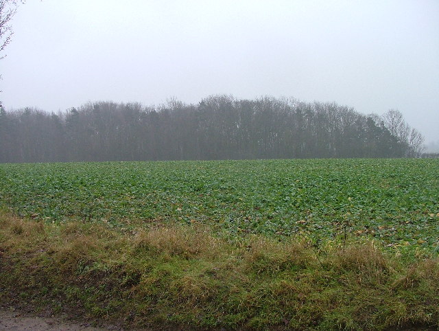
Baron's Grove is a picturesque woodland area located in Hertfordshire, England. Stretching over an area of approximately 100 acres, this serene forest is a hidden gem that attracts nature enthusiasts, hikers, and wildlife lovers alike.

The grove boasts a diverse range of flora and fauna, providing a rich and vibrant ecosystem. Towering oak and beech trees dominate the landscape, creating a dense canopy that allows only scattered sunlight to filter through. This creates a magical atmosphere, especially during the golden hours of dawn and dusk.

Numerous walking trails wind their way through the woods, offering visitors an opportunity to explore and immerse themselves in the natural beauty of the surroundings. These paths vary in difficulty, catering to both casual strollers and avid hikers. Along the trails, one can encounter an array of wildlife, including deer, rabbits, squirrels, and a variety of bird species.

Baron's Grove also boasts a small lake nestled within its boundaries, providing a tranquil spot for visitors to relax and enjoy the peaceful ambiance. The lake is home to a diverse range of aquatic life, making it a haven for birdwatchers and nature photographers.

The forest is well-maintained, with designated picnic areas and benches strategically placed throughout the grove. This allows visitors to take a break and enjoy a packed lunch amidst the natural beauty surrounding them.

Overall, Baron's Grove is a stunning woodland retreat that offers a peaceful escape from the hustle and bustle of everyday life. With its enchanting trails, diverse wildlife, and serene lake, it truly is a nature lover's paradise.

If you have any feedback on the listing, please let us know in the comments section below.

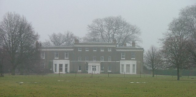
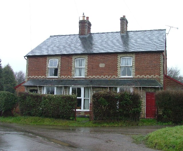
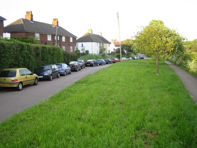
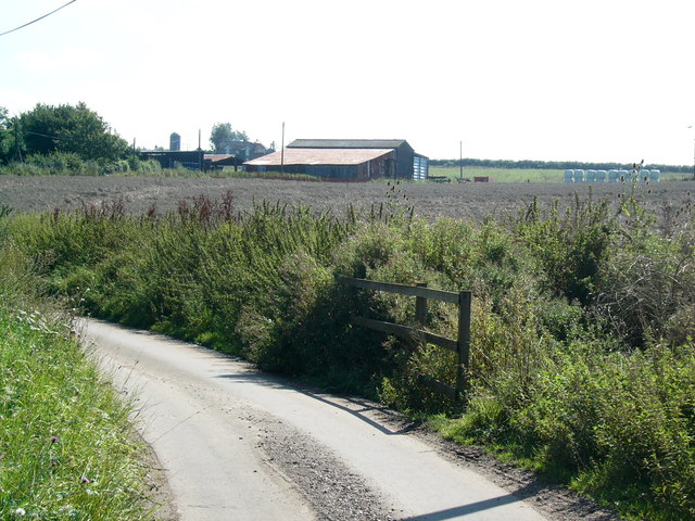
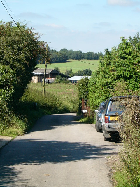
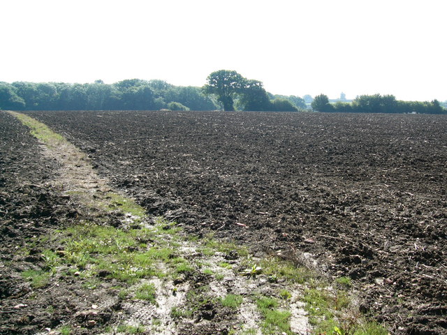
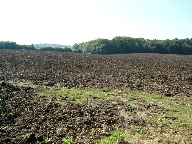
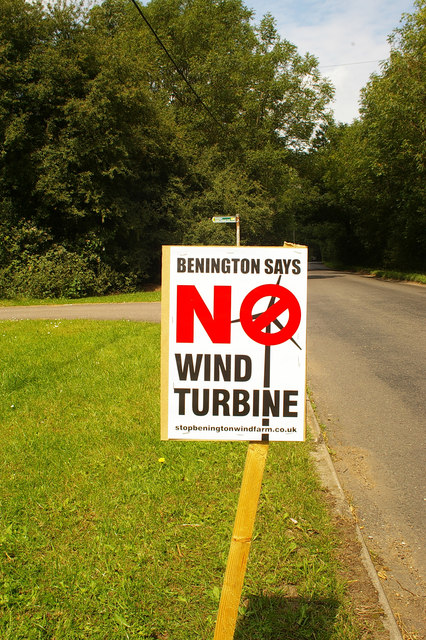
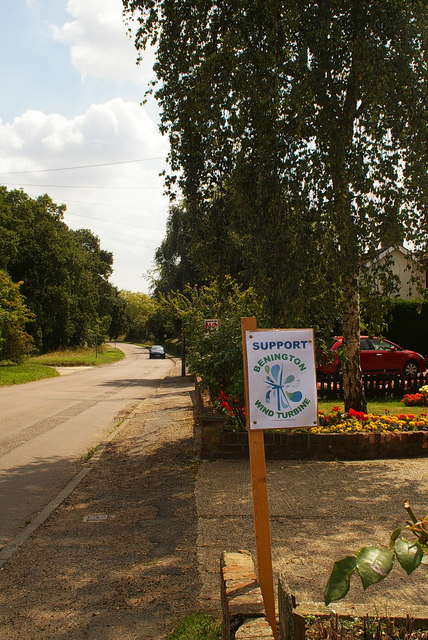
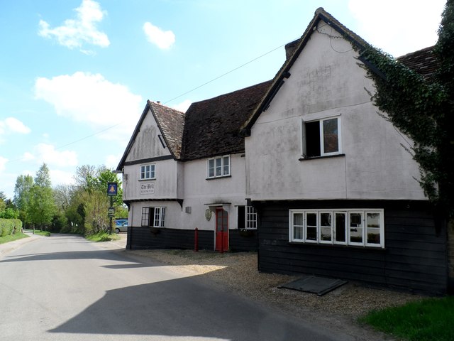
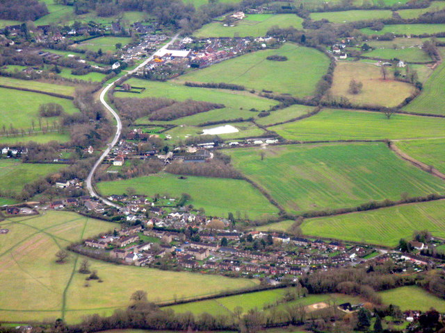
Baron's Grove Images

Images are sourced within 2km of 51.907212/-0.12038927 or Grid Reference TL2924. Thanks to Geograph Open Source API. All images are credited.

Walkern Hall I have no idea what this grand looking Hall is used for now. This photo was taken from the adjoining square because Walkern Hall is so close to the edge.
Walkern Hall
I have no idea what this grand looking Hall is used for now. This photo was taken from the adjoining square because Walkern Hall is so close to the edge.
Crossroads at Bassus Green This is not a main road.  it has a limited number of drains but an unlimited number of puddles.
Crossroads at Bassus Green
This is not a main road. it has a limited number of drains but an unlimited number of puddles.
Cottages at Clay End Clay end is not very big.  This is about half of it.
Cottages at Clay End
Clay end is not very big. This is about half of it.
Benington: Town Lane Looking towards Burn's Green.
Benington: Town Lane
Looking towards Burn's Green.
Holmes Farm
Holmes Farm
Country Lane
Country Lane
Ploughed Fields
Ploughed Fields
Ploughed field and woodland
Ploughed fields
Ploughed fields
Looking towards Holmes Farm
Roadside placard, Benington, Hertfordshire (1) While the country struggles to supplement its energy needs by tentatively developing alternative sources, voices of protest in rural areas raised by those affected by these proposed  installations. The village of Benington in Hertfordshire currently has a numerous placards along the roadside like the one in the image. A justified campaign <span class="nowrap"><a title="http://www.stopbeningtonwindfarm.co.uk/" rel="nofollow ugc noopener" href="http://www.stopbeningtonwindfarm.co.uk/">Link</a><img style="margin-left:2px;" alt="External link" title="External link - shift click to open in new window" src="https://s1.geograph.org.uk/img/external.png" width="10" height="10"/></span> ? or mere nimbyism <span class="nowrap"><a title="http://en.wikipedia.org/wiki/NIMBY" rel="nofollow ugc noopener" href="http://en.wikipedia.org/wiki/NIMBY">Link</a><img style="margin-left:2px;" alt="External link" title="External link - shift click to open in new window" src="https://s1.geograph.org.uk/img/external.png" width="10" height="10"/></span> ?
Roadside placard, Benington, Hertfordshire (1)
While the country struggles to supplement its energy needs by tentatively developing alternative sources, voices of protest in rural areas raised by those affected by these proposed installations. The village of Benington in Hertfordshire currently has a numerous placards along the roadside like the one in the image. A justified campaign LinkExternal link ? or mere nimbyism LinkExternal link ?
Roadside placard, Benington, Hertfordshire (2) <a href="https://www.geograph.org.uk/photo/2533338">TL3023 : Roadside placard, Benington, Hertfordshire (1)</a> ... and here an apparently lone voice of support for the project!
Roadside placard, Benington, Hertfordshire (2)
TL3023 : Roadside placard, Benington, Hertfordshire (1) ... and here an apparently lone voice of support for the project!
The Bell pub, Bennington
Benington and Burn's Green Two villages surrounded by farmland east of Stevenage. Burn's Green is the more distant.
Benington and Burn's Green
Two villages surrounded by farmland east of Stevenage. Burn's Green is the more distant.
Walkern church
Walkern church
War memorial - Walkern. Stuck out in rather an odd place.  It sits in the grass triangle at a junction just outside of Walkern.  There are no houses or other buildings in the immediate vicinity.
War memorial - Walkern.
Stuck out in rather an odd place. It sits in the grass triangle at a junction just outside of Walkern. There are no houses or other buildings in the immediate vicinity.
Baron's Grove. This photo taken from the bridleway.  The trees look as though they are shrouded in mist because they are.
Baron's Grove.
This photo taken from the bridleway. The trees look as though they are shrouded in mist because they are.
Manor Farm, Walkern. Just over the wall is a large pond.  The round building to the left seems to be used as accommodation.
Manor Farm, Walkern.
Just over the wall is a large pond. The round building to the left seems to be used as accommodation.
Show me another place!

Baron's Grove is located at Grid Ref: TL2924 (Lat: 51.907212, Lng: -0.12038927)

Administrative County: Hertfordshire

District: East Hertfordshire

Police Authority: Hertfordshire

What 3 Words

///endearing.episode.flasks. Near Walkern, Hertfordshire

Nearby Locations

Baron's Grove Farm Wood

Related Wikis

Benington Castle

Benington Castle is a ruined castle in the village of Benington, near Stevenage in Hertfordshire, England at grid reference TL296236. It has been protected...

Benington, Hertfordshire

Benington is a village and civil parish in the East Hertfordshire district of Hertfordshire, England, about four miles east of Stevenage and 35 miles north...
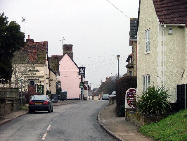
Walkern

Walkern is a village and civil parish in East Hertfordshire, England. It is about two miles (3 km) from Stevenage. The village has several shops, including...

Benington High Wood

Benington High Wood is a 20.7-hectare (51-acre) biological Site of Special Scientific Interest in Benington, Hertfordshire. The planning authority is East...

Church of St Mary the Virgin, Walkern

The parish church of St Mary the Virgin in Walkern, Hertfordshire, dates from before the Norman Conquest and has been altered in the succeeding centuries...

Aston End

Aston End is a hamlet in Hertfordshire, England. It is in the civil parish of Aston. It features a pub and a butchers, as well as a few houses. == References... ==

Ardeley

Ardeley is a small village and civil parish in East Hertfordshire, England. The parish includes the hamlet of Cromer, as well as Wood End and Moor Green...

Aston, Hertfordshire

Aston is a village and civil parish in the East Hertfordshire district of Hertfordshire, England. According to the 2001 census it had a population of...

Nearby Amenities

Located within 500m of 51.907212,-0.12038927
Power: pole
Lat/Long: 51.9070978/-0.1265733
Power: pole
Lat/Long: 51.905625/-0.1266484
Power: pole
Lat/Long: 51.9063879/-0.1266109
The data included in this document is from www.openstreetmap.org. The data is made available under ODbL.

Have you been to Baron's Grove?

Leave your review of Baron's Grove below (or comments, questions and feedback).