Birch Wood
Wood, Forest in Hertfordshire East Hertfordshire
England
Birch Wood
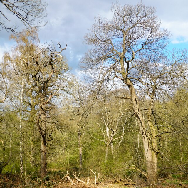
Birch Wood is a scenic forest located in Hertfordshire, England. Spanning approximately 109 acres, it is a popular destination for nature enthusiasts, walkers, and families looking to explore the beauty of the countryside. The wood is primarily composed of birch trees, which are known for their distinctive white bark and delicate leaves.
This enchanting forest offers a diverse range of flora and fauna, making it a haven for wildlife. Visitors can expect to encounter a variety of bird species, including woodpeckers, thrushes, and owls. The wood is also home to small mammals like foxes, squirrels, and rabbits, adding to its natural charm.
Tranquility and serenity are the hallmarks of Birch Wood, making it an ideal place for leisurely walks and picnics. The forest features well-maintained footpaths that wind through the trees, ensuring a peaceful and enjoyable experience for visitors of all ages. The breathtaking scenery and fresh air make it an excellent spot for photographers and artists seeking inspiration.
Birch Wood is easily accessible, with ample parking and nearby facilities. It is also conveniently located close to various attractions and amenities in the surrounding area, such as cafes, pubs, and shops.
Overall, Birch Wood in Hertfordshire offers a delightful escape from the hustle and bustle of daily life. Its natural beauty, diverse wildlife, and peaceful ambiance make it a must-visit destination for those seeking a tranquil retreat in the heart of the English countryside.
If you have any feedback on the listing, please let us know in the comments section below.
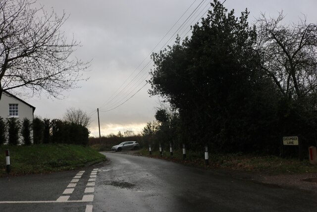
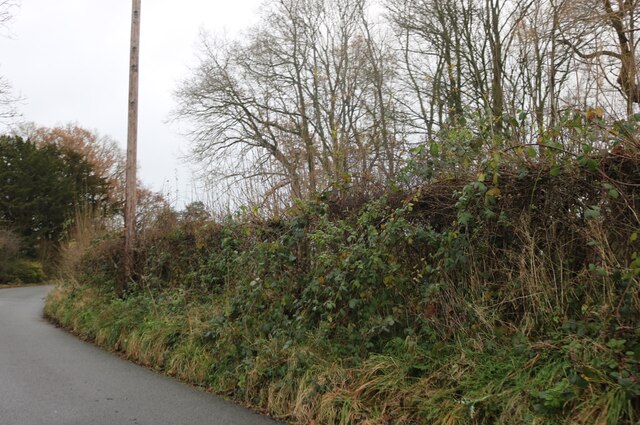
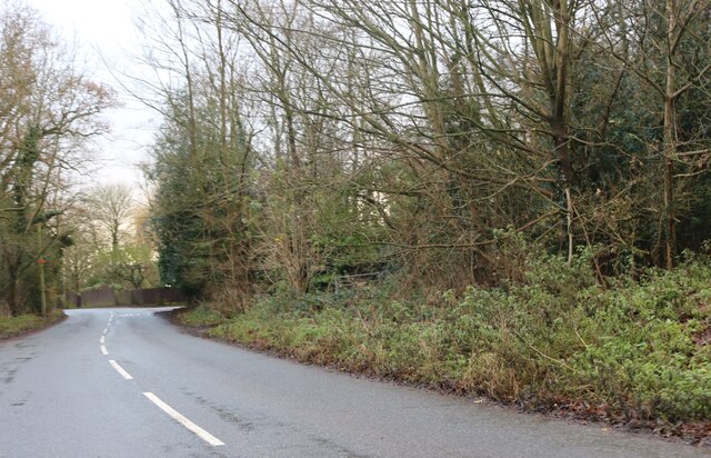
Birch Wood Images
Images are sourced within 2km of 51.73853/-0.13798496 or Grid Reference TL2806. Thanks to Geograph Open Source API. All images are credited.


Birch Wood is located at Grid Ref: TL2806 (Lat: 51.73853, Lng: -0.13798496)
Administrative County: Hertfordshire
District: East Hertfordshire
Police Authority: Hertfordshire
What 3 Words
///skills.sits.bunk. Near Cuffley, Hertfordshire
Nearby Locations
Related Wikis
Little Berkhamsted
Little Berkhamsted is a village and civil parish in Hertfordshire, England, five miles south-west of the town of Hertford. The village is in a hilly location...
Newgate Street, Hertfordshire
Newgate Street is a village near Cuffley, in Hatfield civil parish, in the Welwyn Hatfield district of Hertfordshire, England. It is approximately six...

Northaw Great Wood
Northaw Great Wood is a 223.6-hectare (553-acre) biological Site of Special Scientific Interest (SSSI) near Cuffley in Hertfordshire, England. It covers...

Tolmers Park
Tolmers Park is a manor house in Newgate Street Village near Hatfield in Hertfordshire, England. == Early history == The early history of the manor is...

Essendon, Hertfordshire
Essendon is a village and civil parish in Hertfordshire 6 miles (10 km), south-west of Hertford. The village is on the B158 road 330 feet (100 m) above...
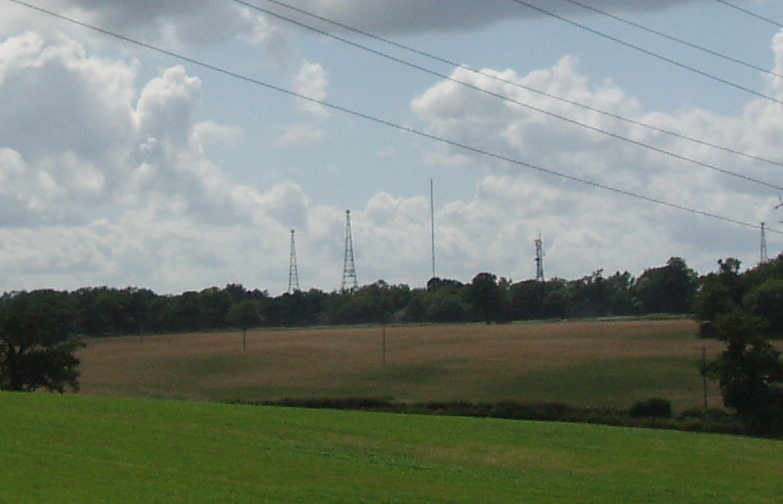
Brookmans Park transmitting station
The Brookmans Park transmitting station is a facility for medium wave (MW) broadcasting at Brookmans Park, Hertfordshire, north of London (grid reference...

Rhodes Wood Hospital
Rhodes Wood Hospital is a specialist hospital for children and young people with eating disorders. It is based in the grade II listed former Mymwood School...
Queenswood School
Queenswood School is a girls-only independent school located near Hatfield, Hertfordshire, twenty miles from London. It offers admission at ages 11, 13...
Nearby Amenities
Located within 500m of 51.73853,-0.13798496Have you been to Birch Wood?
Leave your review of Birch Wood below (or comments, questions and feedback).