Dowsdale Plantation
Wood, Forest in Cambridgeshire
England
Dowsdale Plantation
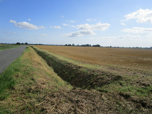
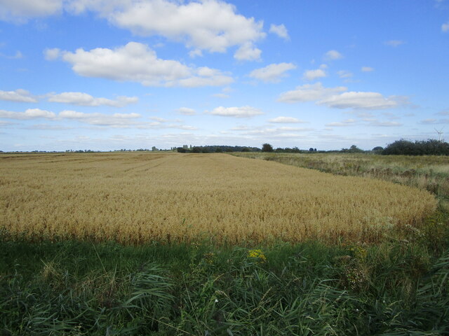
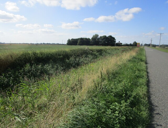
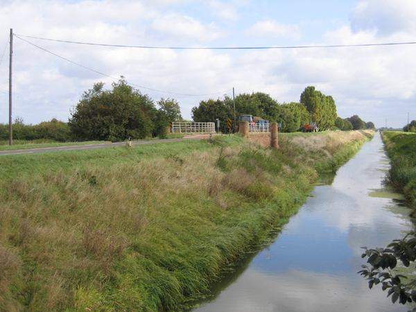
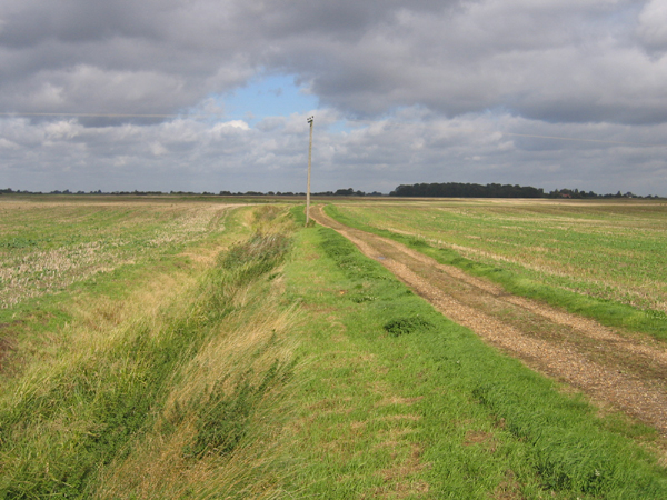
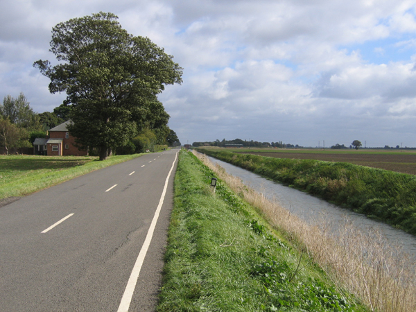
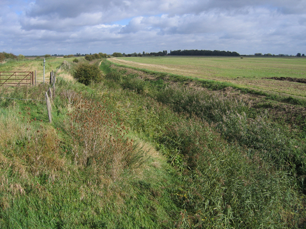
Dowsdale Plantation is a beautiful woodland area located in Cambridgeshire, England. Covering a vast expanse of land, the plantation is known for its serene atmosphere and rich biodiversity. The site is situated near the village of Wood, nestled within the heart of the county.
The woodland in Dowsdale Plantation consists of a variety of tree species, including oak, beech, ash, and pine, among others. These trees create a lush and thriving forest, providing a haven for various wildlife species. The area is abundant with birds, such as woodpeckers, owls, and various songbirds, making it a popular spot among birdwatchers.
The plantation offers several walking trails, allowing visitors to explore the woodland at their own pace. These well-maintained paths wind through the forest, providing opportunities for peaceful strolls and nature observation. Along the way, one can discover an array of wildflowers and plants, adding to the charm of the surroundings.
Dowsdale Plantation is also home to a diverse range of animals, including deer, foxes, badgers, and squirrels. The plantation's management actively promotes conservation, ensuring the protection of these species and their habitats.
The plantation is a haven for nature enthusiasts and provides an ideal escape from the hustle and bustle of city life. Whether it is a leisurely walk, birdwatching, or simply enjoying the tranquility of the woodland, Dowsdale Plantation offers a unique experience for visitors seeking to immerse themselves in nature's beauty.
If you have any feedback on the listing, please let us know in the comments section below.
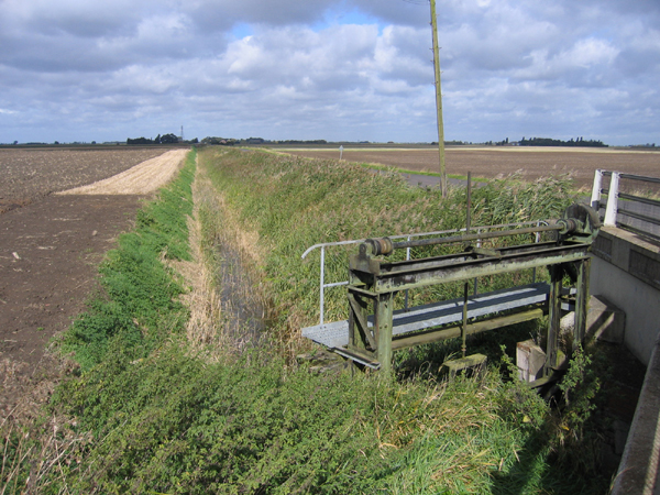
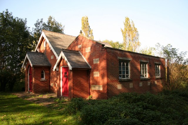
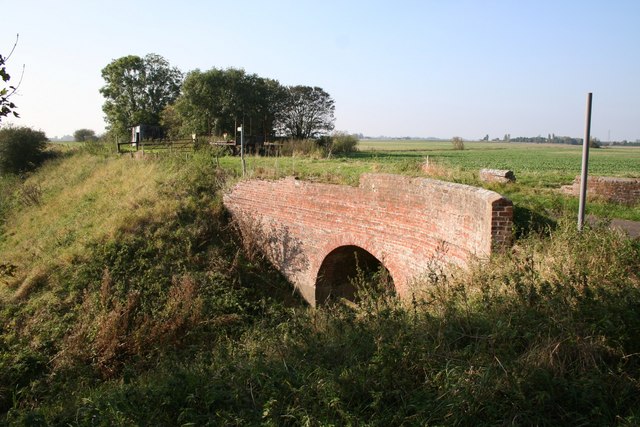
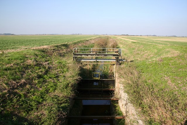
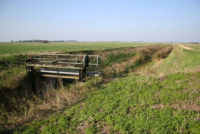
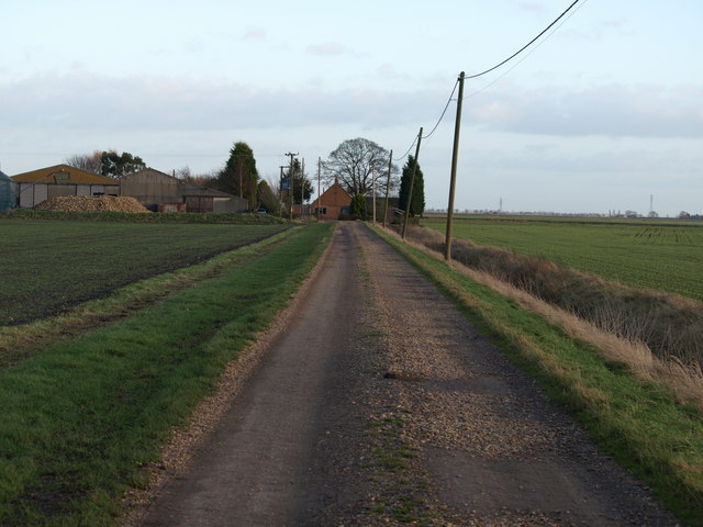
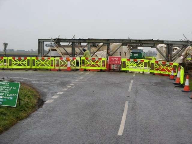
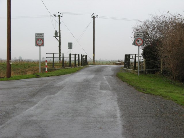
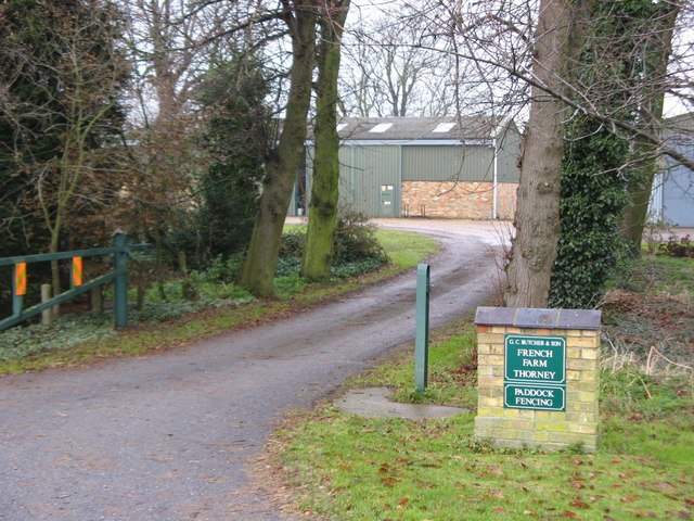
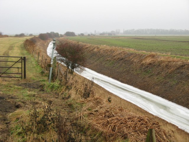
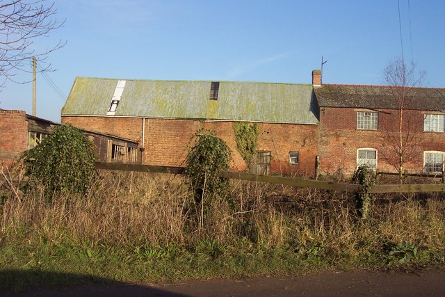
Dowsdale Plantation Images
Images are sourced within 2km of 52.671176/-0.10096161 or Grid Reference TF2809. Thanks to Geograph Open Source API. All images are credited.
Dowsdale Plantation is located at Grid Ref: TF2809 (Lat: 52.671176, Lng: -0.10096161)
Division: Isle of Ely
Unitary Authority: Peterborough
Police Authority: Cambridgeshire
What 3 Words
///blessing.line.chiefs. Near Crowland, Lincolnshire
Nearby Locations
Related Wikis
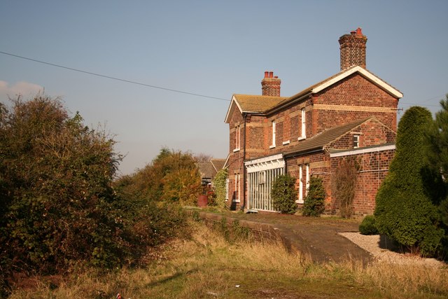
Postland railway station
Postland railway station was a station on the Great Northern and Great Eastern Joint Railway in Crowland, Lincolnshire, which is now closed. It took its...

Shepeau Stow, Lincolnshire
Shepeau Stow is a hamlet in the South Holland district of Lincolnshire, England. It is at the north-east edge of Whaplode civil parish, where it adjoins...
Fitton End
Fitton End is a hamlet in the civil parish of Newton-in-the-Isle, in the Fenland district, in the county of Cambridgeshire, England. It has a population...

Crowland Abbey
Crowland Abbey (historically often spelled Croyland Abbey; Latin: Croilandia) is a Church of England parish church, formerly part of a Benedictine abbey...

Trinity Bridge, Crowland
Trinity Bridge is a unique three-way stone arch bridge that stands at the heart of Crowland, Lincolnshire, England. While it once spanned the confluence...

Crowland
Crowland (modern usage) or Croyland (medieval era name and the one still in ecclesiastical use; cf. Latin: Croilandia) is a town in the South Holland district...

French Drove and Gedney Hill railway station
French Drove and Gedney Hill was a station on the Great Northern and Great Eastern Joint Railway near Gedney Hill in south Lincolnshire on the line between...

Holbeach Drove
Holbeach Drove is a village in the South Holland district of Lincolnshire, England. It is situated approximately 5 miles (8 km) east from Crowland, and...
Nearby Amenities
Located within 500m of 52.671176,-0.10096161Have you been to Dowsdale Plantation?
Leave your review of Dowsdale Plantation below (or comments, questions and feedback).