Dowsdale
Settlement in Lincolnshire South Holland
England
Dowsdale
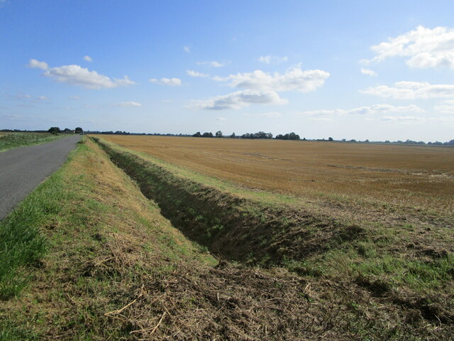
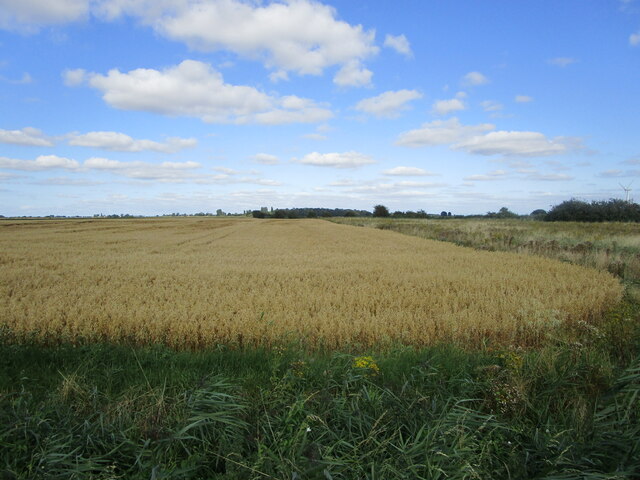
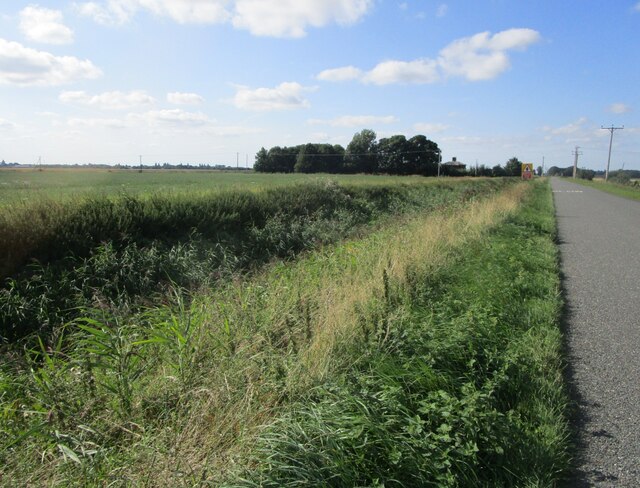
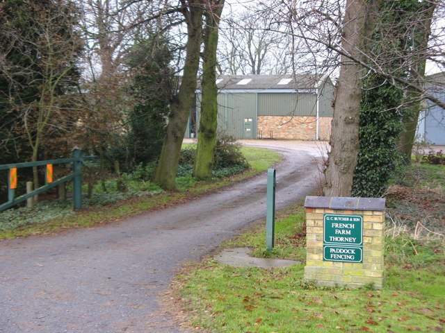
Dowsdale is a small village located in the county of Lincolnshire, England. Situated approximately 5 miles northwest of the town of Spalding, Dowsdale is surrounded by lush farmland and picturesque countryside.
With a population of around 200 residents, Dowsdale is a close-knit community known for its peaceful and rural atmosphere. The village boasts a charming mix of traditional stone cottages and modern houses, creating a harmonious blend of old and new.
Dowsdale offers a range of amenities to its residents, including a local village hall, which serves as a hub for community events and gatherings. The village also has a primary school, providing education for the local children.
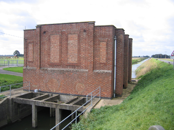
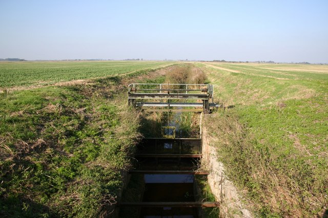
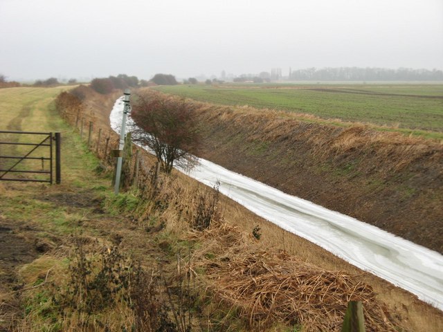
The surrounding countryside offers plenty of opportunities for outdoor activities. Dowsdale is within close proximity to several nature reserves and country parks, making it an ideal location for nature lovers and hikers. The nearby River Welland also provides opportunities for fishing and boating.
For those seeking a taste of history and culture, Dowsdale is within easy reach of numerous historical sites and landmarks. The city of Lincoln, with its stunning cathedral and medieval castle, is just a short drive away, offering a wealth of cultural attractions.
Overall, Dowsdale is a charming and idyllic village, offering a peaceful and rural lifestyle in the heart of Lincolnshire's countryside.
If you have any feedback on the listing, please let us know in the comments section below.
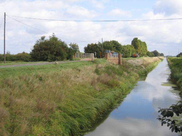
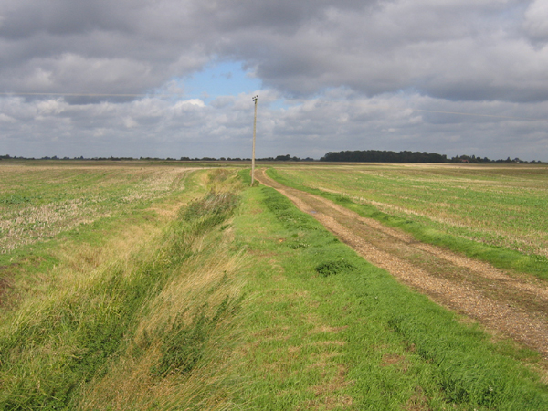
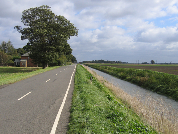
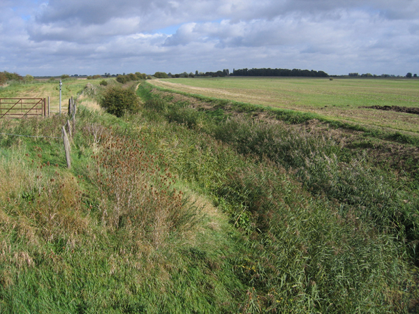
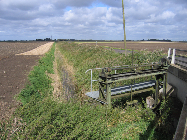
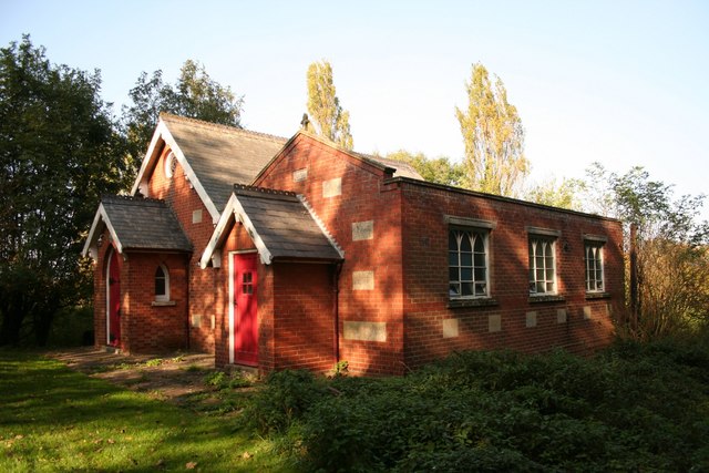
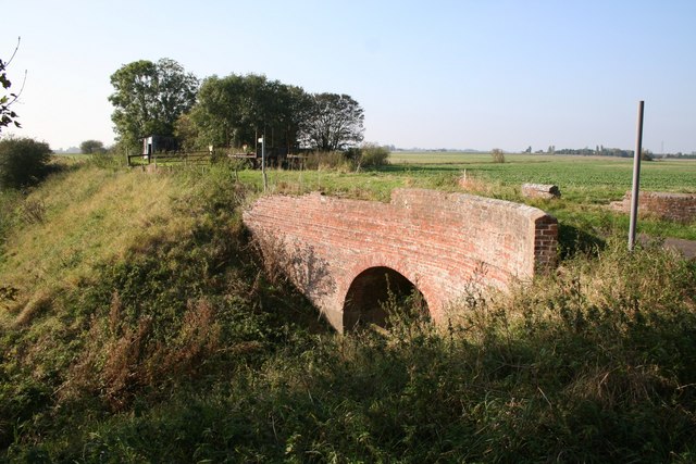
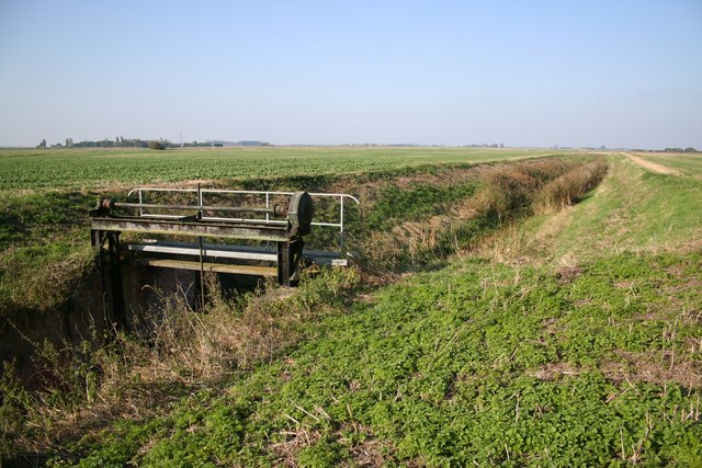
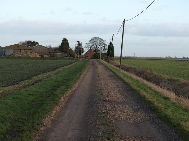
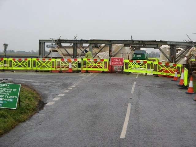
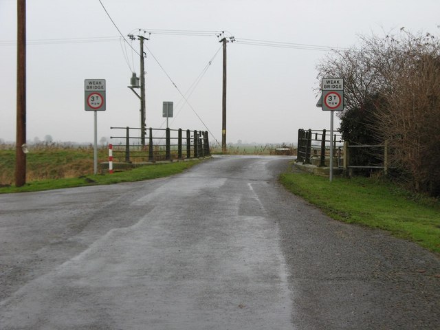
Dowsdale Images
Images are sourced within 2km of 52.67199/-0.102708 or Grid Reference TF2809. Thanks to Geograph Open Source API. All images are credited.
Dowsdale is located at Grid Ref: TF2809 (Lat: 52.67199, Lng: -0.102708)
Division: Parts of Holland
Administrative County: Lincolnshire
District: South Holland
Police Authority: Lincolnshire
What 3 Words
///collapsed.verges.adopts. Near Crowland, Lincolnshire
Nearby Locations
Related Wikis
Postland railway station
Postland railway station was a station on the Great Northern and Great Eastern Joint Railway in Crowland, Lincolnshire, which is now closed. It took its...

Shepeau Stow, Lincolnshire
Shepeau Stow is a hamlet in the South Holland district of Lincolnshire, England. It is at the north-east edge of Whaplode civil parish, where it adjoins...
Fitton End
Fitton End is a hamlet in the civil parish of Newton-in-the-Isle, in the Fenland district, in the county of Cambridgeshire, England. It has a population...

Crowland Abbey
Crowland Abbey (historically often spelled Croyland Abbey; Latin: Croilandia) is a Church of England parish church, formerly part of a Benedictine abbey...

Trinity Bridge, Crowland
Trinity Bridge is a unique three-way stone arch bridge that stands at the heart of Crowland, Lincolnshire, England. While it once spanned the confluence...

Crowland
Crowland (modern usage) or Croyland (medieval era name and the one still in ecclesiastical use; cf. Latin: Croilandia) is a town in the South Holland district...

French Drove and Gedney Hill railway station
French Drove and Gedney Hill was a station on the Great Northern and Great Eastern Joint Railway near Gedney Hill in south Lincolnshire on the line between...

Holbeach Drove
Holbeach Drove is a village in the South Holland district of Lincolnshire, England. It is situated approximately 5 miles (8 km) east from Crowland, and...
Nearby Amenities
Located within 500m of 52.67199,-0.102708Have you been to Dowsdale?
Leave your review of Dowsdale below (or comments, questions and feedback).