Bramfield Park Wood

Wood, Forest in Hertfordshire East Hertfordshire

England

Bramfield Park Wood

Main Road, Bramfield
Main Road, Bramfield Credit: David Howard

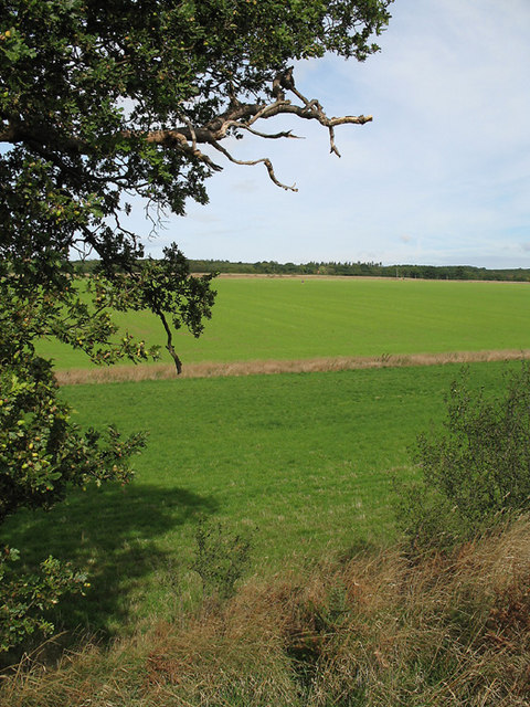
Bramfield Park Wood is a stunning forest located in Hertfordshire, England. Covering an area of approximately 20 hectares, this woodland is a haven for nature enthusiasts and provides a tranquil escape from the bustling city life. The wood is situated near the village of Bramfield, just a short distance from Hertford.

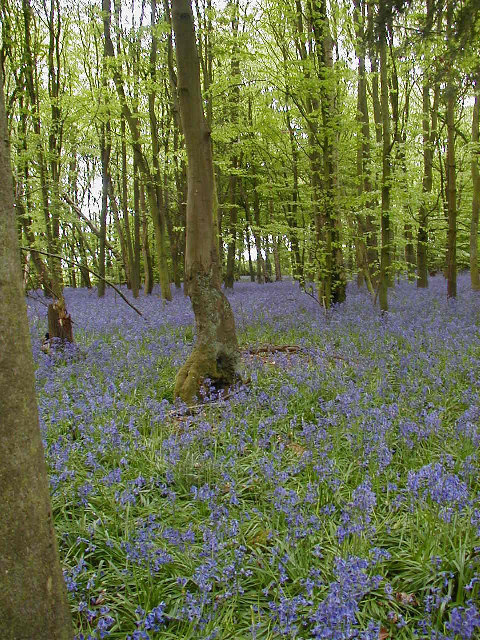
The wood boasts a diverse range of tree species, including oak, beech, hornbeam, and birch, which create a beautiful canopy of foliage throughout the year. These trees provide a habitat for various wildlife, such as deer, foxes, badgers, and a wide variety of bird species, making it an ideal spot for birdwatching and wildlife observation.

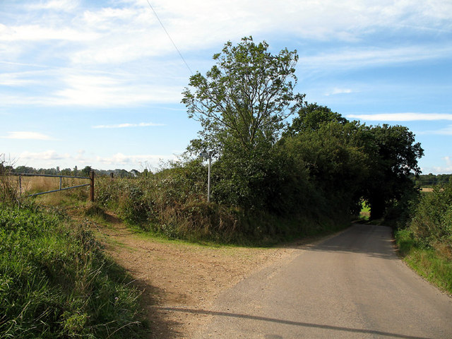
Bramfield Park Wood is crisscrossed by a network of well-maintained footpaths, allowing visitors to explore the woodland and enjoy its natural beauty. The paths lead to several picturesque spots, including a tranquil pond and a small stream, which add to the charm of the woodland.

The wood is managed by the local authorities and is open to the public year-round. It offers a range of recreational activities, including walking, jogging, and picnicking. A designated picnic area with benches and tables is provided for visitors to relax and enjoy the peaceful surroundings.

Bramfield Park Wood is a popular destination for nature lovers and families seeking a peaceful retreat in the heart of Hertfordshire. Its natural beauty, diverse wildlife, and well-maintained facilities make it a must-visit location for anyone looking to reconnect with nature.

If you have any feedback on the listing, please let us know in the comments section below.

Bramfield Park Wood Images

Images are sourced within 2km of 51.822427/-0.13856155 or Grid Reference TL2815. Thanks to Geograph Open Source API. All images are credited.

Main Road, Bramfield
Looking towards Priest Wood, Bramfield
Main Road, Bramfield
Bramfield Village Looking north from the village church.
Bramfield Village
Looking north from the village church.
St Peter's, Tewin The south face of the church. The churchyard includes a tomb that has been split by a large tree growing out from it.
St Peter's, Tewin
The south face of the church. The churchyard includes a tomb that has been split by a large tree growing out from it.
Bluebells in Row Wood
Tewin Village Green View north across the village green.
Tewin Village Green
View north across the village green.
Tewin Village Sign
Tewin Village Sign
Altar and Choir Stalls - St Peters
Bramfield Shelter Built 2 June 1953 to commemorate Queen Elizabeth's Coronation it was originally the village well house.
Bramfield Shelter
Built 2 June 1953 to commemorate Queen Elizabeth's Coronation it was originally the village well house.
Bramfield Village Post Office A rare sight these days, a working, village post office and store.
Bramfield Village Post Office
A rare sight these days, a working, village post office and store.
The Plume of Feathers Public House A Pub & Restaurant in the village of Tewin
The Plume of Feathers Public House
A Pub & Restaurant in the village of Tewin
Bacon's Farm On the other side of the farmhouse there live a flock of chickens.
The eggs are sold from an honesty-box by the gate.
Bacon's Farm
On the other side of the farmhouse there live a flock of chickens. The eggs are sold from an honesty-box by the gate.
Bramfieldbury This house may be on the site of the dwelling-house said to have been built by Robert Ware, bursar of St. Albans, at Bramfield. It is generally called Bramfieldbury or Nancy Bury.
Bramfieldbury
This house may be on the site of the dwelling-house said to have been built by Robert Ware, bursar of St. Albans, at Bramfield. It is generally called Bramfieldbury or Nancy Bury.
Greenhill This house stands just to the south of Bramfield Woods.
It is the only house in this grid-square apart from the Lodge-house at the end of the drive.
Greenhill
This house stands just to the south of Bramfield Woods. It is the only house in this grid-square apart from the Lodge-house at the end of the drive.
Westend Farmland Farmland to the south of Bramfield.  The oak tree in the foreground has fully developed acorns.  Beyond the near boundary, the field has a new crop, possibly winter wheat, growing.   The small dot near the centre of the photo is a pair of joggers on the bridleway that cuts diagonally across the field.
Westend Farmland
Farmland to the south of Bramfield. The oak tree in the foreground has fully developed acorns. Beyond the near boundary, the field has a new crop, possibly winter wheat, growing. The small dot near the centre of the photo is a pair of joggers on the bridleway that cuts diagonally across the field.
Bridleway and road near Westend Farm On the road between Bramfield and the B1000.  The road hugs the east side of the shallow valley.   On the left is a bridleway to Goldings Plantation.
Bridleway and road near Westend Farm
On the road between Bramfield and the B1000. The road hugs the east side of the shallow valley. On the left is a bridleway to Goldings Plantation.
Veteran Hornbeam Pollard along old green lane Veteran trees like this provide a really important wildlife habitat.
Veteran Hornbeam Pollard along old green lane
Veteran trees like this provide a really important wildlife habitat.
Show me another place!

Bramfield Park Wood is located at Grid Ref: TL2815 (Lat: 51.822427, Lng: -0.13856155)

Administrative County: Hertfordshire

District: East Hertfordshire

Police Authority: Hertfordshire

What 3 Words

///paid.bumps.season. Near Datchworth, Hertfordshire

Related Wikis

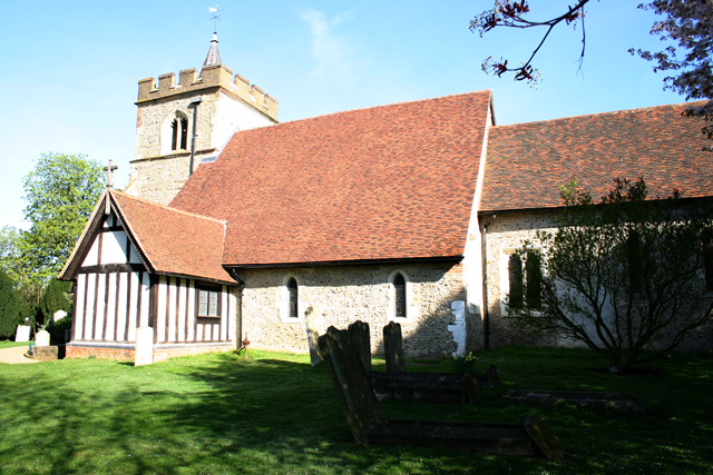
Bramfield, Hertfordshire

Bramfield is a village and civil parish in the East Hertfordshire district, in the county of Hertfordshire, England. Nearby settlements include Hertford...
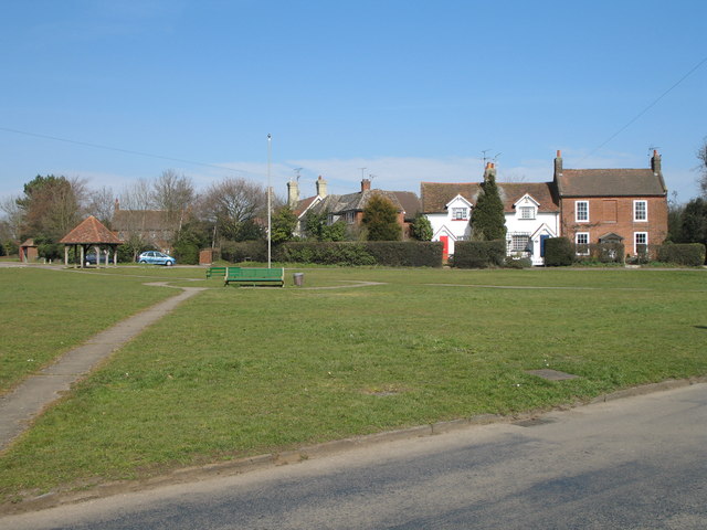
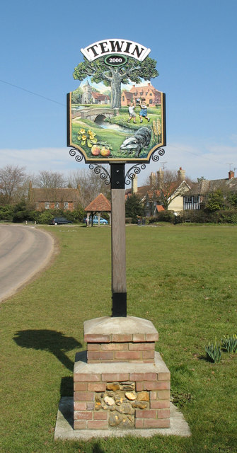
Tewin

Tewin is an English village and civil parish in Hertfordshire, England between the towns of Welwyn Garden City, Stevenage, Welwyn (village) and the county...
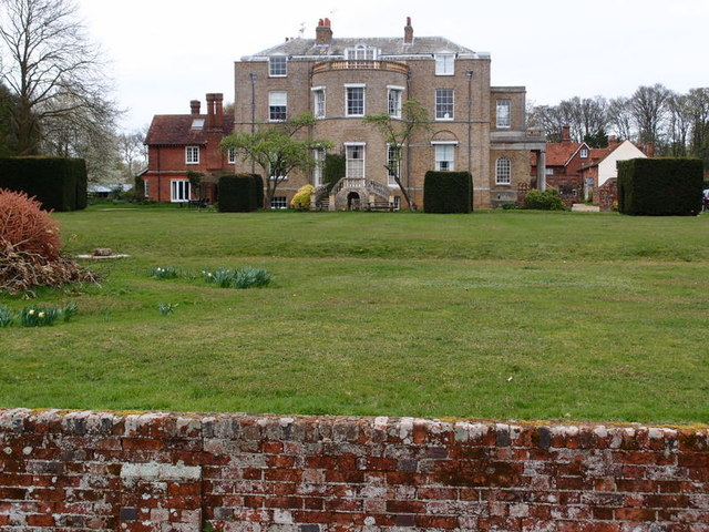
Marden Hill

Marden Hill is a Grade II* listed country house close to the village of Tewin, Hertfordshire.The house, originally Jacobean but substantially rebuilt in...

Tewin Orchard and Hopkyns Wood

Tewin Orchard and Hopkyns Wood is a 4.3-hectare (11-acre) nature reserve in Tewin in Hertfordshire. It is managed by the Herts and Middlesex Wildlife Trust...

Panshanger

Panshanger was a large country house located between the outer edge of Hertford and Welwyn Garden City in Hertfordshire, England. == History == Earl Cowper...

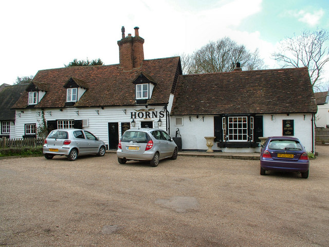
The Horns, Bull's Green

The Horns is a public house in Datchworth, Hertfordshire, England. It is situated on Bramfield Road in Bull's Green, a hamlet in the parish of Datchworth...

Tewinbury

Tewinbury is a 7.5-hectare (19-acre) biological Site of Special Scientific Interest near Tewin in Hertfordshire. The local planning authority is East Hertfordshire...

The White Horse, Burnham Green

The White Horse is a grade II listed public house in Whitehorse Lane, Burnham Green, in the parish of Datchworth in Hertfordshire. The building dates from...

Nearby Amenities

Located within 500m of 51.822427,-0.13856155
Created By: YahooApplet 1.0
Lat/Long: 51.8253237/-0.1441034
Created By: YahooApplet 1.0
Lat/Long: 51.8251646/-0.1433309
Created By: YahooApplet 1.0
Lat/Long: 51.825138/-0.1425155
Created By: YahooApplet 1.0
Lat/Long: 51.8257216/-0.1425155
Created By: YahooApplet 1.0
Lat/Long: 51.8259603/-0.1419147
Created By: YahooApplet 1.0
Lat/Long: 51.8259603/-0.141228
Created By: YahooApplet 1.0
Lat/Long: 51.8255359/-0.1405843
Created By: YahooApplet 1.0
Lat/Long: 51.8252707/-0.1399835
Created By: YahooApplet 1.0
Lat/Long: 51.8252176/-0.1393398
Created By: YahooApplet 1.0
Lat/Long: 51.8256155/-0.1383527
Created By: YahooApplet 1.0
Lat/Long: 51.8263581/-0.1374515
Created By: YahooApplet 1.0
Lat/Long: 51.818523/-0.1419893
Created By: YahooApplet 1.0
Lat/Long: 51.8202057/-0.1376492
Created By: YahooApplet 1.0
Lat/Long: 51.8209355/-0.1368682
Created By: YahooApplet 1.0
Lat/Long: 51.8213762/-0.1364947
Created By: YahooApplet 1.0
Lat/Long: 51.821955/-0.1374515
Created By: YahooApplet 1.0
Lat/Long: 51.8225386/-0.1374086
Created By: YahooApplet 1.0
Lat/Long: 51.822963/-0.137194
Created By: YahooApplet 1.0
Lat/Long: 51.8229365/-0.1364644
Created By: YahooApplet 1.0
Lat/Long: 51.8225386/-0.1355632
Created By: YahooApplet 1.0
Lat/Long: 51.822459/-0.1350053
Created By: YahooApplet 1.0
Lat/Long: 51.823016/-0.1343187
Created By: YahooApplet 1.0
Lat/Long: 51.8245014/-0.1342328
Created By: YahooApplet 1.0
Lat/Long: 51.8265969/-0.1380094
The data included in this document is from www.openstreetmap.org. The data is made available under ODbL.

Have you been to Bramfield Park Wood?

Leave your review of Bramfield Park Wood below (or comments, questions and feedback).