Hopground Spring
Wood, Forest in Hertfordshire East Hertfordshire
England
Hopground Spring
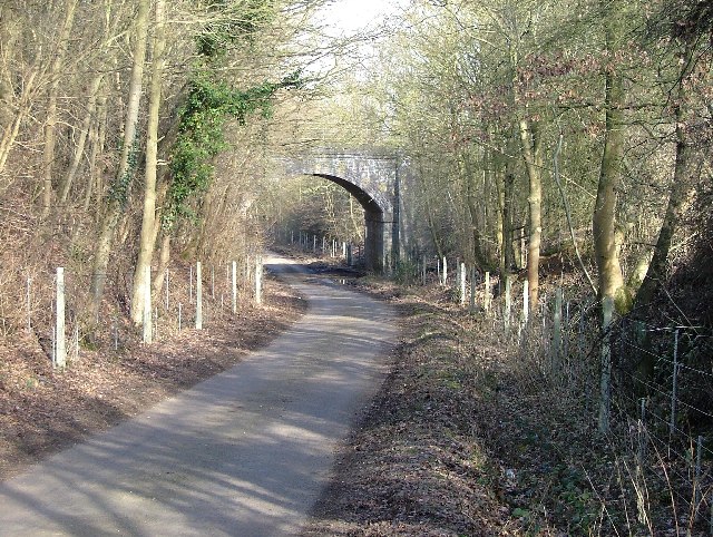
Hopground Spring is a picturesque woodland located in Hertfordshire, England. Situated in the heart of Hertfordshire's countryside, this enchanting forest covers an area of approximately 50 acres. It is a popular destination for nature enthusiasts, hikers, and families looking to escape the hustle and bustle of urban life.
The woodland is characterized by its dense canopies of towering trees, predominantly consisting of oak, beech, and birch. These majestic trees provide a serene and tranquil atmosphere, making it an ideal spot for relaxation and reflection. The forest floor is adorned with a lush carpet of vibrant bluebells during the spring season, creating a breathtaking sight for visitors.
Hopground Spring is home to an abundance of wildlife, including deer, foxes, rabbits, and a wide variety of bird species. Birdwatchers will delight in spotting species such as woodpeckers, owls, and finches amidst the leafy branches.
There are several well-maintained walking trails that wind their way through the woodland, allowing visitors to explore its natural beauty at their own pace. Along these paths, visitors may come across babbling brooks and small ponds, adding to the charm and serenity of the surroundings.
The forest is open to the public throughout the year, offering a peaceful retreat for those seeking solace in nature. Whether it's a leisurely stroll, a family picnic, or a photography expedition, Hopground Spring provides a captivating experience for all who venture into its enchanting realm.
If you have any feedback on the listing, please let us know in the comments section below.
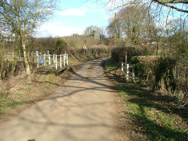
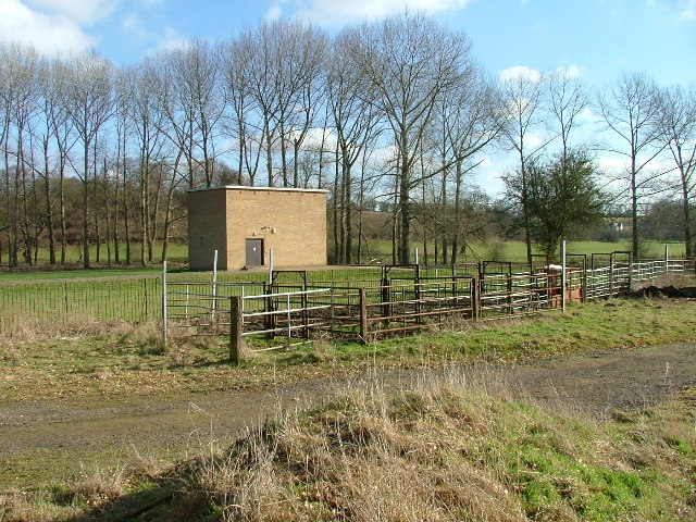
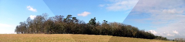
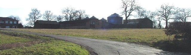
Hopground Spring Images
Images are sourced within 2km of 51.859117/-0.13983585 or Grid Reference TL2819. Thanks to Geograph Open Source API. All images are credited.


Hopground Spring is located at Grid Ref: TL2819 (Lat: 51.859117, Lng: -0.13983585)
Administrative County: Hertfordshire
District: East Hertfordshire
Police Authority: Hertfordshire
What 3 Words
///ample.strong.regard. Near Datchworth, Hertfordshire
Nearby Locations
Related Wikis

Datchworth
Datchworth is a village and civil parish between the towns of Hertford, Stevenage and Welwyn Garden City in the county of Hertfordshire, England. Sited...
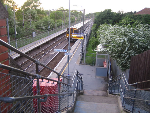
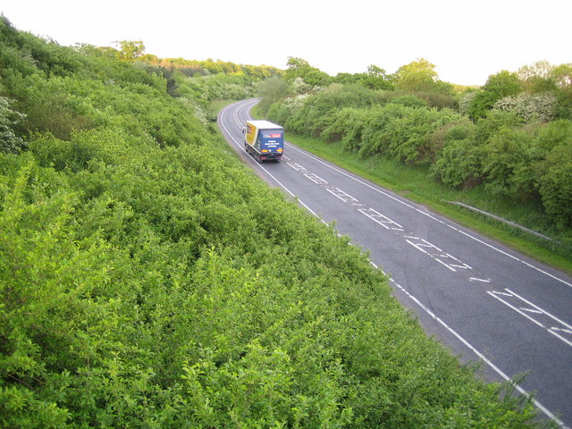
Watton-at-Stone railway station
Watton-at-Stone railway station serves the village of Watton-at-Stone in Hertfordshire, England. It is 23 miles 72 chains (23.90 miles, 38.46 km) down...

The Tilbury, Datchworth
The Tilbury is a public house and restaurant in Datchworth, Hertfordshire, England. It was formerly known as The Inn on the Green and The Three Horseshoes...

Hopper's Hall
Hopper's Hall is a grade II listed house in Watton Road, Datchworth, Hertfordshire. It dates from around 1640 with minor additions and alterations since...

A602 road
The A602 is a road linking Hitchin in Hertfordshire, England, with A10 at Ware in Hertfordshire, via Stevenage. The course of the road has changed significantly...
Watton-at-Stone
Watton-at-Stone is a village and civil parish in Hertfordshire, England, and is midway between the towns of Stevenage and Hertford in the valley of the...

Aston Bury
Aston Bury is a manor house near Aston, Hertfordshire, England. It is Grade I listed building.It was built in the mid 17th century, possibly by the Boteler...
The Horns, Bull's Green
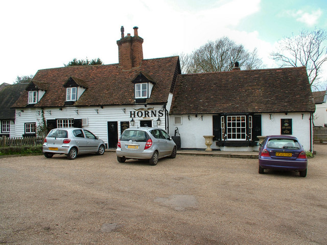
The Horns is a public house in Datchworth, Hertfordshire, England. It is situated on Bramfield Road in Bull's Green, a hamlet in the parish of Datchworth...
Have you been to Hopground Spring?
Leave your review of Hopground Spring below (or comments, questions and feedback).