Lady's Wood

Wood, Forest in Hertfordshire Stevenage

England

Lady's Wood

Parishes Mead. Parishes mead is a newer development on the east side of Stevenage.  There is a mixture of private and social housing here.
Parishes Mead. Credit: Robin Hall

Lady's Wood is a picturesque woodland located in Hertfordshire, England. Spread across an area of approximately 100 acres, it is a stunning example of an ancient forest that has been preserved for centuries. The wood is situated in a rural setting, surrounded by rolling hills and meadows, providing a serene and tranquil atmosphere.

The wood is predominantly made up of deciduous trees, including oak, beech, and ash, which create a dense canopy during the summer months, offering shade and shelter to a diverse range of flora and fauna. In spring, the forest floor comes alive with an array of wildflowers, such as bluebells and primroses, adding bursts of color to the landscape.

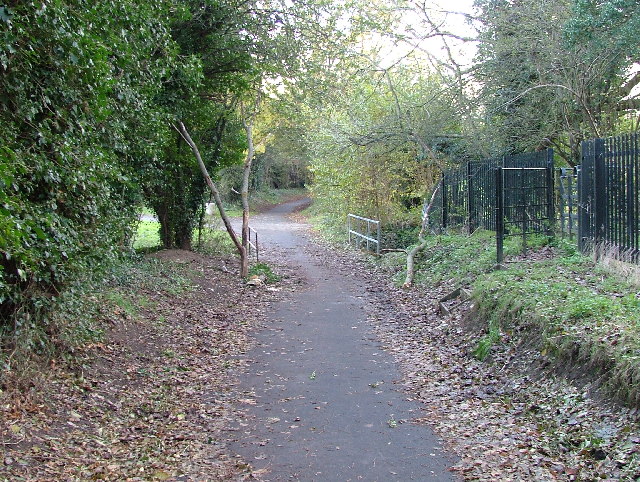
Lady's Wood is not only a haven for nature enthusiasts but also offers recreational opportunities for visitors. There are several well-maintained walking trails that wind through the wood, allowing visitors to explore its beauty at their own pace. These trails are suitable for all levels of fitness, ranging from leisurely strolls to more challenging hikes.

The wood is home to a variety of wildlife, including deer, foxes, badgers, and a wide range of bird species. Birdwatchers can spot woodpeckers, owls, and various songbirds as they go about their activities. The serene setting of Lady's Wood also makes it an ideal spot for bird photography and nature observation.

Overall, Lady's Wood is a natural gem in Hertfordshire, offering a peaceful retreat for nature lovers and an opportunity to connect with the beauty of the English countryside.

If you have any feedback on the listing, please let us know in the comments section below.
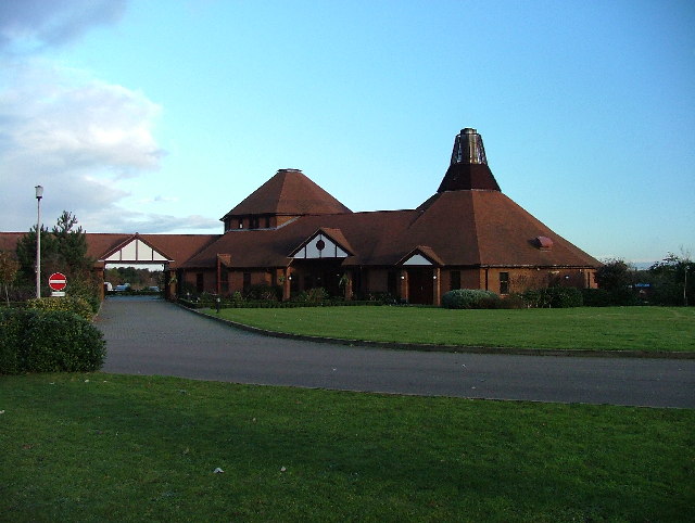
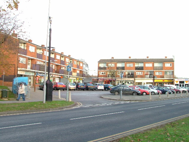
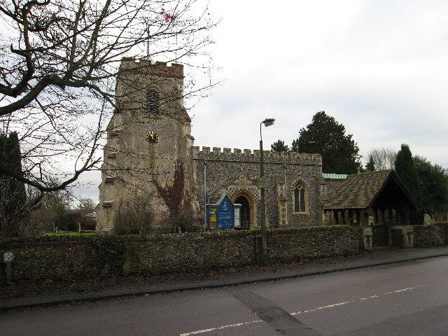
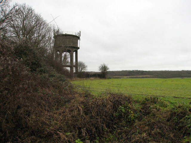
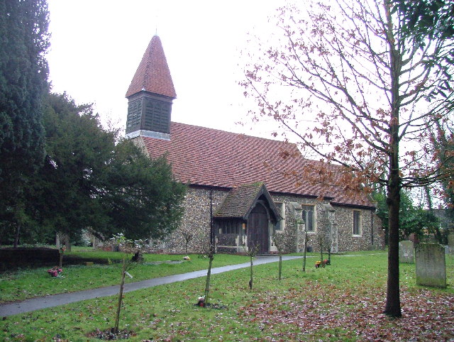
Lady's Wood Images

Images are sourced within 2km of 51.882615/-0.15543005 or Grid Reference TL2722. Thanks to Geograph Open Source API. All images are credited.

Parishes Mead. Parishes mead is a newer development on the east side of Stevenage.  There is a mixture of private and social housing here.
Parishes Mead.
Parishes mead is a newer development on the east side of Stevenage. There is a mixture of private and social housing here.
Harwood Park Crematorium. I took this photograph just before attending a funeral here.  Note the blue sky.  Within 20 minutes the sky was black, it started thundering and hailing - just as the congregation started on "morning has broken".  Just like a scene from "The Exorsist or The Omen.
Harwood Park Crematorium.
I took this photograph just before attending a funeral here. Note the blue sky. Within 20 minutes the sky was black, it started thundering and hailing - just as the congregation started on "morning has broken". Just like a scene from "The Exorsist or The Omen.
Ridlins Athletics Track This photo of the Ridlins Athletics track shows the west corner and the Bert Hill stand.  The back of the stand has space for community groups such as playgroups.
Ridlins Athletics Track
This photo of the Ridlins Athletics track shows the west corner and the Bert Hill stand. The back of the stand has space for community groups such as playgroups.
Football pitches These are to the north west of the running track.
Football pitches
These are to the north west of the running track.
Footbridge over Stevenage Brook. This footpath runs parallel to and within 30 yards of the main Stevenage - Hertford Road.
Footbridge over Stevenage Brook.
This footpath runs parallel to and within 30 yards of the main Stevenage - Hertford Road.
Shops in Kenilworth Close. Supermarket, newsagent, Chinese takeaway and alternative therapist.
Shops in Kenilworth Close.
Supermarket, newsagent, Chinese takeaway and alternative therapist.
Church of St Peter, Broadwater. One of a series of three photos taken from within a couple of hundred yards of each other.  Church shops and flats.  A whole community?
Church of St Peter, Broadwater.
One of a series of three photos taken from within a couple of hundred yards of each other. Church shops and flats. A whole community?
Flats on Broadwater Avenue Most housing in this area consists of two storey houses but there are a number of blocks of flats like this.
Flats on Broadwater Avenue
Most housing in this area consists of two storey houses but there are a number of blocks of flats like this.
Broadwater Avenue shops Very busy local shops in the same style as several other Stevenage neighbourhood centres.
Broadwater Avenue shops
Very busy local shops in the same style as several other Stevenage neighbourhood centres.
Longmeadow Evangelical Church Many of Stevenage's churche seem to thrive and this is one of them.
Longmeadow Evangelical Church
Many of Stevenage's churche seem to thrive and this is one of them.
St Mary's Church, Aston The church is built of flint with stone dressings on the nave and chancel and the roofs are covered with copper.
St Mary's Church, Aston
The church is built of flint with stone dressings on the nave and chancel and the roofs are covered with copper.
Aston Water Tower The Water Tower and surrounding countryside from the lane to Aston End
Aston Water Tower
The Water Tower and surrounding countryside from the lane to Aston End
St Marys, Shephall St Mary's Shephall is a lovely little old church in the middle of a sprawl of 20th century buildings.
St Marys, Shephall
St Mary's Shephall is a lovely little old church in the middle of a sprawl of 20th century buildings.
Shephalbury Park Primary School. This small area of Stevenage is stuffed with schools of all sizes and ages.
Shephalbury Park Primary School.
This small area of Stevenage is stuffed with schools of all sizes and ages.
Grace Community Church. I'm not sure what one of these is and it is not quite where the OS say it is.  It's round the corner.
Grace Community Church.
I'm not sure what one of these is and it is not quite where the OS say it is. It's round the corner.
Peartree Spring Infants and Junior Schools. Just up the road from the Grace Community Church on busy Hydean Way.
Peartree Spring Infants and Junior Schools.
Just up the road from the Grace Community Church on busy Hydean Way.
Heathcote School It is clear to me that the problem with photographing schools is that if done during the daytime you run the risk of attracting attention that you don't want.  By night it is too dark.  And you can't get close enough really most of the time.
Heathcote School
It is clear to me that the problem with photographing schools is that if done during the daytime you run the risk of attracting attention that you don't want. By night it is too dark. And you can't get close enough really most of the time.
Greenside School. This small area of Stevenage has so many schools that the average age in this area during the day must be about 11.
Greenside School.
This small area of Stevenage has so many schools that the average age in this area during the day must be about 11.
Show me another place!

Lady's Wood is located at Grid Ref: TL2722 (Lat: 51.882615, Lng: -0.15543005)

Administrative County: Hertfordshire

District: Stevenage

Police Authority: Hertfordshire

What 3 Words

///games.basically.veal. Near Knebworth, Hertfordshire

Related Wikis

Aston Bury

Aston Bury is a manor house near Aston, Hertfordshire, England. It is Grade I listed building.It was built in the mid 17th century, possibly by the Boteler...

Aston, Hertfordshire

Aston is a village and civil parish in the East Hertfordshire district of Hertfordshire, England. According to the 2001 census it had a population of...

Ridlins Mire

Ridlins Mire is a 1.6-hectare (4.0-acre) nature reserve managed by the Herts and Middlesex Wildlife Trust in Stevenage, Hertfordshire, England.This wetland...

Stevenage (UK Parliament constituency)

Stevenage is a constituency in Hertfordshire represented in the House of Commons of the UK Parliament since 2010 by Stephen McPartland, a member of the...

A602 road

The A602 is a road linking Hitchin in Hertfordshire, England, with A10 at Ware in Hertfordshire, via Stevenage. The course of the road has changed significantly...

Barnwell School

Barnwell School is a coeducational secondary school and sixth form that was established in 1959 and is situated in the south of Stevenage, Hertfordshire...

Shephall

Shephall (SHEP-all) is a neighbourhood of the new town of Stevenage in Hertfordshire. It was formerly a separate village and parish, being absorbed into...

Bragbury End

Bragbury End is a hamlet in Hertfordshire, England, and the location of Stevenage F.C.'s training ground.

Nearby Amenities

Located within 500m of 51.882615,-0.15543005
Cricket Ground
Local Ref: NR
Naptan AtcoCode: 210021300015
Naptan Bearing: NE
Naptan BusStopType: CUS
Naptan CommonName: Cricket Ground
Naptan Crossing: Cricket Ground
Naptan Indicator: nr
Naptan Landmark: Cricket Ground
Naptan NaptanCode: hrtdwdtp
Naptan PlusbusZoneRef: STEVNGE
Naptan ShortCommonName: NA
Naptan Street: Stringers Lane
Naptan Verified: no
Source: naptan_import
Lat/Long: 51.8858116/-0.151167
Material: wood
Power: pole
Lat/Long: 51.8800523/-0.1495033
Power: pole
Lat/Long: 51.8782392/-0.1567077
Material: wood
Power: pole
Lat/Long: 51.8796751/-0.1511182
Material: wood
Power: pole
Lat/Long: 51.8795344/-0.1526042
Material: wood
Power: pole
Lat/Long: 51.8794069/-0.1539024
Material: wood
Power: pole
Lat/Long: 51.88137/-0.1558307
Material: wood
Power: pole
Lat/Long: 51.882779/-0.1535991
Material: wood
Power: pole
Lat/Long: 51.8844115/-0.1517511
Material: wood
Power: pole
Lat/Long: 51.8808783/-0.1569063
Material: wood
Power: pole
Lat/Long: 51.8835853/-0.1526912
Power: pole
Lat/Long: 51.8798418/-0.1591875
Material: wood
Power: pole
Lat/Long: 51.8819529/-0.1545406
Power: pole
Lat/Long: 51.8803725/-0.1580087
Material: wood
Power: pole
Lat/Long: 51.8855745/-0.1503302
Power: pole
Lat/Long: 51.8823445/-0.1501152
Power: pole
Lat/Long: 51.8824704/-0.1517514
Power: pole
Lat/Long: 51.8815034/-0.1509413
Barrier: kissing_gate
Foot: yes
Source: GPS, observation
Lat/Long: 51.881573/-0.155225
Material: wood
Power: pole
Lat/Long: 51.8788044/-0.1553498
The data included in this document is from www.openstreetmap.org. The data is made available under ODbL.

Have you been to Lady's Wood?

Leave your review of Lady's Wood below (or comments, questions and feedback).