The Rookery
Wood, Forest in Lincolnshire
England
The Rookery

The Rookery in Lincolnshire is a picturesque wood located in the heart of the county. Spanning over a vast area, it is renowned for its dense forest and diverse wildlife. The wood is characterized by its towering ancient oak and beech trees, which provide a lush canopy and create a serene atmosphere.
The Rookery is a well-preserved natural habitat that boasts a rich biodiversity. It is home to a wide range of bird species, including rooks, which inspired its name. The wood is also inhabited by various mammals such as deer, foxes, and squirrels, making it a popular spot for wildlife enthusiasts and photographers.
Visitors to The Rookery can enjoy a peaceful and tranquil environment, perfect for leisurely walks and nature exploration. The wood features well-maintained footpaths and trails that lead through its enchanting landscapes, offering opportunities for hiking and birdwatching. In the spring, the wood is adorned with a vibrant display of wildflowers, adding to its charm.
The Rookery is not only a haven for wildlife but also serves as an important ecological site. Its dense vegetation and ancient trees contribute to the preservation of the local ecosystem, providing habitats and shelter for numerous species. The wood's conservation efforts ensure the protection of its natural beauty and promote environmental awareness.
Overall, The Rookery in Lincolnshire is a captivating destination that offers a glimpse into the region's natural heritage. With its stunning woodland scenery and diverse wildlife, it provides a unique and enriching experience for nature enthusiasts and those seeking a peaceful retreat in the heart of nature.
If you have any feedback on the listing, please let us know in the comments section below.
The Rookery Images
Images are sourced within 2km of 53.514518/-0.092913365 or Grid Reference TA2603. Thanks to Geograph Open Source API. All images are credited.


The Rookery is located at Grid Ref: TA2603 (Lat: 53.514518, Lng: -0.092913365)
Unitary Authority: North East Lincolnshire
Police Authority: Humberside
What 3 Words
///lion.owner.volume. Near Waltham, Lincolnshire
Nearby Locations
Related Wikis

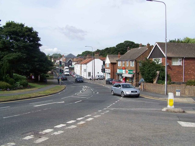
Waltham, Lincolnshire
Waltham is a large village and civil parish in North East Lincolnshire, England. It is 4 miles (6 km) south of Grimsby close to the suburb of Scartho and...

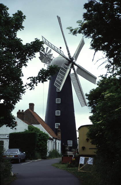
Waltham Windmill
Waltham Windmill is a six-sailed windmill located in the village of Waltham, five miles from Grimsby in North East Lincolnshire, England. It is renowned...

Waltham Toll Bar Academy
Waltham Toll Bar Academy is a co-educational secondary school and sixth form, in New Waltham, North East Lincolnshire, England. == Admissions == A secondary...
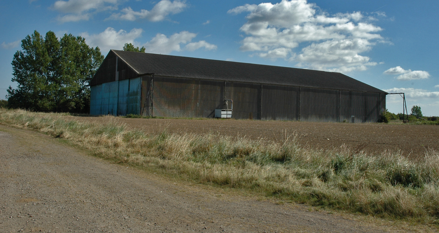
RAF Grimsby
Royal Air Force Grimsby or more simply RAF Grimsby is a former Royal Air Force station located near Grimsby, Lincolnshire, England. The site was operational...

Barnoldby le Beck
Barnoldby le Beck is a village and civil parish in North East Lincolnshire, England, It is situated just east of the A18 and is close to the village of...

Brigsley
Brigsley is a village and civil parish in North East Lincolnshire, England, and on the B1203 road, 1 mile (1.6 km) south from Waltham. According to the...
Waltham railway station (England)
Waltham was a railway station on the East Lincolnshire Railway which served the villages of New Waltham and Humberston in Lincolnshire between 1848 and...

Church of St Peter, Holton-le-Clay
The Church of St Peter is the Grade II* listed Anglican parish church for the village of Holton-le-Clay in Lincolnshire. It is dedicated to St Peter and...
Nearby Amenities
Located within 500m of 53.514518,-0.092913365Have you been to The Rookery?
Leave your review of The Rookery below (or comments, questions and feedback).