Cockcraft's Spinney
Wood, Forest in Huntingdonshire Huntingdonshire
England
Cockcraft's Spinney

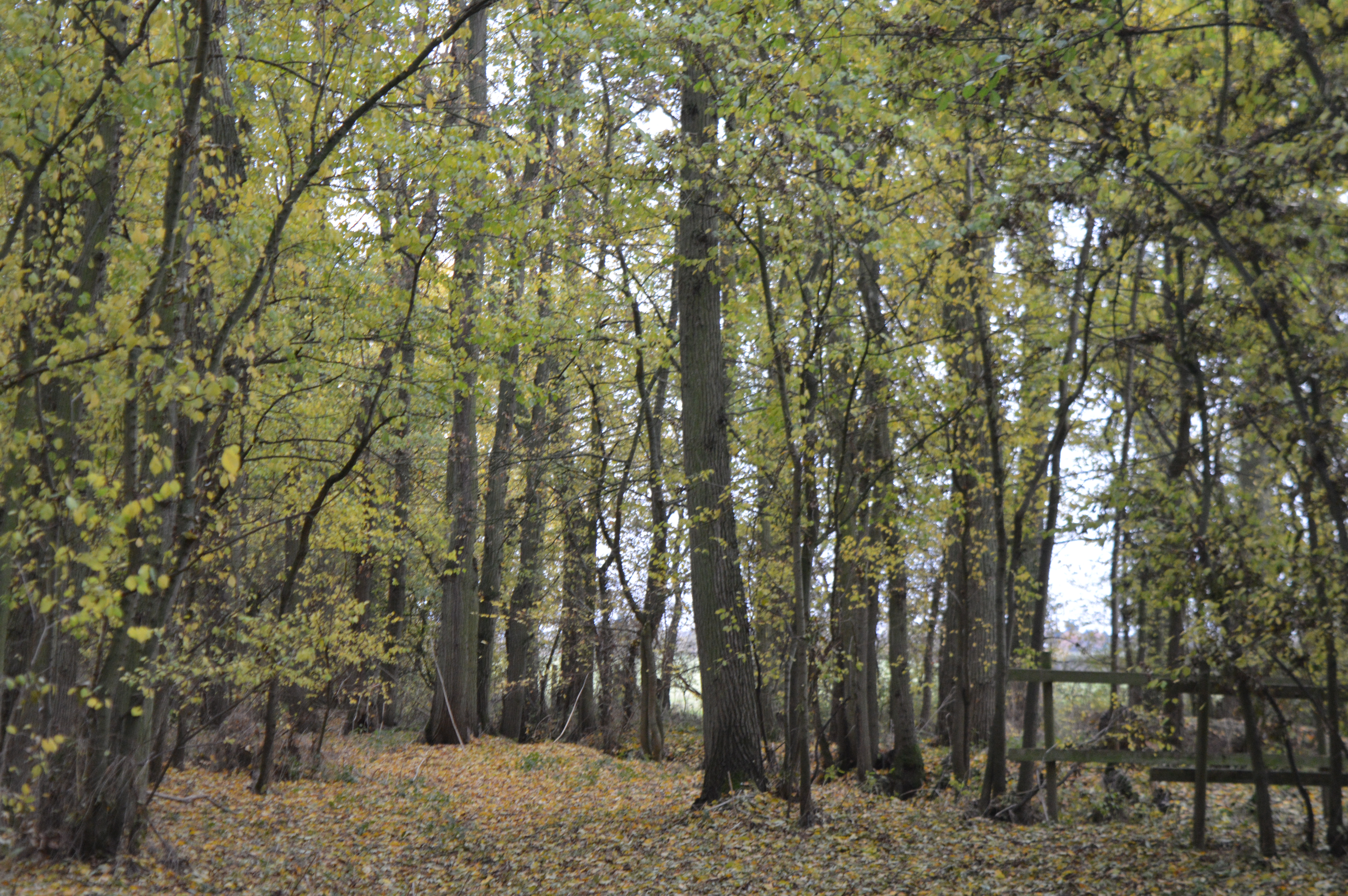
Cockcraft's Spinney is a picturesque wood located in the county of Huntingdonshire, England. Situated in the heart of a bustling town, it offers a tranquil escape from the everyday hustle and bustle. The Spinney is a remnant of the ancient forest that once covered this area and serves as a valuable green space for the local community.
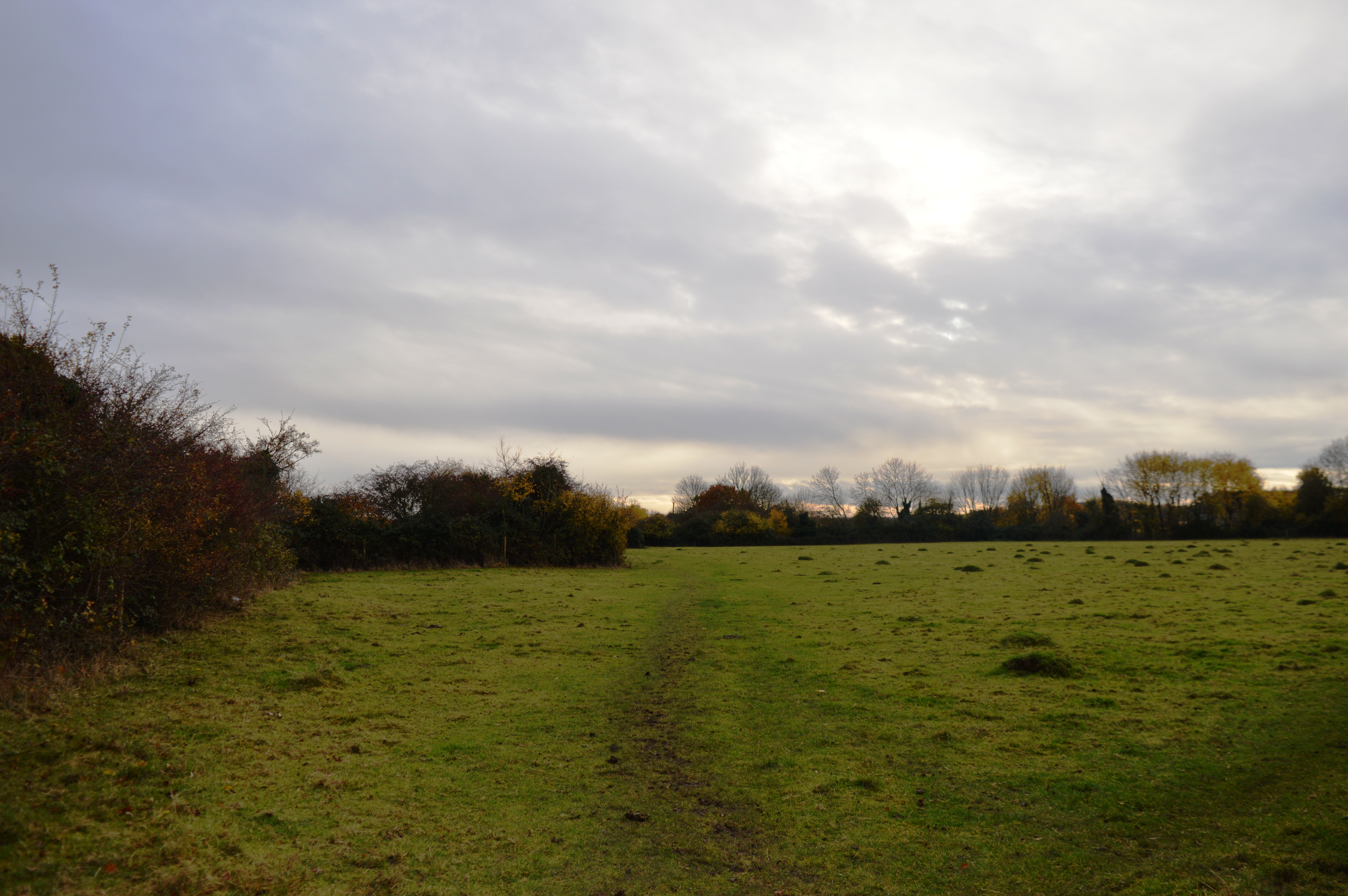
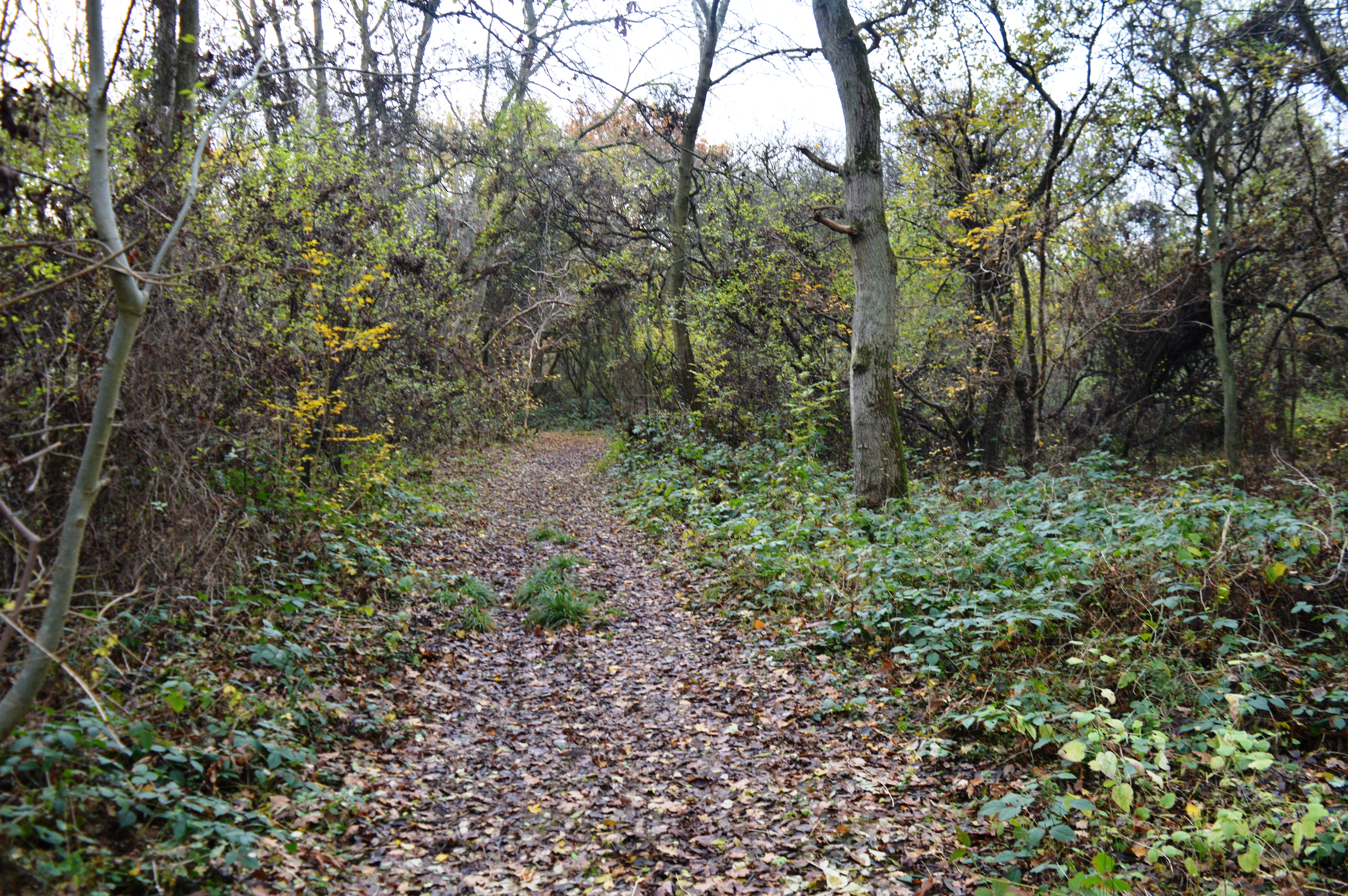
Covering an area of approximately 20 acres, Cockcraft's Spinney is characterized by its diverse range of trees, including oak, beech, and ash. The wood is home to a rich variety of flora and fauna, making it a haven for nature enthusiasts and birdwatchers. Visitors can expect to see an array of bird species, such as woodpeckers, tits, and finches, as well as small mammals like squirrels and foxes.
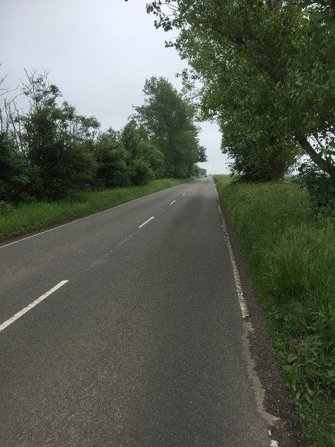
The Spinney offers a network of well-maintained footpaths and trails, allowing visitors to explore its enchanting beauty. It also features a designated picnic area, making it an ideal spot for families and friends to enjoy a day out in nature. The wood is managed by the local council, ensuring its preservation and protection for future generations.
Cockcraft's Spinney holds great historical significance, with evidence of human activity dating back centuries. Archaeologists have discovered ancient artifacts, including flint tools and pottery fragments, indicating that the area was inhabited during the Stone Age and Iron Age. The wood's name is thought to have originated from the Cockcraft family, who were prominent landowners in the area during medieval times.
Overall, Cockcraft's Spinney is a cherished natural gem in Huntingdonshire, offering a peaceful retreat and a glimpse into the area's rich history and biodiversity.
If you have any feedback on the listing, please let us know in the comments section below.
Cockcraft's Spinney Images
Images are sourced within 2km of 52.425026/-0.14225389 or Grid Reference TL2682. Thanks to Geograph Open Source API. All images are credited.


Cockcraft's Spinney is located at Grid Ref: TL2682 (Lat: 52.425026, Lng: -0.14225389)
Administrative County: Cambridgeshire
District: Huntingdonshire
Police Authority: Cambridgeshire
What 3 Words
///farms.vibe.truckload. Near Ramsey, Cambridgeshire
Nearby Locations
Related Wikis
Upwood
Upwood is a village and former civil parish, now in the parish of Upwood and the Raveleys, in the non-metropolitan district and historic county of Huntingdonshire...
Upwood Meadows
Upwood Meadows is a 6 hectare biological Site of Special Scientific Interest west of Upwood in Cambridgeshire. It is also a National Nature Reserve and...

Wistow, Cambridgeshire
Wistow is a village and civil parish in Cambridgeshire, England. Wistow lies approximately 6 miles (10 km) north-east of Huntingdon, near Warboys. Wistow...

RAF Upwood
Royal Air Force Upwood or more simply RAF Upwood is a former Royal Air Force station adjacent to the village of Upwood, Cambridgeshire, England, in the...
The Raveleys
Great Raveley and Little Raveley are villages near Upwood south of Ramsey. They are located in Huntingdonshire (now part of Cambridgeshire), England, 3½...
Lady's Wood
Lady's Wood is a 7.1-hectare (18-acre) nature reserve west of Upwood in Cambridgeshire. It is managed by the Wildlife Trust for Bedfordshire, Cambridgeshire...
Raveley Wood
Raveley Wood is a 5.6-hectare (14-acre) nature reserve south-west of Upwood in Cambridgeshire. It is managed by the Wildlife Trust for Bedfordshire, Cambridgeshire...
Bury, Cambridgeshire
Bury is a village and civil parish in Cambridgeshire, England. Bury lies approximately 7 miles (11 km) north/north east of Huntingdon and is near to Ramsey...
Nearby Amenities
Located within 500m of 52.425026,-0.14225389Have you been to Cockcraft's Spinney?
Leave your review of Cockcraft's Spinney below (or comments, questions and feedback).