Charters Spinney

Wood, Forest in Huntingdonshire Huntingdonshire

England

Charters Spinney

House on Longholme Road, Upwood
House on Longholme Road, Upwood Credit: David Howard

Charters Spinney is a small wood located in the county of Huntingdonshire, England. Situated within the larger area of Woodwalton Fen, it is a designated Site of Special Scientific Interest (SSSI) due to its unique ecological features and diverse range of plant and animal species.

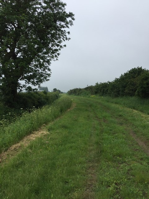
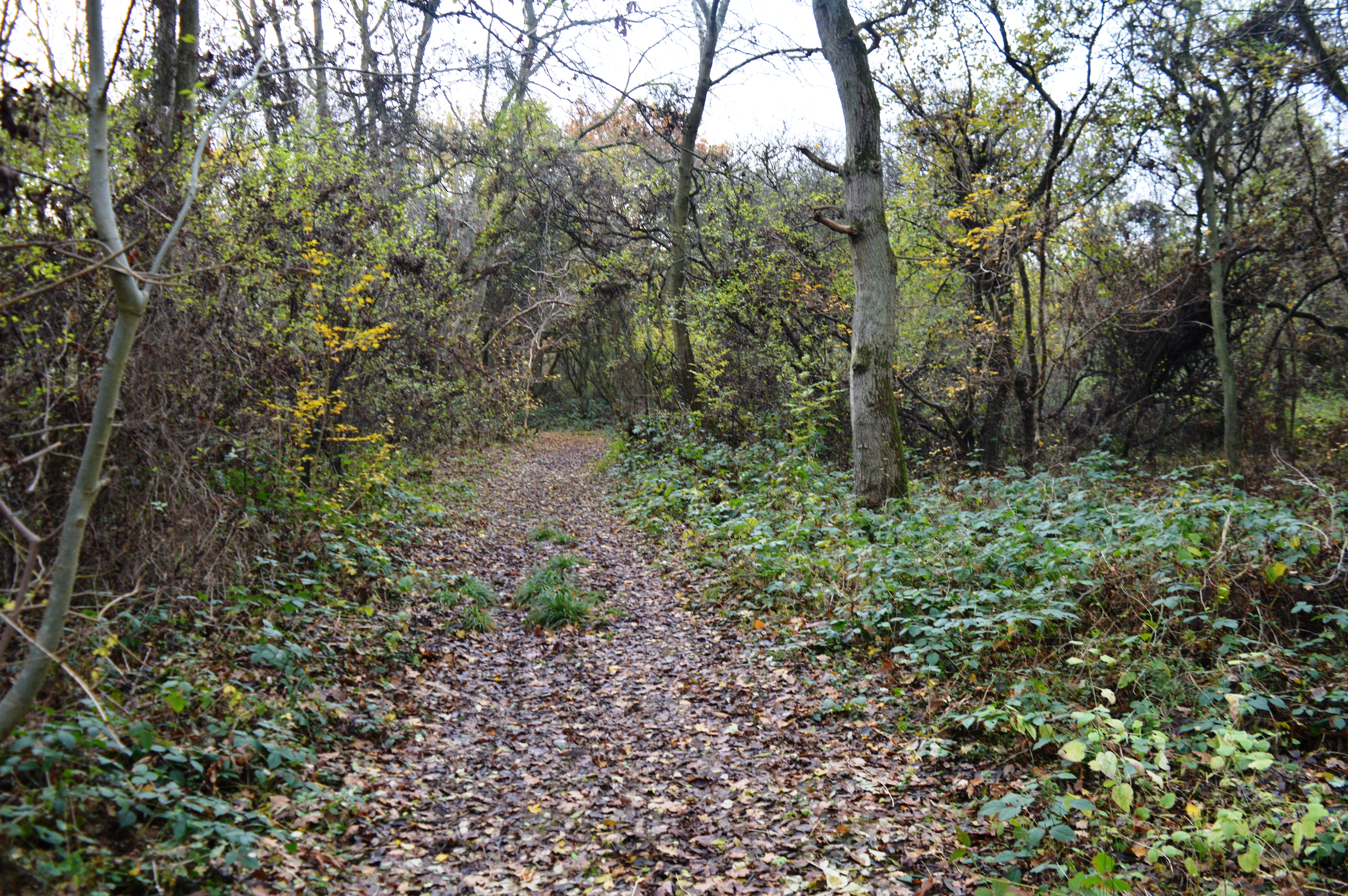
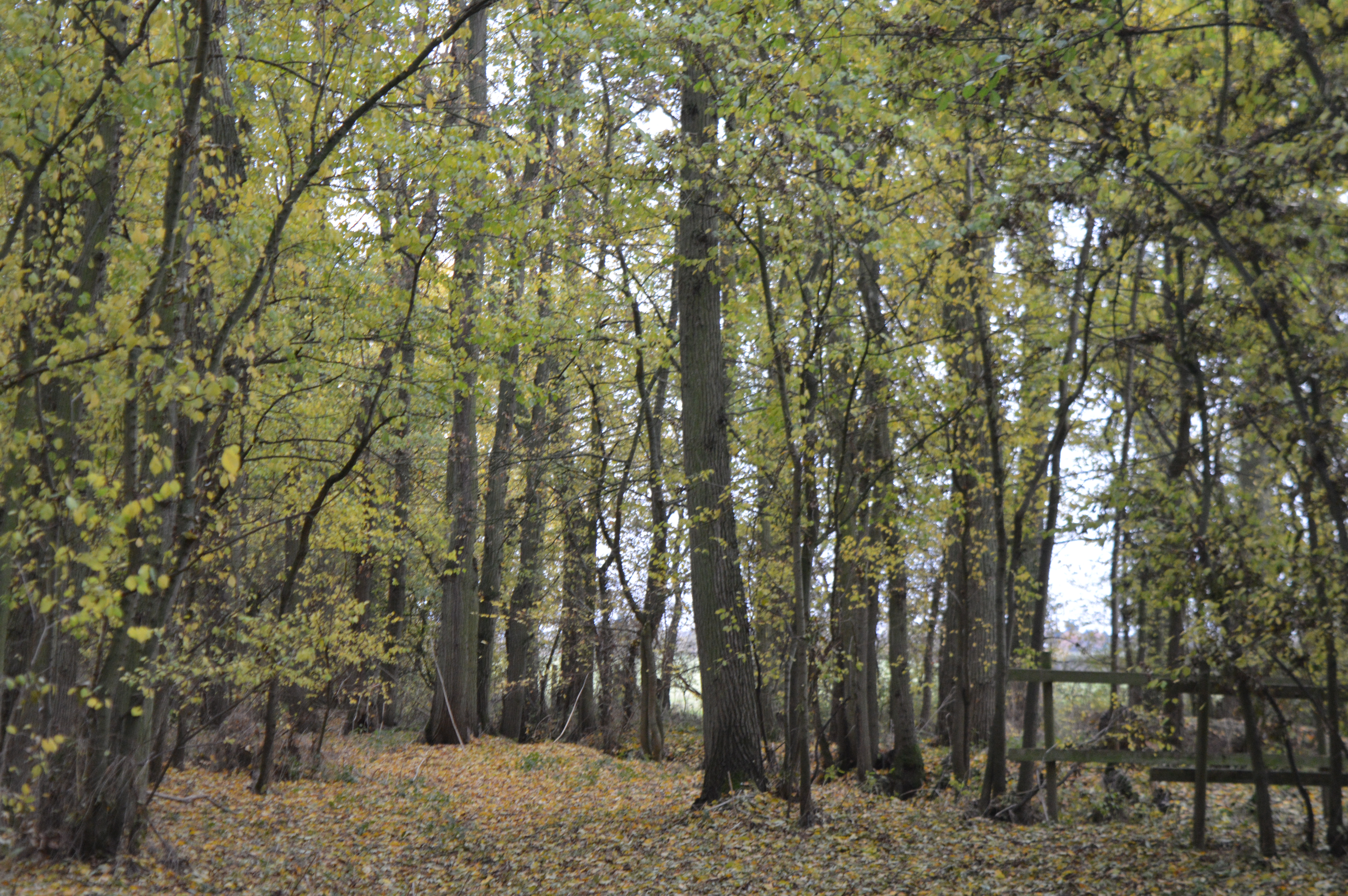
Covering an area of approximately 20 hectares, Charters Spinney is characterized by its dense woodland and rich undergrowth. The dominant tree species found in the spinney include oak, ash, and birch, which provide a habitat for a variety of woodland birds such as woodpeckers, tits, and finches. The forest floor is covered in a carpet of wildflowers, including bluebells, primroses, and wood anemones, creating a beautiful and vibrant landscape during the spring months.

Charters Spinney also boasts a small stream that runs through the wood, adding to its natural charm. The stream is home to a range of aquatic wildlife, including frogs, newts, and dragonflies. Additionally, the wood provides shelter for various mammals, such as squirrels, rabbits, and foxes.

With its tranquil atmosphere, Charters Spinney is a popular destination for nature enthusiasts and walkers who wish to explore the natural beauty of the area. There are well-maintained footpaths that wind through the wood, allowing visitors to immerse themselves in the peaceful surroundings and observe the abundance of wildlife that thrives within this unique woodland habitat.

Overall, Charters Spinney in Huntingdonshire is a picturesque and biodiverse forest, offering visitors the opportunity to experience the wonders of nature in a serene and enchanting setting.

If you have any feedback on the listing, please let us know in the comments section below.

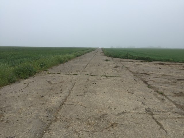
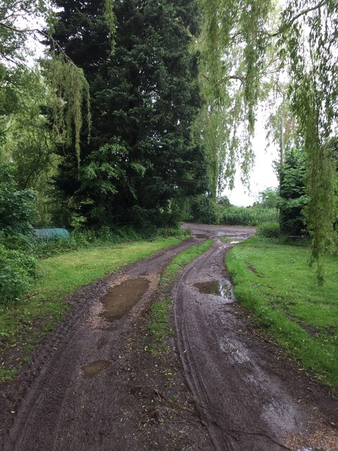
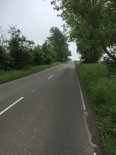
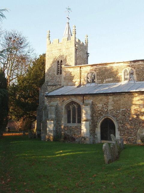
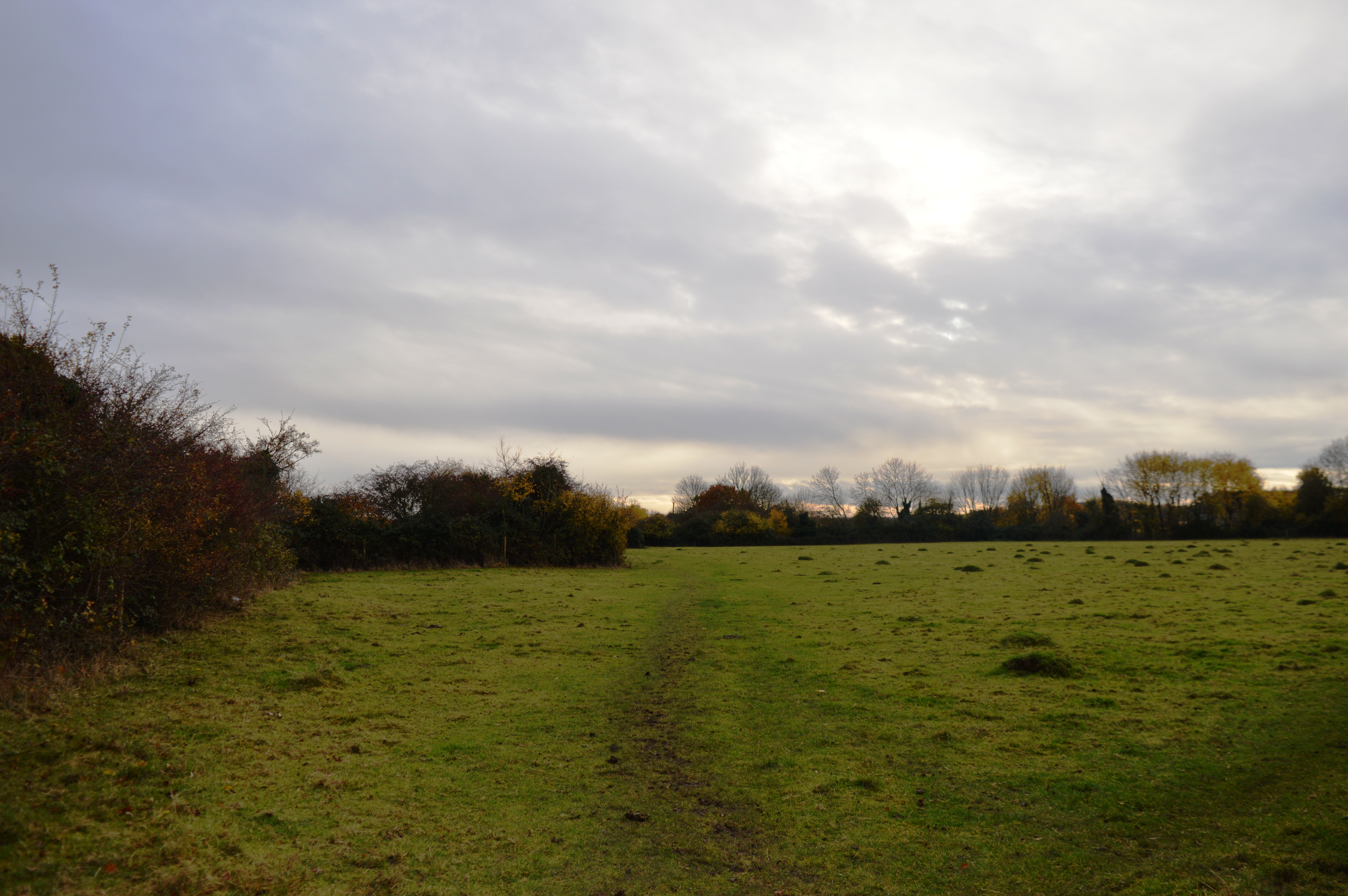
Charters Spinney Images

Images are sourced within 2km of 52.429528/-0.14381497 or Grid Reference TL2682. Thanks to Geograph Open Source API. All images are credited.

House on Longholme Road, Upwood
Longholme Road, Upwood
Woods by Ramsey Road, Upwood
Huntingdon Road, Upwood
Field by Huntingdon Road, Great Raveley
Former R.A.F. Upwood, Ramsey: aerial 2016 See <span class="nowrap"><a title="http://wikimapia.org/2232236/Former-RAF-Upwood" rel="nofollow ugc noopener" href="http://wikimapia.org/2232236/Former-RAF-Upwood">Link</a><img style="margin-left:2px;" alt="External link" title="External link - shift click to open in new window" src="https://s1.geograph.org.uk/img/external.png" width="10" height="10"/></span>
Former R.A.F. Upwood, Ramsey: aerial 2016
See LinkExternal link
The Rothschild Way
The Rothschild Way
Just off the Rothschild Way
The Rothschild Way
The Rothschild Way
The Rothschild Way
The Rothschild Way
Perimeter track for Upwood airfield
Bury Lane
Bury Lane
Bury Lane
Bury Lane
Longholme Road
Longholme Road
Upwood street scene
Upwood street scene
Parish allotments, Upwood
Show me another place!

Charters Spinney is located at Grid Ref: TL2682 (Lat: 52.429528, Lng: -0.14381497)

Administrative County: Cambridgeshire

District: Huntingdonshire

Police Authority: Cambridgeshire

What 3 Words

///acrobatic.doors.calculating. Near Ramsey, Cambridgeshire

Related Wikis

Upwood

Upwood is a village and former civil parish, now in the parish of Upwood and the Raveleys, in the non-metropolitan district and historic county of Huntingdonshire...

Upwood Meadows

Upwood Meadows is a 6 hectare biological Site of Special Scientific Interest west of Upwood in Cambridgeshire. It is also a National Nature Reserve and...

RAF Upwood

Royal Air Force Upwood or more simply RAF Upwood is a former Royal Air Force station adjacent to the village of Upwood, Cambridgeshire, England, in the...

Wistow, Cambridgeshire

Wistow is a village and civil parish in Cambridgeshire, England. Wistow lies approximately 6 miles (10 km) north-east of Huntingdon, near Warboys. Wistow...

Lady's Wood

Lady's Wood is a 7.1-hectare (18-acre) nature reserve west of Upwood in Cambridgeshire. It is managed by the Wildlife Trust for Bedfordshire, Cambridgeshire...

Raveley Wood

Raveley Wood is a 5.6-hectare (14-acre) nature reserve south-west of Upwood in Cambridgeshire. It is managed by the Wildlife Trust for Bedfordshire, Cambridgeshire...

The Raveleys

Great Raveley and Little Raveley are villages near Upwood south of Ramsey. They are located in Huntingdonshire (now part of Cambridgeshire), England, 3½...

Bury, Cambridgeshire

Bury is a village and civil parish in Cambridgeshire, England. Bury lies approximately 7 miles (11 km) north/north east of Huntingdon and is near to Ramsey...

Nearby Amenities

Located within 500m of 52.429528,-0.14381497
Give Way
Lat/Long: 52.4306748/-0.1466933
Bus Stop
Ramsey Road
Bus: yes
Naptan AtcoCode: 0500HUPWO001
Naptan Bearing: NE
Naptan BusStopType: CUS
Naptan CommonName: Ramsey Road
Naptan Indicator: opp
Naptan Landmark: Ramsey Road
Naptan NaptanCode: cmbdtjgd
Naptan Street: High Street
Naptan Verified: no
Public Transport: platform
Source: naptan_import
Lat/Long: 52.4305812/-0.1469985
Bus Stop
Church Lane
Bus: yes
Naptan AtcoCode: 0500HUPWO002
Naptan Bearing: NE
Naptan CommonName: Church Lane
Naptan Indicator: opp
Naptan Landmark: Church Lane
Naptan NaptanCode: cmbdtjgj
Naptan Street: High Street
Naptan Verified: no
Public Transport: platform
Source: naptan_import
Lat/Long: 52.4282958/-0.1491978
Bus Stop
Ramsey Road
Bus: yes
Naptan AtcoCode: 0500HUPWO003
Naptan Bearing: SW
Naptan CommonName: Ramsey Road
Naptan Indicator: near
Naptan Landmark: Ramsey Road
Naptan NaptanCode: cmbdtjgm
Naptan Street: High Street
Naptan Verified: no
Public Transport: platform
Source: naptan_import
Lat/Long: 52.4305171/-0.1469276
Bus Stop
Church Lane
Bus: yes
Naptan AtcoCode: 0500HUPWO004
Naptan Bearing: SW
Naptan BusStopType: CUS
Naptan CommonName: Church Lane
Naptan Indicator: near
Naptan Landmark: Church Lane
Naptan NaptanCode: cmbdtjgp
Naptan Street: High Street
Naptan Verified: no
Public Transport: platform
Source: naptan_import
Lat/Long: 52.4282576/-0.1490523
Post Box
Ref: PE26 226
Lat/Long: 52.4304895/-0.1466781
Providence Place
Tourism: guest_house
Lat/Long: 52.425888/-0.1475699
Crossing
Lat/Long: 52.4304027/-0.1462361
Nene Valley Gliding Club
Aeroway: aerodrome
Alt Name: NVGC
Sport: gliding
Lat/Long: 52.4321899/-0.1474349
Public Bookcase
Little Free Library
Booth: K6
Brand: Little Free Library
Brand Wikidata: Q6650101
Brand Wikipedia: en:Little Free Library
Disused Amenity: telephone
Man Made: telephone_box
Old Phone Box: yes
Operator: Little Free Library
Public Bookcase Type: phone_box
Website: http://vimeo.com/72957294
Lat/Long: 52.4280987/-0.1493614
Give Way
Lat/Long: 52.4270814/-0.1463829
Village Sign
Historic: monument
Lat/Long: 52.4269814/-0.1463827
Bench
Lat/Long: 52.4295486/-0.1430663
Bench
Lat/Long: 52.4294361/-0.1439932
Waste Basket
Lat/Long: 52.4295071/-0.1430507
Waste Basket
Lat/Long: 52.4305724/-0.1466442
Communication Mobile Phone: yes
Man Made: mast
Tower Type: communication
Lat/Long: 52.4291904/-0.1430634
Grit Bin
Lat/Long: 52.4303338/-0.1386751
Information: board
Tourism: information
Lat/Long: 52.4303681/-0.1393201
Grit Bin
Lat/Long: 52.4299527/-0.1408436
Grit Bin
Lat/Long: 52.4279246/-0.1493943
Waste Basket
Lat/Long: 52.4281511/-0.1493125
Information: board
Tourism: information
Lat/Long: 52.4280505/-0.149401
Bench
Lat/Long: 52.428174/-0.1492897
Waste Basket
Lat/Long: 52.4301049/-0.1404433
Bench
Backrest: no
Colour: blue
Material: metal
Lat/Long: 52.4300133/-0.1431872
Bench
Backrest: no
Colour: blue
Material: metal
Lat/Long: 52.4300738/-0.1431711
WWI Airmen Memorial
Historic: memorial
Inscription: In memory of 2nd Lt A E Parks and 2nd Lt A H Thompson who died on the airfield opposite here on 7th September 1918 Forever remembered
Material: stone
Memorial: memorial
Lat/Long: 52.4304565/-0.1465104
Information: board
Operator: Parish Council
Tourism: information
Lat/Long: 52.4278839/-0.1493482
Edwards Of Upwood
Operator: Edwards
Shop: farm
Lat/Long: 52.4293575/-0.1481037
Barrier: bollard
Lat/Long: 52.4304831/-0.139297
Crossing
Lat/Long: 52.4274389/-0.1475231
Waste Basket
Colour: black
Material: plastic
Lat/Long: 52.4303392/-0.1386222
Fire Hydrant
Emergency: fire_hydrant
Water Source: main
Lat/Long: 52.4298222/-0.1424184
Bench
Colour: black
Lat/Long: 52.4270929/-0.1465509
The data included in this document is from www.openstreetmap.org. The data is made available under ODbL.

Have you been to Charters Spinney?

Leave your review of Charters Spinney below (or comments, questions and feedback).