Lord's Acre

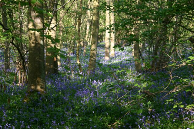
Wood, Forest in Huntingdonshire Huntingdonshire

England

Lord's Acre

Great Gransden Windmill A preserved Windmill located off the beaten track in the village of Great Gransden
Great Gransden Windmill Credit: Richard Thomas

The requested URL returned error: 429 Too Many Requests

If you have any feedback on the listing, please let us know in the comments section below.
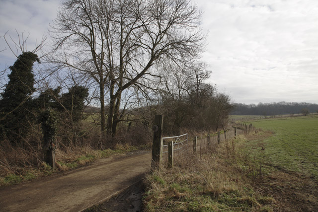
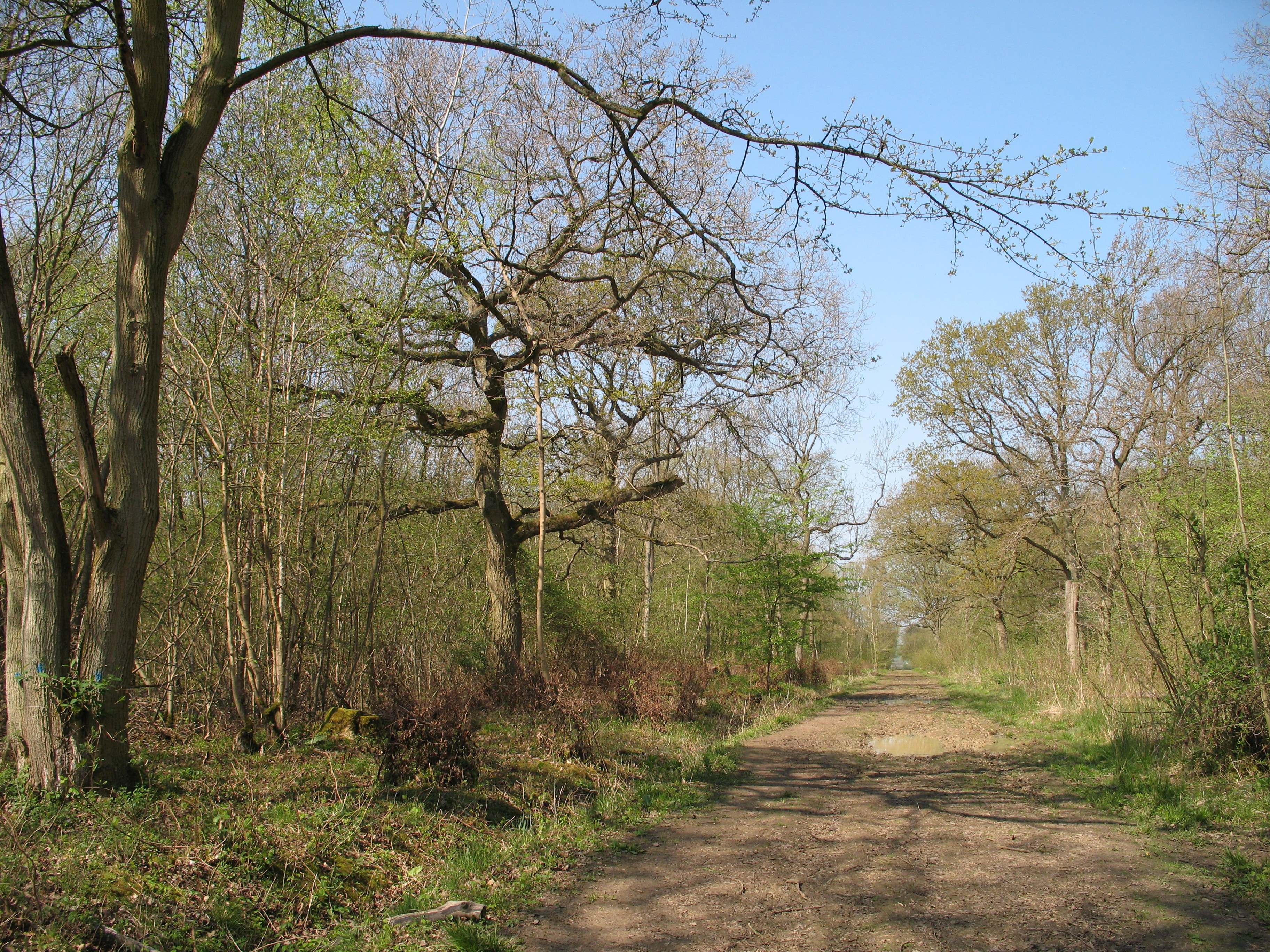
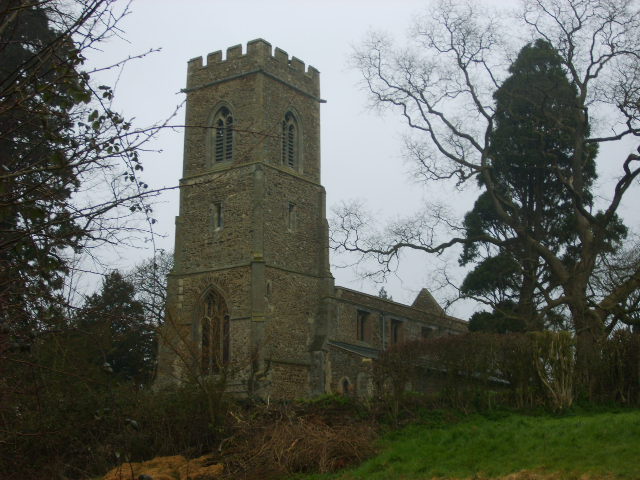
Lord's Acre Images

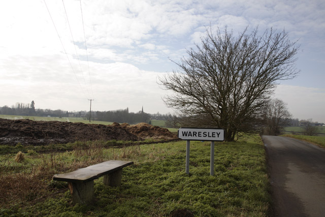
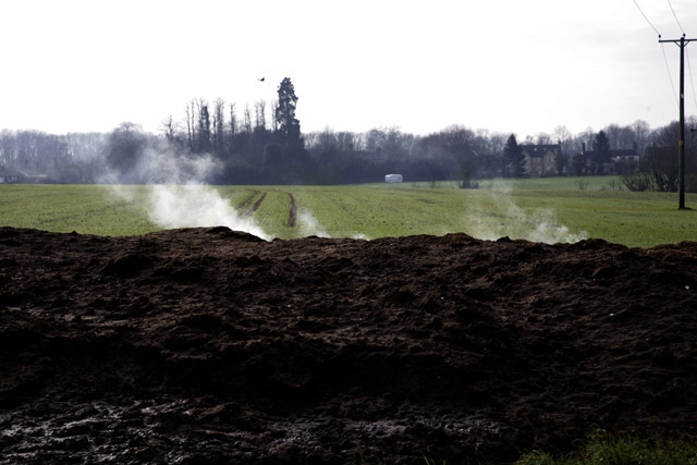
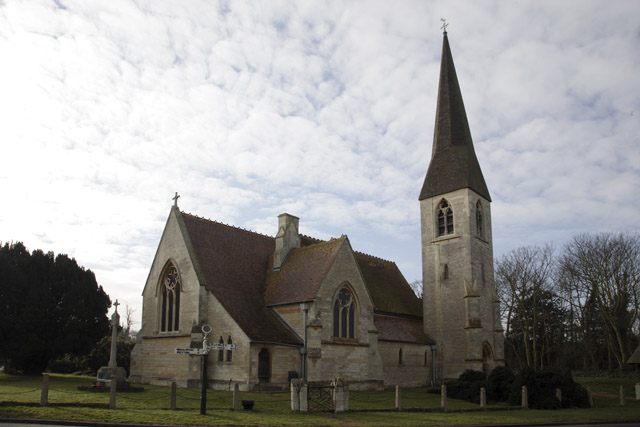
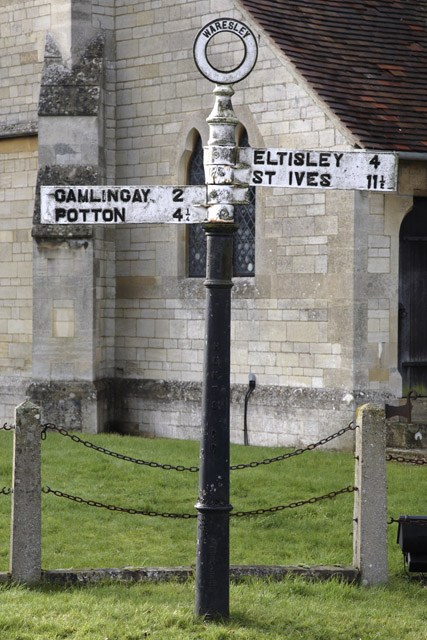
Images are sourced within 2km of 52.179196/-0.15285174 or Grid Reference TL2655. Thanks to Geograph Open Source API. All images are credited.

Great Gransden Windmill A preserved Windmill located off the beaten track in the village of Great Gransden
Great Gransden Windmill
A preserved Windmill located off the beaten track in the village of Great Gransden
Bluebells in Waresley woods
Elm Cottage, Great Gransden, Cambridgeshire
Baldwins Manor, Great Gransden, Cambridgeshire
Stable, Great Gransden, Cambridgeshire A shed-like construction where the intended occupants do not appear to be at home.
Stable, Great Gransden, Cambridgeshire
A shed-like construction where the intended occupants do not appear to be at home.
Horticultural Tunnels, Great Gransden, Cambridgeshire
Moat, Great Gransden, Cambridgeshire
Flood Debris, Great Gransden, Cambridgeshire The big green turtle sandbox has been washed away from its child owner.
Flood Debris, Great Gransden, Cambridgeshire
The big green turtle sandbox has been washed away from its child owner.
Bench next to dung heap, Waresley, Cambridgeshire
Vapour, Waresley, Cambridgeshire Manure is hot, weather is not.
Vapour, Waresley, Cambridgeshire
Manure is hot, weather is not.
Church, Waresley, Cambridgeshire
Pump, Waresley, Cambridgeshire The inscription reads: "Whosoever drinketh of this water shall thirst again.
But whosoever drinketh of the water that I shall give him shall never thirst".
Pump, Waresley, Cambridgeshire
The inscription reads: "Whosoever drinketh of this water shall thirst again. But whosoever drinketh of the water that I shall give him shall never thirst".
Sign Post, Waresley, Cambridgeshire
Post Box, Waresley, Cambridgeshire
Duncombe Arms, Waresley, Cambridgeshire
Vicarage Road, Waresley, Cambridgeshire
Road to Waresley Wood, Waresley, Cambridgeshire Waresley Wood can be seen in the distance on the right.
Road to Waresley Wood, Waresley, Cambridgeshire
Waresley Wood can be seen in the distance on the right.
Show me another place!

Lord's Acre is located at Grid Ref: TL2655 (Lat: 52.179196, Lng: -0.15285174)

Administrative County: Cambridgeshire

District: Huntingdonshire

Police Authority: Cambridgeshire

What 3 Words

///puff.baseballs.crank. Near Great Gransden, Cambridgeshire

Related Wikis

Waresley and Gransden Woods

Waresley and Gransden Woods is a 50-hectare (120-acre) nature reserve between Waresley and Great Gransden in Cambridgeshire, England. It is managed by...

Great Gransden

Great Gransden is a civil parish and village in the Huntingdonshire district of Cambridgeshire, England. In 2001, the parish population was 969, which...

The Chequers, Little Gransden

The Chequers is a pub in Little Gransden, Cambridgeshire. It has served the village since around 1764, and although Little Gransden had four pubs at one...

Little Gransden

Little Gransden is a civil parish and village in South Cambridgeshire, England. In 2001 the population was 262 people, including Waresley and increasing...

Nearby Amenities

Located within 500m of 52.179196,-0.15285174
Locked gate
Access: no
Barrier: kissing_gate
Note: Former permissive path now closed
Lat/Long: 52.1821552/-0.1500695
The data included in this document is from www.openstreetmap.org. The data is made available under ODbL.

Have you been to Lord's Acre?

Leave your review of Lord's Acre below (or comments, questions and feedback).