Aspen Shaw

Wood, Forest in Sussex Mid Sussex

England

Aspen Shaw

View WSW along the South Downs from Wolstonbury Hill
View WSW along the South Downs from Wolstonbury Hill Credit: Ian Cunliffe

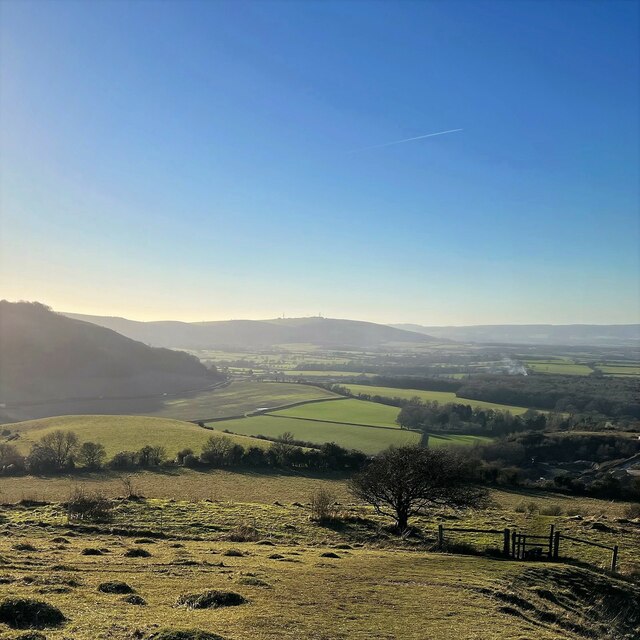
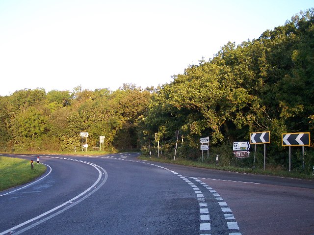
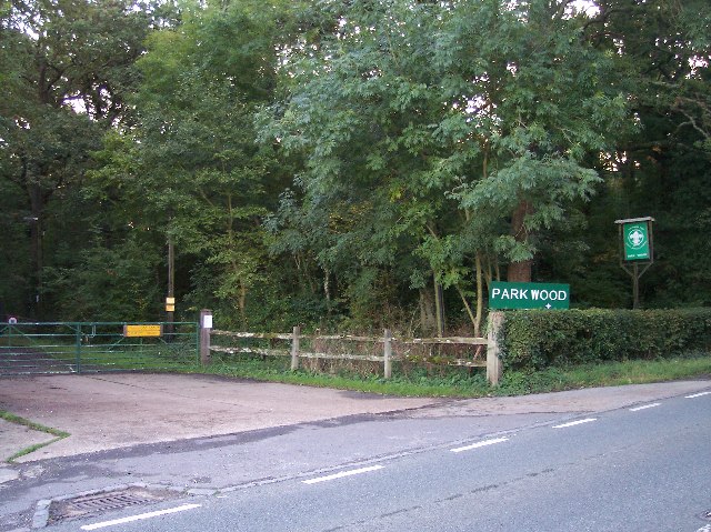
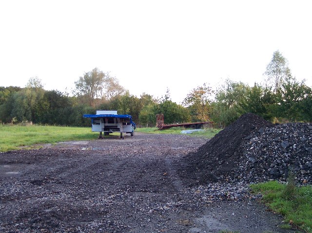
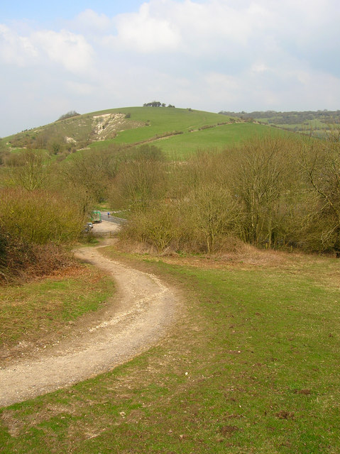
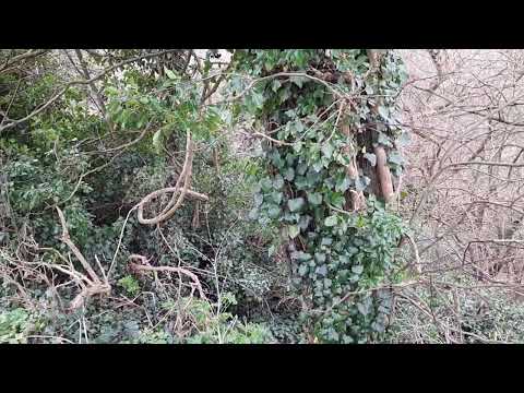
Aspen Shaw is a charming woodland located in Sussex, England. Nestled amidst the rolling hills and picturesque landscapes, it is a haven for nature enthusiasts and those seeking tranquility in an idyllic setting. The name "Aspen Shaw" is derived from the presence of aspen trees that dominate the forest, creating a unique and captivating environment.

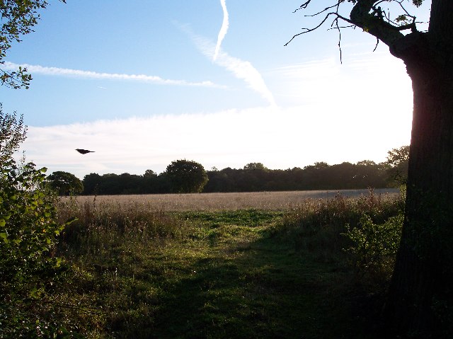
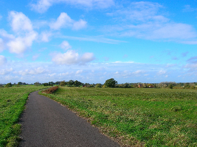
The woodland covers a vast area, with dense clusters of trees interspersed with open clearings. A myriad of wildlife species call Aspen Shaw home, including deer, foxes, and various bird species. It is not uncommon to spot these creatures during a leisurely stroll through the forest, adding to the enchantment of the area.

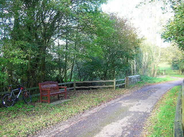
Walking trails wind their way through the woodland, allowing visitors to explore the beauty of Aspen Shaw at their own pace. The trails are well-maintained and suitable for all ages and fitness levels. Along the way, informative signs provide insight into the various flora and fauna that can be found in the forest, enhancing the educational experience.

For those seeking a more immersive experience, camping facilities are available within Aspen Shaw. Campers can set up tents in designated areas and enjoy a night under the stars, surrounded by the soothing sounds of nature.

Aspen Shaw is a place of natural beauty, offering a peaceful escape from the hustle and bustle of everyday life. Whether it is a leisurely walk, a family picnic, or a camping adventure, this woodland provides a serene and captivating setting for all who visit.

If you have any feedback on the listing, please let us know in the comments section below.

Aspen Shaw Images

Images are sourced within 2km of 50.91881/-0.20323576 or Grid Reference TQ2614. Thanks to Geograph Open Source API. All images are credited.

View WSW along the South Downs from Wolstonbury Hill
Chalk Pit Aggregate extraction near Poynings.
Chalk Pit
Aggregate extraction near Poynings.
St John's Church Church near the village of Poynings.
St John's Church
Church near the village of Poynings.
West Road Bus stop near Poynings.
West Road
Bus stop near Poynings.
Minor Road Road near Poynings.
Minor Road
Road near Poynings.
Shaves Thatch Inn On the junction of B2117 and A281 is this Inn serving real ale and good food.
Shaves Thatch Inn
On the junction of B2117 and A281 is this Inn serving real ale and good food.
Rushfields Garden Centre On the Henfield Road at Poynings
Rushfields Garden Centre
On the Henfield Road at Poynings
Chalk Quarry This chalk quarry is still in use. Looking WSW.
Chalk Quarry
This chalk quarry is still in use. Looking WSW.
Foxhole Cottages Looking NW
Foxhole Cottages
Looking NW
Looking south down the A23 This photograph was taken from the bridge carrying the B2117 over the A23.  The South Downs can be seen in the distance.
Looking south down the A23
This photograph was taken from the bridge carrying the B2117 over the A23. The South Downs can be seen in the distance.
Poynings Crossways Notice how the priority has changed to turn the crossroads into a double junction. Frighteningly dangerous!
Poynings Crossways
Notice how the priority has changed to turn the crossroads into a double junction. Frighteningly dangerous!
Entrance to Scout Camp at Park Wood at the northern end of the wood near Park Cottages.
Entrance to Scout Camp at Park Wood
at the northern end of the wood near Park Cottages.
Shaves Wood at Dawn Taken from opposite East Wood Farm. Looking East almost directly towards the sun (behind the tree trunk) just catching the fleeing wildlife.
Shaves Wood at Dawn
Taken from opposite East Wood Farm. Looking East almost directly towards the sun (behind the tree trunk) just catching the fleeing wildlife.
Keep Out Determined to keep trespassers out - a well blocked gateway to protect the maize crop.
Keep Out
Determined to keep trespassers out - a well blocked gateway to protect the maize crop.
Trailers and old tarmac Opposite Holmbush Farm. Old road tarmac useful for patching farm lanes.
Trailers and old tarmac
Opposite Holmbush Farm. Old road tarmac useful for patching farm lanes.
Softtech Global, London Road, Albourne Much change of usage is in evidence here. The road in the foreground up to 1990 was the A23(T) which has now been superseded by the dual carriageway which runs to the west. The building in the background was originally an inn. Built in 1938 by A.B.Peckham to cater for the growing motoring trade. Taken from the junction with the B2116 looking west.
Softtech Global, London Road, Albourne
Much change of usage is in evidence here. The road in the foreground up to 1990 was the A23(T) which has now been superseded by the dual carriageway which runs to the west. The building in the background was originally an inn. Built in 1938 by A.B.Peckham to cater for the growing motoring trade. Taken from the junction with the B2116 looking west.
Resting place, Church Lane, Albourne A fine place to sit and have your lunch on a pleasant November afternoon. Looking north as the lane crosses Cutlers Brook before turning sharply right. My mode of transport is parked behind it.
Resting place, Church Lane, Albourne
A fine place to sit and have your lunch on a pleasant November afternoon. Looking north as the lane crosses Cutlers Brook before turning sharply right. My mode of transport is parked behind it.
Bishops Place, near Albourne Looking west down the driveway towards Bishops Place which is to the right of the picture. Spring Hills Golf Course can just be made out to the very left.
Bishops Place, near Albourne
Looking west down the driveway towards Bishops Place which is to the right of the picture. Spring Hills Golf Course can just be made out to the very left.
Show me another place!

Aspen Shaw is located at Grid Ref: TQ2614 (Lat: 50.91881, Lng: -0.20323576)

Administrative County: West Sussex

District: Mid Sussex

Police Authority: Sussex

What 3 Words

///scariest.submit.juggled. Near Hurstpierpoint, West Sussex

Related Wikis

Newtimber Place

Newtimber Place is a Grade I listed building in the Mid Sussex district of West Sussex, England. The house sits on a D-shaped island in a moat. The oldest...

Newtimber

Newtimber is a small village and civil parish in the Mid Sussex District of West Sussex, England. It is located north-west of Brighton. The parish also...

Albourne

Albourne is a village and civil parish in the Mid Sussex district of West Sussex, England. It lies just off the A23 road three miles (4.8 km) east of Henfield...

Mansion House, Hurstpierpoint

Mansion House is a prominent and historically significant Grade II* listed Georgian village property in Hurstpierpoint, West Sussex, England. The substantial...

Hurstpierpoint

Hurstpierpoint is a village in West Sussex, England, 4 miles (6.4 km) southwest of Burgess Hill, and 1.5 miles (2.4 km) west of Hassocks railway station...
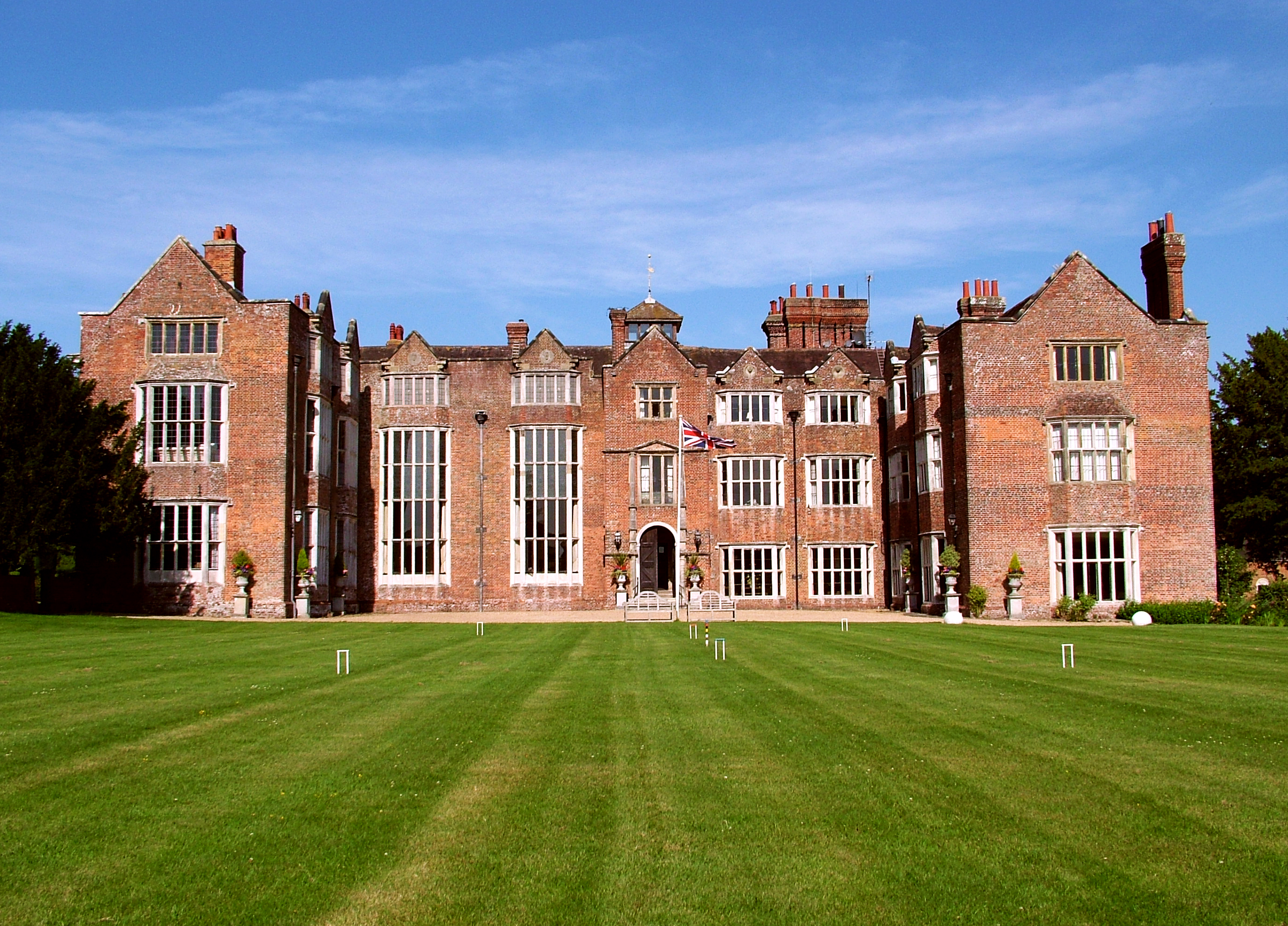
Danny House

Danny House is a Grade I listed Elizabethan red brick mansion near Hurstpierpoint in West Sussex, England. It lies at the northern foot of Wolstonbury...
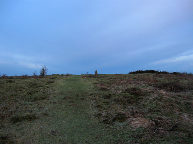
Wolstonbury Hill

Wolstonbury Hill is a 58.9-hectare (146-acre) biological Site of Special Scientific Interest south-west of in West Sussex. It is owned by the National...

Blackstone, West Sussex

Blackstone is a hamlet in the civil parish of Woodmancote and the Horsham district of West Sussex, England. Blackstone is significant for its listed...

Related Videos

Fulking Spring

Finding the location of an abundant natural spring at the foot of the South Downs on the border of West & East Sussex. Here ...

Wolstonbury Hill | Lunch Under a Tarp

A walk around Wolstonbury Hill in the South Downs on a windy, rainy New Year's Eve. Wherein I attempt to shout over the wind ...

Nearby Amenities

Located within 500m of 50.91881,-0.20323576
Bus Stop
Muddleswood Crossroads
Bus: yes
Naptan AtcoCode: 4400MS0269
Naptan Bearing: W
Naptan BusStopType: CUS
Naptan CommonName: Muddleswood Crossroads
Naptan Indicator: opp B2118
Naptan Landmark: B2118
Naptan NaptanCode: wsxdmgpt
Naptan Street: Brighton Road
Naptan Verified: no
Public Transport: platform
Source: naptan_import
Lat/Long: 50.9192486/-0.1962054
Bus Stop
Muddleswood Crossroads
Bus: yes
Naptan AtcoCode: 4400MS0270
Naptan Bearing: E
Naptan BusStopType: CUS
Naptan CommonName: Muddleswood Crossroads
Naptan Indicator: adj B2118
Naptan Landmark: B2118
Naptan NaptanCode: wsxdmgpw
Naptan Street: Brighton Road
Naptan Verified: no
Public Transport: platform
Source: naptan_import
Lat/Long: 50.9193836/-0.1962144
Bus Stop
Locks Green Farm
Bus: yes
Local Ref: NR
Naptan AtcoCode: 4400MS0319
Naptan Bearing: SW
Naptan BusStopType: CUS
Naptan CommonName: Locks Green Farm
Naptan Indicator: nr
Naptan Landmark: Hail & Ride
Naptan NaptanCode: wsxgdgpt
Naptan Street: Brighton Road
Naptan Verified: no
Public Transport: platform
Source: naptan_import
Lat/Long: 50.9184566/-0.203165
Bus Stop
Locks Green Farm
Bus: yes
Naptan AtcoCode: 4400MS0320
Naptan Bearing: NE
Naptan BusStopType: CUS
Naptan CommonName: Locks Green Farm
Naptan Indicator: opp
Naptan Landmark: Hail & Ride
Naptan NaptanCode: wsxgdgpw
Naptan Street: Brighton Road
Naptan Verified: no
Public Transport: platform
Source: naptan_import
Lat/Long: 50.9185195/-0.2031625
Barrier: stile
Foot: yes
Lat/Long: 50.9159265/-0.1980593
Traffic Sign: yes
Lat/Long: 50.9193461/-0.197589
The data included in this document is from www.openstreetmap.org. The data is made available under ODbL.

Have you been to Aspen Shaw?

Leave your review of Aspen Shaw below (or comments, questions and feedback).