End, Over

Settlement in Derbyshire Derbyshire Dales

England

End, Over

Lady Wall Well Lady Wall Well is on a corner of Bar Road, an old packhorse way to the top of Baslow Edge. "bar" is an old word for a steeply-climbing horse road. From the top of Baslow Edge, the old road continues on towards Chesterfield, for a way, before disappearing under modern tarmac.
Lady Wall Well Credit: Ian Calderwood

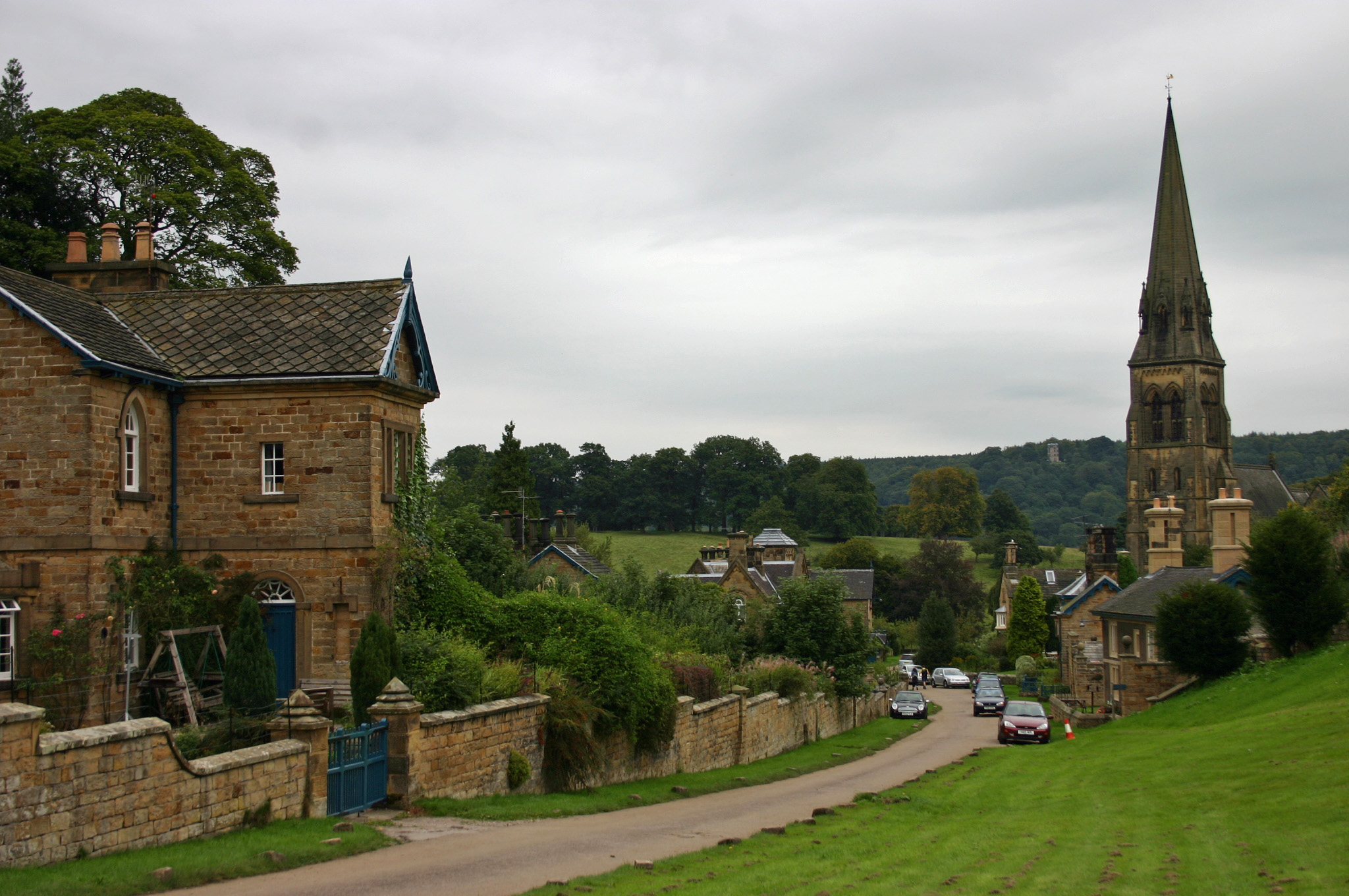
End, Over is a small village nestled in the scenic Derbyshire Dales, located in the East Midlands region of England. Situated approximately 6 miles south of the lively market town of Matlock, the village is surrounded by picturesque countryside, making it a popular destination for nature lovers and outdoor enthusiasts.

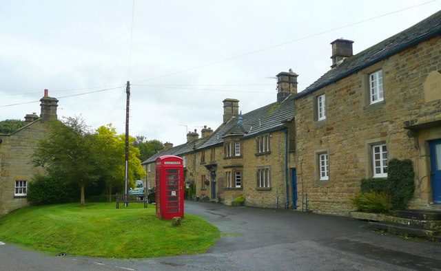
With a population of around 500 residents, End, Over exudes a charming and tranquil atmosphere. The village is renowned for its traditional stone cottages, which add to its quintessential English character. The surrounding landscape offers breathtaking views, with rolling hills, meandering rivers, and lush green valleys providing a picturesque backdrop for visitors and residents alike.

Despite its small size, End, Over boasts a strong sense of community and is home to a number of local amenities. The village features a quaint parish church, a cozy pub offering traditional British fare, and a village hall that hosts various community events throughout the year. Residents can also enjoy walking and cycling trails that crisscross the countryside, providing an opportunity to explore the area's natural beauty.

The village's proximity to the Peak District National Park further enhances its appeal. Outdoor activities such as hiking, rock climbing, and cycling are easily accessible, attracting tourists from both near and far. Additionally, the nearby town of Matlock offers a range of amenities including shops, restaurants, and cultural attractions, ensuring that residents of End, Over have all they need within easy reach.

End, Over, Derbyshire is a tranquil haven for those seeking a peaceful retreat in the heart of the English countryside, with its natural beauty, sense of community, and proximity to outdoor activities making it a truly idyllic place to live or visit.

If you have any feedback on the listing, please let us know in the comments section below.
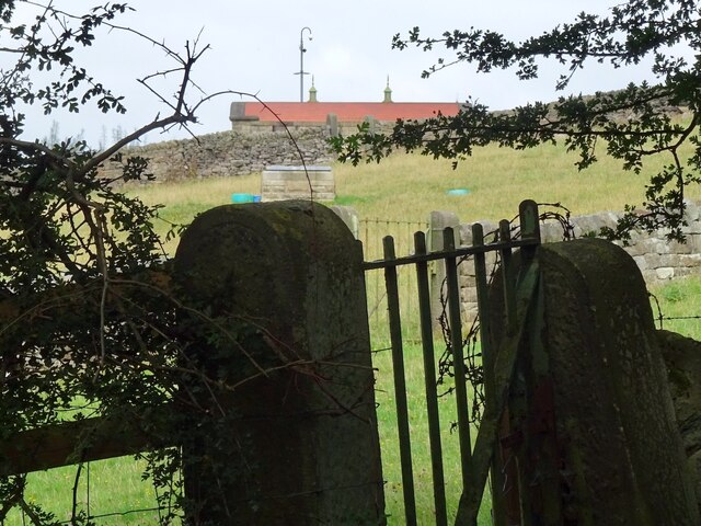
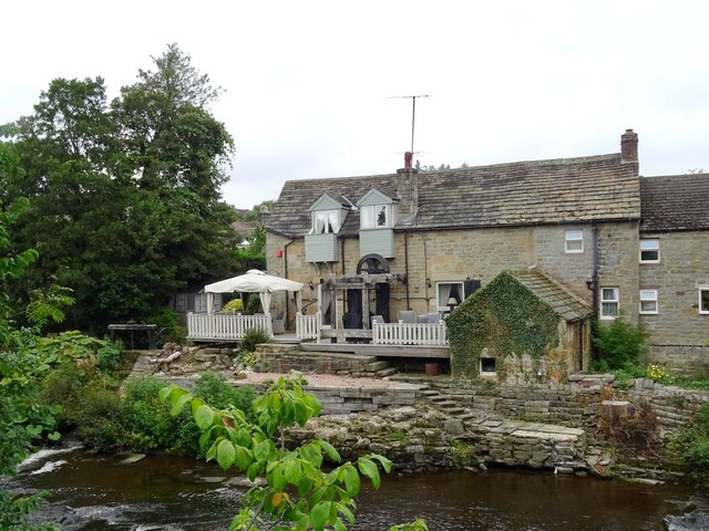
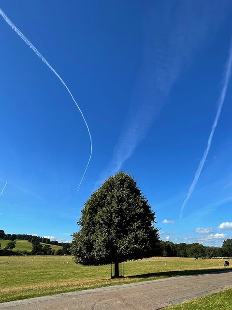
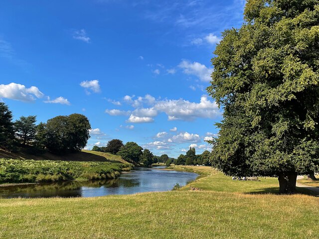
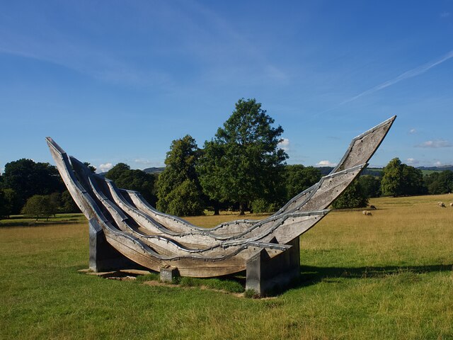
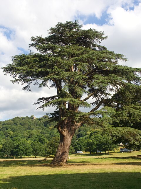
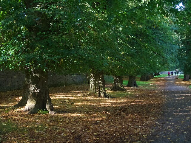
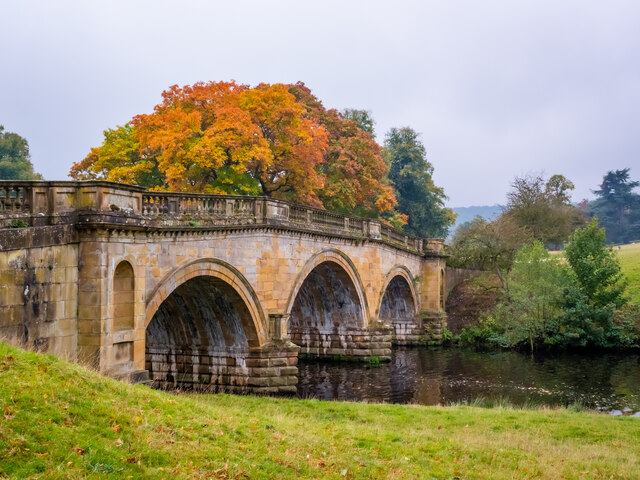
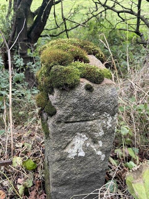
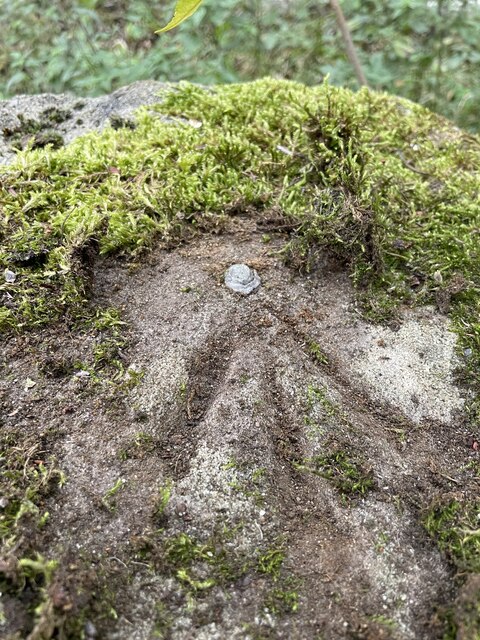
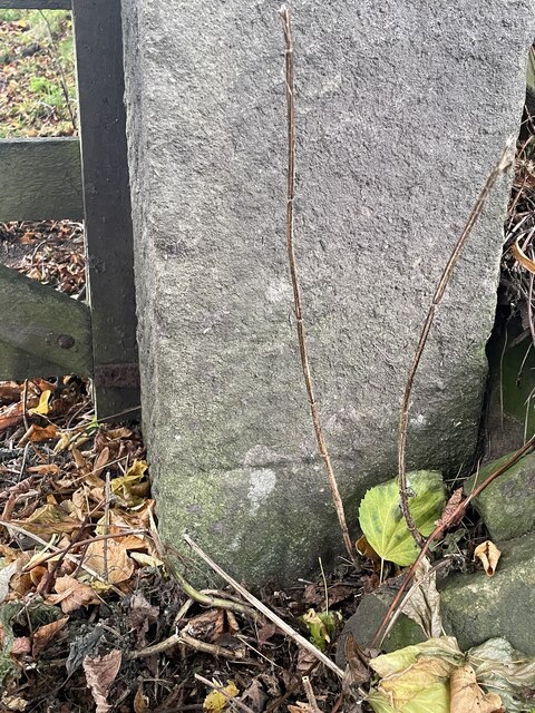
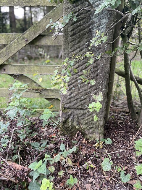
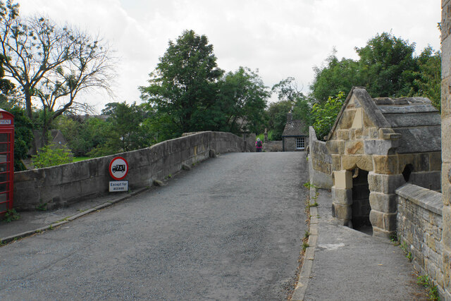
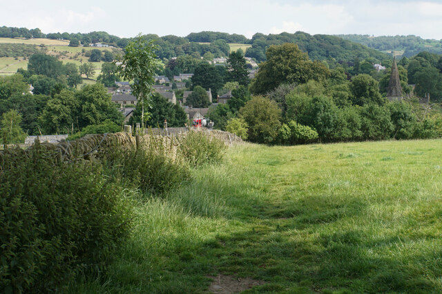
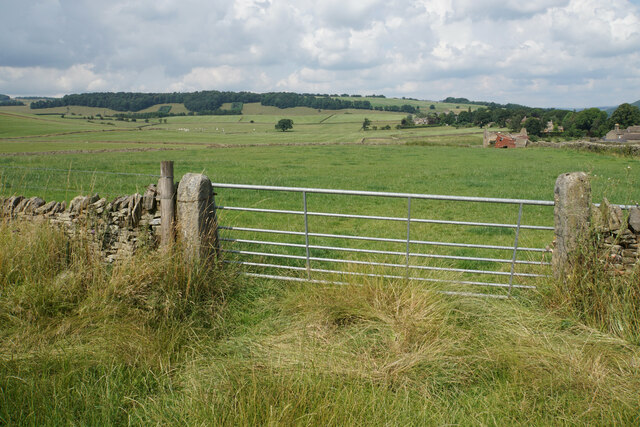
End, Over Images

Images are sourced within 2km of 53.244438/-1.626829 or Grid Reference SK2572. Thanks to Geograph Open Source API. All images are credited.

Lady Wall Well Lady Wall Well is on a corner of Bar Road, an old packhorse way to the top of Baslow Edge. "bar" is an old word for a steeply-climbing horse road. From the top of Baslow Edge, the old road continues on towards Chesterfield, for a way, before disappearing under modern tarmac.
Lady Wall Well
Lady Wall Well is on a corner of Bar Road, an old packhorse way to the top of Baslow Edge. "bar" is an old word for a steeply-climbing horse road. From the top of Baslow Edge, the old road continues on towards Chesterfield, for a way, before disappearing under modern tarmac.
Derwent Aqueduct access gates and discharge well The Derwent Aqueduct was laid to bring water from the Derwent to Derby, Nottingham and Leicester. Its line is marked by these distinctive access gates and, in this case, a discharge well. The building, in the background and in a neighbouring grid square, is a valve house.
Derwent Aqueduct access gates and discharge well
The Derwent Aqueduct was laid to bring water from the Derwent to Derby, Nottingham and Leicester. Its line is marked by these distinctive access gates and, in this case, a discharge well. The building, in the background and in a neighbouring grid square, is a valve house.
Former flour mill Hodgkinson's Corn Mill became disused in the early 20th century.
Former flour mill
Hodgkinson's Corn Mill became disused in the early 20th century.
Solitary tree and contrails in Chatsworth Park Looks like the pilot was taking evasive action.
Solitary tree and contrails in Chatsworth Park
Looks like the pilot was taking evasive action.
The River Derwent in Chatsworth Park
Plantation Cottage A holiday cottage on the Chatsworth Estate
Plantation Cottage
A holiday cottage on the Chatsworth Estate
Sculpture or horse jumping fence  A permanent feature in the parkland used, I believe, when horse events take place.
Sculpture or horse jumping fence
A permanent feature in the parkland used, I believe, when horse events take place.
Cedar tree in Chatsworth Park
An avenue of lime trees in Chatsworth Park
Paine's Bridge over the Derwent
Baslow, A619, Thirteen Bends BM on post

SK 2420 7155
Baslow, A619, Thirteen Bends
BM on post SK 2420 7155
Baslow, A619, Thirteen Bends OS Rivet on gatepost 

SK 2392 7152
Baslow, A619, Thirteen Bends
OS Rivet on gatepost SK 2392 7152
Pilsley, Top Road OS BM on gatepost

SK 2436 7093
Pilsley, Top Road
OS BM on gatepost SK 2436 7093
Pilsley, Top Road OS BM on gatepost
SK 2403 7082
Pilsley, Top Road
OS BM on gatepost SK 2403 7082
Churchyard and church of St Anne, Baslow A Grade II* listed church dating from the 13th Century.
Churchyard and church of St Anne, Baslow
A Grade II* listed church dating from the 13th Century.
Baslow Bridge Grade I listed dating from 1608. The bridge crosses the River Derwent. The former toll booth is on the right. The telephone box just seen to the left is also listed.
Baslow Bridge
Grade I listed dating from 1608. The bridge crosses the River Derwent. The former toll booth is on the right. The telephone box just seen to the left is also listed.
Footpath approaching Baslow A gentle path across grassy fields. The spire of St Anne's Church is to the right.
Footpath approaching Baslow
A gentle path across grassy fields. The spire of St Anne's Church is to the right.
Field entrance near Baslow In the distance you can see the plantations known as The Royal Cypher on the far side of Bramley Dale.
Field entrance near Baslow
In the distance you can see the plantations known as The Royal Cypher on the far side of Bramley Dale.
Show me another place!

End, Over is located at Grid Ref: SK2572 (Lat: 53.244438, Lng: -1.626829)

Administrative County: Derbyshire

District: Derbyshire Dales

Police Authority: Derbyshire

What 3 Words

///tacky.school.nitrate. Near Baslow, Derbyshire

Related Wikis

St Anne's Church, Baslow

St. Anne’s Church, Baslow, is a Grade II* listed parish church in Baslow, England. == History == The church dates from the thirteenth century. It was subject...

Baslow

Baslow is a village in Derbyshire, England, in the Peak District, situated between Sheffield and Bakewell, just over 1 mile (1.6 km) north of Chatsworth...

Baslow Hall

Baslow Hall is a Grade II listed building in Baslow, Derbyshire. == History == Baslow Hall, just off Calver Road, was built in 1907 to the designs of the...

Pilsley, Derbyshire Dales

Pilsley is a small village and civil parish in Derbyshire, England. At the 2011 Census the population of the civil parish was 152. It is close to Chatsworth...

Edensor

Edensor (pronounced ) is a village and civil parish in Derbyshire, England. The population of the civil parish at the 2011 census was 145.Much of the...

Cliff College

Cliff College is a Christian theological college in Calver, Derbyshire, that teaches Biblical Theology at the undergraduate level and a number of mission...

St Peter's Church, Edensor

St Peter's Church, Edensor, is a Grade I listed church in Edensor, Derbyshire. St Peter's is the closest parish church in the Church of England to Chatsworth...
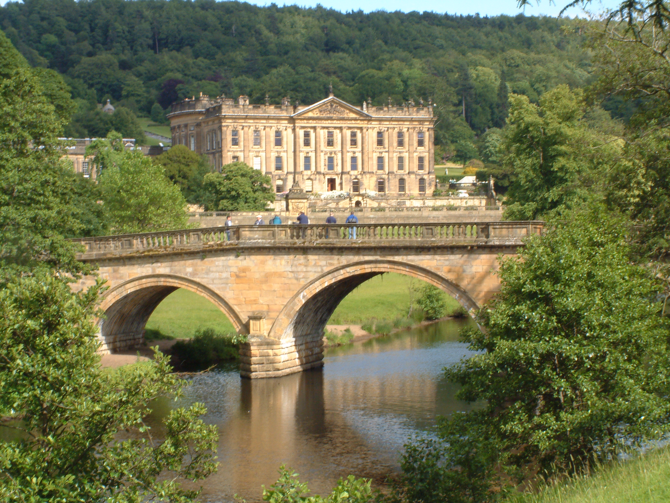
Chatsworth House

Chatsworth House is a stately home in the Derbyshire Dales, 4 miles (6.4 km) north-east of Bakewell and 9 miles (14 km) west of Chesterfield, England....

Nearby Amenities

Located within 500m of 53.244438,-1.626829
Crossing
Crossing: marked
Crossing Island: no
Tactile Paving: yes
Lat/Long: 53.2462211/-1.6203742
Bubnell
Created By: Potlatch 0.7b
Place: hamlet
Lat/Long: 53.2474996/-1.625923
Cafe
Charlie's Cafe and Bistro
Addr City: Bakewell
Addr Postcode: DE45 1RY
Addr Street: Church Street
Addr Village: Baslow
Fhrs Id: 1626145
Lat/Long: 53.248007/-1.623666
Post Box
Brand: Royal Mail
Brand Wikidata: Q638098
Brand Wikipedia: en:Royal Mail
Operator: Royal Mail
Operator Wikidata: Q638098
Post Box Type: pillar
Ref: DE45 1290
Royal Cypher: GVIR
Royal Cypher Wikidata: Q33102169
Lat/Long: 53.2478545/-1.623643
Telephone
Booth: K6
Covered: booth
Ele: 108.5137939
Heritage: yes
Listed Status: Grade II
Phone: +44 1246 582236
Wikidata: Q26619401
Lat/Long: 53.2478367/-1.6249264
Parking
Description: Layby
Ele: 115.2429199
Parking: lane
Lat/Long: 53.2442526/-1.624723
Ele: 115.0
Lat/Long: 53.2457465/-1.6246562
Barrier: yes
Lat/Long: 53.2422505/-1.6231198
Baslow (Bubnell Lane)
Bus: yes
Public Transport: stop_position
Lat/Long: 53.2468761/-1.6250685
Mini Roundabout
Source: local_knowledge
Lat/Long: 53.2477156/-1.6229835
Historic: memorial
Memorial: war_memorial
Lat/Long: 53.2476705/-1.6232164
Barrier: stile
Material: stone
Source: survey;gps
Stile: squeezer
Lat/Long: 53.2475497/-1.6256296
Bench
Source: survey;gps
Lat/Long: 53.2476403/-1.6247402
Defibrillator
Access: yes
Check Date: 2023-03-09
Defibrillator Location: On outside wall. Available 24/7.
Emergency: defibrillator
Indoor: no
Opening Hours: 24/7
Ref GB The Circuit: D5C43D20-A10B-446E-B5D4-ADA3017258B1
Lat/Long: 53.2458807/-1.6203157
Bus Stop
Baslow (Devonshire Bridge)
Bus: yes
Public Transport: platform
Lat/Long: 53.2459349/-1.6236766
Bus Stop
Baslow (Devonshire Bridge)
Bus: yes
Naptan AtcoCode: 1000DBDB3355
Naptan NaptanCode: dbsagtat
Public Transport: platform
Lat/Long: 53.2456059/-1.6240253
Baslow (Devonshire Bridge)
Bus: yes
Public Transport: stop_position
Lat/Long: 53.245644/-1.6240719
Baslow (Devonshire Bridge)
Bus: yes
Public Transport: stop_position
Lat/Long: 53.2459017/-1.6236152
Bus Stop
Baslow (Church)
Bus: yes
Public Transport: platform
Lat/Long: 53.2478681/-1.6244855
Baslow (Church)
Bus: yes
Public Transport: stop_position
Lat/Long: 53.2479095/-1.6244828
Bus Stop
Baslow (Church)
Bus: yes
Public Transport: platform
Lat/Long: 53.2478781/-1.6239406
Baslow (Church)
Bus: yes
Public Transport: stop_position
Lat/Long: 53.2478426/-1.6239479
Bus Stop
Baslow (Bubnell Bridge)
Bench: no
Bus: yes
Naptan AtcoCode: 1000DBBB3198
Naptan NaptanCode: dbsgwjaw
Public Transport: platform
Shelter: no
Lat/Long: 53.2479058/-1.624963
Baslow (Bubnell Bridge)
Bus: yes
Public Transport: stop_position
Lat/Long: 53.2478931/-1.624927
Bus Stop
Baslow (Bubnell Lane)
Bus: yes
Public Transport: platform
Lat/Long: 53.2468557/-1.6251464
Bus Stop
Baslow (Bubnell Lane)
Bus: yes
Public Transport: platform
Lat/Long: 53.2467444/-1.6249126
Baslow (Bubnell Lane)
Bus: yes
Public Transport: stop_position
Lat/Long: 53.2467378/-1.6249859
Bench
Backrest: yes
Lat/Long: 53.2472833/-1.624252
Bench
Backrest: yes
Lat/Long: 53.2473577/-1.6243146
Entrance: yes
Lat/Long: 53.2472964/-1.6241715
Parking
Capacity: 4
Fee: no
Lat/Long: 53.2478688/-1.6246697
Bench
Backrest: yes
Lat/Long: 53.2449838/-1.6205892
Leisure: picnic_table
Lat/Long: 53.2452508/-1.6199447
Give Way
Direction: backward
Lat/Long: 53.245545/-1.6243376
Bench
Backrest: yes
Lat/Long: 53.2477322/-1.6237008
The data included in this document is from www.openstreetmap.org. The data is made available under ODbL.

Have you been to End, Over?

Leave your review of End, Over below (or comments, questions and feedback).