Fir Wood
Wood, Forest in Middlesex Hertsmere
England
Fir Wood

Fir Wood, located in the county of Middlesex, is a picturesque forest that spans over a significant area. Situated in the southeast of England, this woodland is known for its dense coverage of fir trees, which contribute to its name. The forest is easily accessible and located near several towns and villages, making it a popular destination for nature enthusiasts and locals alike.
Fir Wood is home to a diverse range of flora and fauna, with a variety of plant species thriving in its fertile soil. The towering fir trees dominate the landscape, providing a lush green canopy that offers shade during the summer months. This woodland is also home to various other tree species such as oak, beech, and birch, adding to its natural beauty and biodiversity.
The forest holds great historical significance, with evidence of human habitation dating back centuries. Remnants of ancient settlements, including tools and pottery, have been found in the surrounding areas, highlighting the rich history of Fir Wood and its importance to past civilizations. Today, the woodland serves as a recreational area for walking, hiking, and cycling, with well-maintained trails winding through the forest.
Wildlife enthusiasts can spot a plethora of animal species in Fir Wood, including deer, foxes, squirrels, and a wide array of birdlife. Birdwatchers often flock to the area to observe species such as woodpeckers, owls, and various songbirds in their natural habitat.
Overall, Fir Wood in Middlesex is a captivating forest that offers a peaceful retreat from the bustling city life. Its natural beauty, rich history, and abundant wildlife make it an ideal destination for those seeking solace in nature.
If you have any feedback on the listing, please let us know in the comments section below.
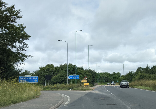
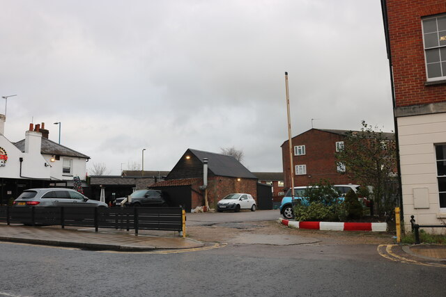
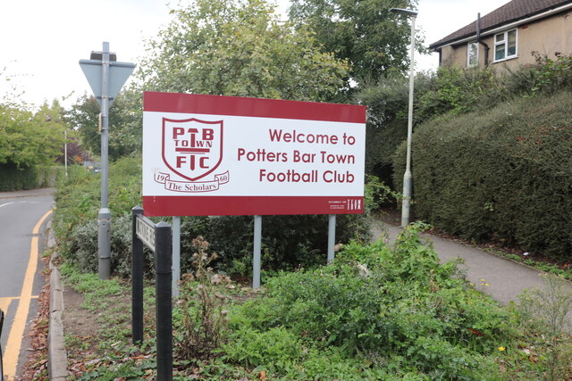
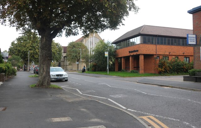
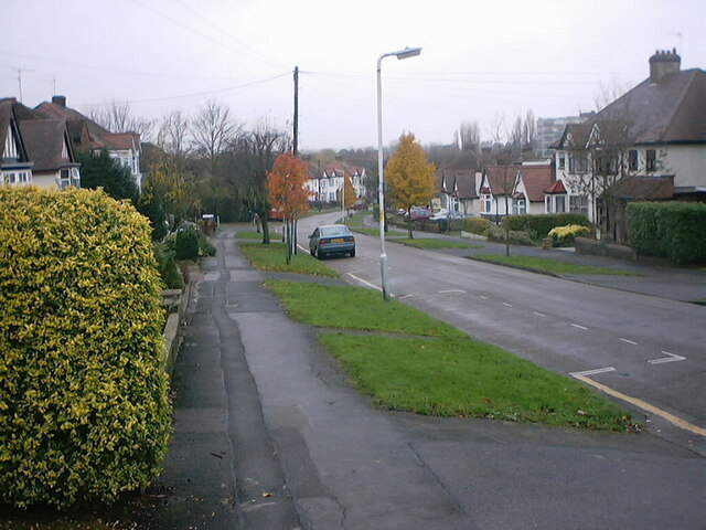
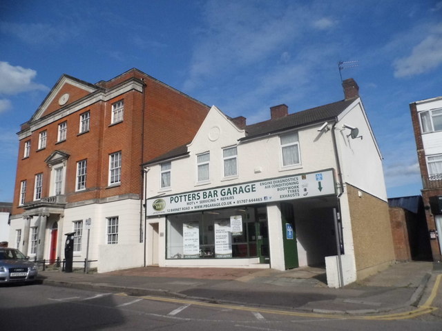
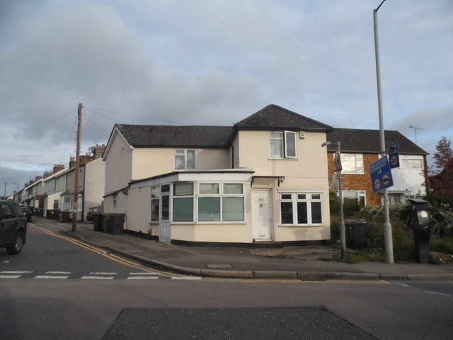
Fir Wood Images
Images are sourced within 2km of 51.680285/-0.17623407 or Grid Reference TQ2699. Thanks to Geograph Open Source API. All images are credited.


Fir Wood is located at Grid Ref: TQ2699 (Lat: 51.680285, Lng: -0.17623407)
Administrative County: Hertfordshire
District: Hertsmere
Police Authority: Hertfordshire
What 3 Words
///issue.unit.dame. Near Hadley Wood, London
Nearby Locations
Related Wikis

Ganwick House
Ganwick House is a late-18th-century house in Wagon Road, Ganwick Corner (Gannic Corner), near Chipping Barnet, England. As of 2018, it was in use as a...

Potters Bar Old Baptist Church
The Potters Bar Old Baptist Church, as it is now known, is a former church in Hertfordshire, England. It was designed by W. Allen Dixon in 1868. Dixon...

Bentley Heath, Hertfordshire
Bentley Heath is a hamlet in Hertfordshire, England, between Chipping Barnet and Potters Bar. It is on the north edge of the Wrotham Park estate with which...

Hadley Wood railway station
Hadley Wood railway station is in the London Borough of Enfield in north London, England. It is 10 miles 46 chains (17.0 km) down the line from London...

The Lion, Potters Bar
The Lion is a former public house on the corner of Barnet Road and Southgate Road in Potters Bar, Hertfordshire, England, and a grade II listed building...
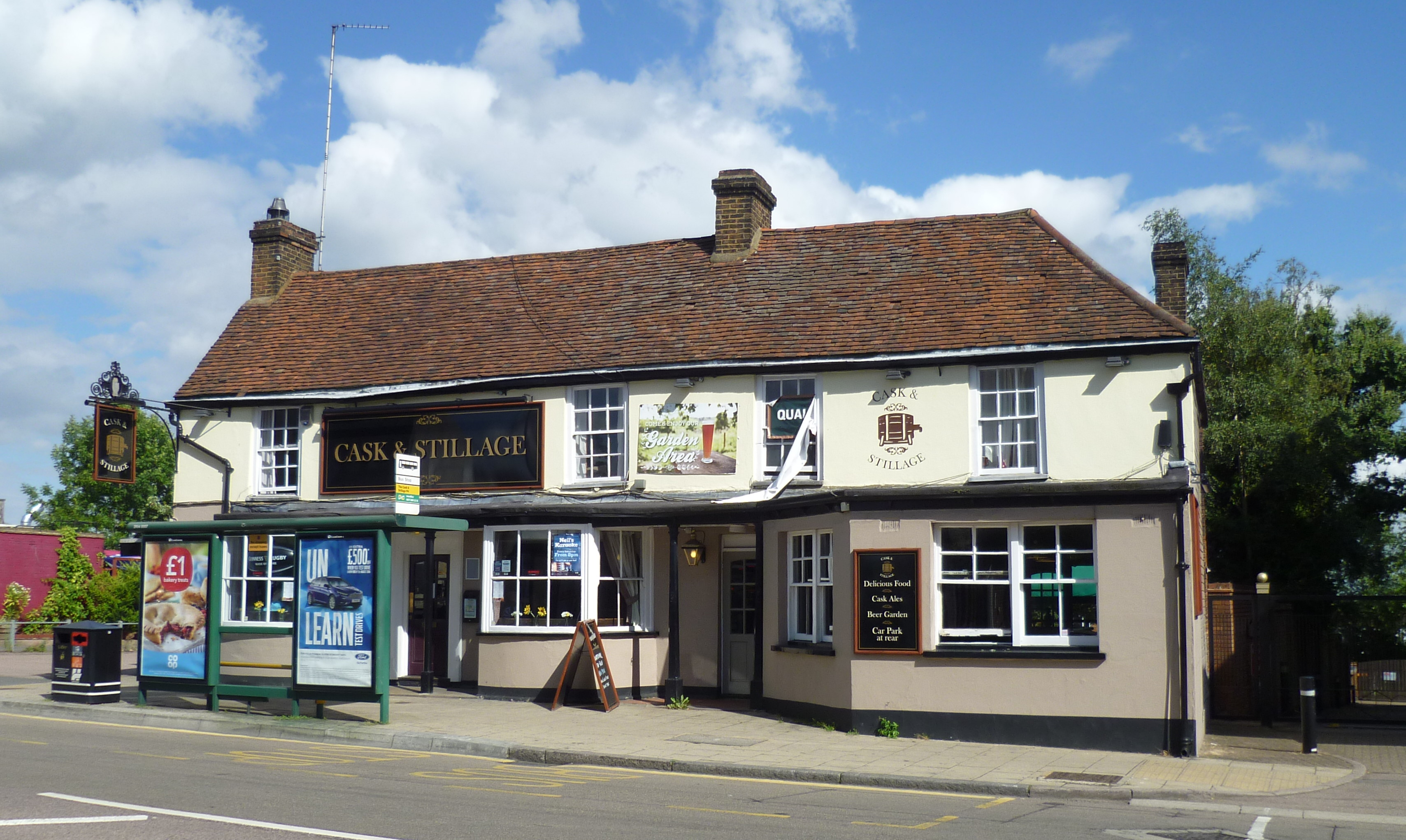
The White Horse, Potters Bar
The White Horse, now known as The Cask and Stillage, is a public house in High Street, Potters Bar, England, and a grade II listed building with Historic...

Wrotham Park
Wrotham Park (pronounced , ROO-təm) is a neo-Palladian English country house in the parish of South Mimms, Hertfordshire. It lies south of the town of...
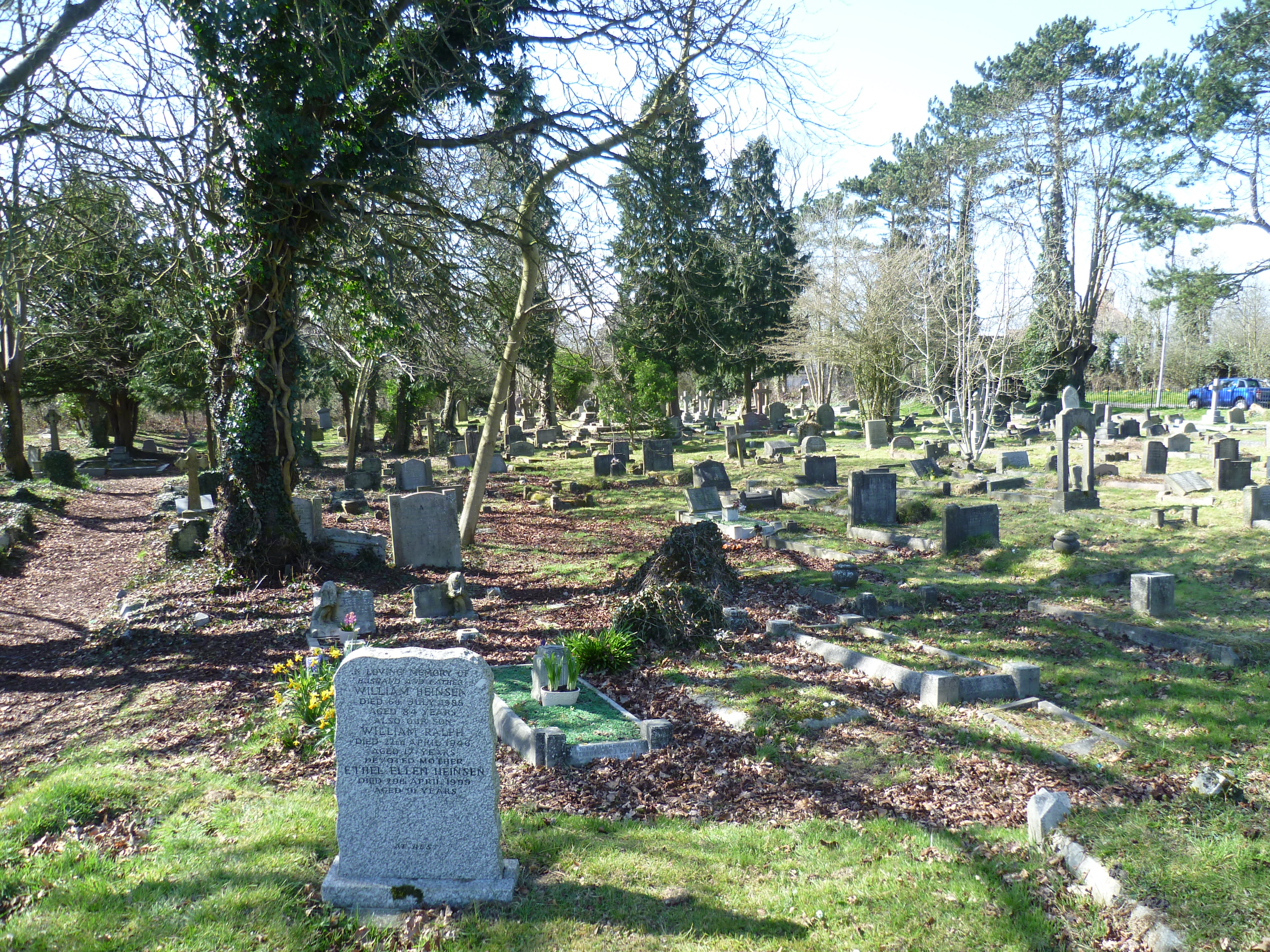
Mutton Lane Cemetery
Mutton Lane Cemetery, officially known as St Mary's Cemetery, is a cemetery in Mutton Lane, Potters Bar, Hertfordshire, that is associated with nearby...
Nearby Amenities
Located within 500m of 51.680285,-0.17623407Have you been to Fir Wood?
Leave your review of Fir Wood below (or comments, questions and feedback).