Bush Wood

Wood, Forest in Hertfordshire North Hertfordshire

England

Bush Wood

Fishing lake near Weston Private fishing lake in the woods south of Weston at TL263296
Fishing lake near Weston Credit: Paul Dixon

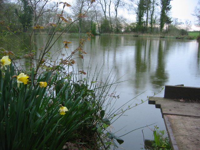
Bush Wood is a picturesque and ancient woodland located in the county of Hertfordshire, England. Covering an area of approximately 100 acres, it forms part of the larger Epping Forest. The wood is situated near the town of Waltham Abbey and is easily accessible to both locals and visitors.

This woodland is renowned for its diverse range of flora and fauna, making it a haven for nature enthusiasts and wildlife lovers. The woodland is predominantly made up of oak and hornbeam trees, which create a dense canopy and provide a stunning display of autumnal colors. Additionally, there are patches of holly, birch, and beech trees, adding to the variety and beauty of the wood.

Bush Wood offers a network of footpaths and trails, allowing visitors to explore its natural splendor. These trails take visitors through woodlands, meadows, and wetlands, providing a diverse range of habitats to explore. The wood is home to a rich array of wildlife, including various bird species, butterflies, and small mammals such as foxes, badgers, and hedgehogs.

History enthusiasts will appreciate the ancient heritage of Bush Wood, as it has been a part of Epping Forest since medieval times. The wood has been carefully managed to preserve its natural beauty and historical significance. It also holds archaeological importance, with evidence of human activity dating back to the Iron Age.

Overall, Bush Wood is a captivating and enchanting woodland that offers a tranquil escape from the hustle and bustle of everyday life. Its natural beauty, diverse ecosystem, and historical significance make it a cherished destination for both locals and tourists alike.

If you have any feedback on the listing, please let us know in the comments section below.

Bush Wood Images

Images are sourced within 2km of 51.967181/-0.16672082 or Grid Reference TL2631. Thanks to Geograph Open Source API. All images are credited.

Fishing lake near Weston Private fishing lake in the woods south of Weston at TL263296
Fishing lake near Weston
Private fishing lake in the woods south of Weston at TL263296
Holy Trinity, Weston, Herts
Holy Trinity, Weston, Herts - Font
Holy Trinity, Weston, Herts - East end
Holy Trinity, Weston, Herts - Corbel
Holy Trinity, Weston, Herts - Weathervane
Holy Trinity, Weston, Herts
Centre of square in How Wood facing North East North point of How Wood looking NE
Centre of square in How Wood facing North East
North point of How Wood looking NE
Damask Green Road looking southish towards the pub
Damask Green Road
looking southish towards the pub
Baldock bypass construction on Clothall Common Taken March 2005, you can see construction work on the Baldock bypass on the chalky landscape of Clothall Common
Baldock bypass construction on Clothall Common
Taken March 2005, you can see construction work on the Baldock bypass on the chalky landscape of Clothall Common
Baldock bypass tunnel in the chalk hills of Weston Taken March 2005 from TL 25217 32372, this clearly shows the chalky hills above Baldock. The contour of these hills is being preserved through the construction of the cut-and-cover tunnel you see here.
Baldock bypass tunnel in the chalk hills of Weston
Taken March 2005 from TL 25217 32372, this clearly shows the chalky hills above Baldock. The contour of these hills is being preserved through the construction of the cut-and-cover tunnel you see here.
Weston Hills This shows the rolling nature of the chalk Weston Hills with Weston woods to the left. On the horizon you can see the fence marking the edge of the Baldock bypass construction as it cuts through the hill.
Weston Hills
This shows the rolling nature of the chalk Weston Hills with Weston woods to the left. On the horizon you can see the fence marking the edge of the Baldock bypass construction as it cuts through the hill.
Baldock bypass tunnel in the chalk hills of Weston Looking south from TL254329 this shows the construction of the cut-and-cover tunnel for the Baldock bypass, which preserve the contour of the chalk hills.
Baldock bypass tunnel in the chalk hills of Weston
Looking south from TL254329 this shows the construction of the cut-and-cover tunnel for the Baldock bypass, which preserve the contour of the chalk hills.
London Road, Baldock Taken from TL246325 looking north, this shows London Road as it heads into the town of Baldock. While ordinary looking now, it was once a major Roman road and part of the medieval Great North Road, which ultimately became the A1, which now runs 600m west of this position.
London Road, Baldock
Taken from TL246325 looking north, this shows London Road as it heads into the town of Baldock. While ordinary looking now, it was once a major Roman road and part of the medieval Great North Road, which ultimately became the A1, which now runs 600m west of this position.
Between Weston Hills and Bush Wood This is the corner of the copse at TL257319
Between Weston Hills and Bush Wood
This is the corner of the copse at TL257319
New saplings near Newfield Hill This plantation can be found at TL 258 319 just next to the Hertfordshire Way.
New saplings near Newfield Hill
This plantation can be found at TL 258 319 just next to the Hertfordshire Way.
Show me another place!

Bush Wood is located at Grid Ref: TL2631 (Lat: 51.967181, Lng: -0.16672082)

Administrative County: Hertfordshire

District: North Hertfordshire

Police Authority: Hertfordshire

What 3 Words

///broker.winks.levels. Near Baldock, Hertfordshire

Related Wikis

Lannock Mill, Weston

Lannock Mill is a Grade II listed tower mill at Weston, Hertfordshire, England which is derelict. == History == Lannock Mill was built in 1860. A windmill...

Weston, Hertfordshire

Weston is a village and civil parish in the North Hertfordshire district of Hertfordshire, England. It is located around 4 miles north of Stevenage, 2...

Clothall

Clothall is a village and civil parish in the county of Hertfordshire, England, with a population of 358. It is situated 2.25 miles (3.62 km) south-east...
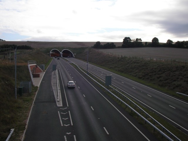
Weston Hills Tunnel

The Weston Hills Tunnel is a 230m twin road tunnel under the Weston Hills near Baldock in Hertfordshire. It was constructed as part of the A505 Baldock...

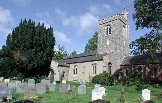
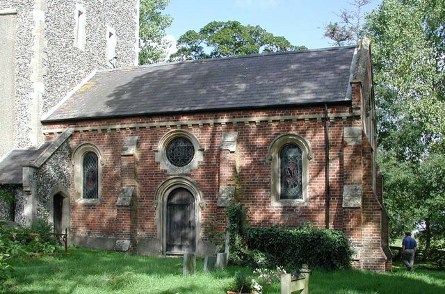
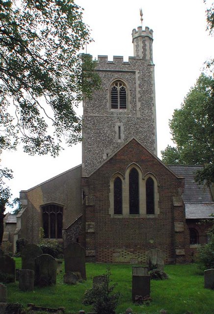
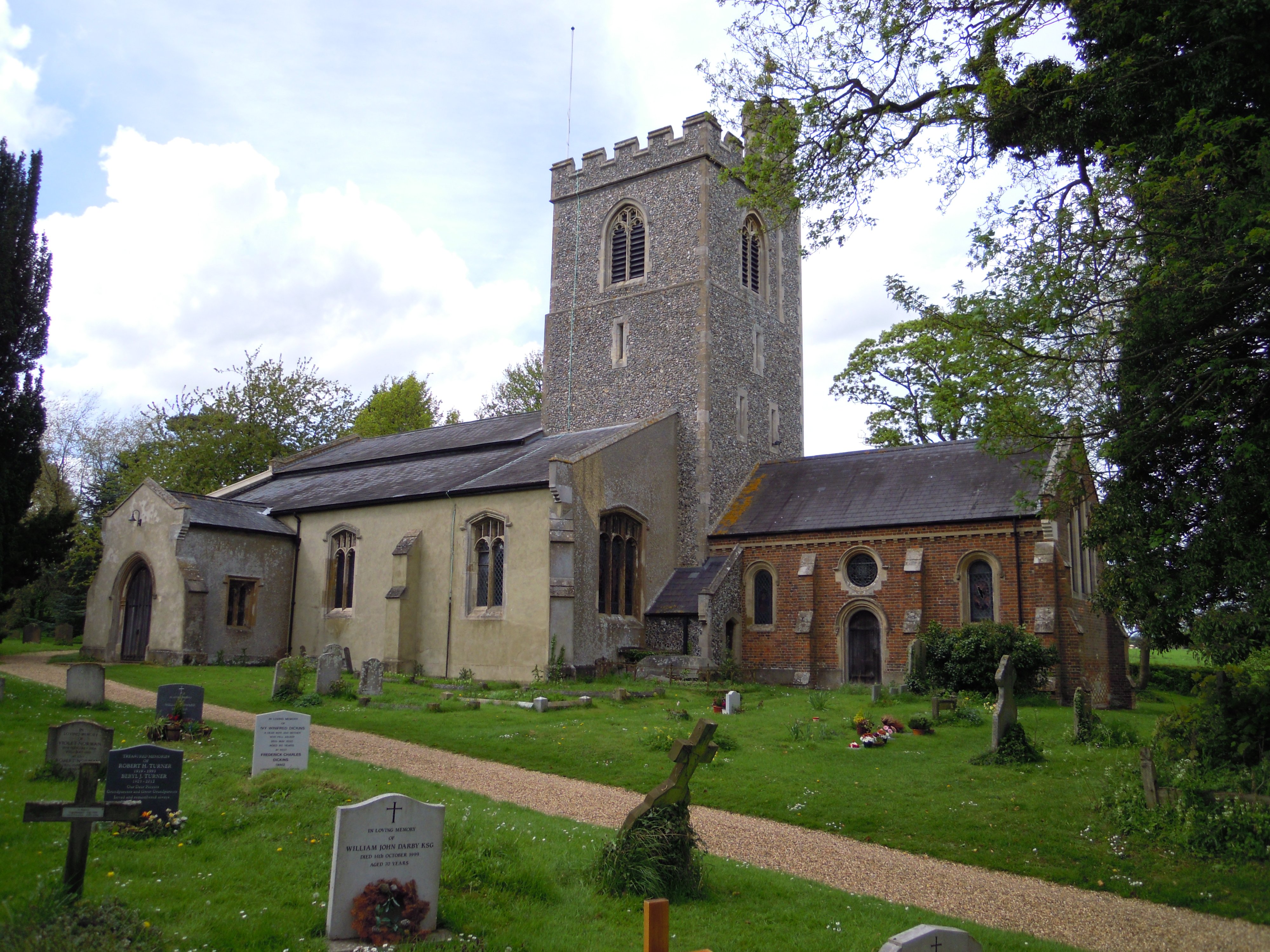
Holy Trinity Church, Weston

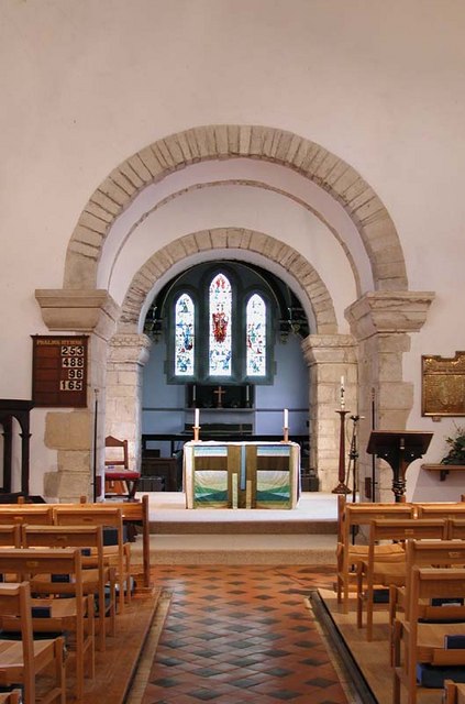
Holy Trinity Church is the parish church for the village of Weston in Hertfordshire. The church building stands to the south-east of the village on high...

Letchworth Garden City Eagles F.C.

Letchworth Garden City Eagles Football Club is a football club based in Letchworth, England. They are currently members of the Spartan South Midlands League...

The Knights Templar School

The Knights Templar School is a co-educational secondary school with academy status located in the market town of Baldock in North Hertfordshire, England...
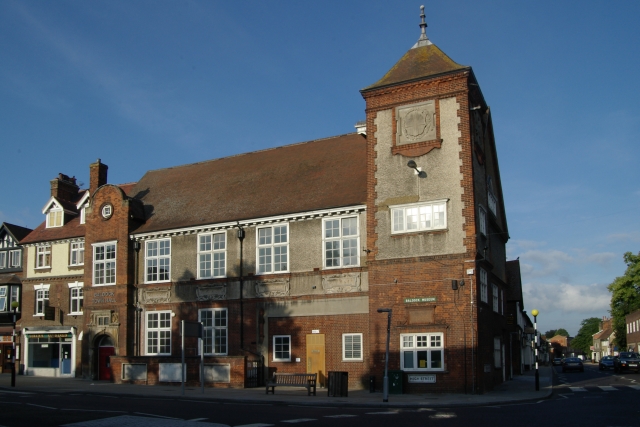
Baldock Town Hall

Baldock Town Hall is a municipal building in the High Street, Baldock, Hertfordshire, England. The structure, which now operates as an arts and heritage...

Nearby Amenities

Located within 500m of 51.967181,-0.16672082
Barrier: kissing_gate
Lat/Long: 51.9648037/-0.16806
Power: pole
Lat/Long: 51.9693597/-0.1722946
Power: pole
Lat/Long: 51.971217/-0.1695812
Power: pole
Lat/Long: 51.9699777/-0.1713719
Power: pole
Lat/Long: 51.9687152/-0.173228
Power: pole
Lat/Long: 51.970599/-0.1704707
Bench
Lat/Long: 51.9671935/-0.1617613
Bench
Lat/Long: 51.9671754/-0.1617228
The data included in this document is from www.openstreetmap.org. The data is made available under ODbL.

Have you been to Bush Wood?

Leave your review of Bush Wood below (or comments, questions and feedback).