Cooks Wood
Wood, Forest in Hertfordshire Welwyn Hatfield
England
Cooks Wood
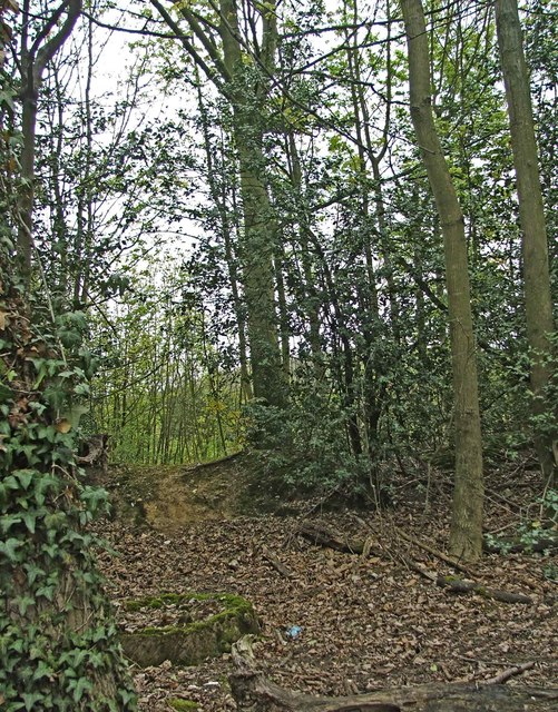
Cooks Wood is a picturesque forest located in the county of Hertfordshire, England. Situated near the village of Wood, this woodland area covers an approximate area of 100 acres. It is a popular destination for nature enthusiasts, hikers, and families looking to immerse themselves in the tranquility of nature.
Cooks Wood is known for its diverse flora and fauna, offering a rich and varied ecosystem. The forest is predominantly made up of broadleaf trees, including oak, beech, and birch. Their towering canopies provide shade and shelter to a wide range of wildlife, such as squirrels, deer, and various bird species.
Visitors to Cooks Wood can enjoy a network of well-maintained trails that wind through the forest, providing opportunities for leisurely strolls or more challenging hikes. The paths are clearly marked, ensuring easy navigation for visitors of all ages and abilities.
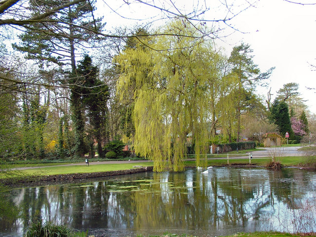
The forest also boasts a small, serene pond, which adds to the enchanting atmosphere of the woodland. It is a popular spot for birdwatching, with many species of waterfowl making the pond their home.
Cooks Wood is a haven for nature lovers, offering a peaceful and immersive experience in the heart of Hertfordshire. Whether it's exploring the trails, observing the wildlife, or simply enjoying a picnic surrounded by nature's beauty, this forest provides a refreshing escape from the hustle and bustle of everyday life.
If you have any feedback on the listing, please let us know in the comments section below.
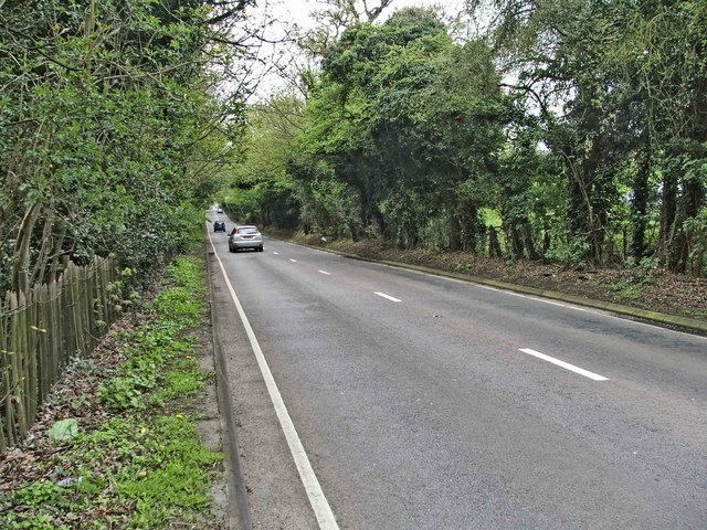
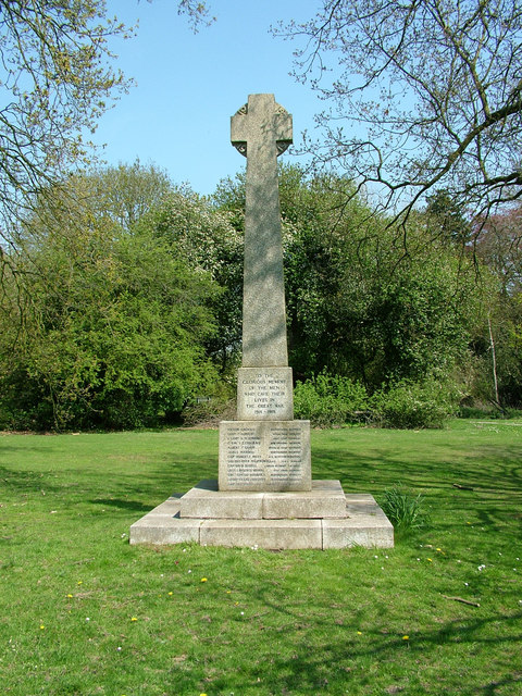
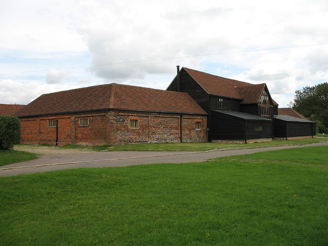
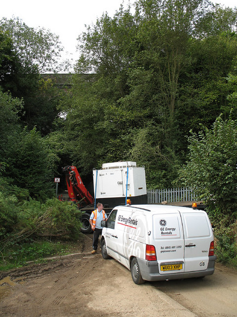
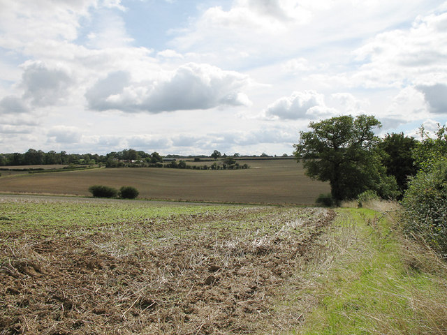
Cooks Wood Images
Images are sourced within 2km of 51.826885/-0.17285817 or Grid Reference TL2615. Thanks to Geograph Open Source API. All images are credited.
Cooks Wood is located at Grid Ref: TL2615 (Lat: 51.826885, Lng: -0.17285817)
Administrative County: Hertfordshire
District: Welwyn Hatfield
Police Authority: Hertfordshire
What 3 Words
///peanut.rocky.honest. Near Welwyn, Hertfordshire
Nearby Locations
Related Wikis

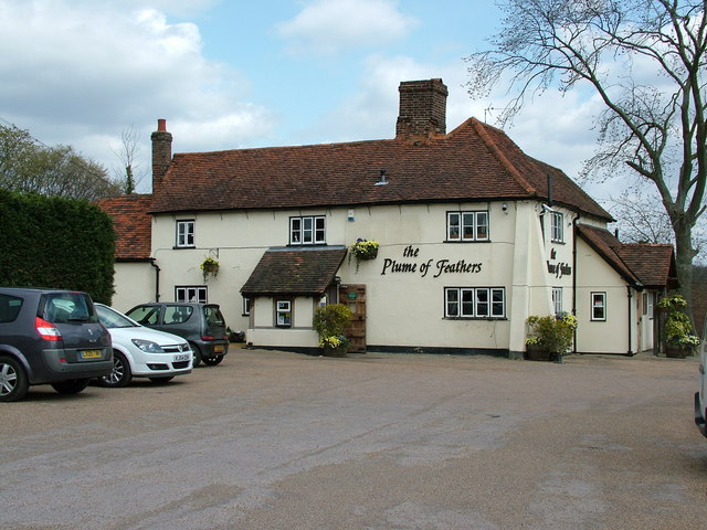
The White Horse, Burnham Green
The White Horse is a grade II listed public house in Whitehorse Lane, Burnham Green, in the parish of Datchworth in Hertfordshire. The building dates from...

Tewin Orchard and Hopkyns Wood
Tewin Orchard and Hopkyns Wood is a 4.3-hectare (11-acre) nature reserve in Tewin in Hertfordshire. It is managed by the Herts and Middlesex Wildlife Trust...

Digswell
Digswell is an ancient village and former parish in the English county of Hertfordshire which is recorded in the 1086 Domesday Book. The population of...

Welwyn North railway station
Welwyn North railway station serves the villages of Digswell and Welwyn in Hertfordshire, England. The station is located 22 miles (35 km) north of London...

Welwyn Tunnel rail crash
The Welwyn Tunnel rail crash took place in Welwyn North Tunnel, north of Welwyn (now Welwyn North) station on the Great Northern Railway, on 9 June 1866...

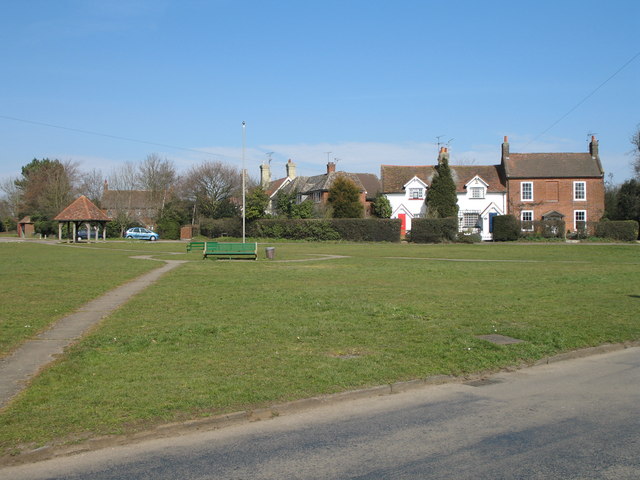
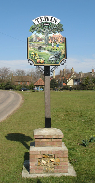
Tewin
Tewin is an English village and civil parish in Hertfordshire, England between the towns of Welwyn Garden City, Stevenage, Welwyn (village) and the county...
Broadway Malyan
Broadway Malyan is a global architecture, urbanism and design practice. It was established in 1958 by architects Cyril Broadway and John Malyan. Among...

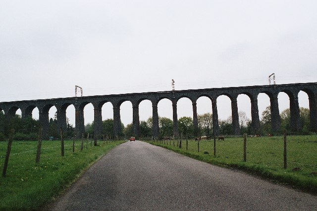
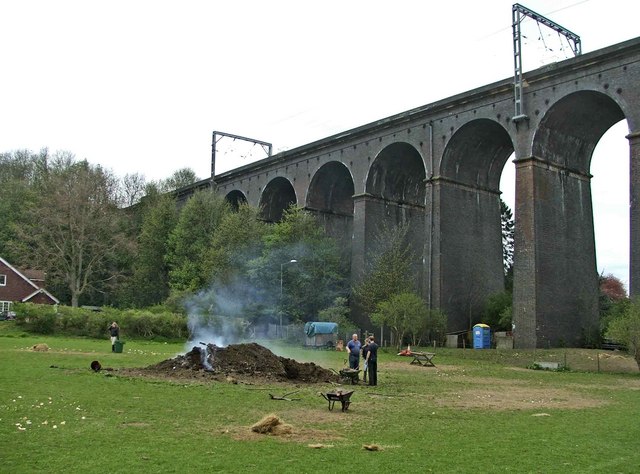
Digswell Viaduct
The Digswell Viaduct, also called Welwyn Viaduct, is a railway viaduct that carries the East Coast Main Line over the River Mimram in the county of Hertfordshire...
Nearby Amenities
Located within 500m of 51.826885,-0.17285817Have you been to Cooks Wood?
Leave your review of Cooks Wood below (or comments, questions and feedback).