Barncroft Copse

Wood, Forest in Sussex Mid Sussex

England

Barncroft Copse

Forge Garage - old filling-station paraphernalia
Forge Garage - old filling-station paraphernalia Credit: Ian Cunliffe

Barncroft Copse is a captivating woodland located in the county of Sussex, England. Spread across a sprawling area, this enchanting forest is a nature lover's paradise, offering visitors a tranquil escape from the hustle and bustle of everyday life.

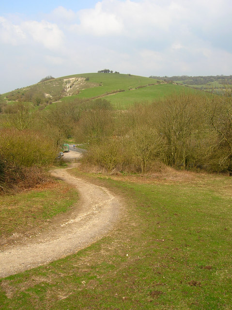
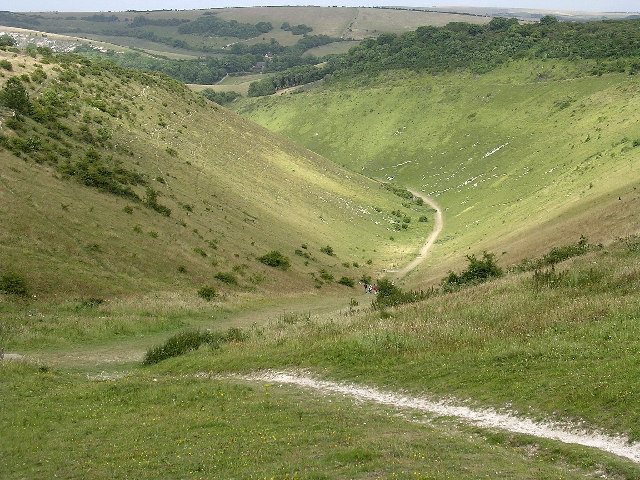
Surrounded by picturesque countryside, Barncroft Copse boasts a diverse range of flora and fauna, making it a haven for wildlife enthusiasts and botanists alike. The forest is characterized by its dense canopy of towering trees, including oak, beech, and birch, which provide a sheltered habitat for a myriad of woodland creatures, such as squirrels, deer, and various bird species.

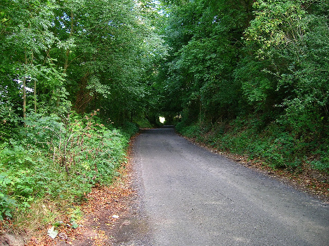
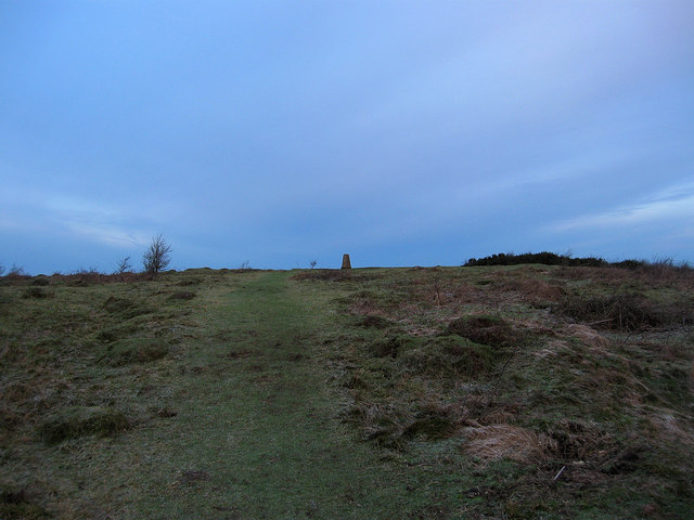
Walking through the forest, visitors are greeted with a carpet of vibrant wildflowers, creating a stunning contrast against the lush green foliage. The well-maintained trails winding through Barncroft Copse offer the perfect opportunity for hikers and nature enthusiasts to explore the woodland's hidden treasures. A gentle babbling brook meanders through the heart of the forest, adding to its natural charm.

Barncroft Copse is not only a place of natural beauty but also holds historic significance. The woodland has been carefully managed for centuries, with evidence of ancient settlements and remnants of old structures still visible. This rich history adds an element of intrigue to the overall experience of visiting the forest.

With its idyllic setting and abundant natural wonders, Barncroft Copse in Sussex is an enchanting destination that immerses visitors in the beauty of the British countryside. Whether seeking solace in nature or embarking on an adventure, this captivating woodland offers an unforgettable experience for all who venture within its boundaries.

If you have any feedback on the listing, please let us know in the comments section below.

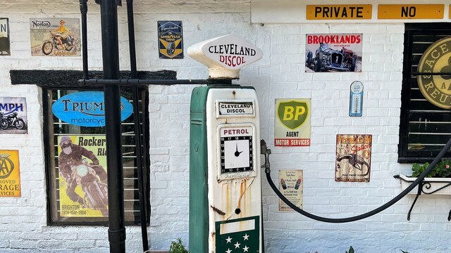
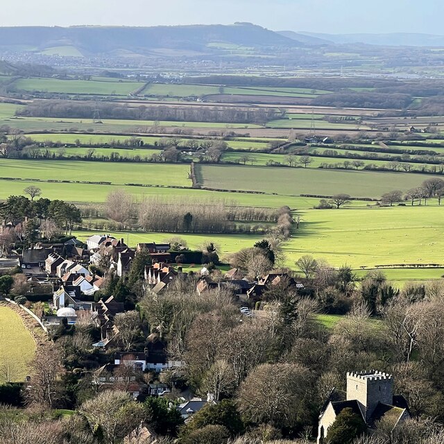
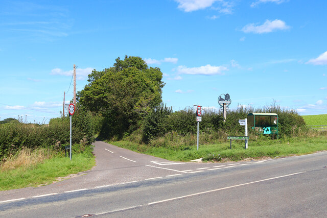
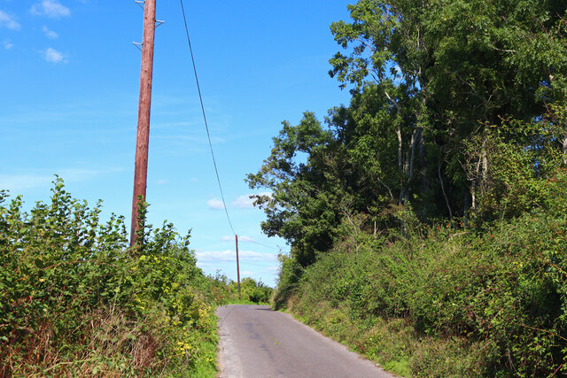
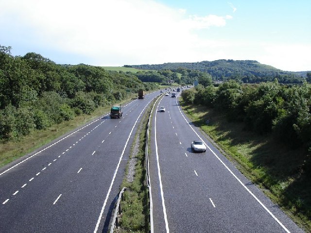
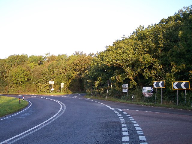
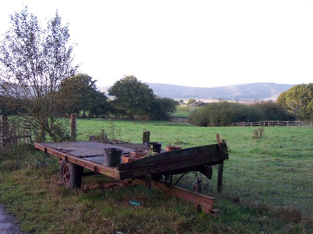
Barncroft Copse Images

Images are sourced within 2km of 50.907246/-0.20918565 or Grid Reference TQ2613. Thanks to Geograph Open Source API. All images are credited.

Forge Garage - old filling-station paraphernalia
Winter trees on Newtimber Hill
View west over Poynings from North Hill Chanctonbury Ring can be seen in the distance.
View west over Poynings from North Hill
Chanctonbury Ring can be seen in the distance.
Chalk Pit Aggregate extraction near Poynings.
Chalk Pit
Aggregate extraction near Poynings.
St John's Church Church near the village of Poynings.
St John's Church
Church near the village of Poynings.
West Road Bus stop near Poynings.
West Road
Bus stop near Poynings.
Minor Road Road near Poynings.
Minor Road
Road near Poynings.
Field near Poynings Field near the village.
Field near Poynings
Field near the village.
Shaves Thatch Inn On the junction of B2117 and A281 is this Inn serving real ale and good food.
Shaves Thatch Inn
On the junction of B2117 and A281 is this Inn serving real ale and good food.
Rushfields Garden Centre On the Henfield Road at Poynings
Rushfields Garden Centre
On the Henfield Road at Poynings
Chalk Quarry This chalk quarry is still in use. Looking WSW.
Chalk Quarry
This chalk quarry is still in use. Looking WSW.
Foxhole Cottages Looking NW
Foxhole Cottages
Looking NW
Looking south down the A23 This photograph was taken from the bridge carrying the B2117 over the A23.  The South Downs can be seen in the distance.
Looking south down the A23
This photograph was taken from the bridge carrying the B2117 over the A23. The South Downs can be seen in the distance.
Newtimber Holt Looking south from the A281. Newtimber Hill's crest is to the left.
Newtimber Holt
Looking south from the A281. Newtimber Hill's crest is to the left.
Beggar's Lane, near Poynings The lane skirts the west slope of Newtimber Hill. This view looks north and just beyond the light at the end of the tunnel of trees is the junction with the A281.
Beggar's Lane, near Poynings
The lane skirts the west slope of Newtimber Hill. This view looks north and just beyond the light at the end of the tunnel of trees is the junction with the A281.
Devil's Dyke Looking west from the viewpoint on Saddlescombe Road.
Devil's Dyke
Looking west from the viewpoint on Saddlescombe Road.
Poynings Crossways Notice how the priority has changed to turn the crossroads into a double junction. Frighteningly dangerous!
Poynings Crossways
Notice how the priority has changed to turn the crossroads into a double junction. Frighteningly dangerous!
Trailer near the track to Brookfields Farm Looking south towards the Downs with (I think) Truleigh Hill in the far distance.
Trailer near the track to Brookfields Farm
Looking south towards the Downs with (I think) Truleigh Hill in the far distance.
Show me another place!

Barncroft Copse is located at Grid Ref: TQ2613 (Lat: 50.907246, Lng: -0.20918565)

Administrative County: West Sussex

District: Mid Sussex

Police Authority: Sussex

What 3 Words

///correctly.aunts.sorters. Near Hurstpierpoint, West Sussex

Related Wikis

Newtimber Place

Newtimber Place is a Grade I listed building in the Mid Sussex district of West Sussex, England. The house sits on a D-shaped island in a moat. The oldest...

Newtimber

Newtimber is a small village and civil parish in the Mid Sussex District of West Sussex, England. It is located north-west of Brighton. The parish also...

Poynings

Poynings ( or locally ) is a village and civil parish in the Mid Sussex District of West Sussex, England. The parish lies wholly with the South Downs...

Saddlescombe Preceptory

Saddlescombe Preceptory was a priory in West Sussex, England. == References == == Further reading == L. F. Salzmann (1907). "Religious Houses: The Preceptory...

Fulking

Fulking is a village and civil parish in the Mid Sussex District of West Sussex, England. The parish lies wholly with the South Downs National Park. The...

Wolstonbury Hill

Wolstonbury Hill is a 58.9-hectare (146-acre) biological Site of Special Scientific Interest south-west of in West Sussex. It is owned by the National...

Beeding Hill to Newtimber Hill

Beeding Hill to Newtimber Hill is a 321 ha (790-acre) biological and geological Downland Site of Special Scientific Interest (SSSI) north of Shoreham-by...

Devil's Dyke, Sussex

Devil's Dyke is a 100 metre (300') deep V-shaped dry valley on the South Downs in Sussex in southern England, 5 miles (8.0 km) north-west of Brighton....

Nearby Amenities

Located within 500m of 50.907246,-0.20918565
Bus Stop
Scout Activity Centre
Bus: yes
Naptan AtcoCode: 4400MS0324
Naptan Bearing: NW
Naptan CommonName: Scout Activity Centre
Naptan Indicator: opp
Naptan Landmark: Scout Activity Centre
Naptan NaptanCode: wsxgdgtj
Naptan Street: A281
Naptan Verified: no
Public Transport: platform
Source: naptan_import
Lat/Long: 50.9091726/-0.2102047
Bus Stop
Scout Activity Centre
Bus: yes
Naptan AtcoCode: 4400MS0323
Naptan Bearing: SE
Naptan CommonName: Scout Activity Centre
Naptan Indicator: adj
Naptan Landmark: Scout Activity Centre
Naptan NaptanCode: wsxgdgtg
Naptan Street: A281
Naptan Verified: no
Public Transport: platform
Source: naptan_import
Lat/Long: 50.9092605/-0.2100813
Bus Stop
Grange Farm Cottage
Bus: yes
Naptan AtcoCode: 4400MS0326
Naptan Bearing: NW
Naptan CommonName: Grange Farm Cottage
Naptan Indicator: adj
Naptan Landmark: Grange Farm Cottage
Naptan NaptanCode: wsxgdgtp
Naptan Street: A281
Naptan Verified: no
Public Transport: platform
Source: naptan_import
Lat/Long: 50.9054347/-0.2072972
Bus Stop
Grange Farm Cottage
Bus: yes
Naptan AtcoCode: 4400MS0325
Naptan Bearing: SE
Naptan CommonName: Grange Farm Cottage
Naptan Indicator: opp
Naptan Landmark: Grange Farm Cottage
Naptan NaptanCode: wsxgdgtm
Naptan Street: A281
Naptan Verified: no
Public Transport: platform
Source: naptan_import
Lat/Long: 50.9056487/-0.2073602
The data included in this document is from www.openstreetmap.org. The data is made available under ODbL.

Have you been to Barncroft Copse?

Leave your review of Barncroft Copse below (or comments, questions and feedback).