Asselby
Settlement in Yorkshire
England
Asselby

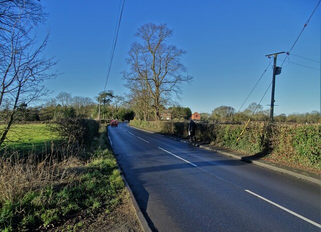
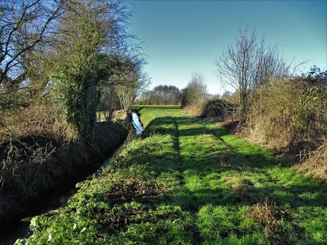
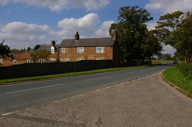
Asselby is a small village located in the East Riding of Yorkshire, England. Situated approximately 14 miles south-west of the city of York, Asselby is nestled in the picturesque countryside and is bordered by the River Ouse to the east. It falls within the civil parish of Asselby and Hemingbrough.
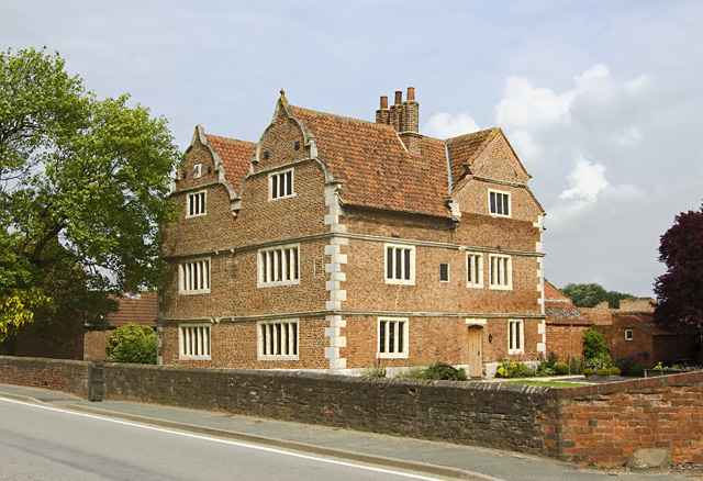
The village has a rich history that dates back to the Norman period, as evidenced by the remnants of Asselby Castle. The castle, which was originally built in the late 11th century, is now a scheduled ancient monument and a popular attraction for history enthusiasts.
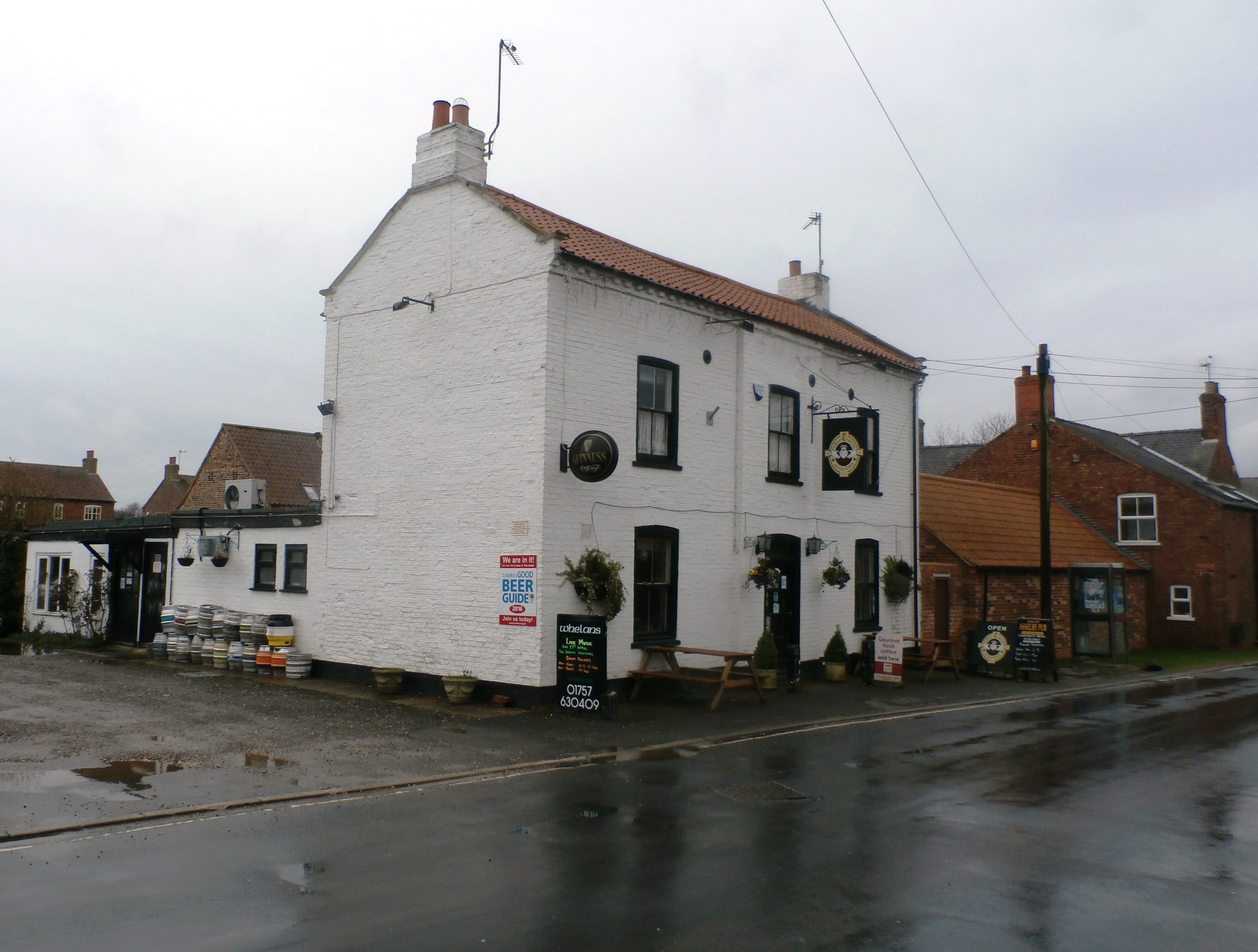
Despite its small size, Asselby offers a range of amenities to its residents and visitors. The village is home to a charming parish church, St. John the Baptist, which showcases stunning architectural features and holds regular services. Additionally, Asselby has a community hall that hosts various social events and gatherings throughout the year.
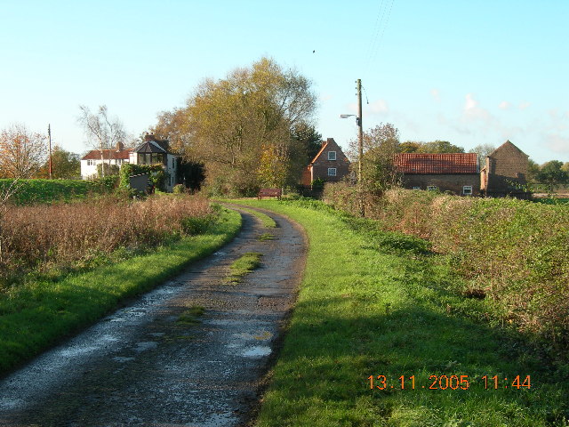
Asselby benefits from its idyllic location, surrounded by lush green fields and rolling hills. It offers plenty of opportunities for outdoor activities such as walking, cycling, and fishing along the River Ouse. The village is also conveniently located near the A614 road, providing easy access to nearby towns and cities.
Overall, Asselby is a quaint and historic village in Yorkshire, offering a peaceful and picturesque setting for residents and visitors alike. Its rich heritage, charming amenities, and beautiful surroundings make it an appealing destination for those seeking a tranquil countryside retreat.
If you have any feedback on the listing, please let us know in the comments section below.
Asselby Images
Images are sourced within 2km of 53.74382/-0.912246 or Grid Reference SE7128. Thanks to Geograph Open Source API. All images are credited.


Asselby is located at Grid Ref: SE7128 (Lat: 53.74382, Lng: -0.912246)
Division: East Riding
Unitary Authority: East Riding of Yorkshire
Police Authority: Humberside
What 3 Words
///joyously.encoded.roofs. Near Airmyn, East Yorkshire
Nearby Locations
Related Wikis
Asselby
Asselby is a village and civil parish in the East Riding of Yorkshire, England. It is located in the south-west of the county, north of the River Ouse...
Barn Hill Meadows
Barn Hill Meadows is a Site of Special Scientific Interest (SSSI) in the East Riding of Yorkshire, England. It is located close to the town of Howden....
Knedlington
Knedlington is a small hamlet and former civil parish, now in the parish of Asselby, in the East Riding of Yorkshire, England. It is situated approximately...
Newsholme, East Riding of Yorkshire
Newsholme is a hamlet in the East Riding of Yorkshire, England. It is situated approximately 2 miles (3.2 km) north-west of the market town of Howden and...

River Aire
The River Aire is a major river in Yorkshire, England, 92 miles (148 km) in length. Part of the river below Leeds is canalised, and is known as the Aire...

Barmby railway station
Barmby railway station was a station on the Hull and Barnsley Railway, and served the village of Barmby on the Marsh in the East Riding of Yorkshire, England...

Boothferry (UK Parliament constituency)
Boothferry was a constituency in Humberside which returned one Member of Parliament (MP) to the House of Commons of the Parliament of the United Kingdom...
Booth, East Riding of Yorkshire
Booth is a hamlet near Goole, in the East Riding of Yorkshire, England. Booth is also known as Boothferry or Boothferry Bridge. == References ==
Related Videos
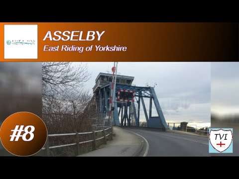
ASSELBY: East Riding of Yorkshire Parish #8 of 172
Sometimes TVI goes to a place expecting to see a few things that are obvious, but in fact ends up with way more than he ...
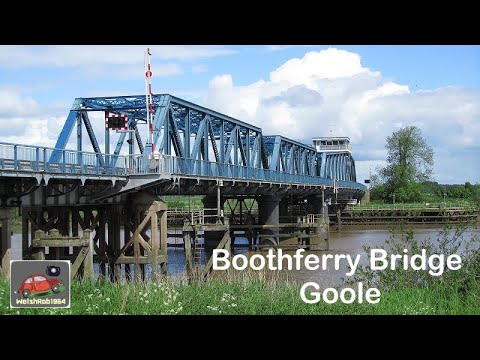
Boothferry Bridge, Goole, East Riding of Yorkshire
I came across the Boothferry Bridge over the River Ouse one sunny summer's day in 2012, I was blown away by it. These few ...
FJL CHANTRY VOLVO FH V4 ENGINE RUNNING AND SIDE LIGHTS ON
volvo #volvofh #fjlchantry Please like share and subscribe I APPRICEATE all the support. Follow my Instagram ...
Nearby Amenities
Located within 500m of 53.74382,-0.912246Have you been to Asselby?
Leave your review of Asselby below (or comments, questions and feedback).