Park Plantation

Wood, Forest in Surrey Reigate and Banstead

England

Park Plantation

Emmanuel  Church, Sidlow Bridge Emmanuel Church designed by Henry Clutton and built in 1861. It was dedicated in 1892 and stands near the bridge over the Mole.
Emmanuel Church, Sidlow Bridge Credit: John Barrett

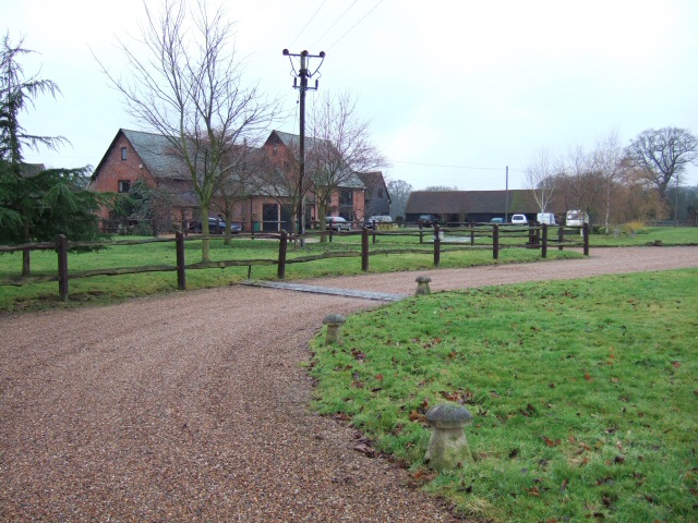
Park Plantation is a charming woodland located in Surrey, England. Situated in the heart of the county, it is known for its lush greenery and picturesque surroundings, making it a popular destination for nature enthusiasts and local residents alike.

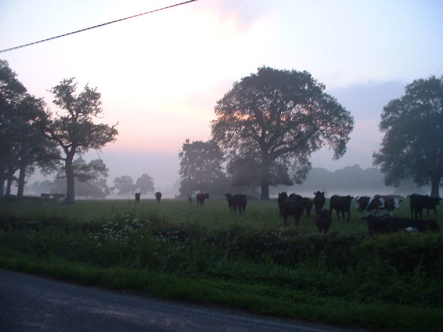
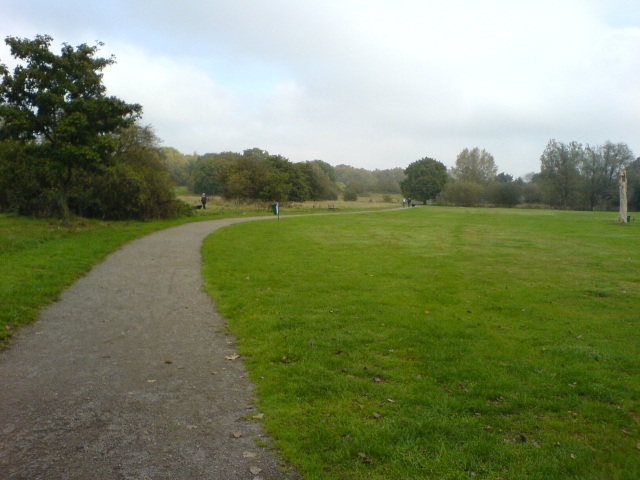
Covering an area of approximately 100 acres, Park Plantation is predominantly made up of dense woodland, consisting of various species of trees such as oak, beech, and birch. The tall, majestic trees provide a canopy of shade during the summer months, creating a serene and tranquil atmosphere for visitors to enjoy.

The woodland is crisscrossed by several well-maintained trails, offering visitors the opportunity to explore and immerse themselves in the natural beauty of the area. These pathways are suitable for both leisurely strolls and more adventurous hikes, ensuring that there is something for everyone.

The plantation is also home to a diverse range of wildlife, including birds, squirrels, and deer. Birdwatchers will be delighted by the presence of various species, such as the great tits, blue tits, and robins, that can be spotted throughout the year.

In addition to its natural beauty, Park Plantation offers several amenities for visitors. There are designated picnic areas equipped with benches and tables, providing a perfect spot for families and groups to enjoy a meal surrounded by nature. Furthermore, the plantation has ample parking facilities, making it easily accessible for those traveling by car.

Overall, Park Plantation in Surrey is a wonderful destination for individuals seeking a peaceful and idyllic escape from the hustle and bustle of everyday life. With its enchanting woodland, well-maintained trails, and abundant wildlife, it offers a truly immersive and enriching experience for all who visit.

If you have any feedback on the listing, please let us know in the comments section below.

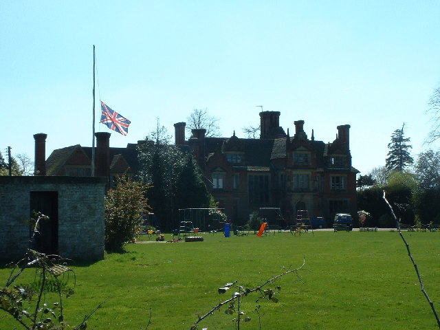
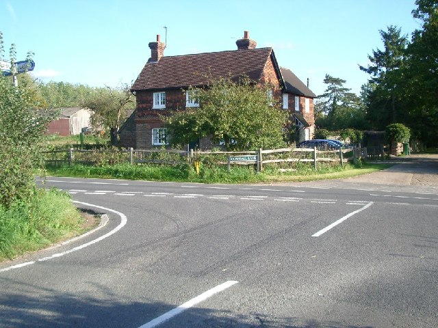
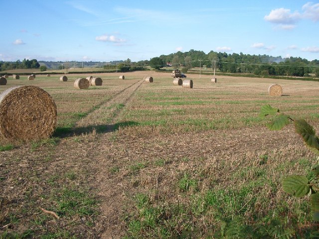
Park Plantation Images

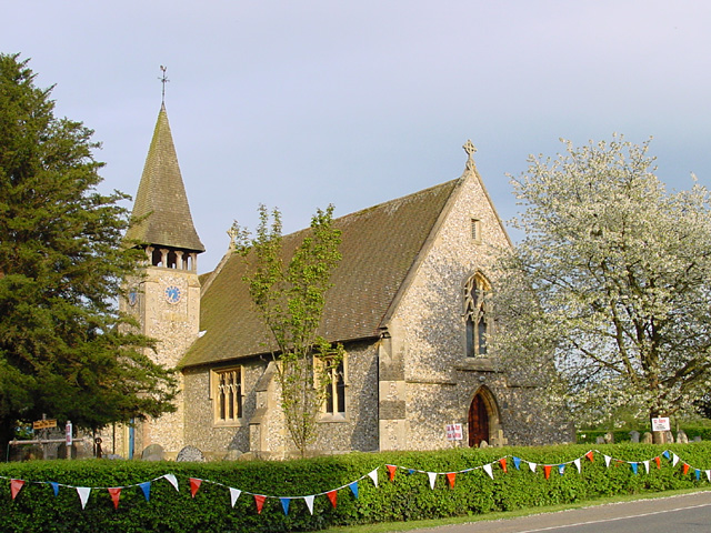
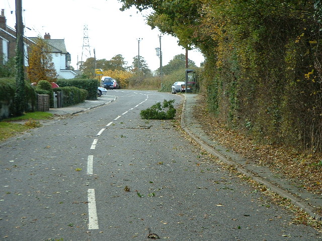
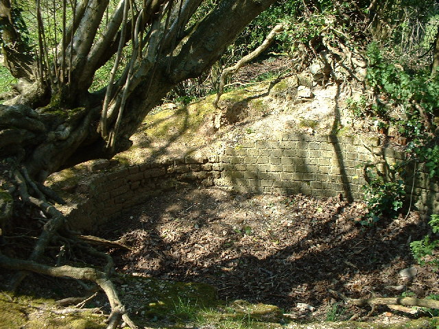
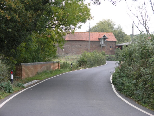
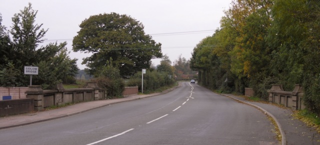
Images are sourced within 2km of 51.213067/-0.20822833 or Grid Reference TQ2547. Thanks to Geograph Open Source API. All images are credited.

Emmanuel  Church, Sidlow Bridge Emmanuel Church designed by Henry Clutton and built in 1861. It was dedicated in 1892 and stands near the bridge over the Mole.
Emmanuel Church, Sidlow Bridge
Emmanuel Church designed by Henry Clutton and built in 1861. It was dedicated in 1892 and stands near the bridge over the Mole.
Irons Bottom following a storm
Sunrise at Irons Bottom Just before dawn - during a partial solar eclipse
Sunrise at Irons Bottom
Just before dawn - during a partial solar eclipse
Remains of a Lime Kiln near Leigh
Bury's Court School
Bury's Court School
Flanchford Farm At the junction of Flanchford Road with Clayhall Lane (looking south-east)
Flanchford Farm
At the junction of Flanchford Road with Clayhall Lane (looking south-east)
Footpath north of Clayhall Lane looking north - the line of tyre tracks across the field is clearly visible
Footpath north of Clayhall Lane
looking north - the line of tyre tracks across the field is clearly visible
Earlswood Common Earlswood Common is an open area where people can come and walk.
Earlswood Common
Earlswood Common is an open area where people can come and walk.
Swans on Earlswood Common Earlswood common has two lakes.  This, the lower lake dates back to the 14th century and used to be popular for swimming.  Today, it's used for fishing and also houses a population of wild fowl.
Swans on Earlswood Common
Earlswood common has two lakes. This, the lower lake dates back to the 14th century and used to be popular for swimming. Today, it's used for fishing and also houses a population of wild fowl.
Bridge over Salfords Stream The road bridge over Salfords Stream.  Some buildings belonging to Lonesome Farm can be seen in the background and a small weir was observed through the trees to the right of the picture.
Bridge over Salfords Stream
The road bridge over Salfords Stream. Some buildings belonging to Lonesome Farm can be seen in the background and a small weir was observed through the trees to the right of the picture.
Public Footpath off Lonesome Lane The writing on this sign reads "Public Footpath to Sidlow" and the path runs through open fields beyond the gate towards Sidlow Bridge.
Public Footpath off Lonesome Lane
The writing on this sign reads "Public Footpath to Sidlow" and the path runs through open fields beyond the gate towards Sidlow Bridge.
Sidlow Bridge Sidlow Bridge in Sidlow, where the A217 crosses the River Mole.
Sidlow Bridge
Sidlow Bridge in Sidlow, where the A217 crosses the River Mole.
Triangulation Pillar, East Top of Park Hill, Reigate Priory Park, Surrey The Trig point isn't quite situated on the top of the E end of this ridge. The top position is occupied by a memorial to the people who presented the park to the town of Reigate (see other photos).
Triangulation Pillar, East Top of Park Hill, Reigate Priory Park, Surrey
The Trig point isn't quite situated on the top of the E end of this ridge. The top position is occupied by a memorial to the people who presented the park to the town of Reigate (see other photos).
Carved Text on Monument, E top of Park Hill, Reigate Priory Park, Surrey On the W face of the monument. Celebrates the presentation of the park by Mr and Mrs Randal Vogan in 1920 to the Corporation of Reigate.
Carved Text on Monument, E top of Park Hill, Reigate Priory Park, Surrey
On the W face of the monument. Celebrates the presentation of the park by Mr and Mrs Randal Vogan in 1920 to the Corporation of Reigate.
Monument, E Top of Park Hill, Reigate Abbey Park, Surrey Commemorates the presentation of the park to the town corporation. See other view for detail of carved text.
Monument, E Top of Park Hill, Reigate Abbey Park, Surrey
Commemorates the presentation of the park to the town corporation. See other view for detail of carved text.
Ridge leading to W Top of Park Hill, Reigate Abbey Park, Surrey Park Hill is a ridge stretching for 600m in an E-W direction. The hill occupies this grid square and the adjacent one <a href="https://www.geograph.org.uk/gridref/TQ2549">TQ2549</a>. The top of the ridge is quite flat, and gives good views in northerly and southerly directions. View taken looking W.
Ridge leading to W Top of Park Hill, Reigate Abbey Park, Surrey
Park Hill is a ridge stretching for 600m in an E-W direction. The hill occupies this grid square and the adjacent one TQ2549. The top of the ridge is quite flat, and gives good views in northerly and southerly directions. View taken looking W.
Hartswood Manor Now a collection of private houses.
Hartswood Manor
Now a collection of private houses.
Local Shops in South Park Some local shops in South Park, just south of Reigate.
Local Shops in South Park
Some local shops in South Park, just south of Reigate.
Show me another place!

Park Plantation is located at Grid Ref: TQ2547 (Lat: 51.213067, Lng: -0.20822833)

Administrative County: Surrey

District: Reigate and Banstead

Police Authority: Surrey

What 3 Words

///rising.spoil.stroke. Near Reigate, Surrey

Related Wikis

Sidlow

Sidlow is a mainly rural, lightly populated village in the parish of Salfords and Sidlow, in the south of the borough of Reigate and Banstead in Surrey...

South Park F.C.

South Park Reigate Football Club are an English football club based in Reigate, Surrey. The club is affiliated to the Surrey County Football Association...

Reigate Hundred

Reigate was a hundred in the historic county of Surrey, England. It was geographically consonant with the southern two thirds of the current Borough of...

Reigate School

Reigate School is an 11–16 mixed secondary school with academy status in Reigate, Surrey, England. It has been a part of the Greensand Multi-Academy Trust...

Nearby Amenities

Located within 500m of 51.213067,-0.20822833
Hartswood
Building: yes
Source: npe
Wikidata: Q17547822
Lat/Long: 51.2149657/-0.212116
Type FW3/24
Building: bunker
Bunker Type: pillbox
Military: bunker
Source: Yahoo, local knowledge
Lat/Long: 51.2127379/-0.2044552
Type FW3/24
Building: bunker
Military: bunker
Lat/Long: 51.2111034/-0.2065752
Type FW3/24
Building: bunker
Bunker Type: pillbox
Military: bunker
Source: Yahoo
Lat/Long: 51.2112808/-0.2096308
Building: bunker
Bunker Type: pillbox
Military: bunker
Source: Yahoo
Lat/Long: 51.208845/-0.2072018
Building: bunker
Bunker Type: pillbox
Military: bunker
Source: Yahoo
Lat/Long: 51.2097681/-0.2034118
Bus Stop
Kinnersley Walk
Bus: yes
Naptan AtcoCode: 40004409926A
Naptan Bearing: S
Naptan CommonName: Kinnersley Walk
Naptan Indicator: Just Before
Naptan Landmark: Kinnersley Walk
Naptan NaptanCode: surdmdpw
Naptan Street: Castle Drive
Naptan Verified: yes
Public Transport: platform
Source: naptan_import
Wheelchair: limited
Lat/Long: 51.2164631/-0.203633
Waste Basket
Lat/Long: 51.2164755/-0.2036595
Kinnersley Walk
Bus: yes
Public Transport: stop_position
Lat/Long: 51.2164511/-0.2037119
Bus Stop
Kinnersley Walk
Bus: yes
Naptan AtcoCode: 40004409926B
Naptan NaptanCode: surgtmpm
Public Transport: platform
Wheelchair: limited
Lat/Long: 51.2164403/-0.2037927
The data included in this document is from www.openstreetmap.org. The data is made available under ODbL.

Have you been to Park Plantation?

Leave your review of Park Plantation below (or comments, questions and feedback).