The Valley

Wood, Forest in Lincolnshire

England

The Valley

Ridge and Furrow at Beesby: aerial 2024 See: <span class="nowrap"><a title="https://www.heritagegateway.org.uk/Gateway/Results_Single.aspx?uid=MNL234&resourceID=1039" rel="nofollow ugc noopener" href="https://www.heritagegateway.org.uk/Gateway/Results_Single.aspx?uid=MNL234&resourceID=1039">Link</a><img style="margin-left:2px;" alt="External link" title="External link - shift click to open in new window" src="https://s1.geograph.org.uk/img/external.png" width="10" height="10"/></span> and
<a href="https://www.geograph.org.uk/photo/7700605">TF2696 : Historic settlement of Beesby: aerial 2024 (1)</a>
Ridge and Furrow at Beesby: aerial 2024 Credit: Simon Tomson

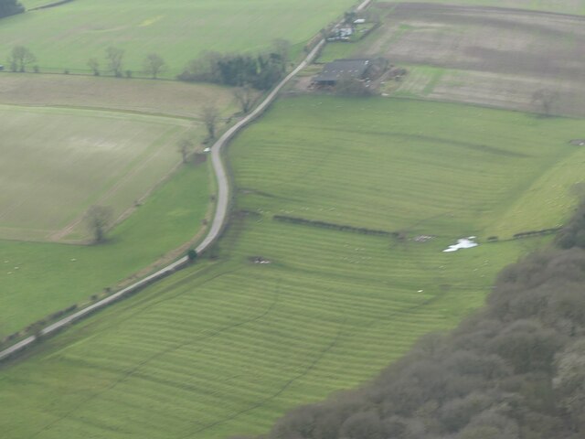
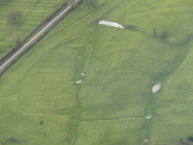
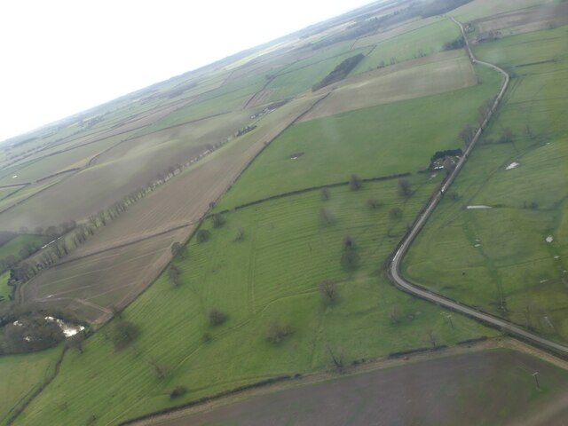
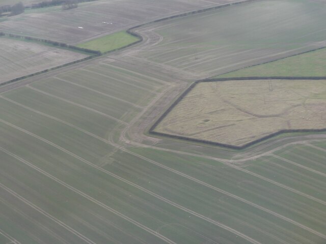
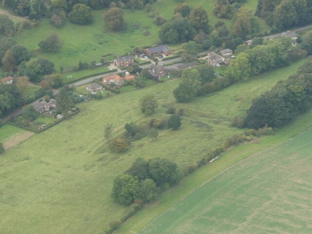
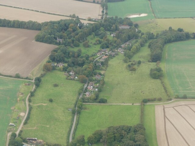
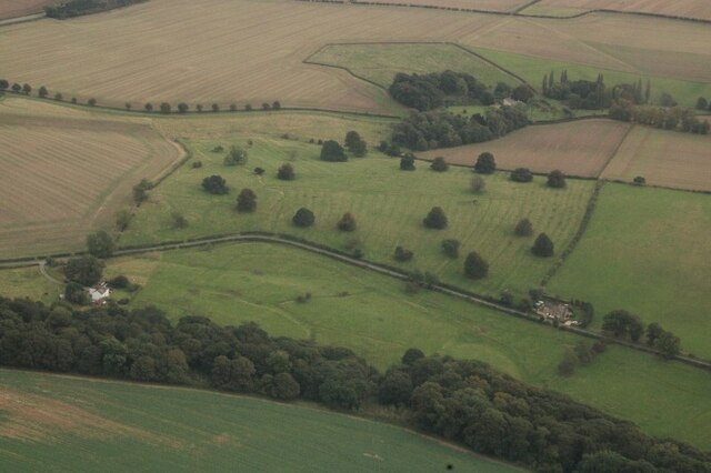
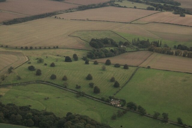
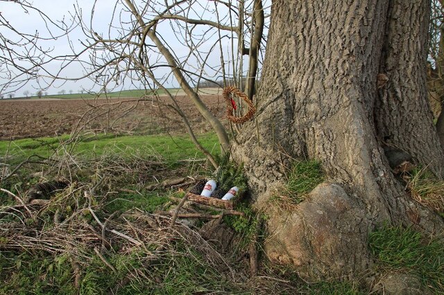
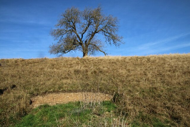
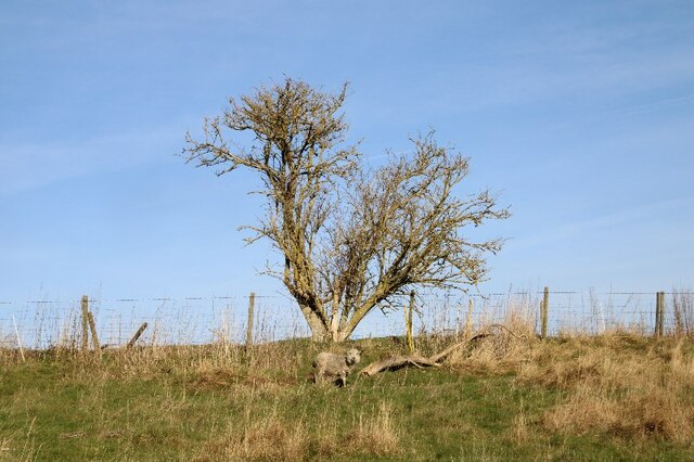
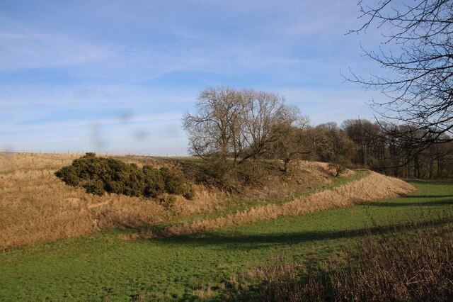
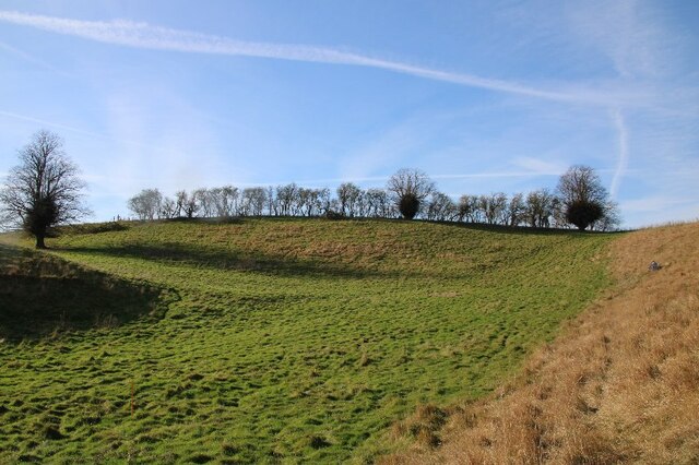
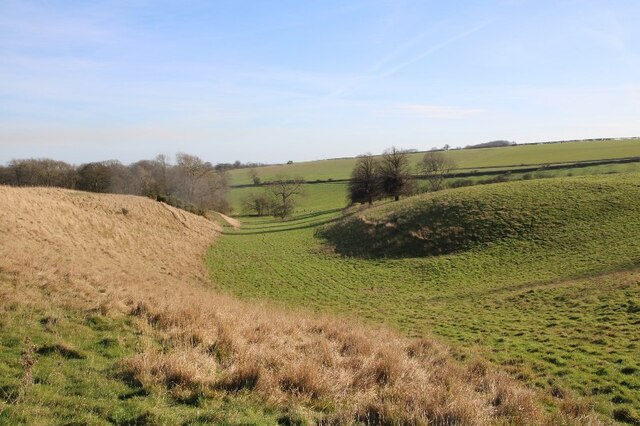
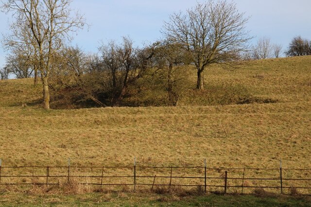
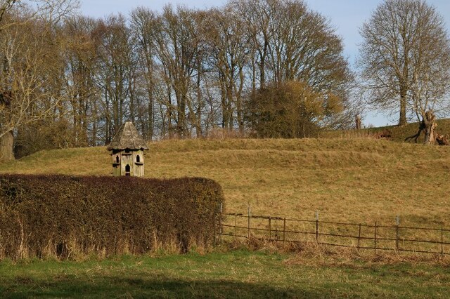
The Valley, located in Lincolnshire, is a picturesque woodland area known for its natural beauty and serene atmosphere. Nestled within this region is an enchanting forest, which stretches across several hectares of land. The Valley's woodland is home to a diverse array of flora and fauna, with towering oak and beech trees dominating the landscape. These majestic trees provide a dense canopy, creating a cool and tranquil environment for visitors to enjoy.

The forest boasts a rich biodiversity, with numerous wildlife species inhabiting its grounds. Visitors may spot a variety of birds, including woodpeckers, owls, and different species of songbirds. The forest is also home to small mammals such as squirrels, foxes, and hedgehogs, which can often be seen scurrying among the undergrowth.

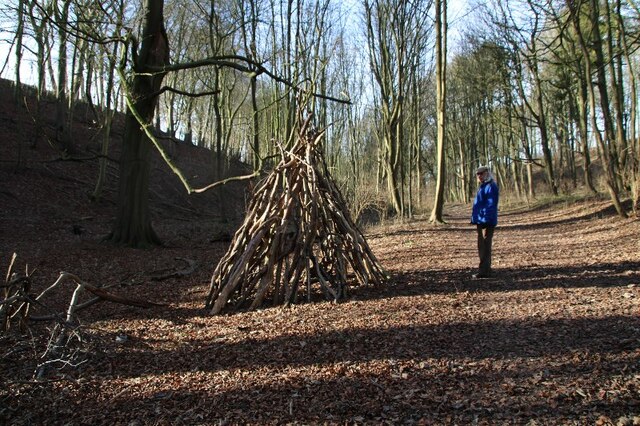
The Valley is a popular destination for nature enthusiasts, offering a range of activities for visitors to partake in. Hiking and walking trails wind through the forest, allowing visitors to explore its natural wonders at their own pace. The trails are well-maintained and offer breathtaking views of the surrounding countryside.

In addition to its natural beauty, The Valley also features several amenities for visitors. There are picnic areas and benches scattered throughout the forest, providing the perfect spot for a leisurely lunch or a moment of relaxation. Interpretive signs and educational displays are also present, offering information about the local wildlife and the importance of conservation.

Overall, The Valley in Lincolnshire is a haven of tranquility and natural splendor. Its woodlands and forests offer a serene escape from the bustling city life, allowing visitors to immerse themselves in the beauty of nature.

If you have any feedback on the listing, please let us know in the comments section below.

The Valley Images

Images are sourced within 2km of 53.446368/-0.11570937 or Grid Reference TF2596. Thanks to Geograph Open Source API. All images are credited.

Ridge and Furrow at Beesby: aerial 2024 See: <span class="nowrap"><a title="https://www.heritagegateway.org.uk/Gateway/Results_Single.aspx?uid=MNL234&resourceID=1039" rel="nofollow ugc noopener" href="https://www.heritagegateway.org.uk/Gateway/Results_Single.aspx?uid=MNL234&resourceID=1039">Link</a><img style="margin-left:2px;" alt="External link" title="External link - shift click to open in new window" src="https://s1.geograph.org.uk/img/external.png" width="10" height="10"/></span> and
<a href="https://www.geograph.org.uk/photo/7700605">TF2696 : Historic settlement of Beesby: aerial 2024 (1)</a>
Ridge and Furrow at Beesby: aerial 2024
Historic settlement of Beesby: aerial 2024 (1) See: <span class="nowrap"><a title="https://www.heritagegateway.org.uk/Gateway/Results_Single.aspx?uid=MNL234&resourceID=1039" rel="nofollow ugc noopener" href="https://www.heritagegateway.org.uk/Gateway/Results_Single.aspx?uid=MNL234&resourceID=1039">Link</a><img style="margin-left:2px;" alt="External link" title="External link - shift click to open in new window" src="https://s1.geograph.org.uk/img/external.png" width="10" height="10"/></span> and
<a href="https://www.geograph.org.uk/photo/7700568">TF2696 : Ridge and Furrow at Beesby: aerial 2024</a>
Historic settlement of Beesby: aerial 2024 (1)
Historic settlement of Beesby: aerial 2024 (2) See: <span class="nowrap"><a title="https://www.heritagegateway.org.uk/Gateway/Results_Single.aspx?uid=MNL234&resourceID=1039" rel="nofollow ugc noopener" href="https://www.heritagegateway.org.uk/Gateway/Results_Single.aspx?uid=MNL234&resourceID=1039">Link</a><img style="margin-left:2px;" alt="External link" title="External link - shift click to open in new window" src="https://s1.geograph.org.uk/img/external.png" width="10" height="10"/></span> and
<a href="https://www.geograph.org.uk/photo/7700568">TF2696 : Ridge and Furrow at Beesby: aerial 2024</a>
Historic settlement of Beesby: aerial 2024 (2)
Site of Deserted Village of Cadeby: aerial 2024 See: <span class="nowrap"><a title="https://www.heritagegateway.org.uk/Gateway/Results_Single.aspx?uid=MLI43622&resourceID=1006" rel="nofollow ugc noopener" href="https://www.heritagegateway.org.uk/Gateway/Results_Single.aspx?uid=MLI43622&resourceID=1006">Link</a><img style="margin-left:2px;" alt="External link" title="External link - shift click to open in new window" src="https://s1.geograph.org.uk/img/external.png" width="10" height="10"/></span>
Site of Deserted Village of Cadeby: aerial 2024
See: LinkExternal link
Wold Newton: aerial 2021 (1)
Wold Newton: aerial 2021 (2)
Beesby DMV: aerial 2021 (1) Mentioned in "Beresford's Lost Villages": <span class="nowrap"><a title="http://www.dmvhull.org/dmvDetail.cfm?dbkey=3727&county=true" rel="nofollow ugc noopener" href="http://www.dmvhull.org/dmvDetail.cfm?dbkey=3727&county=true">Link</a><img style="margin-left:2px;" alt="External link" title="External link - shift click to open in new window" src="https://s1.geograph.org.uk/img/external.png" width="10" height="10"/></span>

Otherwise seems to be undocumented.
Beesby DMV: aerial 2021 (1)
Mentioned in "Beresford's Lost Villages": LinkExternal link Otherwise seems to be undocumented.
Beesby DMV: aerial 2021 (2) Mentioned in "Beresford's Lost Villages": <span class="nowrap"><a title="http://www.dmvhull.org/dmvDetail.cfm?dbkey=3727&county=true" rel="nofollow ugc noopener" href="http://www.dmvhull.org/dmvDetail.cfm?dbkey=3727&county=true">Link</a><img style="margin-left:2px;" alt="External link" title="External link - shift click to open in new window" src="https://s1.geograph.org.uk/img/external.png" width="10" height="10"/></span>

Otherwise seems to be undocumented.
Beesby DMV: aerial 2021 (2)
Mentioned in "Beresford's Lost Villages": LinkExternal link Otherwise seems to be undocumented.
Near Hawerby: an offering to the Wanderlust Gods or a rescue package for exhausted walkers? Beside the Wanderlust Way.
Near Hawerby: an offering to the Wanderlust Gods or a rescue package for exhausted walkers?
Beside the Wanderlust Way.
Glacial valley, Beesby, near the Wanderlust Way (1)
The one that got away? Lone sheep near Beesby, by the Wanderlust Way
The Valley, approaching Wold Newton
Glacial valley, Beesby, near the Wanderlust Way (2)
Glacial valley, Beesby, near the Wanderlust Way (3)
Glacial valley, Beesby, near the Wanderlust Way (4)
Lynchets: Wold Newton (1)
Lynchets: Wold Newton (2)
Statue of St Hubert in Wold Newton Church
Show me another place!

The Valley is located at Grid Ref: TF2596 (Lat: 53.446368, Lng: -0.11570937)

Unitary Authority: North East Lincolnshire

Police Authority: Humberside

What 3 Words

///translated.messaging.same. Near Wold Newton, Lincolnshire

Nearby Locations

The Valley

Related Wikis

Wold Newton, Lincolnshire

Wold Newton is a village and civil parish in North East Lincolnshire, England. It is situated just over 1 mile (1.6 km) west from the A18 road, 7 miles...

Wyham cum Cadeby

Wyham cum Cadeby (otherwise Wyham with Caldeby) is a depopulated civil parish in the East Lindsey district of Lincolnshire, England. The nearest village...

Swinhope

Swinhope is a village and civil parish about 6 miles west south west of North Thoresby railway station, in the West Lindsey district, in the county of...

East Ravendale

East Ravendale is a small village and civil parish in North East Lincolnshire, England. It is situated 6 miles (9.7 km) south-south-west from Grimsby,...

RAF Kelstern

Royal Air Force Kelstern or RAF Kelstern is a former Royal Air Force station 3.6 miles (5.8 km) south east of Binbrook, Lincolnshire and 4.9 miles (7...

Grainsby

Grainsby is a hamlet and civil parish in the East Lindsey district of Lincolnshire, England. It is situated 5 miles (8 km) south from Grimsby, and just...

Ludborough

Ludborough is a village and civil parish in the East Lindsey district of Lincolnshire, England. It is situated approximately 5 miles (8 km) north from...

West Ravendale Priory

West Ravendale Priory was a Premonstratensian priory in North East Lincolnshire, England and one of nine within the historical county. The site of the...

Nearby Amenities

Located within 500m of 53.446368,-0.11570937
Natural: peak
Source: Bing
Lat/Long: 53.4432448/-0.1169977
The Valley
Place: locality
Source: Bing
Lat/Long: 53.4465676/-0.1177285
The data included in this document is from www.openstreetmap.org. The data is made available under ODbL.

Have you been to The Valley?

Leave your review of The Valley below (or comments, questions and feedback).