Ashen Grove Wood
Wood, Forest in Surrey
England
Ashen Grove Wood

Ashen Grove Wood is a picturesque forest located in Surrey, England. Covering an area of approximately 300 acres, it is a haven of tranquility and natural beauty. The wood is situated in the southern part of Surrey, near the town of Dorking, and is easily accessible by both car and public transport.
The woodland is characterized by its diverse range of tree species, including oak, beech, and birch. These majestic trees create a dense canopy, providing shade on sunny days and shelter during inclement weather. The forest floor is covered with a rich carpet of mosses, ferns, and wildflowers, adding to the enchanting atmosphere.
Ashen Grove Wood is not only home to an extensive variety of flora, but also boasts a thriving ecosystem of wildlife. Visitors may spot deer gracefully wandering through the trees, while squirrels scurry along the branches above. The wood is also a haven for birdwatchers, with a wide range of avian species residing in the area. Woodpeckers, owls, and songbirds can often be heard in the distance, their melodic calls adding to the serenity of the wood.
The wood offers a multitude of walking trails, allowing visitors to explore its natural wonders at their own pace. These paths wind through the forest, leading to hidden clearings and babbling brooks. The wood is also intersected by a small river, which adds to its charm and provides a peaceful backdrop for a picnic or a moment of quiet contemplation.
Ashen Grove Wood is a true gem in the Surrey countryside, offering a peaceful escape from the hustle and bustle of everyday life. Whether it's for a leisurely stroll, birdwatching, or simply enjoying the beauty of nature, this woodland sanctuary is a must-visit destination.
If you have any feedback on the listing, please let us know in the comments section below.
Ashen Grove Wood Images
Images are sourced within 2km of 51.436609/-0.20480405 or Grid Reference TQ2472. Thanks to Geograph Open Source API. All images are credited.


Ashen Grove Wood is located at Grid Ref: TQ2472 (Lat: 51.436609, Lng: -0.20480405)
Unitary Authority: Merton
Police Authority: Metropolitan
What 3 Words
///stiff.count.whites. Near Earlsfield, London
Nearby Locations
Related Wikis

Wimbledon Park
Wimbledon Park is the name of an urban park in Wimbledon and also of the suburb south and east of the park and the Wimbledon Park tube station. The park...
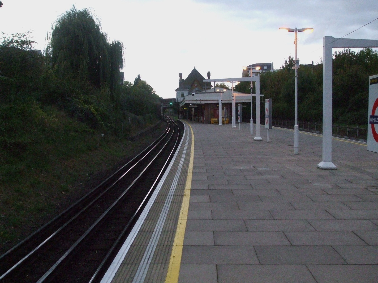
Wimbledon Park tube station
Wimbledon Park is a London Underground station in Wimbledon. The station is on the District line and is between Southfields and Wimbledon stations. The...
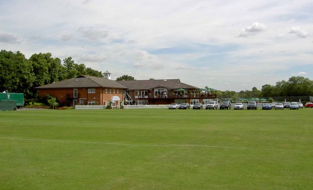
Wimbledon Cricket Club Ground
Wimbledon Cricket Club Ground is a cricket ground in Wimbledon, London. The ground is located opposite the All England Lawn Tennis and Croquet Club, famous...
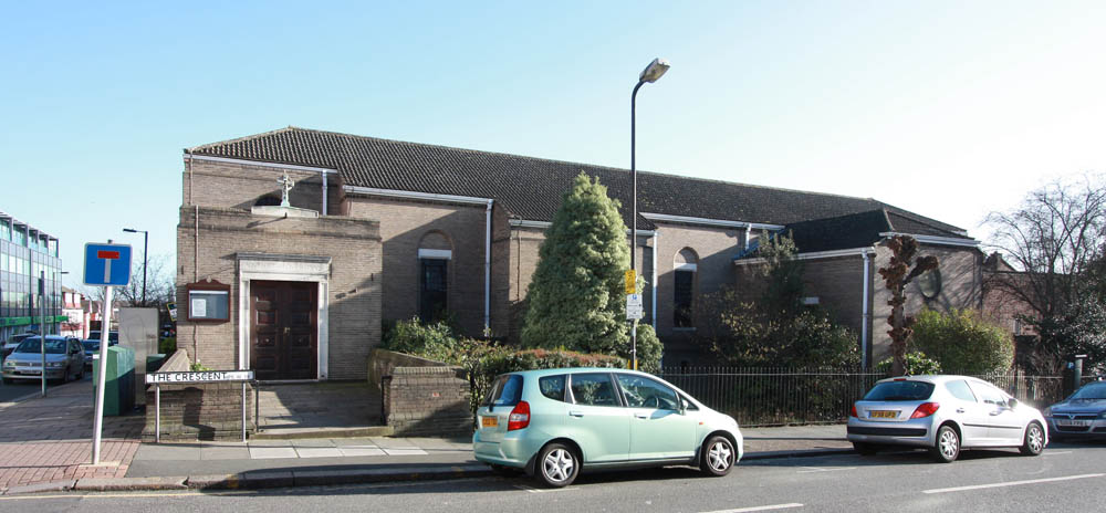
Christ the King Church, Wimbledon Park
Christ the King Church is a Roman Catholic Parish church in the Wimbledon Park area of Wimbledon in the London Borough of Merton. It was founded in 1913...
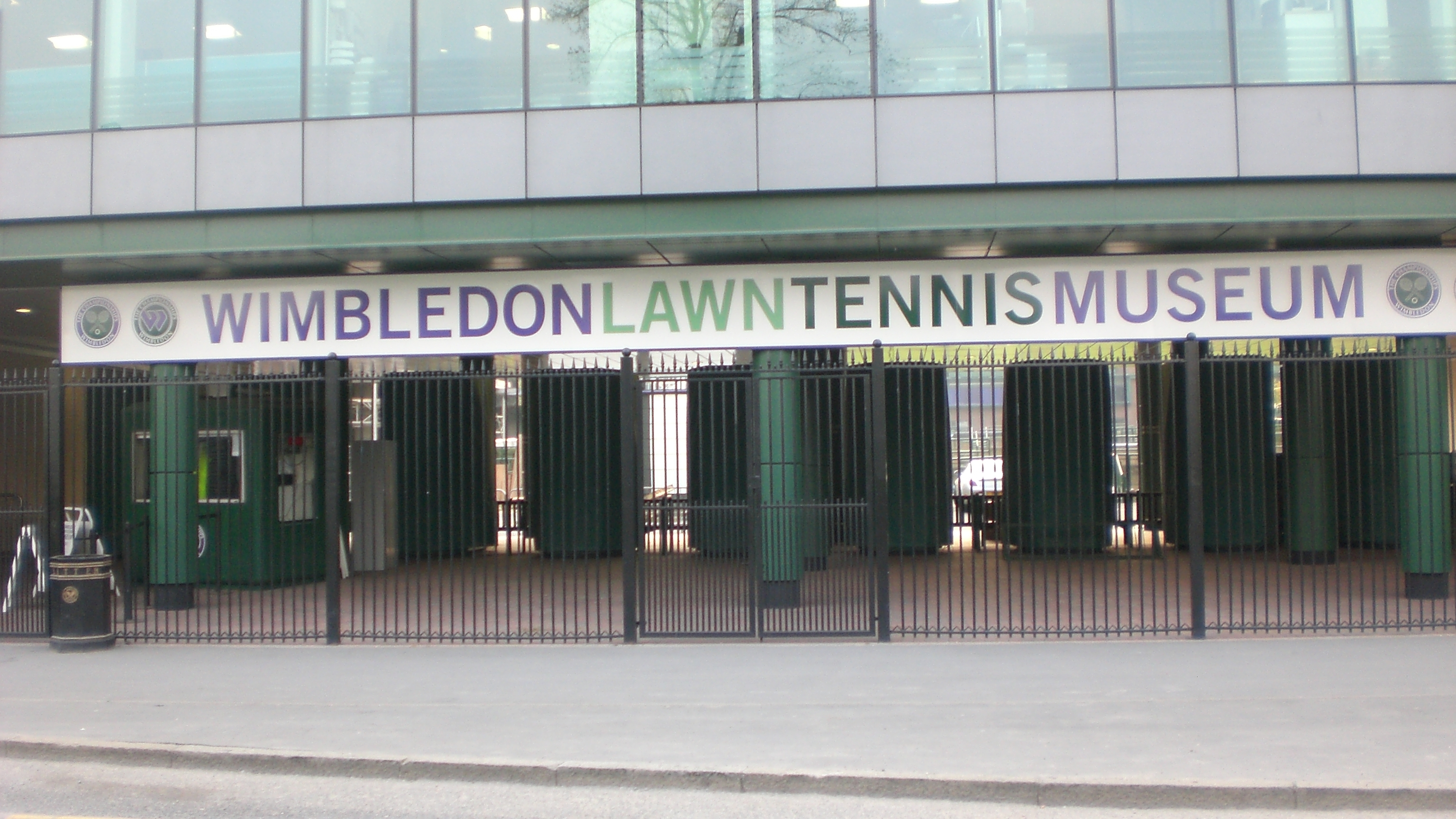
Wimbledon Lawn Tennis Museum
Wimbledon Lawn Tennis Museum (WLTM) is the largest tennis museum in the world. The museum was inaugurated at The Championships centenary event in 1977...

No. 1 Court (Wimbledon)
No. 1 Court is a tennis court at the All England Lawn Tennis and Croquet Club, Wimbledon, London. Opened in 1997, it is used primarily for the Wimbledon...
Radio Wimbledon
Radio Wimbledon was the official radio station to the annual Wimbledon Tennis Championships at the AELTC in Wimbledon. Their contract finished in 2011...

Centre Court
Centre Court is a tennis court at the All England Lawn Tennis and Croquet Club (also known as the All England Club) and is the main court used in The Championships...
Nearby Amenities
Located within 500m of 51.436609,-0.20480405Have you been to Ashen Grove Wood?
Leave your review of Ashen Grove Wood below (or comments, questions and feedback).