Target Plantation

Wood, Forest in Lincolnshire

England

Target Plantation

Equestrian facility near Ashby-cum-Fenby: aerial 2021
Equestrian facility near Ashby-cum-Fenby: aerial 2021 Credit: Simon Tomson

The requested URL returned error: 429 Too Many Requests

If you have any feedback on the listing, please let us know in the comments section below.

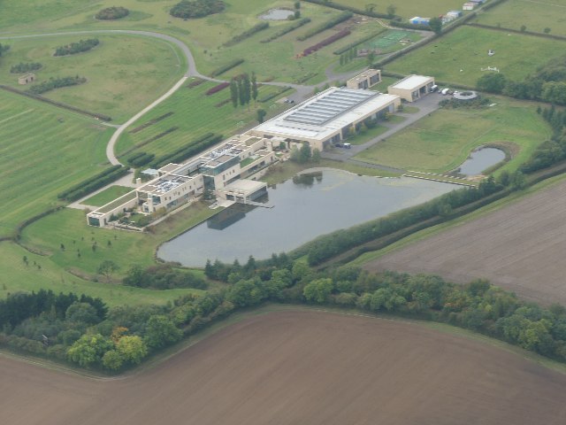
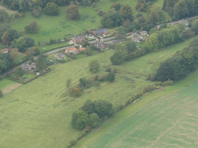
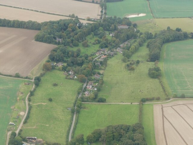
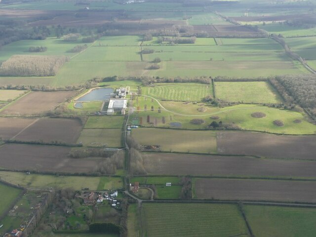
Target Plantation Images

Images are sourced within 2km of 53.471209/-0.12554789 or Grid Reference TF2498. Thanks to Geograph Open Source API. All images are credited.

Equestrian facility near Ashby-cum-Fenby: aerial 2021
Wold Newton: aerial 2021 (1)
Wold Newton: aerial 2021 (2)
Across Ashby cum Fenby to the equestrian facility at South Farm: aerial 2022
Equestrian facility at South Farm, Ashby cum Fenby: aerial 2022 See also <a href="https://www.geograph.org.uk/photo/7144747">TF2599 : Across Ashby cum Fenby to the equestrian facility at South Farm: aerial 2022</a>.
Equestrian facility at South Farm, Ashby cum Fenby: aerial 2022
Hawerby Hall Farm: aerial 2022
Chalk pit north of Wold Newton: aerial 2022
Hawerby Hall: aerial 2022
Old Milestone by B1539, London Road, outside churchyard The Milestone is located in pavement, back to low wall on the Northeast of the road.  Parish of Long Sutton (South Holland District). Cast iron post,  erected by the Holbeach turnpike trust in the 19th Century. An earlier photograph can be found here: <a title="https://www.geograph.org.uk/photo/6035412" href="https://www.geograph.org.uk/photo/6035412">Link</a> 

Inscription reads:-  
HOLBEACH / 5M / SPALDING / 13M : : SUTTON / BRIDGE / 3M / WISBECH / 9M : : LONG SUTTON  

Milestone Society National ID: LI_HBSU05
Old Milestone by B1539, London Road, outside churchyard
The Milestone is located in pavement, back to low wall on the Northeast of the road.  Parish of Long Sutton (South Holland District). Cast iron post, erected by the Holbeach turnpike trust in the 19th Century. An earlier photograph can be found here: Link  Inscription reads:- HOLBEACH / 5M / SPALDING / 13M : : SUTTON / BRIDGE / 3M / WISBECH / 9M : : LONG SUTTON Milestone Society National ID: LI_HBSU05
Hawerby: aerial 2024 See: <span class="nowrap"><a title="https://www.heritagegateway.org.uk/Gateway/Results_Single.aspx?uid=MNL233&resourceID=1039" rel="nofollow ugc noopener" href="https://www.heritagegateway.org.uk/Gateway/Results_Single.aspx?uid=MNL233&resourceID=1039">Link</a><img style="margin-left:2px;" alt="External link" title="External link - shift click to open in new window" src="https://s1.geograph.org.uk/img/external.png" width="10" height="10"/></span>
Hawerby: aerial 2024
See: LinkExternal link
Fenby Top Wood: aerial 2024
Farmland by the A18, Ashby cum Fenby: aerial 2024
St.Martin's church, East Ravendale, Lincs. By James Fowler in 1857 in the Early English style
St.Martin's church, East Ravendale, Lincs.
By James Fowler in 1857 in the Early English style
St.Margaret's, Hawerby cum Beesby, Lincs. A tiny Early English church with a Norman font, long redundant and in a desperate state of repair.
St.Margaret's, Hawerby cum Beesby, Lincs.
A tiny Early English church with a Norman font, long redundant and in a desperate state of repair.
St.Margaret's church, Hawerby cum Beesby
View from Ravendale Top Towards Petterhills and the coast beyond from Ravendale Top
View from Ravendale Top
Towards Petterhills and the coast beyond from Ravendale Top
Borage Fields of Borage, corn and meadow looking east from near Wold Newton
Borage
Fields of Borage, corn and meadow looking east from near Wold Newton
Track near Wold Newton Farm track climbing the slope towards Hawerby
Track near Wold Newton
Farm track climbing the slope towards Hawerby
Show me another place!

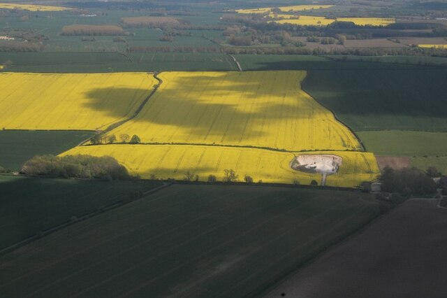
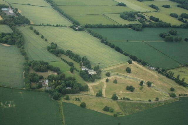
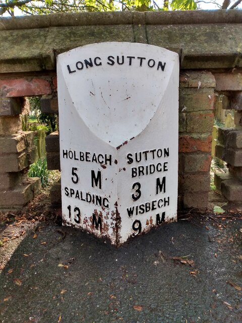
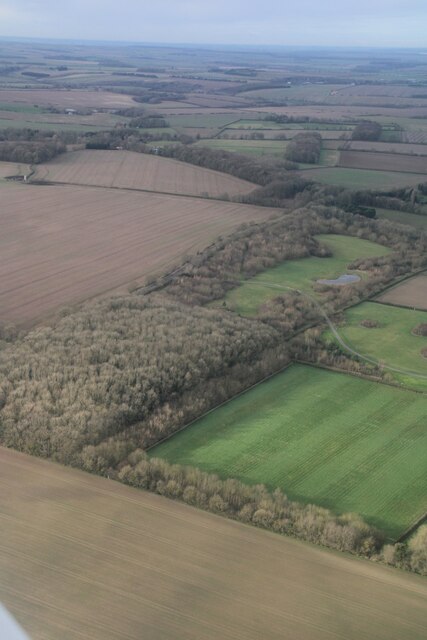
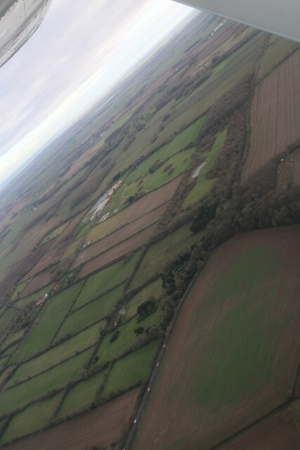
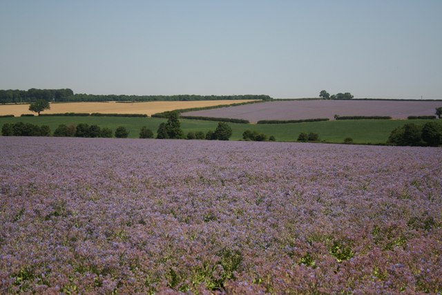
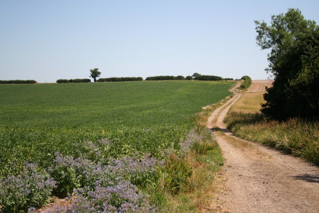
Target Plantation is located at Grid Ref: TF2498 (Lat: 53.471209, Lng: -0.12554789)

Unitary Authority: North East Lincolnshire

Police Authority: Humberside

What 3 Words

///rural.gifted.skins. Near Wold Newton, Lincolnshire

Nearby Locations

Target Plantation

Related Wikis

East Ravendale

East Ravendale is a small village and civil parish in North East Lincolnshire, England. It is situated 6 miles (9.7 km) south-south-west from Grimsby,...

Wold Newton, Lincolnshire

Wold Newton is a village and civil parish in North East Lincolnshire, England. It is situated just over 1 mile (1.6 km) west from the A18 road, 7 miles...

West Ravendale

West Ravendale is a hamlet in the civil parish of East Ravendale , in North East Lincolnshire, England, and approximately 8 miles (13 km) south-west from...

West Ravendale Priory

West Ravendale Priory was a Premonstratensian priory in North East Lincolnshire, England and one of nine within the historical county. The site of the...

Nearby Amenities

Located within 500m of 53.471209,-0.12554789
Power: pole
Lat/Long: 53.4679687/-0.1247606
Power: pole
Lat/Long: 53.4684589/-0.1269743
Power: pole
Lat/Long: 53.4689941/-0.129188
Power: pole
Lat/Long: 53.4693537/-0.1311068
Power: pole
Lat/Long: 53.467478/-0.1225751
The data included in this document is from www.openstreetmap.org. The data is made available under ODbL.

Have you been to Target Plantation?

Leave your review of Target Plantation below (or comments, questions and feedback).