Barnfield Wood
Wood, Forest in Sussex Horsham
England
Barnfield Wood
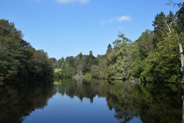
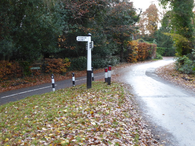
Barnfield Wood is a charming woodland located in the county of Sussex, England. Covering an area of approximately 50 acres, it is nestled in the heart of the Sussex countryside, surrounded by picturesque landscapes and rolling hills. The wood is managed by a local conservation organization, aiming to preserve its natural beauty and protect the diverse range of flora and fauna that call it home.
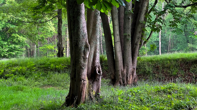
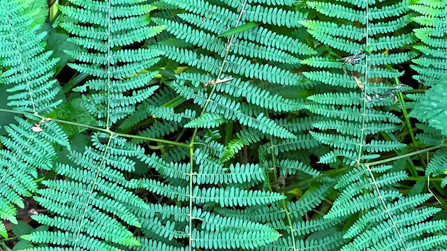
As visitors enter Barnfield Wood, they are greeted by a canopy of majestic oak, beech, and birch trees, which provide a shaded and tranquil atmosphere. The woodland floor is covered with a carpet of wildflowers, including bluebells, primroses, and wood anemones, creating a stunning display of color during the spring months.
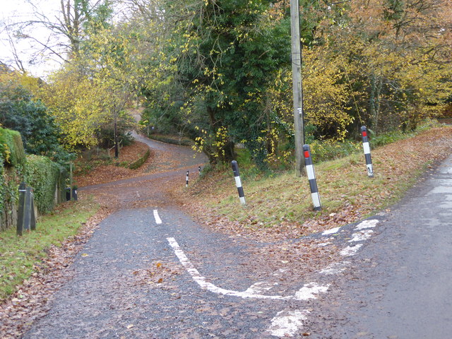
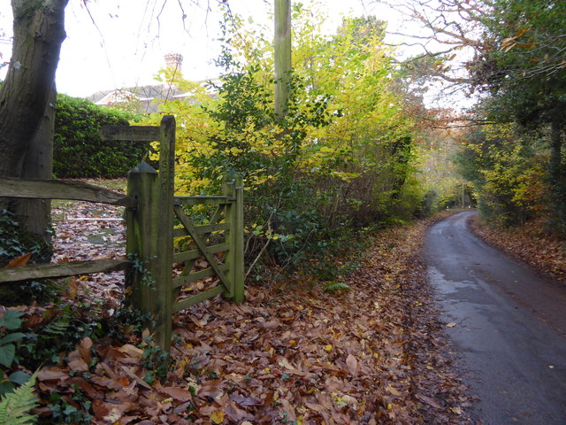
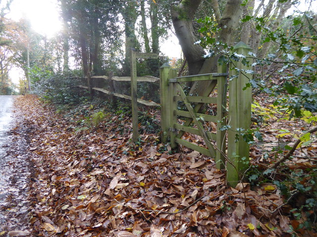
The wood is crisscrossed by a network of well-maintained footpaths and trails, allowing visitors to explore its hidden corners and discover its hidden treasures. Nature enthusiasts can enjoy a leisurely stroll along these paths, admiring the abundance of wildlife that resides within the wood. Birdwatchers will delight in the melodic songs of various species, including woodpeckers, owls, and warblers. Squirrels can be seen darting between branches, while rabbits and deer occasionally make an appearance.
Barnfield Wood is not only a haven for wildlife but also a place for recreational activities. Families can enjoy picnics in designated areas, while children can partake in adventurous nature trails and treasure hunts. The wood also offers opportunities for educational activities, such as nature walks and workshops, where visitors can learn about the importance of woodland conservation and the delicate ecosystem that thrives within.
Overall, Barnfield Wood is a hidden gem in Sussex, offering a peaceful retreat for nature lovers and an enchanting experience for all who visit.
If you have any feedback on the listing, please let us know in the comments section below.
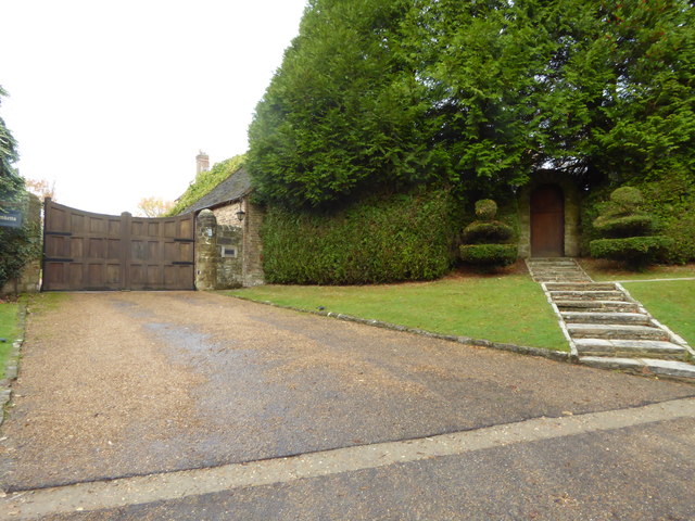
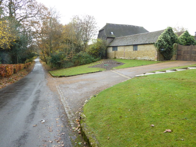
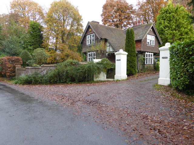
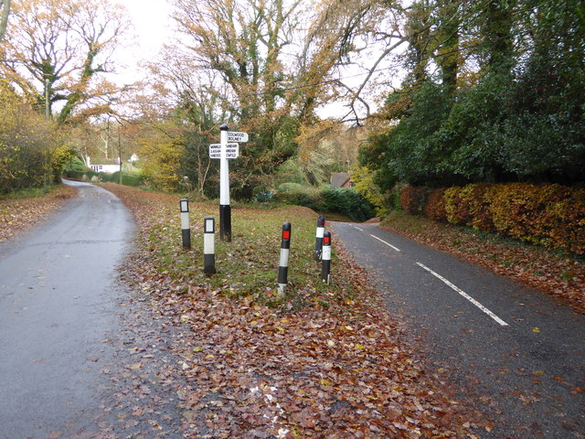
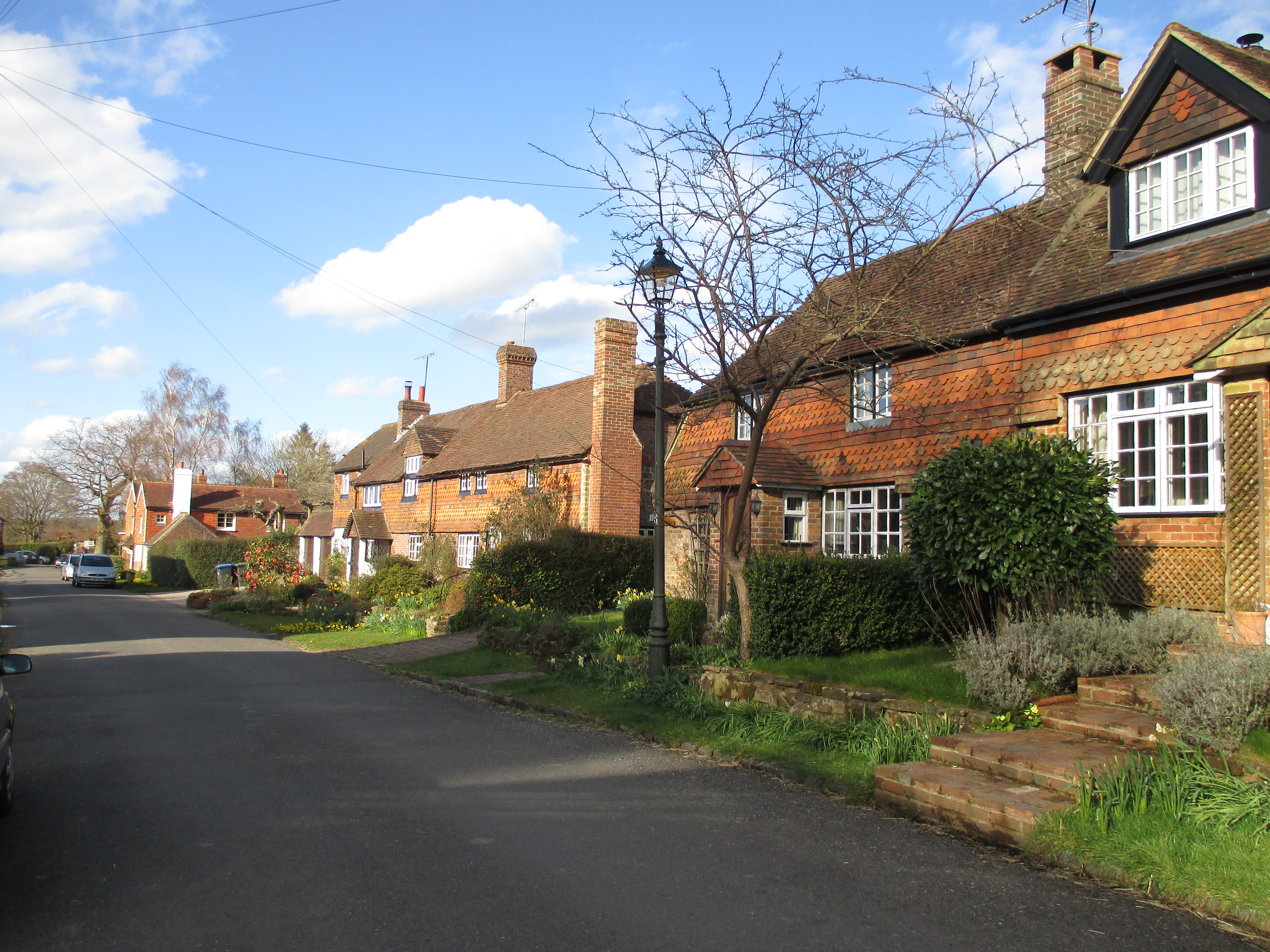
Barnfield Wood Images
Images are sourced within 2km of 51.00125/-0.23923322 or Grid Reference TQ2323. Thanks to Geograph Open Source API. All images are credited.


Barnfield Wood is located at Grid Ref: TQ2323 (Lat: 51.00125, Lng: -0.23923322)
Administrative County: West Sussex
District: Horsham
Police Authority: Sussex
What 3 Words
///cured.snow.likely. Near Cowfold, West Sussex
Nearby Locations
Related Wikis

Colwood, West Sussex
Colwood is a village near Warninglid in West Sussex, England. It is the site of Colwood Manor. == References == The geographic coordinates are from the...

Crabtree, West Sussex
Crabtree is a hamlet in the parish of Lower Beeding and in Horsham District of West Sussex, England. It lies on the A281 road 4.4 miles (7.1 km) southeast...

Wykehurst Place
Wykehurst Place (or Park) is a Gothic Revival mansion in Bolney, West Sussex, England, resembling more the châteaux of the Loire than an English manor...

Leonardslee
Leonardslee is an English country house and English landscape garden and woodland garden in Lower Beeding, near Horsham, West Sussex, England. The Grade...
Warninglid
Warninglid (historically known as Warninglyth and Warningeld) is a small village in the Mid Sussex District of West Sussex, England. It lies on the B2115...

Cowfold
Cowfold is a village and civil parish between Billingshurst and Haywards Heath in the Horsham District of West Sussex, England. The village is at the intersection...

Bolney
Bolney is a village and civil parish in the Mid Sussex district of West Sussex, England. It lies 36 miles (58 km) south of London, 11 miles (18 km) north...
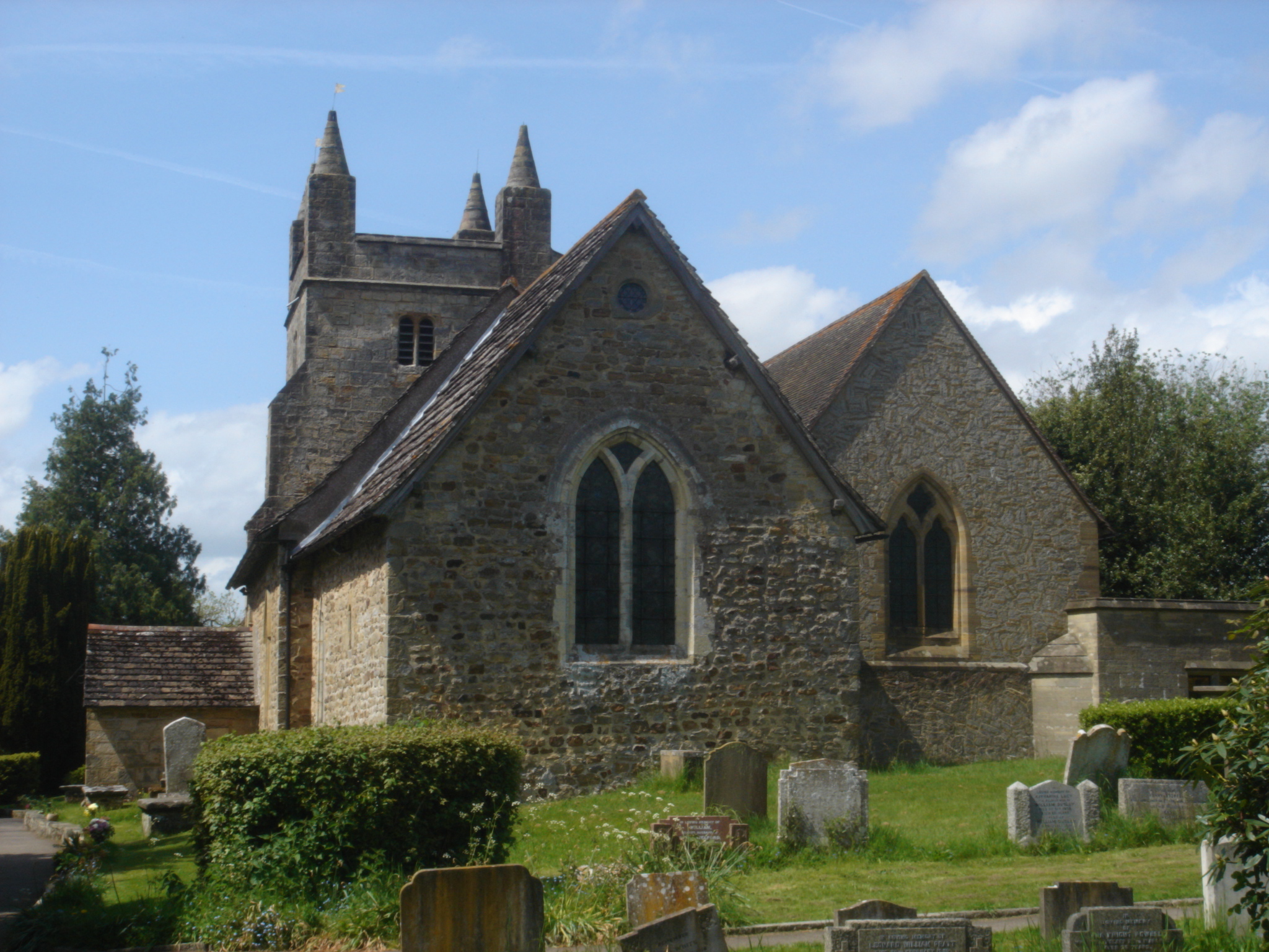
St Mary Magdalene's Church, Bolney
St Mary Magdalene's Church is an Anglican church in the village of Bolney in Mid Sussex, one of seven local government districts in the English county...
Nearby Amenities
Located within 500m of 51.00125,-0.23923322Have you been to Barnfield Wood?
Leave your review of Barnfield Wood below (or comments, questions and feedback).