The Copse
Wood, Forest in Sussex Horsham
England
The Copse
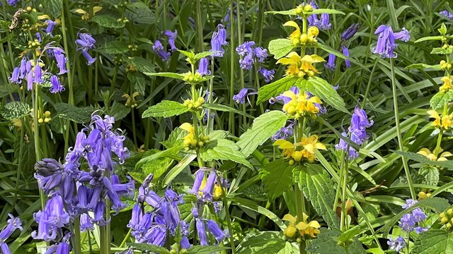
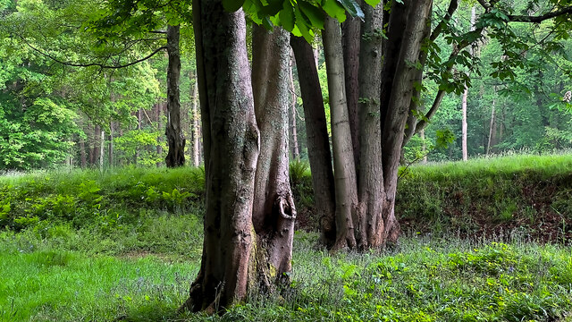
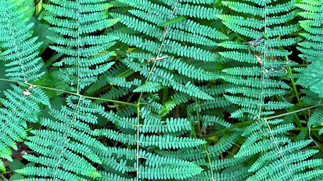
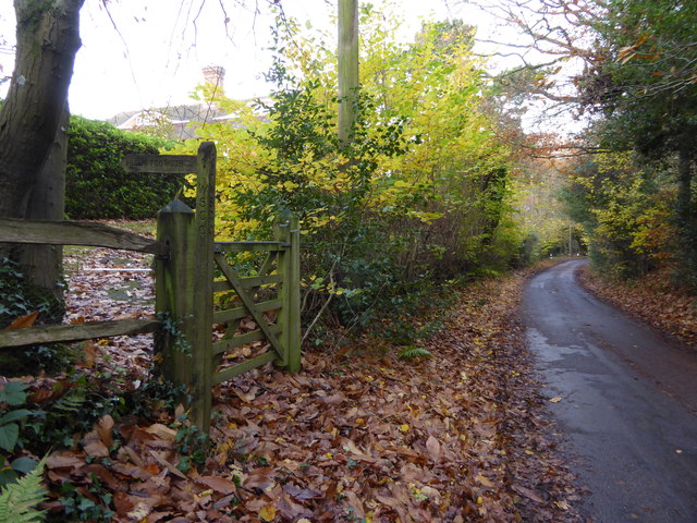
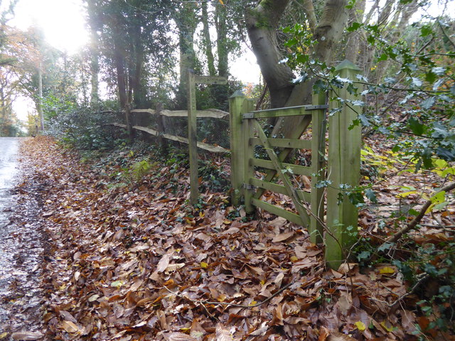
The Copse, located in Sussex, England, is a picturesque woodland area that spans over a sprawling 100 acres. Nestled within the South Downs National Park, this enchanting copse is renowned for its lush greenery, diverse flora, and tranquil atmosphere. The copse primarily consists of a mixture of broadleaf and coniferous trees, including oak, beech, ash, and pine, which create a rich and varied landscape.
The area is a haven for nature enthusiasts and outdoor adventurers, offering a myriad of walking trails that wind through the enchanting woodland. These paths cater to all abilities, from leisurely strolls to more challenging hikes, providing visitors with the opportunity to explore the copse's natural beauty at their own pace.
The Copse is also home to a plethora of wildlife, making it a haven for nature lovers and birdwatchers alike. Visitors may spot various species of birds, including woodpeckers, owls, and songbirds, as well as small mammals like squirrels and hedgehogs. The copse's diverse ecosystem supports a wide range of plants and flowers, creating a vibrant and colorful backdrop throughout the year.
In addition to its natural charm, The Copse offers several amenities for visitors' convenience, including well-maintained picnic areas, information boards, and designated parking facilities. The copse also hosts educational events and guided tours, allowing visitors to learn more about the local flora and fauna.
Overall, The Copse in Sussex is a captivating woodland retreat, offering a peaceful and immersive experience in the heart of nature.
If you have any feedback on the listing, please let us know in the comments section below.
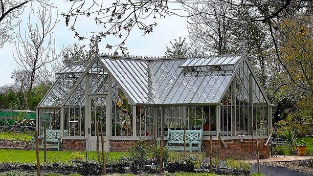
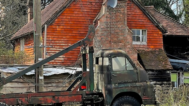
The Copse Images
Images are sourced within 2km of 50.994622/-0.24283294 or Grid Reference TQ2323. Thanks to Geograph Open Source API. All images are credited.


The Copse is located at Grid Ref: TQ2323 (Lat: 50.994622, Lng: -0.24283294)
Administrative County: West Sussex
District: Horsham
Police Authority: Sussex
What 3 Words
///reddish.midfield.accordion. Near Cowfold, West Sussex
Nearby Locations
Related Wikis

Colwood, West Sussex
Colwood is a village near Warninglid in West Sussex, England. It is the site of Colwood Manor. == References == The geographic coordinates are from the...

Cowfold
Cowfold is a village and civil parish between Billingshurst and Haywards Heath in the Horsham District of West Sussex, England. The village is at the intersection...

Crabtree, West Sussex
Crabtree is a hamlet in the parish of Lower Beeding and in Horsham District of West Sussex, England. It lies on the A281 road 4.4 miles (7.1 km) southeast...

Bolney
Bolney is a village and civil parish in the Mid Sussex district of West Sussex, England. It lies 36 miles (58 km) south of London, 11 miles (18 km) north...
St Mary Magdalene's Church, Bolney
St Mary Magdalene's Church is an Anglican church in the village of Bolney in Mid Sussex, one of seven local government districts in the English county...

Wykehurst Place
Wykehurst Place (or Park) is a Gothic Revival mansion in Bolney, West Sussex, England, resembling more the châteaux of the Loire than an English manor...

Leonardslee
Leonardslee is an English country house and English landscape garden and woodland garden in Lower Beeding, near Horsham, West Sussex, England. The Grade...
Warninglid
Warninglid (historically known as Warninglyth and Warningeld) is a small village in the Mid Sussex District of West Sussex, England. It lies on the B2115...
Nearby Amenities
Located within 500m of 50.994622,-0.24283294Have you been to The Copse?
Leave your review of The Copse below (or comments, questions and feedback).