The Wood
Wood, Forest in Surrey Epsom and Ewell
England
The Wood
The Wood, Surrey, also known as Wood or Forest, is a quaint village located in the county of Surrey, England. Situated on the outskirts of London, it is known for its picturesque beauty, rich history, and close-knit community.
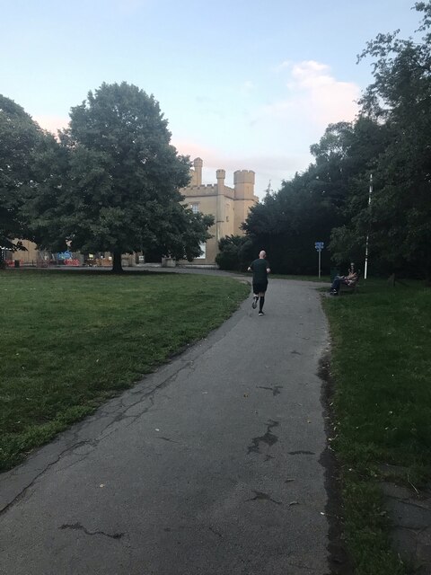
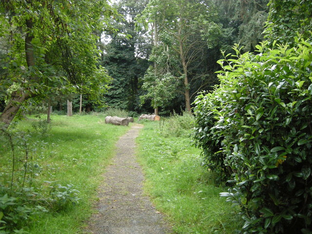
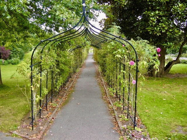
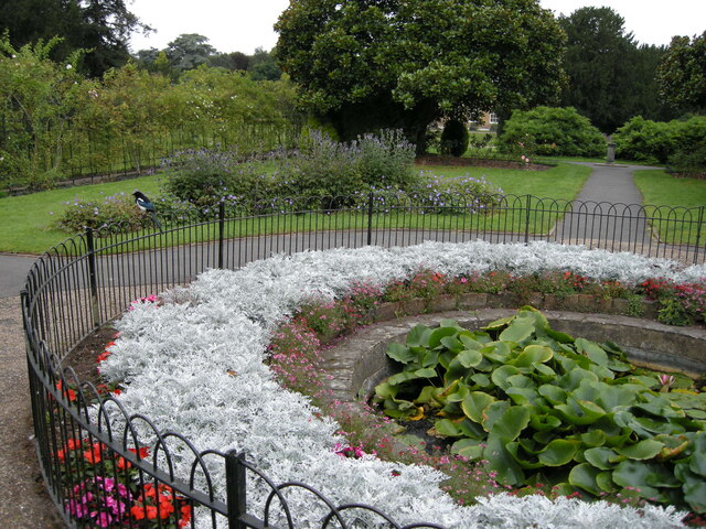
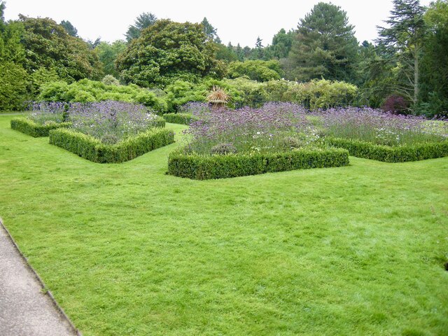
The village is surrounded by sprawling woodlands, which add to its charm and give it its name. These lush woods provide a serene and idyllic setting, offering numerous opportunities for outdoor activities such as hiking, cycling, and birdwatching. The Wood is particularly popular with nature enthusiasts and those seeking a peaceful retreat from the bustling city life.
The village itself is characterized by its traditional English architecture, with charming cottages and historic buildings lining its streets. The local community takes great pride in preserving the village's heritage, and many of the buildings have been meticulously restored to retain their original charm.
The Wood is also home to several amenities and services, including a village hall, a primary school, and a local pub. The pub serves as a hub for social gatherings and is a popular spot for locals to unwind and catch up with one another.
Additionally, The Wood enjoys excellent transport links, with easy access to major roads and railway stations. This makes it an attractive location for commuters who work in London but prefer to live in a more rural and peaceful environment.
Overall, The Wood, Surrey, is a delightful village that offers a perfect blend of natural beauty, historical significance, and a strong sense of community.
If you have any feedback on the listing, please let us know in the comments section below.
The Wood Images
Images are sourced within 2km of 51.360034/-0.22582601 or Grid Reference TQ2363. Thanks to Geograph Open Source API. All images are credited.


The Wood is located at Grid Ref: TQ2363 (Lat: 51.360034, Lng: -0.22582601)
Administrative County: Surrey
District: Epsom and Ewell
Police Authority: Surrey
What 3 Words
///people.lame.outer. Near Cheam, London
Nearby Locations
Related Wikis

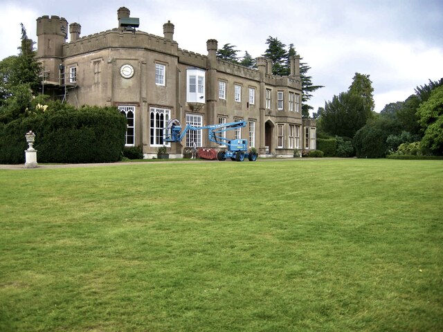
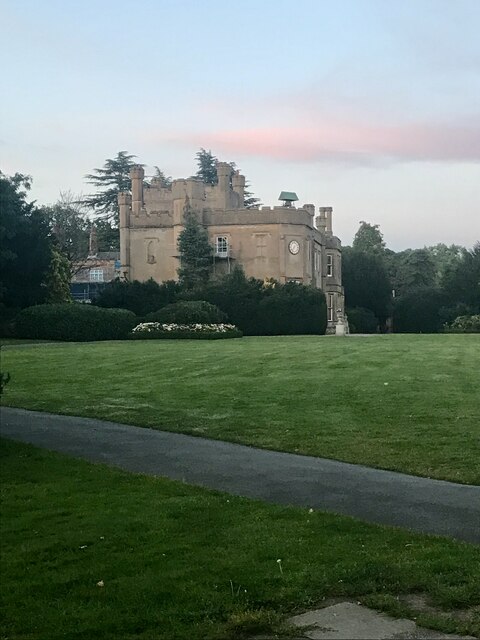
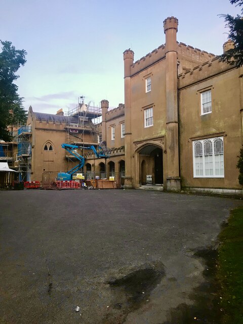
Nonsuch Mansion
Nonsuch Mansion is a historic house located within Nonsuch Park in north Surrey, England near the boundary with Greater London. It is in the borough of...

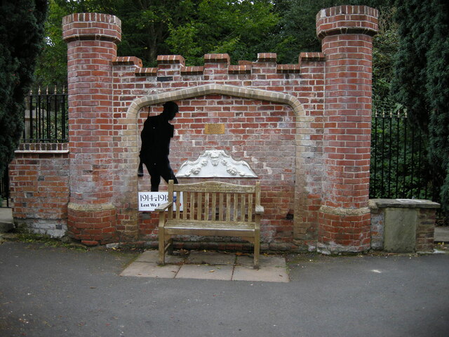
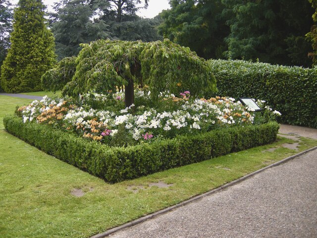
Nonsuch Park
Nonsuch Park is a public park between Stoneleigh, Cheam, and Ewell in the borough of Epsom and Ewell in Surrey, England. It borders the London Borough...

Nonsuch High School for Girls
Nonsuch High School is an all-girls' grammar school with an academy status, located in Cheam, in the borough of Epsom and Ewell in Surrey, England, on...

Cuddington, Surrey
Cuddington was a village in Surrey which was demolished to make way for Henry VIII's Nonsuch Palace near Cheam. Cuddington lay within the Copthorne hundred...

Whitehall, Cheam
Whitehall is a timber-framed historic house museum in the centre of Cheam Village, Sutton, Greater London. It is thought to have been a wattle and daub...
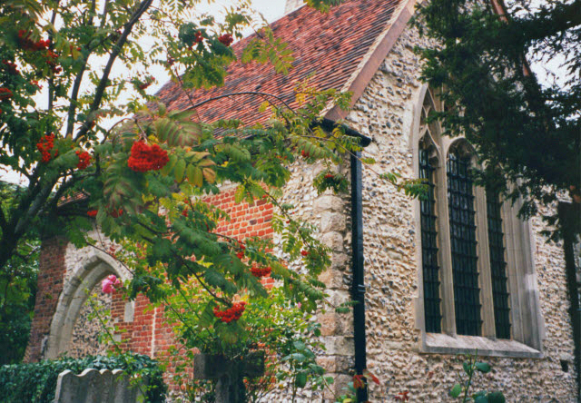
Lumley Chapel
The Lumley Chapel is a redundant Anglican church in the suburban village of Cheam, in the London Borough of Sutton, England. It is recorded in the National...
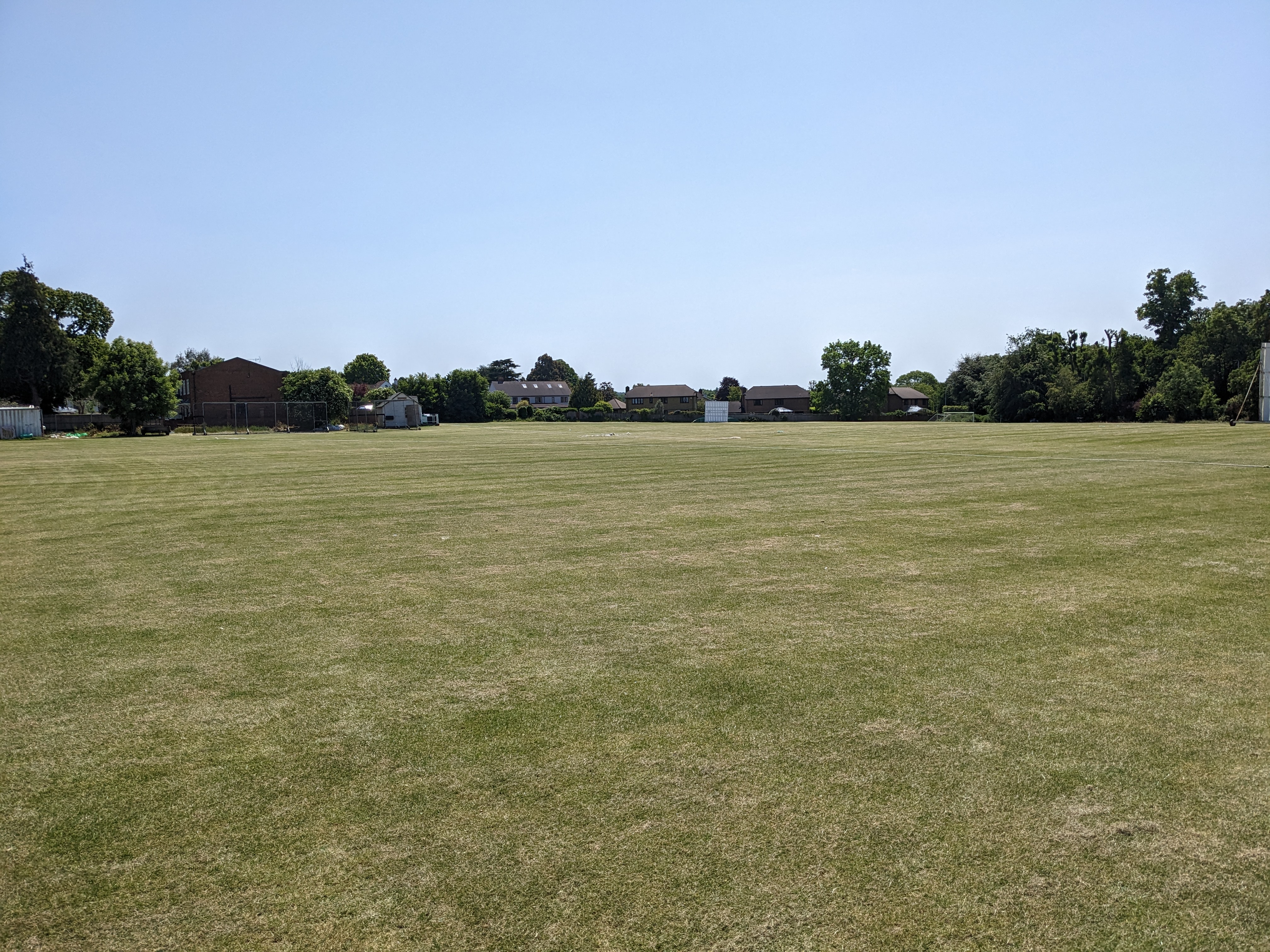
Cheam Cricket Club Ground
Cheam Cricket Club Ground is a cricket ground in Cheam, London (formerly Surrey). The first recorded match on the ground was in 1940, when Cheam played...
Cheam High School
Cheam High School is a mixed sex academy school located in Cheam, London Borough of Sutton, South London. It consists of a lower school, for those aged...
Nearby Amenities
Located within 500m of 51.360034,-0.22582601Have you been to The Wood?
Leave your review of The Wood below (or comments, questions and feedback).