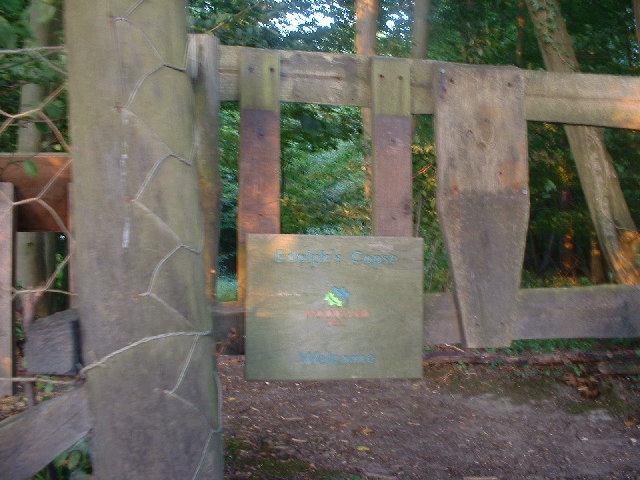
Edolphs Copse
Wood, Forest in Surrey Mole Valley
England
Edolphs Copse
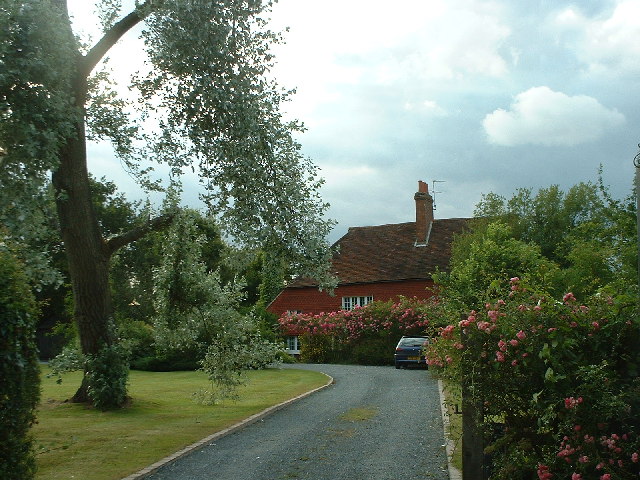
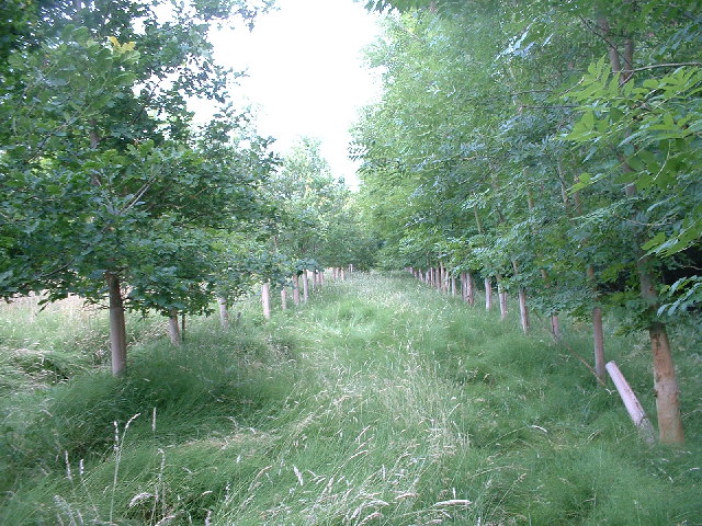
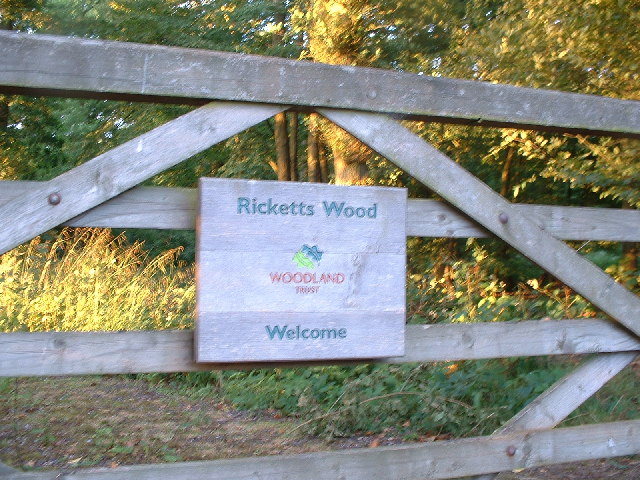
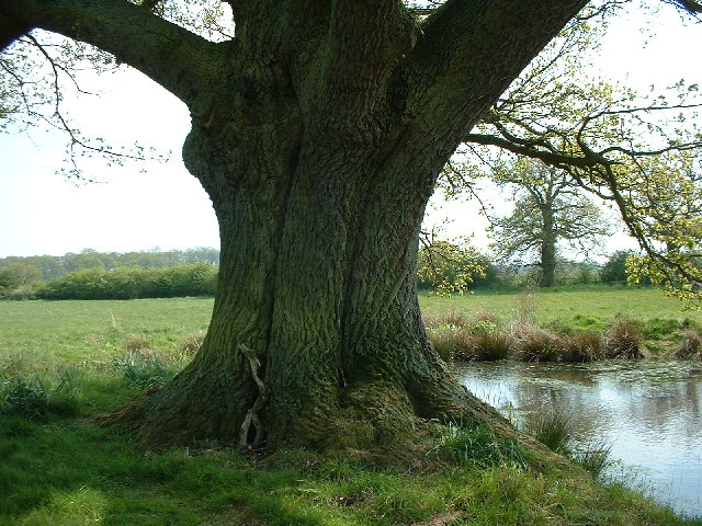
Edolphs Copse is a small wood located in Surrey, England. Covering an area of approximately 20 acres, the copse is a mixture of deciduous and coniferous trees, creating a diverse and rich habitat for wildlife. The woodland is managed by the local council and is open to the public for walking, birdwatching, and enjoying nature.
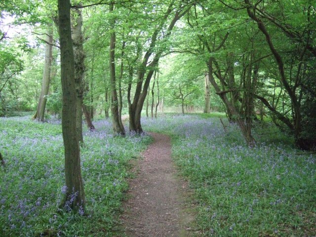
Visitors to Edolphs Copse can expect to see a variety of flora and fauna, including oak, beech, and pine trees, as well as bluebells, ferns, and mosses. The wood is home to a range of bird species, such as robins, blackbirds, and woodpeckers, making it a popular spot for birdwatchers.
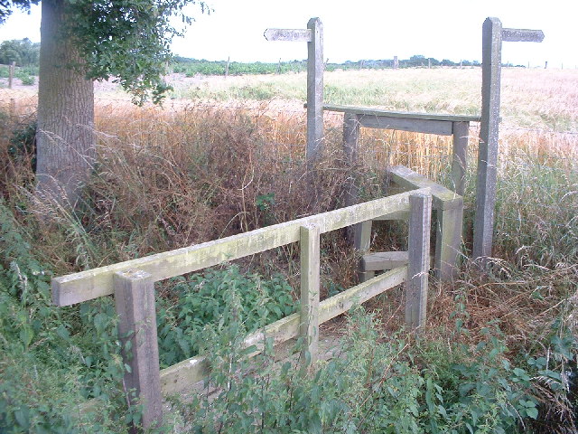
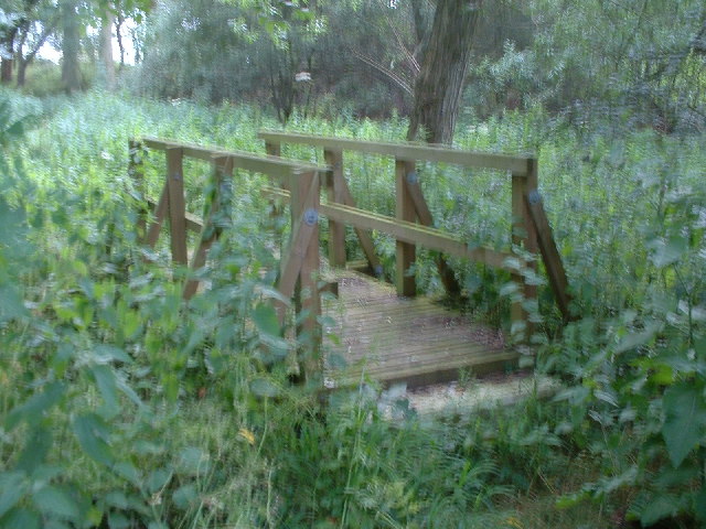
Trails wind through the woodland, allowing visitors to explore the peaceful surroundings and immerse themselves in nature. The copse is a tranquil and serene place, providing a welcome escape from the hustle and bustle of everyday life.
Overall, Edolphs Copse is a beautiful and well-maintained woodland that offers a peaceful retreat for nature lovers and outdoor enthusiasts in Surrey.
If you have any feedback on the listing, please let us know in the comments section below.
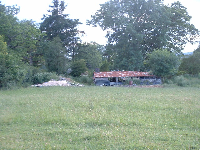
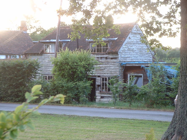
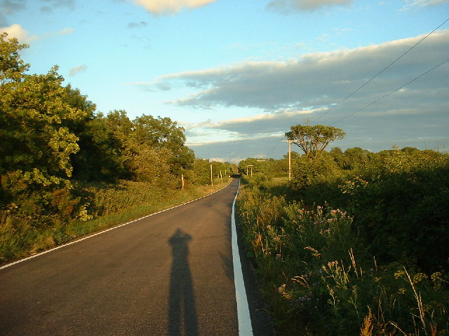
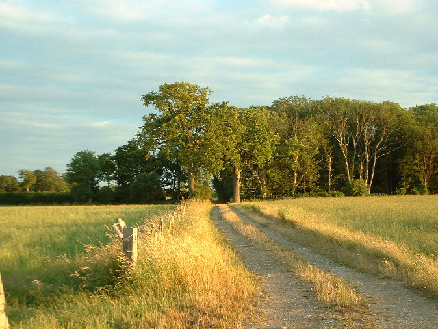
Edolphs Copse Images
Images are sourced within 2km of 51.16638/-0.23328127 or Grid Reference TQ2342. Thanks to Geograph Open Source API. All images are credited.
Edolphs Copse is located at Grid Ref: TQ2342 (Lat: 51.16638, Lng: -0.23328127)
Administrative County: Surrey
District: Mole Valley
Police Authority: Surrey
What 3 Words
///wool.adjust.happy. Near Langley Green, West Sussex
Nearby Locations
Related Wikis
Edolph's Copse
Edolph's Copse is a 27.6-hectare (68-acre) Local Nature Reserve west of Horley in Surrey. It is owned and managed by the Woodland Trust.The copse is mainly...

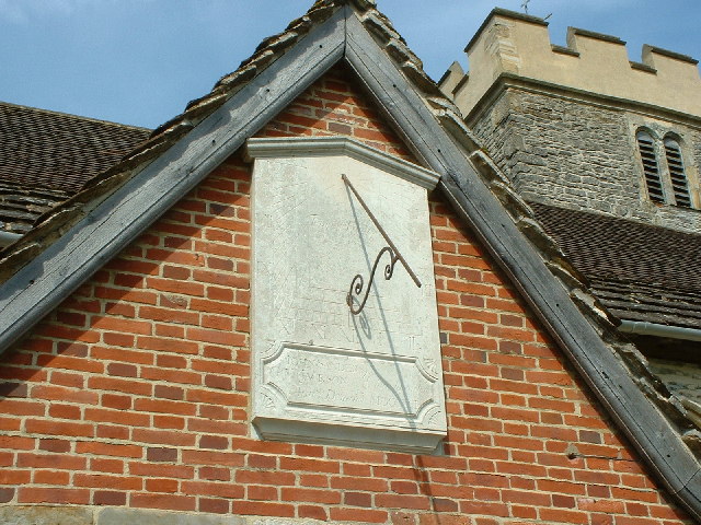
Church of St Nicholas, Charlwood
The Church of St Nicholas, Charlwood, is the parish church of Charlwood, Surrey, England. With a 12th-century tower and nave section and examples of 13th...
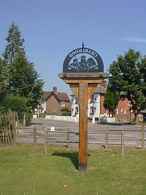
Charlwood
Charlwood is a village and civil parish in the Mole Valley district of Surrey, England. It is immediately northwest of London Gatwick Airport in West Sussex...
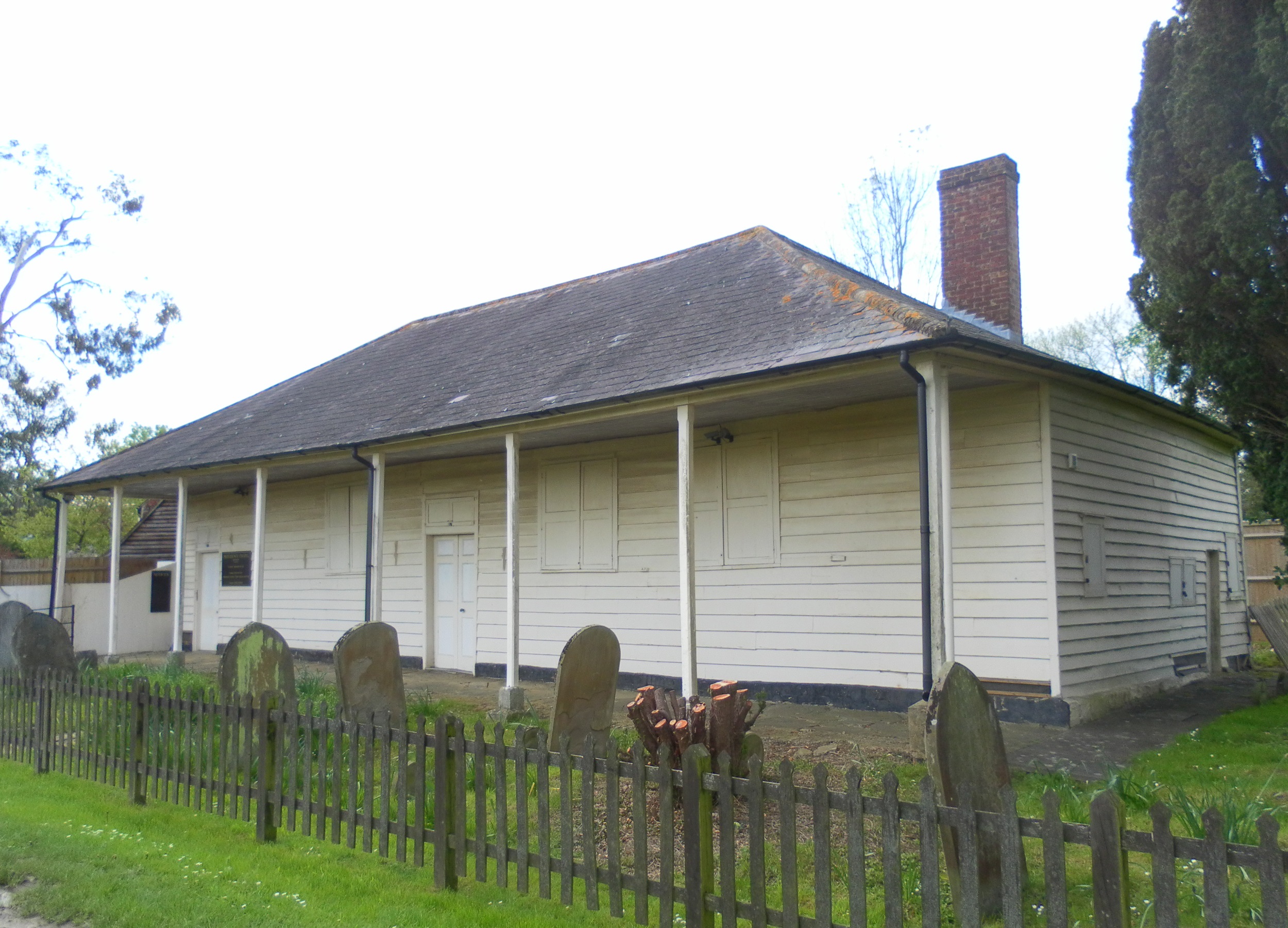
Providence Chapel, Charlwood
Providence Chapel (founded as Charlwood Union Chapel) is a former Nonconformist place of worship in the village of Charlwood in the English county of Surrey...
Nearby Amenities
Located within 500m of 51.16638,-0.23328127Have you been to Edolphs Copse?
Leave your review of Edolphs Copse below (or comments, questions and feedback).